The best running trails around Freycenet-La-Tour
4.6
(11)
1,237
runners
59
runs
Jogging around Freycenet-La-Tour offers routes through a mountainous landscape, situated at an altitude of 1100 meters in the Haute-Loire department. The region features diverse terrain, including forests, open views, and proximity to volcanic peaks. Joggers can explore trails that traverse natural features like the Étang des Barthes and offer views of the surrounding Auvergne-Rhône-Alpes region.
Best jogging routes around Freycenet-La-Tour
- The most popular jogging route is Le Monastier-sur-Gazeille loop from Le Monastier-sur-Gazeille, a 5.2 miles (8.4 km) trail that…
Last updated: June 30, 2026
16
runners
8.44km
00:59
210m
210m
Moderate run. Good fitness required. Mostly paved surfaces. Suitable for all skill levels.
13
runners
Hard run. Very good fitness required. Sure-footedness, sturdy shoes and alpine experience required.

Sign up for free
13
runners
Moderate run. Good fitness required. Mostly paved surfaces. Suitable for all skill levels.
5
runners
12.8km
01:25
260m
260m
Moderate run. Good fitness required. Mostly paved surfaces. Suitable for all skill levels.
5
runners
8.60km
01:00
230m
230m
Moderate run. Good fitness required. Mostly paved surfaces. Suitable for all skill levels.
Get access to more routes and recommendations from other explorers.
Sign up for free
Already have an account?
Our route recommendations are based on thousands of hikes, rides, and runs completed by other people on komoot.
Start today with a free account
Your next adventure awaits.
Login or Signup
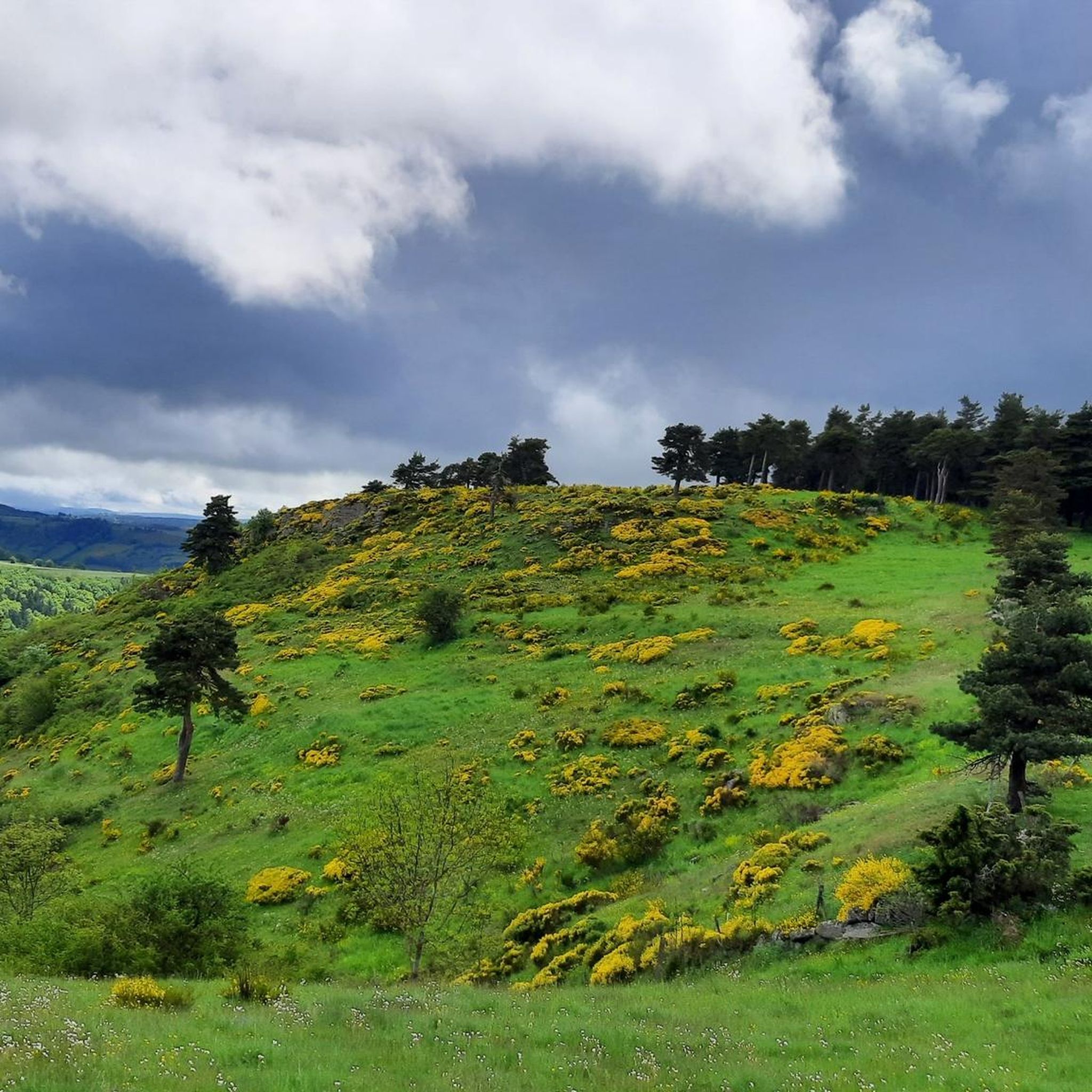
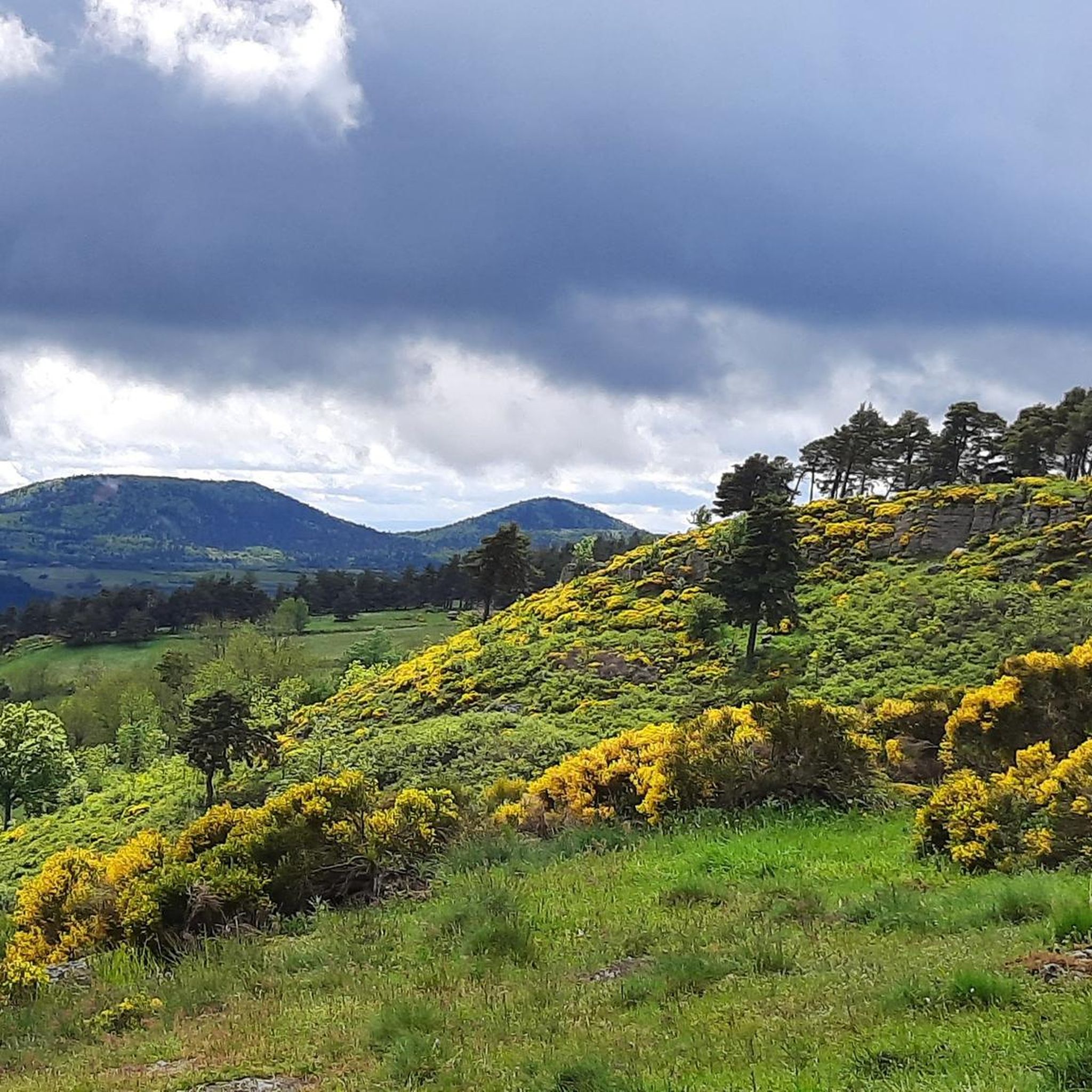
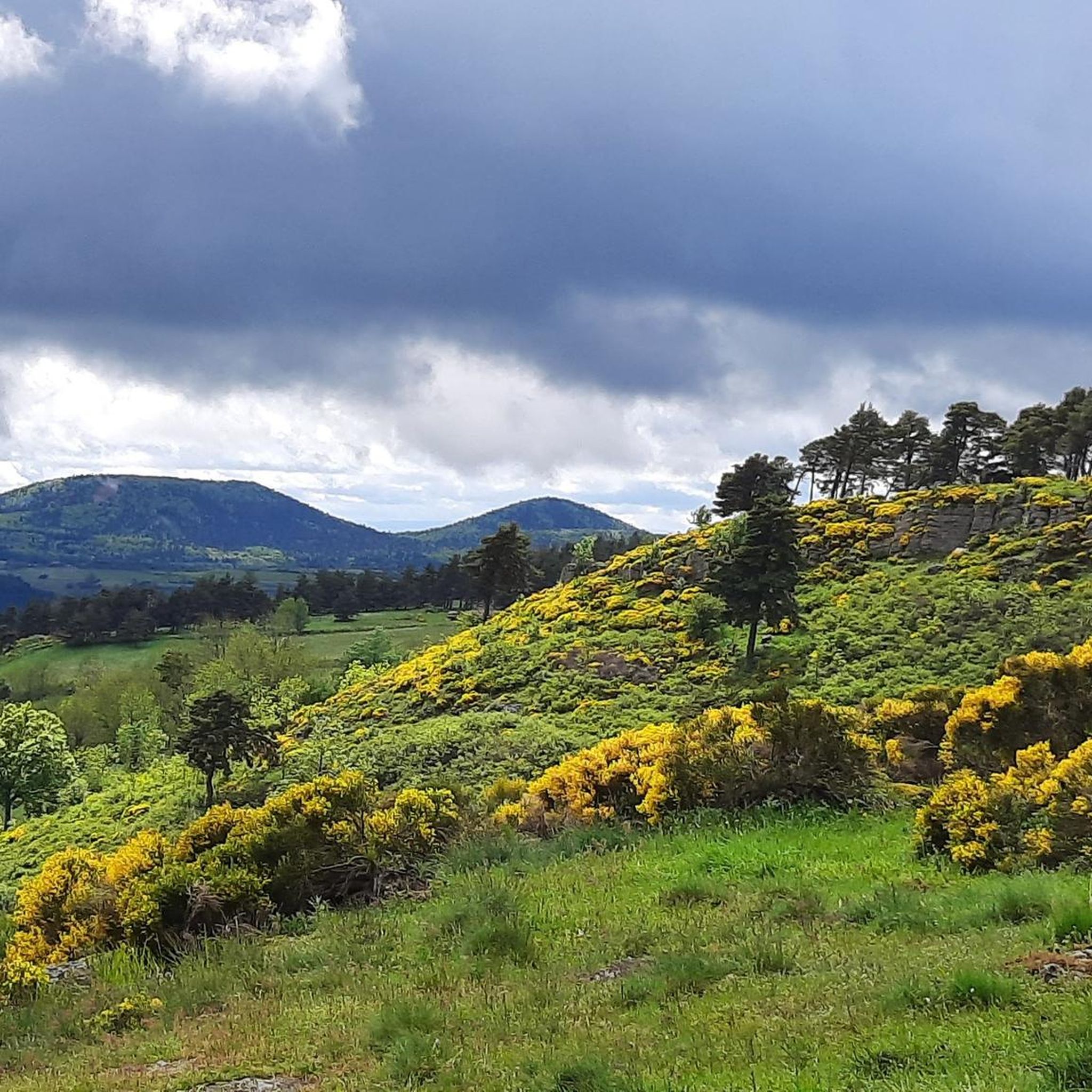
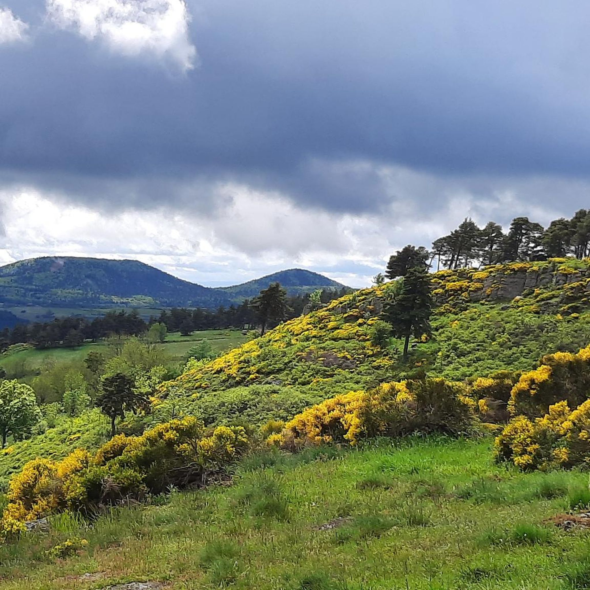

Tips from the Community

Lots of hikers. Be polite and share the trail. The descent with the small steps is a treat.
0
0

pretty flowers, pretty trees, pretty views, but what more could you ask for...oh yes, a windbreaker, because the mistral makes his grandmother cold.
0
0
The cross is a bit ugly but it is not for it that we come to frolic in these green lands but rather for this landscape that would make a Caribou pale.
0
0
landscape that would make a caribou pale
0
0

A pass at an altitude of over 1500 m. It is the highest in Ardèche.
0
0

One of the highest road points in Haute-Loire, and a very beautiful view of the Pic Du Lisieux
0
0

The paths on Mont Mezenc have recently been renovated. Not all of the paths shown are still there. The remaining paths are relatively wide for a mountain peak and easy to walk.
0
0

beginner mountain bike ride
0
0
Frequently Asked Questions
How many running routes are available around Freycenet-La-Tour?
There are over 50 running routes available around Freycenet-La-Tour, offering a wide variety of options for different skill levels and preferences. The komoot community has explored more than 1400 of these trails.
What kind of terrain can I expect on the running trails in Freycenet-La-Tour?
The running trails around Freycenet-La-Tour offer diverse terrain, ranging from forested paths with gentle inclines to more challenging mountainous sections. You can expect beautiful clear views, bucolic landscapes, and trails that traverse natural features like ponds and volcanic peaks, all situated at an altitude of around 1100 meters.
Are there running routes suitable for beginners in Freycenet-La-Tour?
Yes, Freycenet-La-Tour offers several running routes suitable for beginners. There are 4 easy routes available, perfect for those new to running or looking for a more relaxed jog through the scenic landscape.
What do other runners appreciate about the trails in Freycenet-La-Tour?
The running routes in Freycenet-La-Tour are highly rated by the komoot community, with an average score of 4.8 stars. Runners often praise the varied terrain, the stunning mountainous backdrop, and the opportunity to explore the preserved natural environment of the Haute-Loire department.
Can I find running routes that pass by waterfalls near Freycenet-La-Tour?
Yes, you can discover running routes that lead to beautiful waterfalls. For example, the Souteyros Waterfalls loop from Moudeyres is a moderate 5.3-mile (8.6 km) trail that takes you through forested areas and past these scenic cascades.
Are there any running trails that offer panoramic views of the region?
Absolutely. Many trails in the area provide expansive views, especially those that ascend to higher elevations. The South summit of Mont Mézenc – North summit of Mont Mézenc loop from La Louvêche is a challenging 12.9-mile (20.8 km) path that offers significant elevation gain and breathtaking vistas from the volcanic Mont Mézenc.
Are there running routes that explore natural landmarks like lakes or ponds?
Yes, the region features beautiful natural landmarks. The Étang des Barthes, a peaceful pond within the forest, is a key highlight with an interpretive trail. While not explicitly listed as a jogging route in the guide, the "Boucle de Saint-Régis et de l'Étang des Barthes" is a known route in the area that includes this picturesque spot. Additionally, the Lac de Saint-Front is another natural monument nearby that could be incorporated into longer runs.
What natural attractions can I discover while running in Freycenet-La-Tour?
While running around Freycenet-La-Tour, you can discover several natural attractions. These include the impressive South summit of Mont Mézenc, various viewpoints like Col de la Croix Peccata, and other natural monuments such as Suc de Chapteuil and Lac de Saint-Front.
Are there any circular running routes available in the Freycenet-La-Tour area?
Many of the running routes in the Freycenet-La-Tour area are designed as circular loops, allowing you to start and end at the same point. Examples include the popular Le Monastier-sur-Gazeille loop from Le Monastier-sur-Gazeille and the View from the cross loop from Le Monastier-sur-Gazeille.
Are there options for longer distance running or trail running near Freycenet-La-Tour?
Yes, the region is well-suited for longer distance running and trail running. The Haute-Ardèche-Lignon-Mézenc trail station, located at 1,000 meters altitude, offers signposted circuits for all levels, including routes up to 34.81 km. The South summit of Mont Mézenc – North summit of Mont Mézenc loop from La Louvêche is a challenging 12.9-mile (20.8 km) route that provides a significant workout.
Can I find running routes that are close to historical sites or villages?
Yes, some running routes allow you to explore charming villages and historical sites. The Château abbatial loop from Le Monastier-sur-Gazeille is a moderate 13.4 km route that starts from Le Monastier-sur-Gazeille, a village known for its abbey and historical significance.
Is Freycenet-La-Tour a good destination for running with varied elevation?
Freycenet-La-Tour is an excellent destination for running with varied elevation. Situated at 1100 meters, the area is characterized by its mountainous terrain and volcanic peaks like Mont Mézenc, ensuring that many routes include significant ascents and descents, providing a good challenge and rewarding views.
Most popular attractions around Freycenet-La-Tour

Get inspired with the komoot mobile app


Explore more
Browse the best Running Trails & Routes in other regions.
