The best road cycling routes around Freycenet-La-Tour
4.7
(46)
932
riders
68
rides
Road cycling around Freycenet-La-Tour is characterized by its high-altitude plateaus, forests, and volcanic features within the Haute-Loire department. The region offers varied topography, from gradual ascents across plateaus to more challenging climbs. Cyclists can expect routes through diverse vegetation, including significant deciduous forests, and open views across the landscape. The area's volcanic formations contribute to unique terrain suitable for road cycling.
Best road cycling routes around Freycenet-La-Tour
- The most popular road cycling route is Boutières Cross Pass loop from Moudeyres…
Last updated: July 1, 2026
5.0
(3)
40
riders
48.4km
02:28
840m
840m
Moderate road ride. Good fitness required. Mostly well-paved surfaces and easy to ride.
18
riders
44.1km
02:21
880m
880m
Moderate road ride. Good fitness required. Mostly well-paved surfaces and easy to ride.

Sign up for free
19
riders
57.2km
02:49
820m
820m
Moderate road ride. Good fitness required. Mostly well-paved surfaces and easy to ride.
11
riders
69.0km
03:34
1,260m
1,260m
Hard road ride. Very good fitness required. Mostly well-paved surfaces and easy to ride.
14
riders
31.8km
01:40
600m
610m
Moderate road ride. Good fitness required. Mostly well-paved surfaces and easy to ride.
Get access to more routes and recommendations from other explorers.
Sign up for free
Already have an account?
Our route recommendations are based on thousands of hikes, rides, and runs completed by other people on komoot.
Start today with a free account
Your next adventure awaits.
Login or Signup
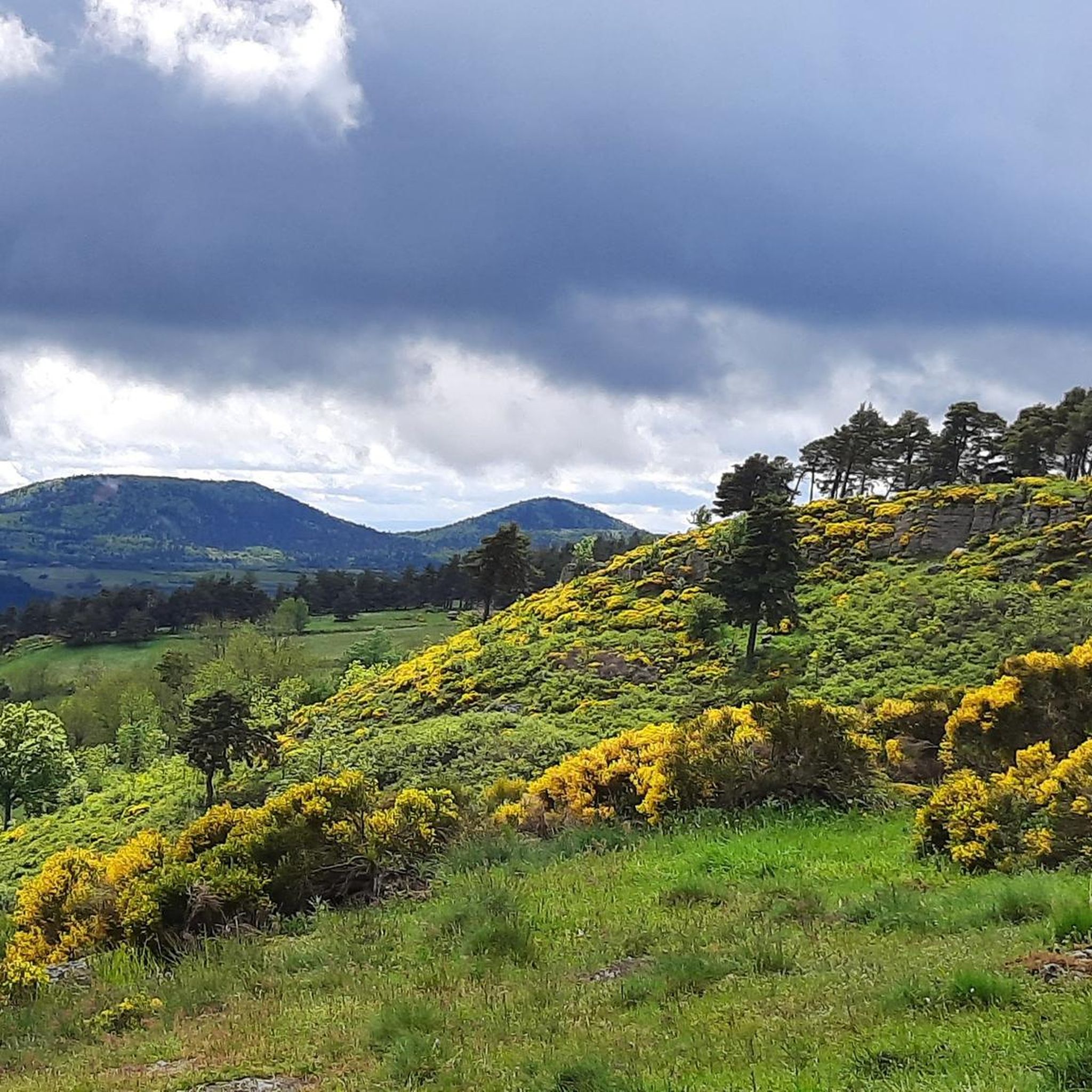
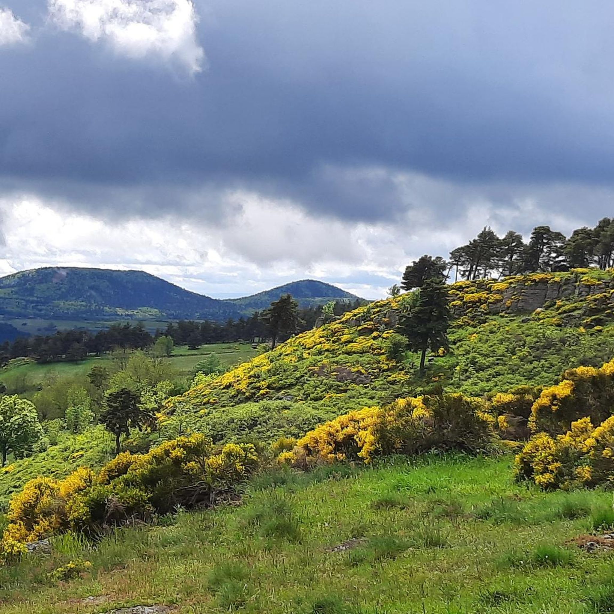
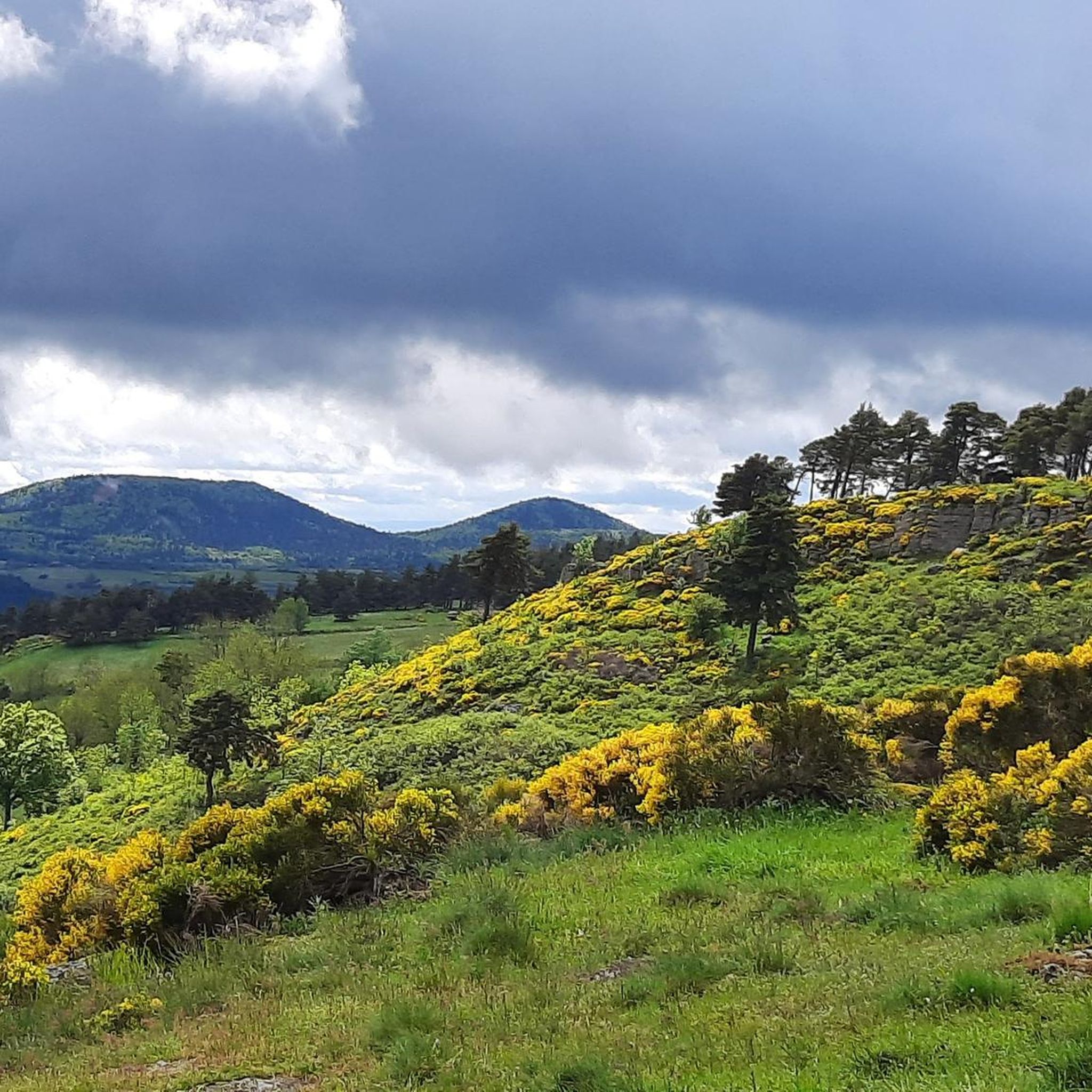
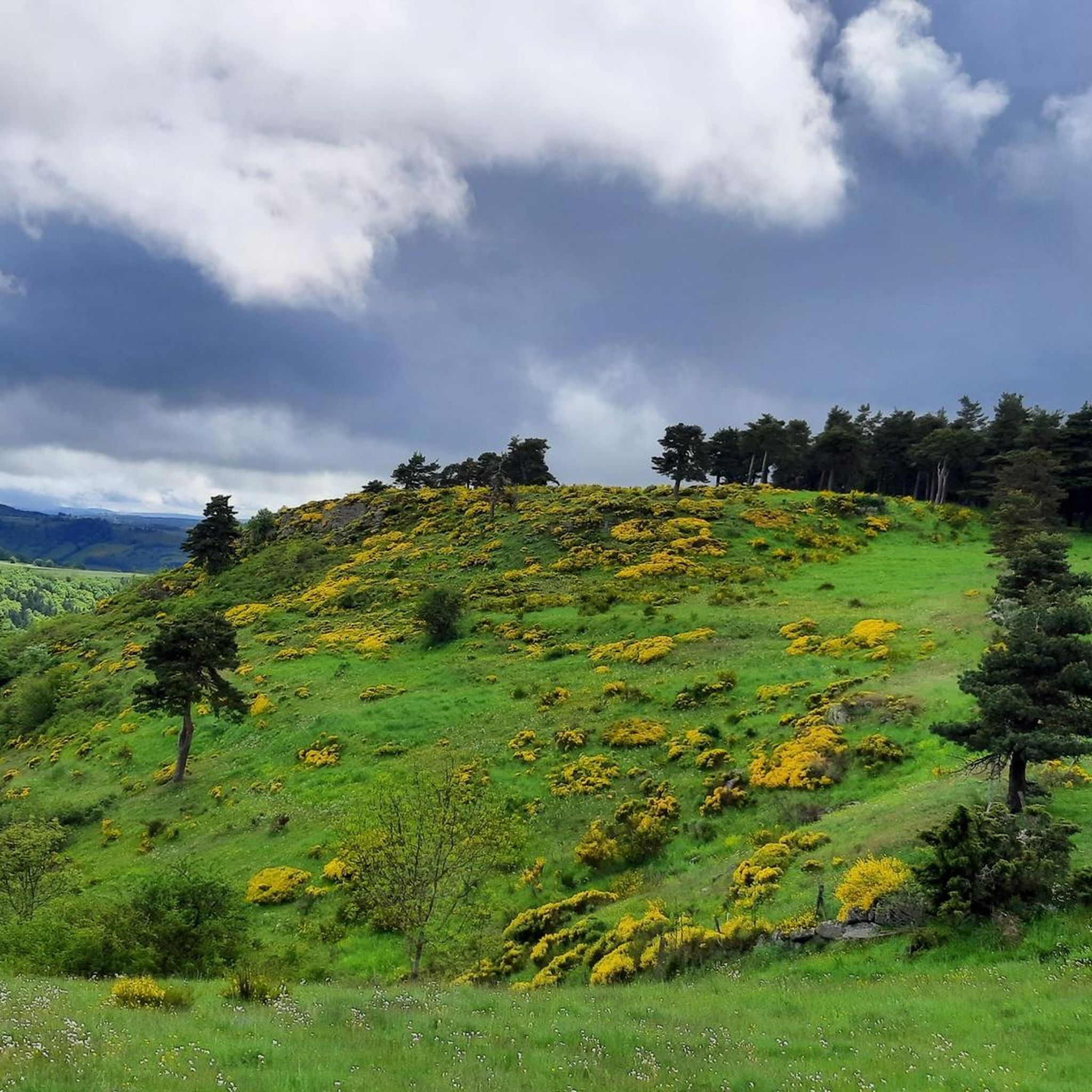

Tips from the Community

pretty flowers, pretty trees, pretty views, but what more could you ask for...oh yes, a windbreaker, because the mistral makes his grandmother cold.
0
0
If you are a short person and you venture into the fields of erigeron, say goodbye to your family and friends... it is very likely that they will never see you again.
0
0
The cross is a bit ugly but it is not for it that we come to frolic in these green lands but rather for this landscape that would make a Caribou pale.
0
0
landscape that would make a caribou pale
0
0

The pretty town of St-Julien-Chapteuil at the foot of the Meygal peaks.
0
0

A pass at an altitude of over 1500 m. It is the highest in Ardèche.
0
0

One of the highest road points in Haute-Loire, and a very beautiful view of the Pic Du Lisieux
0
0
Magnificent view! Real mountain atmosphere, with lots of flowers!
0
0
Frequently Asked Questions
How many road cycling routes are available around Freycenet-La-Tour?
There are over 70 road cycling routes around Freycenet-La-Tour. These include 39 moderate routes and 34 difficult routes, offering a wide range of options for different skill levels.
What kind of terrain can I expect on road cycling routes in Freycenet-La-Tour?
The region around Freycenet-La-Tour is characterized by high-altitude plateaus, dense forests, and distinctive volcanic features. You can expect varied topography, from gradual ascents across open plateaus to more challenging climbs through rugged volcanic landscapes. Routes often feature diverse vegetation and offer open views.
Are there any circular road cycling routes in the area?
Yes, many routes around Freycenet-La-Tour are designed as loops. For instance, the Boutières Cross Pass loop from Moudeyres is a popular moderate route, and the Roadbike loop from Laussonne offers a scenic circular journey through the high-altitude landscapes.
What are some notable landmarks or viewpoints I can see while road cycling?
Road cycling routes often pass by significant natural and historical landmarks. You might encounter the iconic Boutières Cross Pass, or enjoy panoramic vistas from Col de la Croix Peccata. The region is also home to volcanic features like the Suc de Chapteuil and the South summit of Mont Mézenc, offering unique scenery.
Are there any routes that pass by natural water features like lakes or waterfalls?
Yes, you can find routes that incorporate beautiful natural water features. The tranquil Lac de Saint-Front is a notable lake in the vicinity. While not directly on a featured route, the stunning Cascade de la Beaume and Lac du Bouchet are also within a reasonable distance and can be incorporated into longer rides for a scenic stop.
What do other road cyclists say about the routes in Freycenet-La-Tour?
The road cycling routes around Freycenet-La-Tour are highly rated by the komoot community, with an average score of 4.5 stars from over 40 reviews. Cyclists often praise the varied terrain, the challenging climbs, and the stunning natural beauty of the high-altitude plateaus and volcanic landscapes.
Are there any routes that include historical sites?
Yes, some routes offer a blend of natural beauty and historical interest. For example, the Old bridge of Brives (ruins) – Galard Bridge loop from Laussonne leads through historical landmarks, providing a cultural dimension to your ride. The broader region also features charming villages and sites like Arlempdes and Le Puy-en-Velay.
What is the best time of year for road cycling in Freycenet-La-Tour?
Given its high-altitude location, the best time for road cycling in Freycenet-La-Tour is typically from late spring through early autumn (May to October). During these months, the weather is generally more favorable, with milder temperatures and less chance of snow, allowing for comfortable exploration of the plateaus and mountain passes.
Are there options for longer, more challenging road cycling tours?
Absolutely. For those seeking a greater challenge, routes like the Old bridge of Brives (ruins) – Pont de la Chartreuse loop from Laussonne cover over 64 km with significant elevation gain, making them suitable for experienced cyclists looking for a demanding ride. Another option is the Old bridge of Brives (ruins) – Lavoûte-sur-Loire Bridge loop from Laussonne, which extends over 71 km.
Is Freycenet-La-Tour suitable for family-friendly road cycling?
While many routes involve significant elevation changes, the region's plateaus and forested sections can offer relatively gentler terrain. For family-friendly cycling, look for routes with less strenuous elevation changes, often found on the plateau of Freycenet-La-Tour itself or within the woods of Breysse. Always check the route's elevation profile and difficulty before setting out with children.
Where can I find places to eat or stay near the cycling routes?
Freycenet-La-Tour and nearby villages offer various amenities for cyclists. You can find local restaurants and cafes to refuel, as well as accommodation options like gites and campsites. Les Estables, a nearby tourist village, is also a good point of interest for services and facilities.
Most popular attractions around Freycenet-La-Tour

Get inspired with the komoot mobile app


Explore more
Browse the best Road cycling routes in other regions.
