The best mountain hikes around Saint-Lary-Soulan
4.8
(29)
135
hikers
15
hikes
Mountaineering routes around Saint-Lary-Soulan traverse the high Pyrenean landscape, characterized by rugged peaks, deep valleys, and numerous alpine lakes. The region offers challenging ascents and descents through varied terrain, including rocky paths and high mountain passes. This area is known for its significant elevation changes, providing a demanding environment for experienced mountaineers.
Best mountaineering routes around Saint-Lary-Soulan
- The most popular mountaineering route is Néouvielle Peak loop from Réserve naturelle du Néouvielle, a 5.0 miles (8.0 km) trail that takes…
Last updated: July 4, 2026
14
hikers
16.6km
05:44
850m
850m
Hard mountaineering route. Very good fitness required. Mostly accessible paths. Sure-footedness required.
4.0
(2)
12
hikers
10.3km
07:11
1,360m
1,360m
Hard mountaineering route. Very good fitness required. Sure-footedness, sturdy shoes and alpine experience required.

Sign up for free
5.0
(3)
6
hikers
8.69km
03:51
580m
580m
Moderate mountaineering route. Good fitness required. Mostly accessible paths. Sure-footedness required.
5
hikers
13.4km
05:03
660m
670m
Hard mountaineering route. Very good fitness required. Mostly accessible paths. Sure-footedness required.
5.0
(2)
8
hikers
14.3km
07:02
1,030m
1,030m
Hard mountaineering route. Very good fitness required. Sure-footedness, sturdy shoes and alpine experience required.
Get access to more routes and recommendations from other explorers.
Sign up for free
Already have an account?
Our route recommendations are based on thousands of hikes, rides, and runs completed by other people on komoot.
Start today with a free account
Your next adventure awaits.
Login or Signup
Popular around Saint-Lary-Soulan
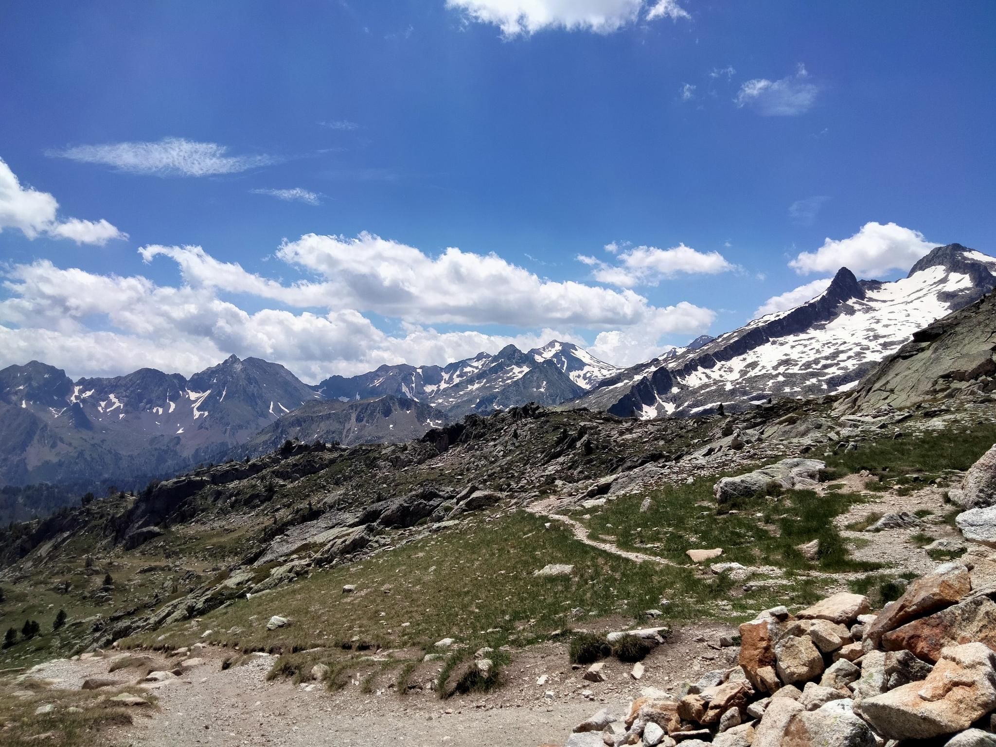
Hexatrek, the western and central Pyrenees – Between mountains and the ocean
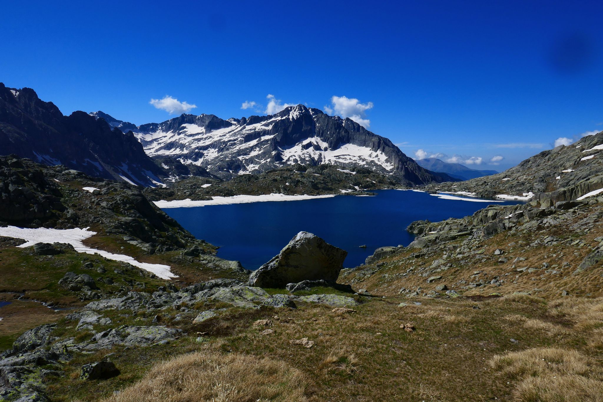
GR 10 – Central Pyrenees crossing the Pyrenees
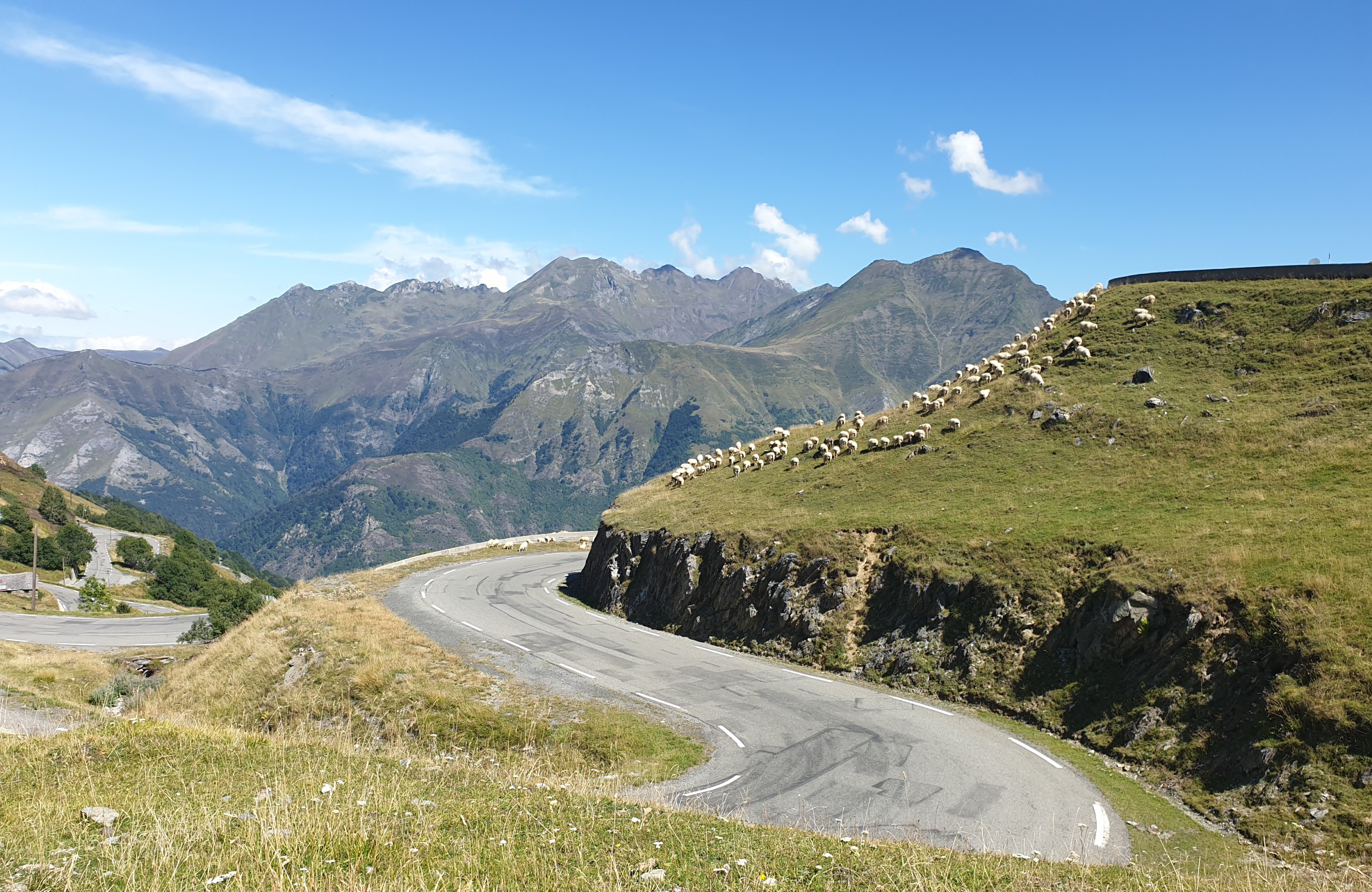
Between myths and legends – emblematic passes of the Pyrenees

Panoramic Pyrenees – 15 hikers' peaks of over 3,000 metres
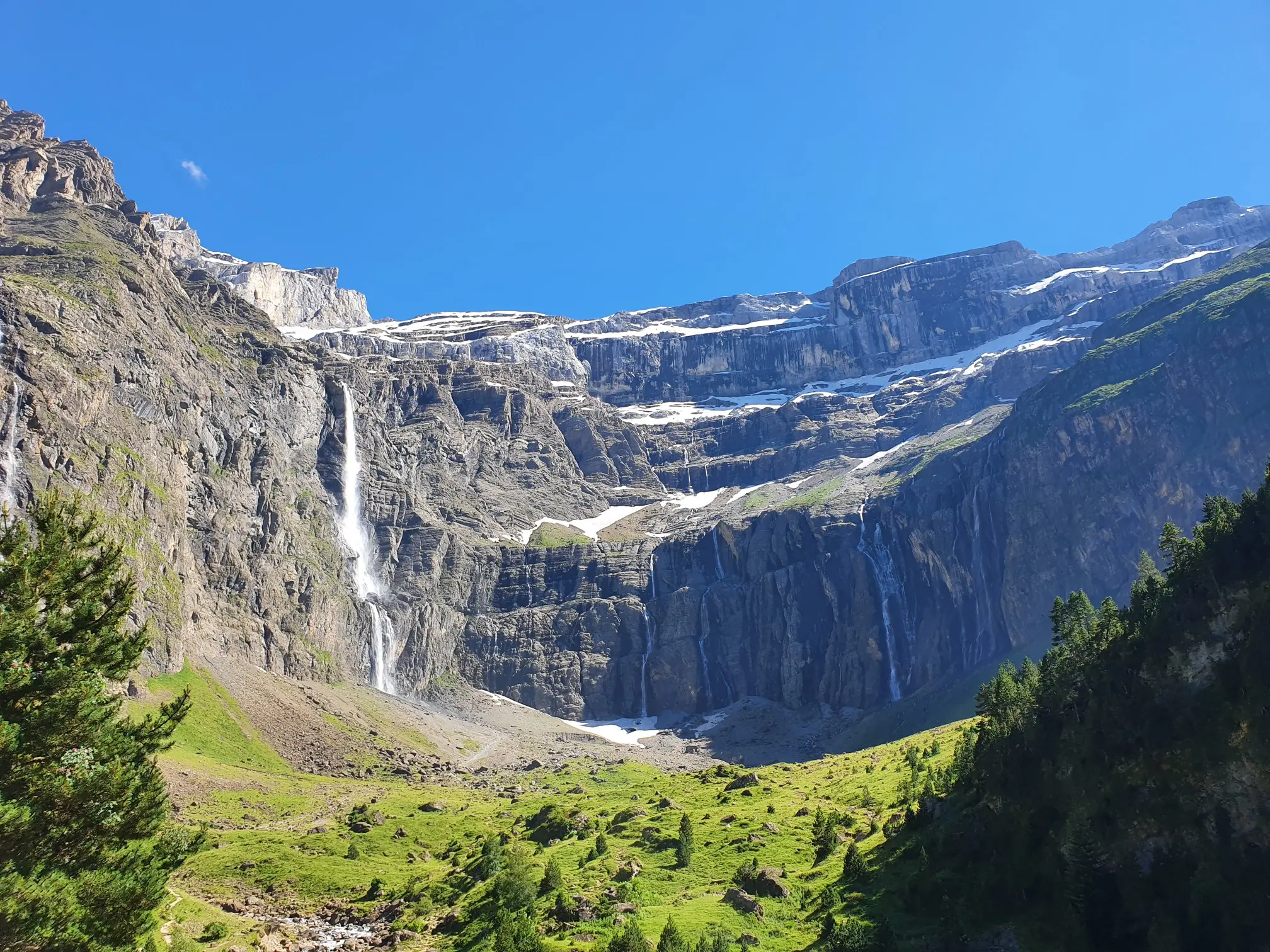
In the heart of the massif – the best hikes in the Central Pyrenees
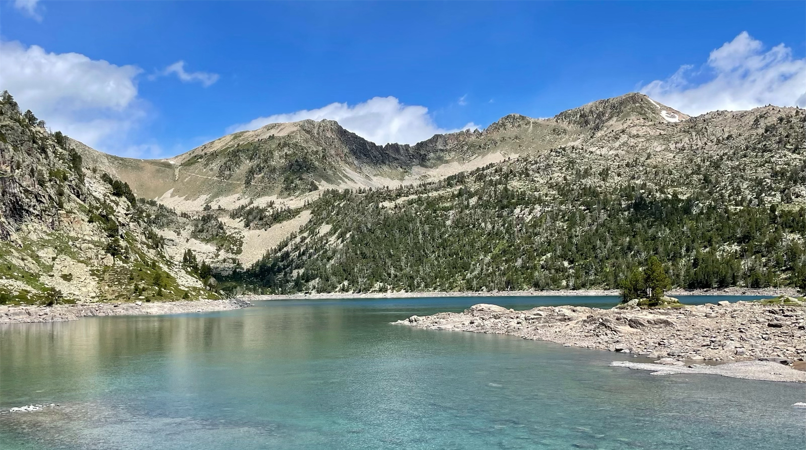
Spectacular landscapes and lakes – hiking in Néouvielle
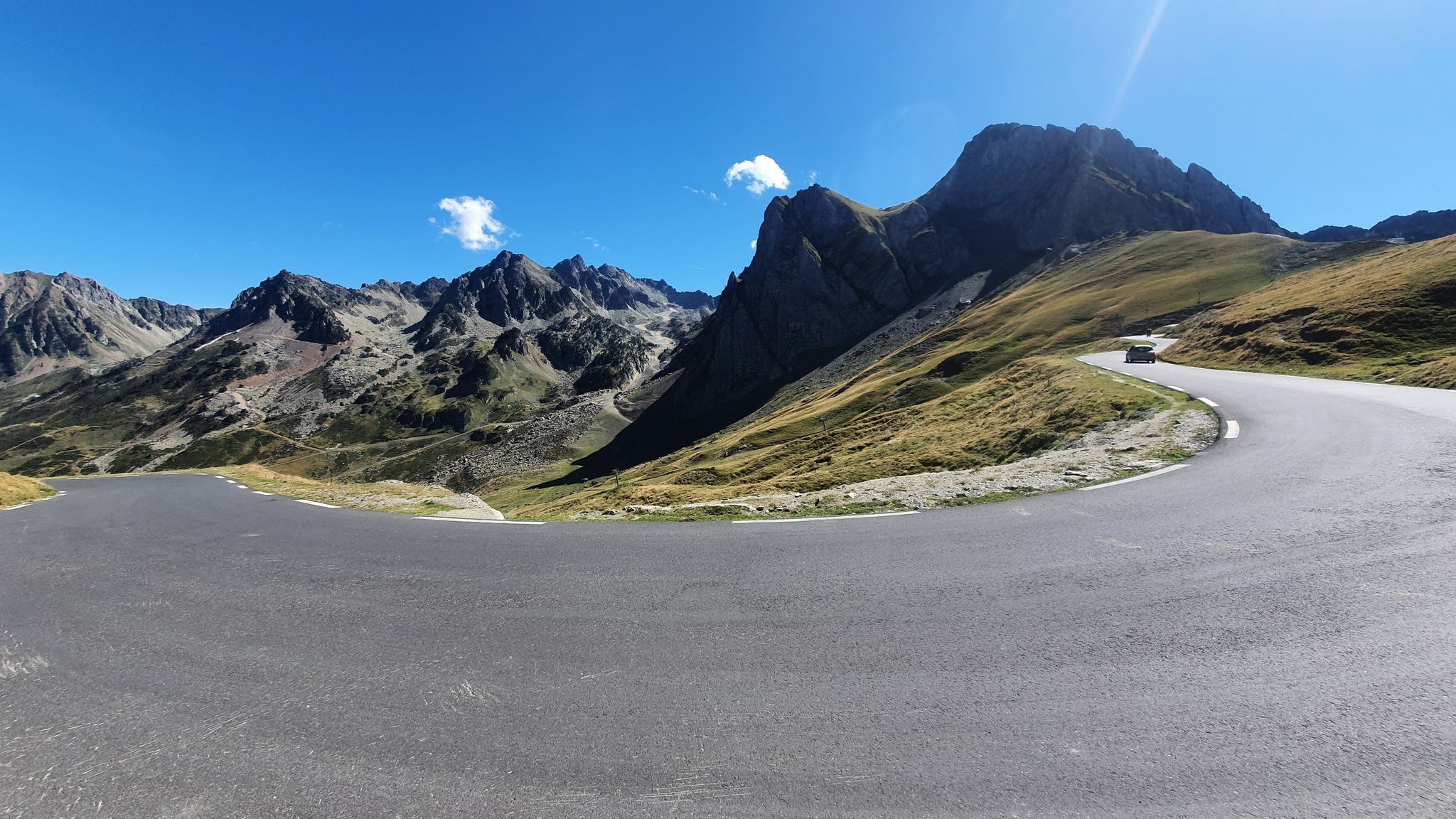
Glorious mountain passes – Central Pyrenees by road bike
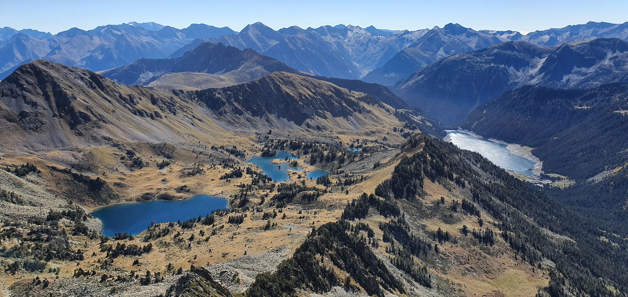
In the land of wonders — explore France’s Néouvielle lakes
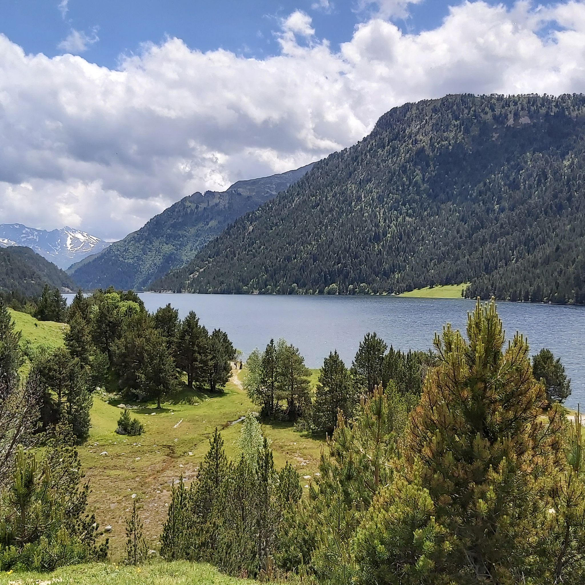
Hiking around Saint-Lary-Soulan
Road Cycling Routes around Saint-Lary-Soulan
Other adventures around Saint-Lary-Soulan


Tips from the Community

On the climb to Cap d'Long, a detour to this lake is highly recommended. The climb and the scenery above are even more beautiful than the first.
0
0

Magnificent lake with a path allowing you to admire it from all angles.
0
0
Large, welcoming refuge. An invigorating, cool shower during our stay. Very good meal and a great atmosphere in the evening. The caretaker was attentive. Maps, guidebooks, books, and board games are available in the common room.
1
0

Large car park at the foot of the Tourmalet, there is a bike park here and there are opportunities to walk to the Néouveille lakes.
0
0

The moment you leave the Añes cabin, the crossings begin and it is a nice walk.
0
0

Without a doubt, one of the most beautiful valleys in the Pyrenees, with spectacular views of Posets-Espadas.
0
0

The Viadós refuge is located at an altitude of 1,760 metres, in the Gistau valley, in the Sobrarbe region. It has a capacity for 70 people and has showers, hot water, a bar, food service and blankets. Only in the absence of the guard can an adjacent building be used as a free refuge.
2
0
Frequently Asked Questions
What kind of difficulty can I expect from mountaineering routes in Saint-Lary-Soulan?
The mountaineering routes around Saint-Lary-Soulan are primarily designed for experienced individuals. The region features significant elevation changes, rugged peaks, and high mountain passes, making most trails challenging. Out of 18 available routes, 12 are rated as difficult, and 6 are moderate. There are no easy mountaineering routes in this area.
Are there any challenging mountaineering routes for experienced climbers?
Yes, Saint-Lary-Soulan offers numerous challenging routes for experienced mountaineers. For instance, the Arbizon loop from Aulon is a difficult 10.3 km route with over 1300 meters of elevation gain, providing a demanding ascent. Another option is the Lac Dets Coubous – Col de Madamète loop from Tournaboup, an 17.8 km difficult path featuring high mountain passes and stunning alpine lakes.
How long do mountaineering routes near Saint-Lary-Soulan typically take to complete?
The duration of mountaineering routes in Saint-Lary-Soulan varies significantly based on distance, elevation, and individual pace. For example, the popular Néouvielle Peak loop from Réserve naturelle du Néouvielle, which is 8.0 km, typically takes around 5 hours. Longer routes like the Lac Dets Coubous – Col de Madamète loop from Tournaboup (17.8 km) can take upwards of 7-8 hours.
What is the best time of year for mountaineering in Saint-Lary-Soulan?
The best time for mountaineering in Saint-Lary-Soulan is generally from late spring to early autumn (June to September). During these months, the weather is more stable, snow has largely melted from higher elevations, and trails are more accessible. Always check local weather forecasts and trail conditions before heading out, as mountain weather can change rapidly.
What are the conditions like for winter mountaineering in Saint-Lary-Soulan?
Winter mountaineering in Saint-Lary-Soulan presents significant challenges due to heavy snowfall, icy conditions, and increased avalanche risk. Routes require specialized equipment such as ice axes, crampons, and often snowshoes, along with advanced navigation skills and experience in winter mountain environments. It is crucial to consult local mountain guides and avalanche bulletins before attempting any winter ascents.
Are the mountaineering routes around Saint-Lary-Soulan suitable for families with children?
Given the challenging nature of the terrain, with significant elevation changes and difficult ratings, most mountaineering routes around Saint-Lary-Soulan are not suitable for families with young children or those new to mountaineering. The region is primarily geared towards experienced hikers seeking demanding ascents and descents.
Can I bring my dog on the mountaineering routes near Saint-Lary-Soulan?
While many areas in the Pyrenees are dog-friendly, specific regulations may apply to national parks and nature reserves, such as the Réserve naturelle du Néouvielle, where dogs might be restricted or required to be on a leash. Always check the specific rules for each route and protected area before bringing your dog. The rugged terrain and long durations of these mountaineering routes also mean your dog should be fit and accustomed to such conditions.
Which mountaineering routes offer the most stunning views?
Many routes in Saint-Lary-Soulan boast stunning Pyrenean vistas. The Néouvielle Peak loop from Réserve naturelle du Néouvielle is renowned for its panoramic views of the Néouvielle massif. The Lac det Mail – Lac de la Glère loop from Barèges also offers breathtaking scenery as it leads through high mountain terrain and past glacial lakes.
Are there any circular mountaineering walks in Saint-Lary-Soulan?
Yes, several mountaineering routes in Saint-Lary-Soulan are circular, allowing you to start and end at the same point. Examples include the Néouvielle Peak loop from Réserve naturelle du Néouvielle, the Lac Dets Coubous – Col de Madamète loop from Tournaboup, and the Lac det Mail – Lac de la Glère loop from Barèges. These loops offer varied landscapes without retracing your steps.
What do other mountaineers enjoy the most about mountaineering in Saint-Lary-Soulan?
The mountaineering routes in Saint-Lary-Soulan are highly rated by the komoot community, with an average score of 4.8 stars from over 30 reviews. Reviewers often praise the challenging nature of the trails, the pristine alpine lakes, and the dramatic, rugged beauty of the high Pyrenean landscape. The sense of accomplishment after navigating the significant elevation changes is also frequently highlighted.
What interesting natural landmarks can I see along the mountaineering routes?
The region around Saint-Lary-Soulan is rich in natural beauty. Along various routes, you can encounter stunning alpine lakes such as Lake Orédon, Lac d'Aubert, and Les Laquettes. You might also traverse impressive mountain passes like Hourquette d'Ancizan or Col de Val Louron-Azet, offering expansive views of the surrounding peaks.
Most popular routes around Saint-Lary-Soulan
Most popular attractions around Saint-Lary-Soulan

Get inspired with the komoot mobile app


Explore more
Browse the best Mountain Hikes & Routes in other regions.
