The best running trails around Betpouey
4.3
(57)
5,048
runners
141
runs
Jogging routes around Betpouey traverse the scenic Hautes-Pyrénées region of France, characterized by its dramatic Pyrenean mountain range. The area features granite peaks, limestone formations, and extensive forests, offering diverse terrain for runners. Numerous mountain lakes and valleys, such as those found near the Néouvielle Nature Reserve, provide picturesque backdrops for running. This network of trails caters to various fitness levels, from gentle paths to challenging mountain ascents.
Best jogging routes around Betpouey
- The most popular jogging route is Barèges…
Last updated: August 28, 2026
16
runners
19.2km
03:09
1,080m
1,080m
Hard run. Very good fitness required. Sure-footedness, sturdy shoes and alpine experience required.
5.0
(1)
10
runners
7.21km
01:00
330m
330m
Hard run. Very good fitness required. Mostly paved surfaces. Suitable for all skill levels.

Sign up for free
22
runners
7.21km
00:53
240m
240m
Moderate run. Good fitness required. Mostly paved surfaces. Suitable for all skill levels.
15
runners
14.4km
02:44
1,130m
1,130m
Hard run. Very good fitness required. Sure-footedness, sturdy shoes and alpine experience required.
6
runners
6.95km
00:54
260m
260m
Moderate run. Good fitness required. Mostly paved surfaces. Suitable for all skill levels.
Get access to more routes and recommendations from other explorers.
Sign up for free
Already have an account?
Our route recommendations are based on thousands of hikes, rides, and runs completed by other people on komoot.
Start today with a free account
Your next adventure awaits.
Login or Signup


Tips from the Community


Large, welcoming refuge. An invigorating, cool shower during our stay. Very good meal and a great atmosphere in the evening. The caretaker was attentive. Maps, guidebooks, books, and board games are available in the common room.
1
0

Large car park at the foot of the Tourmalet, there is a bike park here and there are opportunities to walk to the Néouveille lakes.
0
0

Village halfway up the pass: a drinking water point to refill your water bottles: great!!
0
0
starting point to climb the Tourmalet from Luz-St-Sauveur
1
0

Town where you can settle down to do various bicycle routes and climb some of the mythical (and not so well-known) passes and Pyrenean peaks. Below I leave you a list: Tourmalet, Luz Ardiden, Cirque du Troumousse, Col des Tentes, Plateau de Saugué, Pont d'Espagne, Cambasque, Hautacam, Col des Borderes, Col de Soulor, Col d'Aubisque, Col des Spandelles.
0
0

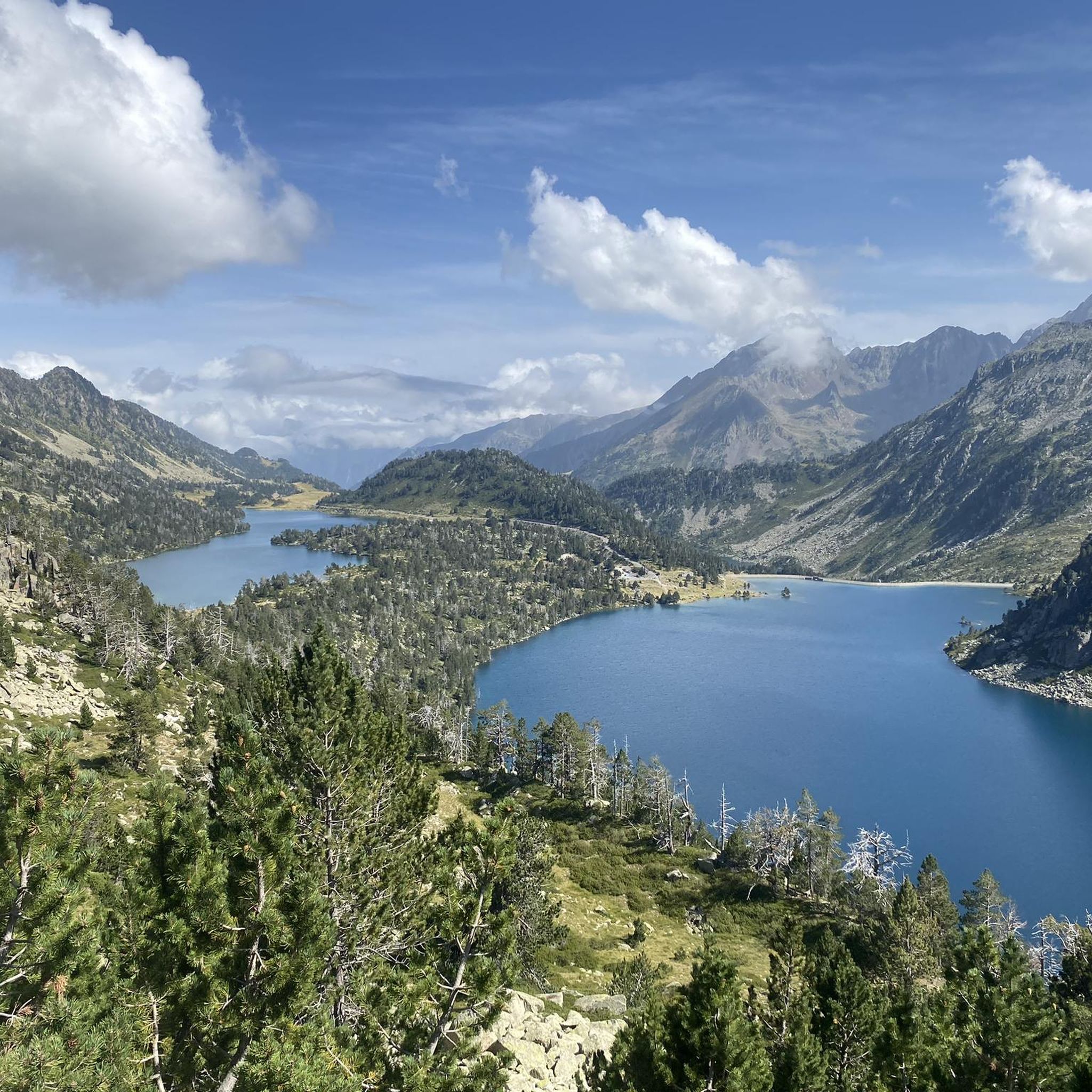
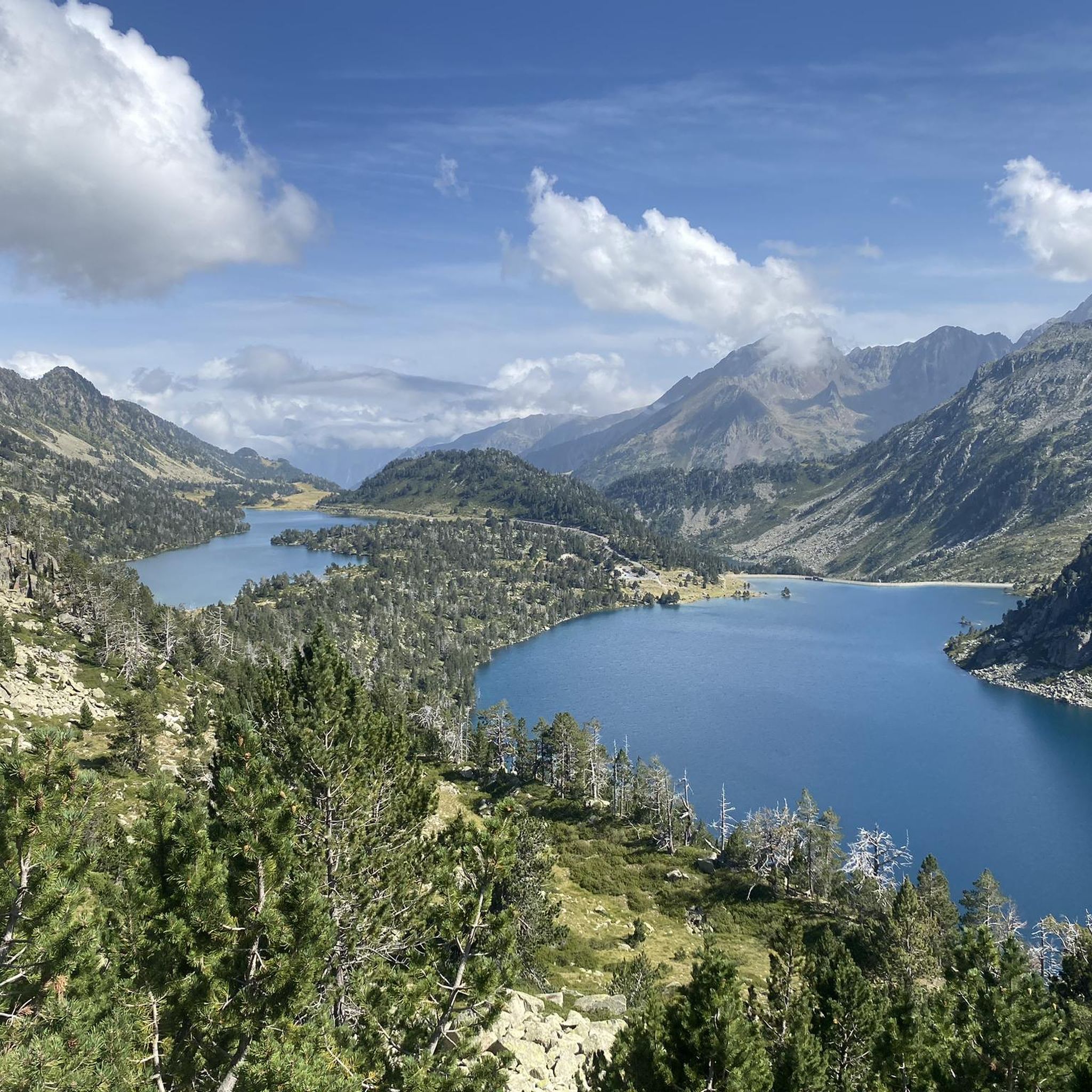
Superb view of the lake dominated in the distance by the Glère refuge.
1
0
The Glère refuge is located at the entrance to the Néouvielle reserve. Perched on its rocky outcrop, it is immersed in a spectacular setting. It welcomes you in a warm and comfortable atmosphere. More information here: https://refugedelaglere.ffcam.fr/.
1
2
Frequently Asked Questions
How many running routes are available around Betpouey?
There are over 145 running routes in the Betpouey area, offering a wide range of options for different fitness levels. You'll find everything from moderate forest paths to challenging mountain ascents.
Are there any easy or moderate jogging trails in Betpouey?
Yes, while many routes are challenging, there are 5 easy and 35 moderate running trails available. For a moderate option, consider the Tournaboup loop from Barèges, which covers about 6.7 km, or the Luz-Saint-Sauveur – Bastan River loop from Viey, a 6.9 km route along the river.
What kind of scenery can I expect on the running routes near Betpouey?
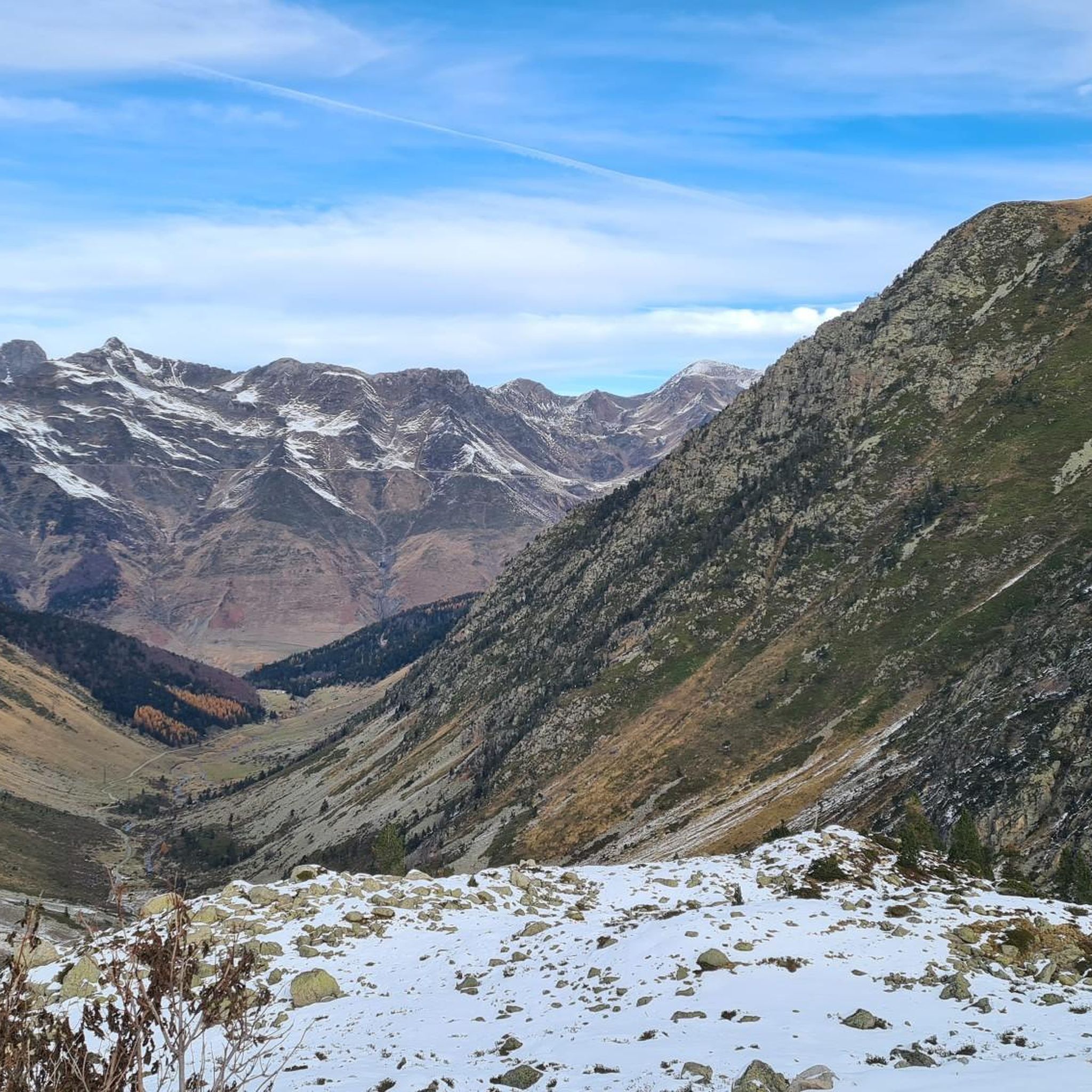
The running routes around Betpouey offer stunning Pyrenean landscapes, characterized by dramatic granite peaks, limestone formations, and extensive forests. You'll also encounter numerous mountain lakes and valleys, especially near the Néouvielle Nature Reserve, providing picturesque backdrops for your run.
Are there any circular running routes in the Betpouey area?
Many of the running routes in Betpouey are designed as loops. Popular circular options include the challenging Barèges Village loop from Barèges (10.4 km) and the moderate Tournaboup loop from Barèges (6.7 km).
What do other runners say about the trails in Betpouey?
The running trails in Betpouey are highly rated by the komoot community, with an average score of 4.3 stars from over 50 reviews. Runners often praise the diverse terrain, the breathtaking mountain scenery, and the variety of routes catering to different abilities.
Can I find running routes that pass by lakes or other natural attractions?
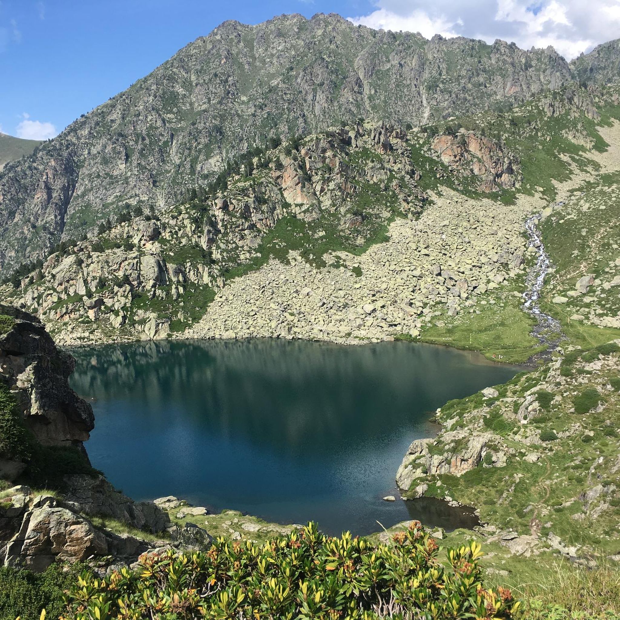
Absolutely. The region is rich in natural beauty. For example, the challenging Lake Glère – Glère Refuge loop from Barèges takes you through high mountain terrain past glacial lakes. You can also explore highlights like Lake Orédon, Lac d'Aubert, and Les Laquettes, which are popular points of interest in the area.
Are there any specific viewpoints or landmarks to look out for while running?
Yes, the mountainous terrain offers many scenic vistas. You might encounter landmarks such as Pic du Midi de Bigorre or enjoy expansive views from Luz-Ardiden. The dramatic Cirque de Gavarnie and Col du Tourmalet are also within reach, offering iconic backdrops.
What is the best time of year for running in Betpouey?
The Pyrenees region offers varied conditions. While specific details depend on altitude, generally spring through autumn provides the most favorable weather for running. Winter can bring snow, making some higher-altitude trails suitable only for experienced trail runners with appropriate gear.
Are there any permits required for running on trails in the Betpouey area, especially in the National Park?
Generally, permits are not required for running on marked trails in the Pyrenees National Park or the Néouvielle Nature Reserve for day use. However, it's always advisable to check local regulations, especially if planning to venture off marked paths or for overnight stays. Respecting wildlife and natural habitats is paramount.
Where can I find parking near the trailheads in Betpouey?
Parking availability varies by trailhead. In villages like Barèges or Esterre, where many routes begin, you can often find designated parking areas. For routes starting deeper in the mountains, smaller parking lots or roadside pull-offs may be available. It's recommended to check specific route details on komoot for parking information.
Are there options for running near rivers or waterways?
Yes, the region is home to several waterways. The Petite Baïse river flows through the commune, and routes like the moderate Luz-Saint-Sauveur – Bastan River loop from Viey offer pleasant running experiences alongside rivers.
What are the options for public transport to access running trails around Betpouey?
Public transport options in the mountainous Hautes-Pyrénées can be limited, but some bus services connect larger towns like Lourdes to smaller villages such as Barèges and Luz-Saint-Sauveur, which serve as starting points for many trails. Checking local bus schedules (e.g., bus 965) is recommended for accessing specific trailheads.
Most popular attractions around Betpouey

Get inspired with the komoot mobile app


Explore more
Browse the best Running Trails & Routes in other regions.
