The best road cycling routes around San-Giovanni-Di-Moriani
4.7
(157)
2,355
riders
71
rides
Road cycling around San-Giovanni-Di-Moriani, nestled in Corsica, offers diverse terrain for cyclists. The region is characterized by its "between sea and mountain" topography, with elevations ranging from 94 meters to 1280 meters. This provides varied landscapes, including lush hills, coastal areas, and mountainous routes. Forests cover 66% of the land, contributing to scenic routes with significant elevation gains.
Best road cycling routes around San-Giovanni-Di-Moriani
- The most popular road cycling route is San-Nicolao and Santa-Maria-Poggio Loop, a 12.0 miles (19.3…
Last updated: June 28, 2026
5.0
(1)
14
riders
19.3km
01:08
450m
450m
Moderate road ride. Good fitness required. Mostly well-paved surfaces and easy to ride.
5.0
(15)
236
riders
79.9km
04:27
1,760m
1,760m
Hard road ride. Very good fitness required. Mostly well-paved surfaces and easy to ride.

Sign up for free
4.7
(15)
219
riders
101km
05:40
2,140m
2,140m
Hard road ride. Very good fitness required. Some segments of this route may be unpaved and difficult to ride.
4.5
(4)
85
riders
71.6km
04:02
1,590m
1,590m
Hard road ride. Very good fitness required. Mostly well-paved surfaces and easy to ride.
4.5
(4)
89
riders
68.9km
03:27
1,120m
1,120m
Hard road ride. Very good fitness required. Mostly well-paved surfaces and easy to ride.
Get access to more routes and recommendations from other explorers.
Sign up for free
Already have an account?
Our route recommendations are based on thousands of hikes, rides, and runs completed by other people on komoot.
Start today with a free account
Your next adventure awaits.
Login or Signup
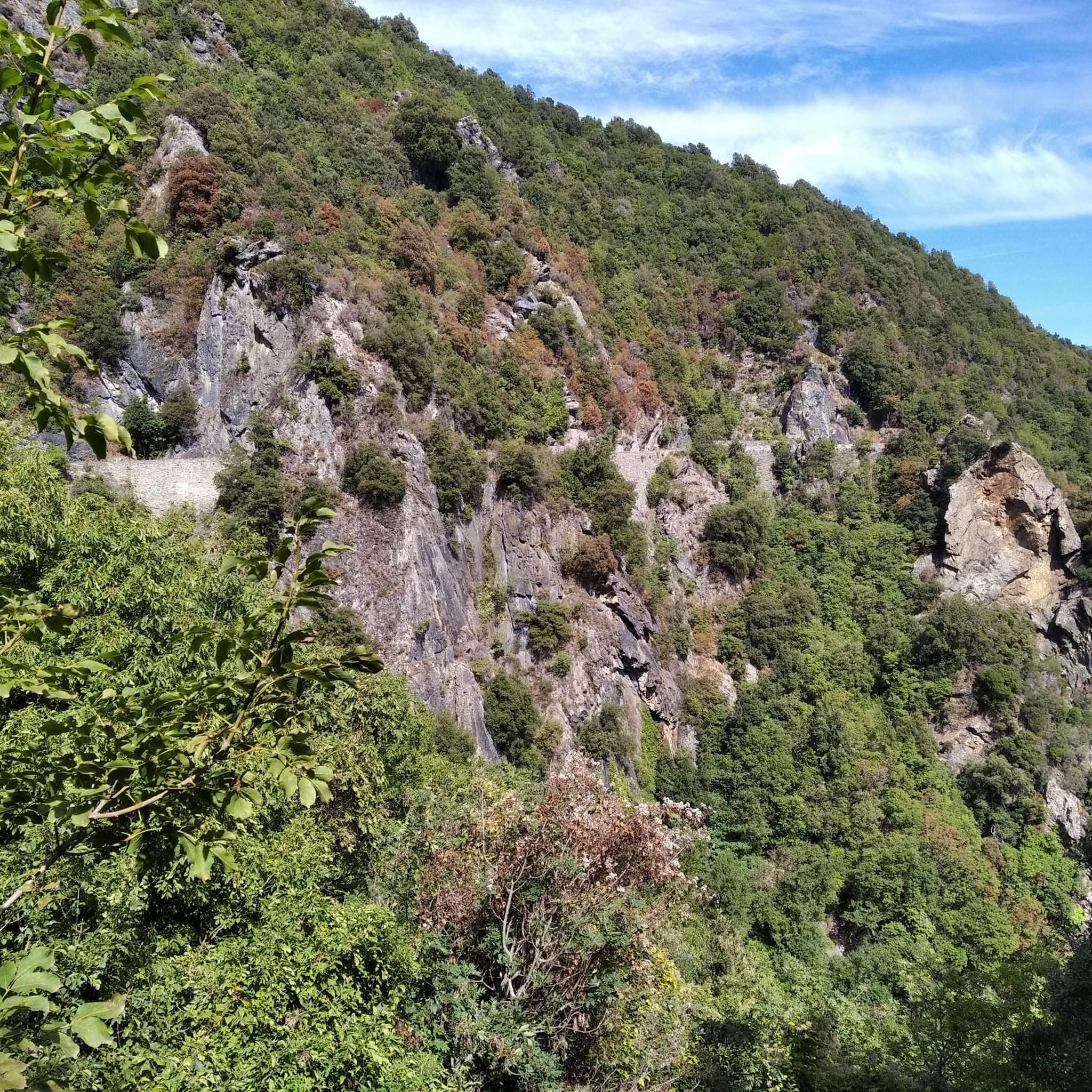
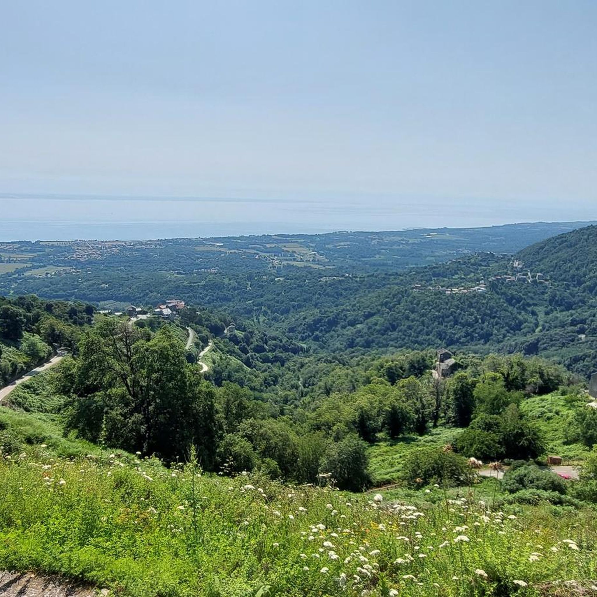
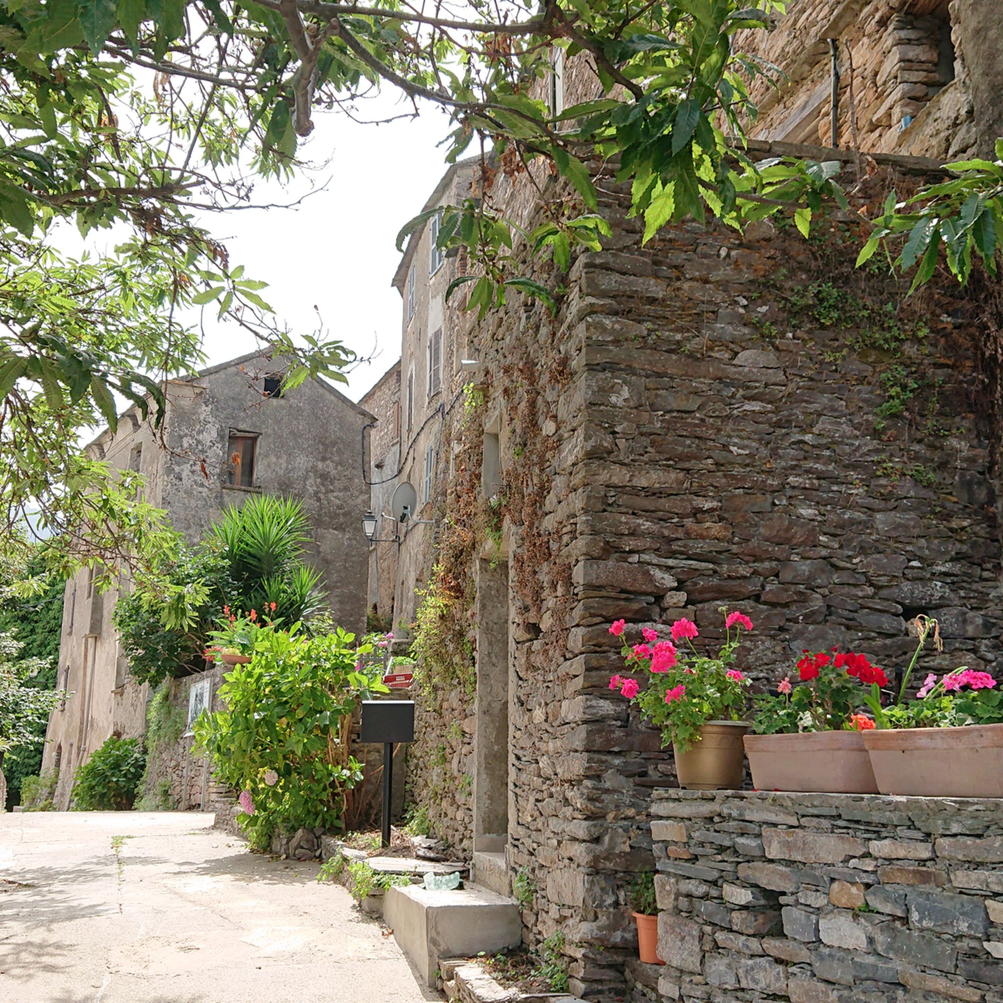
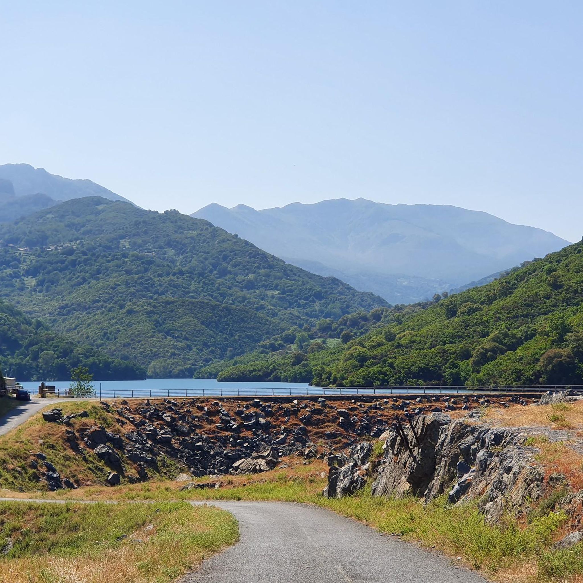
Tips from the Community


Main village of Ampugnani Café open all year round San Petrone (1767 m) the highest peak of Castagniccia dominates La Porta Beautiful hike 👍👍👍
0
0
Each time we met goats and sometimes pigs, cows, sheep, horses, …….. and even tourists 🤣🤣🤣🤣
0
0

You can either go up next to the bridge or go down diagonally opposite and swim if you want. There is a tunnel on the other side of the bridge.
2
1

Nice place to take a break right on the "tourist highway" on the way to the waterfall with a fantastic view of it.
0
0
Beautiful waterfall, as the main attraction with many tourists, but still worth a visit.
0
0

One of the many places in the area where you can find free-roaming goats.
0
0
Frequently Asked Questions
What kind of terrain can I expect when road cycling around San-Giovanni-Di-Moriani?
The region offers a diverse mix of terrain, characterized by its "between sea and mountain" topography. You'll encounter lush hills, coastal roads, and mountainous landscapes. Elevations can range significantly, providing varied challenges and scenic routes, with many featuring mostly paved surfaces suitable for road cycling.
How many road cycling routes are available in the San-Giovanni-Di-Moriani area?
There are over 60 road cycling routes around San-Giovanni-Di-Moriani. These routes cater to various skill levels, including 2 easy, 32 moderate, and 33 difficult options, ensuring there's a ride for every cyclist.
Are there any challenging road cycling routes with significant climbs?
Yes, San-Giovanni-Di-Moriani is known for its challenging climbs due to its mountainous nature. Routes like the Bocca d'Arcarotta – Struccia Waterfall loop from Velone-Orneto feature over 2,100 meters of elevation gain, while the Chiatra – Alesani Dam loop from Santa-Maria-Poggio includes over 1,700 meters of climbing through forested landscapes.
What natural features or landmarks can I see along the road cycling routes?
Many routes offer stunning natural features. You can cycle past beautiful waterfalls such as the Ucelluline Waterfall or the Struccia Waterfall. The region also boasts panoramic vistas of the Corsican landscape and the Tuscan archipelago, especially from higher elevations.
Are there any moderate road cycling routes suitable for a good workout without extreme difficulty?
Absolutely. Routes like the San-Nicolao and Santa-Maria-Poggio Loop offer varied terrain with coastal and inland views over 19 kilometers and around 450 meters of elevation gain, making it a great moderate option. Another moderate choice is the View of the Arcate aqueduct – Ucelluline Waterfall loop from Santa-Lucia-di-Moriani, which covers about 43 kilometers with over 800 meters of ascent.
What do other road cyclists think about the routes in San-Giovanni-Di-Moriani?
The road cycling routes in San-Giovanni-Di-Moriani are highly rated by the komoot community, with an average score of 4.7 stars from over 160 reviews. More than 2,400 road cyclists have explored the area using komoot, often praising the diverse terrain and scenic beauty.
Can I find routes that combine coastal views with inland exploration?
Yes, the region's "between sea and mountain" topography means many routes offer a blend of coastal and inland scenery. The San-Nicolao and Santa-Maria-Poggio Loop is a prime example, providing varied terrain with both coastal and inland views.
Are there any specific viewpoints or scenic spots accessible by road bike?
The mountainous nature of the region ensures numerous scenic viewpoints. The ancient Genoese Tower offers breathtaking coastal views, and the Chapel San Mamilianu, though requiring a short hike, provides expansive panoramic views of the plain and the Tuscan archipelago. Many routes naturally lead through areas with stunning vistas.
What is the best time of year for road cycling in San-Giovanni-Di-Moriani?
While specific seasonal conditions can vary, the diverse terrain of San-Giovanni-Di-Moriani, with its lush hills and coastal areas, generally offers pleasant cycling conditions during spring and autumn. Summers can be warm, especially on climbs, while winters might bring cooler temperatures to higher elevations.
Are there any circular road cycling routes in the area?
Yes, many of the routes around San-Giovanni-Di-Moriani are designed as loops, allowing you to start and finish in the same location. Examples include the San-Nicolao and Santa-Maria-Poggio Loop and the Chiatra – Alesani Dam loop from Santa-Maria-Poggio, providing convenient options for your ride.
What kind of elevation gains should I expect on road cycling routes here?
Due to the region's mountainous character, you should expect significant elevation gains. Even moderate routes can feature several hundred meters of climbing, while difficult routes, such as the Bocca d'Arcarotta – Struccia Waterfall loop from Velone-Orneto, can involve over 2,000 meters of ascent.
Most popular routes around San-Giovanni-Di-Moriani
Most popular attractions around San-Giovanni-Di-Moriani

Get inspired with the komoot mobile app


Explore more
Browse the best Road cycling routes in other regions.
