The best walks and hikes around San-Giovanni-Di-Moriani
4.5
(1527)
5,409
hikers
13
hikes
Hiking around San-Giovanni-Di-Moriani offers diverse landscapes, characterized by mountainous terrain and extensive trails. The region features lush forests, including shady beech, chestnut, and pine woods, providing varied environments for exploration. Hikers can discover picturesque waterfalls and enjoy panoramic views of the Corsican landscape, including distant islands on clear days. The area provides a mix of challenging mountainous routes and more gentle, family-friendly paths.
Best hiking trails around San-Giovanni-Di-Moriani
- The most popular hiking route is Beautiful bathing spot – Fiuminal loop from San-Giovanni-di-Moriani, a 3.9 miles (6.3 km) trail that takes 2 hours 15 minutes to complete. This moderate route includes a refreshing bathing spot.
- Another top favourite among local hikers is San Mamilianu Chapel – Agitosa Water Spring loop from San-Giovanni-di-Moriani, a moderate 5.6 miles (9.0 km) path. This trail leads through varied terrain, passing historical sites and natural springs.
- Local hikers also love the San Mamilianu Chapel loop from San-Giovanni-di-Moriani, a 2.7 miles (4.3 km) trail leading through forested areas and past the historic chapel, often completed in about 1 hour 38 minutes.
- Hiking around San-Giovanni-Di-Moriani is defined by mountainous trails, dense forests, and scenic waterfalls. The network offers options for easy, moderate, and difficult routes, catering to different ability levels.
- The routes in San-Giovanni-Di-Moriani are highly rated by the komoot community with an average score of 4.5 stars from over 1400 reviews. More than 5000 hikers have used komoot to explore San-Giovanni-Di-Moriani's varied terrain.
Last updated: July 9, 2026
4.8
(78)
352
hikers
5.17km
01:43
250m
250m
Easy hike. Great for any fitness level. Easily-accessible paths. Suitable for all skill levels.
4.7
(66)
190
hikers
9.05km
02:56
380m
380m
Moderate hike. Good fitness required. Easily-accessible paths. Suitable for all skill levels.

Sign up for free
4.9
(15)
68
hikers
4.36km
01:38
290m
300m
Easy hike. Great for any fitness level. Easily-accessible paths. Suitable for all skill levels.
4.5
(2)
12
hikers
15.3km
06:02
1,030m
1,030m
Hard hike. Very good fitness required. Mostly accessible paths. Sure-footedness required.
4.7
(3)
13
hikers
7.20km
02:04
180m
180m
Moderate hike. Good fitness required. Easily-accessible paths. Suitable for all skill levels.
Get access to more routes and recommendations from other explorers.
Sign up for free
Already have an account?
Our route recommendations are based on thousands of hikes, rides, and runs completed by other people on komoot.
Start today with a free account
Your next adventure awaits.
Login or Signup
Tips from the Community

Always go through life with your eyes open, and you will find many beautiful, little miracles!
0
0

Fiuminale is an abandoned village since the 80s, and it consists of two hamlets: Fiuminale Sottano and Fiuminale Soprano. It is a place out of time, suspended between present and past, earth and sky.
0
0
Fiuminale is a village abandoned since the 80s. There is no access road, so you have to go up the river from the bridge of hell in the municipality of Velone Orneto. The small chapel of St. Joseph was restored in 2012.
1
0

When we pass through in 2024, an inn offers catering using local products, including cheese donuts!!!
1
0

I can only confirm, super nice, even if the water is a bit fresh
0
1

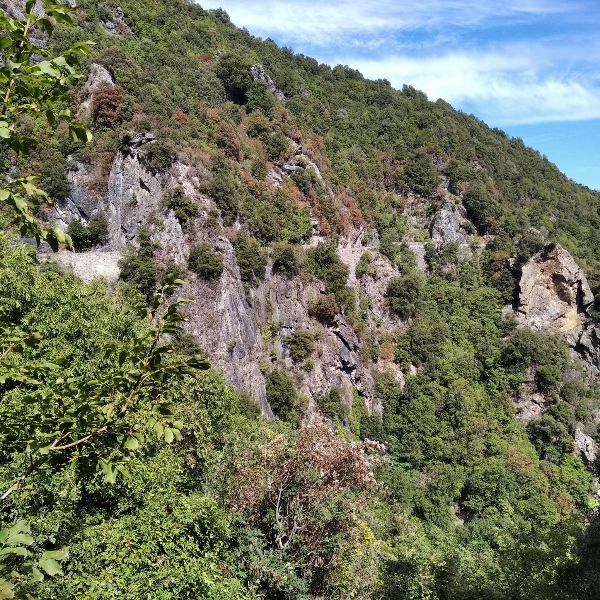
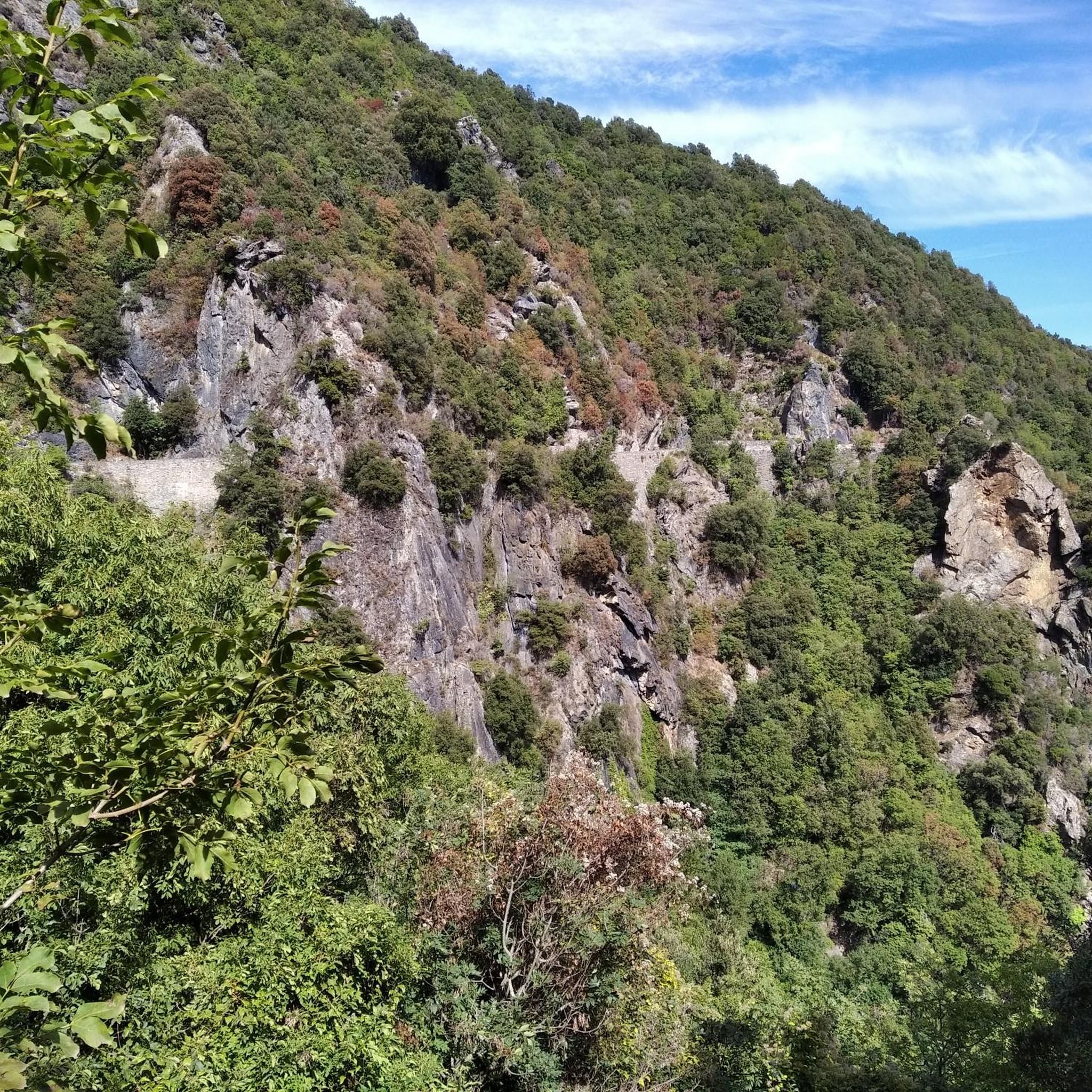
There are many burnt trees here, creating a whimsical atmosphere. New green plants are growing again, which supports this atmosphere. I've never seen anything like this and who knows how long it will be around.(08/23)
0
0
Unfortunately closed but on the left are a few stone benches to pause in the midday sun shade.
0
0
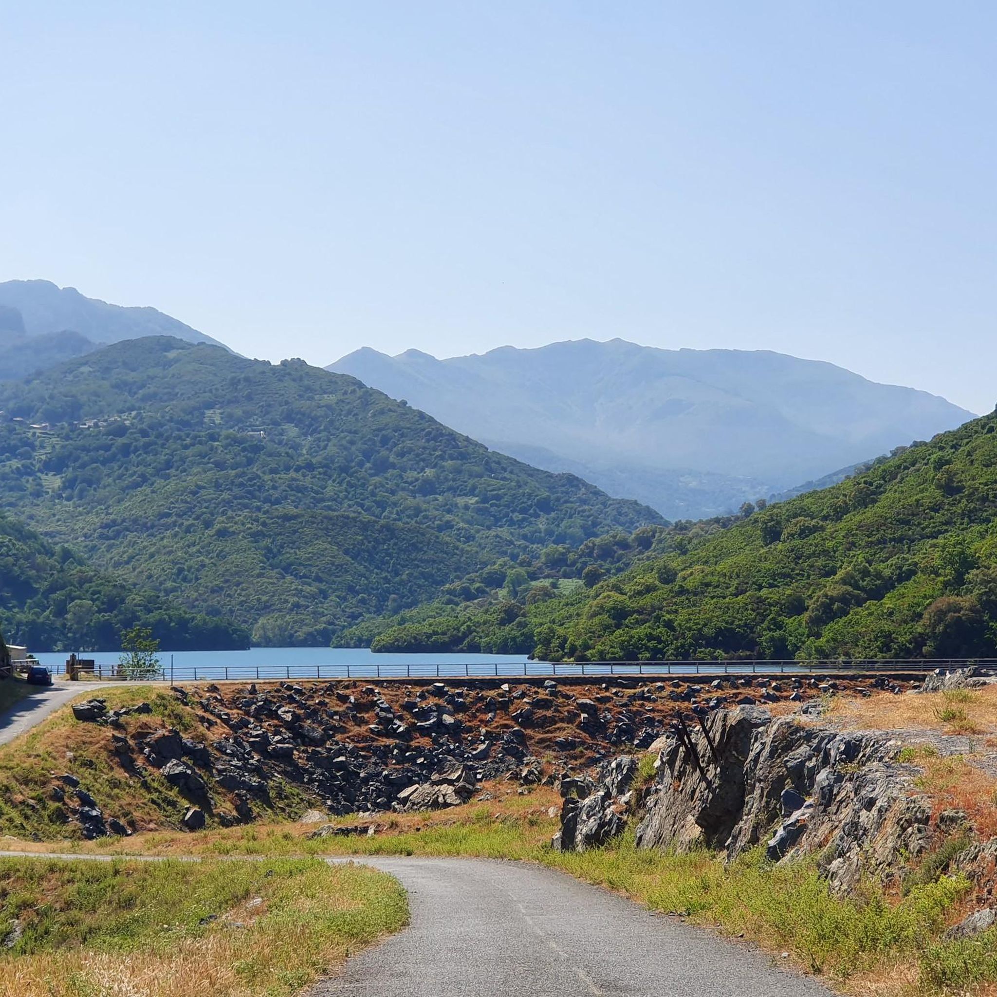
Nice way to take a break. Not really suitable for swimming and at 2 p.m. the rest area is in full sun.
1
0
Frequently Asked Questions
How many hiking trails are available in San-Giovanni-Di-Moriani?
San-Giovanni-Di-Moriani offers a diverse network of over 14 hiking trails. These routes cater to various skill levels, including easy, moderate, and difficult options, ensuring there's something for every hiker.
What do other hikers enjoy most about the trails in San-Giovanni-Di-Moriani?
The hiking trails in San-Giovanni-Di-Moriani are highly rated by the komoot community, with an average score of 4.5 stars from over 1400 reviews. Hikers often praise the diverse landscapes, from shady forests to mountainous terrain, and the rewarding panoramic views. The presence of picturesque waterfalls and historical sites also adds to the appeal.
Are there any trails with waterfalls in San-Giovanni-Di-Moriani?
Yes, the region is known for its beautiful waterfalls. You can explore trails that lead to the Bucatoggio Waterfall and the Ucelluline Waterfall. The Cascata di Santa-Maria is also a refreshing spot, and the Manganello Valley features clear swimming pools along its hiking paths.
Can I find family-friendly hiking options in San-Giovanni-Di-Moriani?
Absolutely. Many trails wind through lush, shady forests, making them pleasant for families. The Sentier Botanique is specifically highlighted as an easy, family-friendly circular route that offers beautiful sea views and often passes through shaded areas.
Are there any circular hiking routes available?
Yes, several circular routes are popular in the area. For example, the Beautiful bathing spot – Fiuminal loop from San-Giovanni-di-Moriani is a moderate circular trail. Another option is the San Mamilianu Chapel – Agitosa Water Spring loop from San-Giovanni-di-Moriani, which combines historical sites with natural springs.
Which trails offer the best panoramic views?
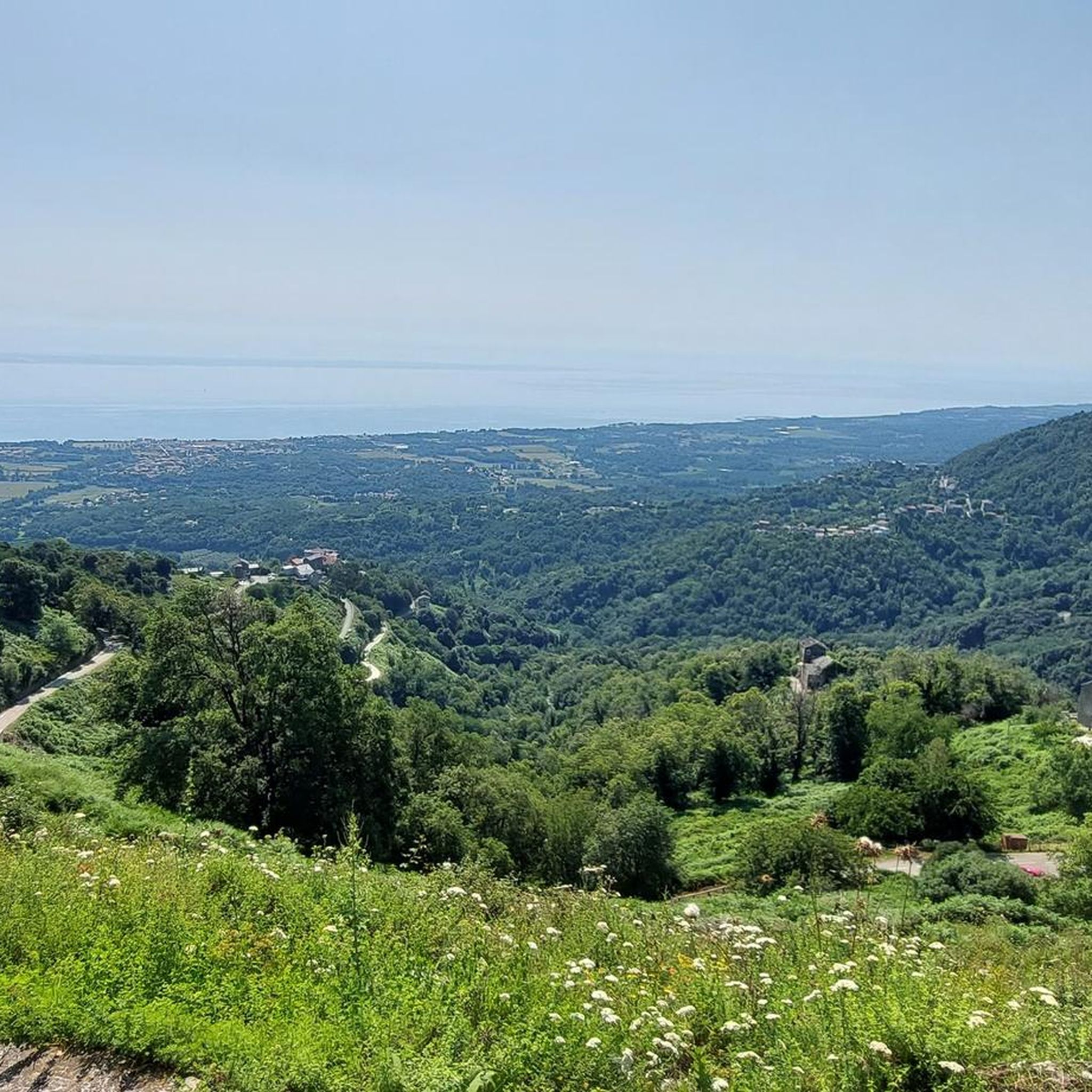
For breathtaking panoramic views, consider trails leading to Monte San Petrone, the highest mountain in the Castagniccia region, where you can see nearly all of Corsica's 2000-meter peaks and even distant islands on clear days. The Ancient Genoese Tower also provides superb coastal views, ideal for a morning or sunset hike. The Crêtes et sommets de Santa-Reparata-di-Moriani offers superb viewpoints over the Costa Verde and surrounding valleys.
Are there historical landmarks or cultural sites to explore while hiking?
Yes, San-Giovanni-Di-Moriani is rich in history. You can integrate visits to the Ancient Genoese Tower into your hike for coastal views. The village itself features numerous historical churches and chapels, such as the impressive San Ghjuvanni church and the 10th-century Romanesque chapel of San Mamilianu, which is accessible on foot.
Are there opportunities for swimming or bathing along the hiking trails?
Yes, some trails offer refreshing bathing spots. The Beautiful bathing spot – Fiuminal loop from San-Giovanni-di-Moriani is specifically named for its refreshing stop. Additionally, the Cascata di Santa-Maria is a popular spot for swimming, and the Manganello Valley features clear natural swimming pools.
What kind of terrain can I expect on hikes in San-Giovanni-Di-Moriani?
The region is characterized by diverse terrain. You'll find challenging mountainous trails with significant elevation changes, as well as paths winding through lush, shady beech, chestnut, and pine forests. Some routes also feature varied vegetation and pass through hamlets.
Are there any challenging hiking trails for experienced hikers?
Yes, for experienced hikers seeking a challenge, the region offers difficult routes. The Fiuminal – San Bartolomeu Chapel loop from San-Giovanni-di-Moriani is a difficult 15.3 km trail with over 1000 meters of elevation gain, providing a rewarding experience.
Is San-Giovanni-Di-Moriani suitable for dog-friendly hiking?
While specific dog regulations can vary, many natural trails in Corsica are generally accessible for dogs on a leash. It's always advisable to check local signage or specific park rules, especially in protected areas, and ensure your dog is well-behaved and doesn't disturb wildlife or other hikers.
What is the best time of year to go hiking in San-Giovanni-Di-Moriani?
The region's diverse landscapes, including shady forests, make it enjoyable for hiking across multiple seasons. Spring and autumn generally offer pleasant temperatures for exploring. Even in warmer months, the presence of dense, shady woods provides comfortable conditions on many trails.
Most popular routes around San-Giovanni-Di-Moriani
Most popular attractions around San-Giovanni-Di-Moriani

Get inspired with the komoot mobile app


Explore more
Browse the best Hikes in other regions.
