Top 13 Mountain Passes around Villelongue
Best mountain passes around Villelongue France are found in two distinct regions: Villelongue-dels-Monts in the Pyrénées-Orientales and Villelongue in the Hautes-Pyrénées. The Pyrénées-Orientales region offers passes in the Albères massif, characterized by historical sites and panoramic views of the Mediterranean coast. In the Hautes-Pyrénées, passes are situated near the Hautacam mountain within the Pyrénées National Park, providing access to high-altitude terrain and alpine lakes. Both areas feature diverse landscapes for exploration.
Best mountain passes around Villelongue
- The most popular mountain…
Last updated: May 13, 2026
Luz-Ardiden
Highlight • Viewpoint
Translated by Google •
Tip by

Voie Fignon
Highlight (Segment) • Trail
Translated by Google •
Tip by

Sign up now to discover places like this
Get recommendations on the best single tracks, peaks, & plenty of other exciting outdoor places.
Sign up for free
Ascent of the Col de Tentes from Luz-Saint-Sauveur via the Cirque de Gavarnie
Highlight (Segment) • Mountain Pass
Translated by Google •
Tip by

Ascent of Col du Tourmalet from Luz-Saint-Sauveur via Super Barèges
Highlight (Segment) • Climb
Translated by Google •
Tip by

Riou Pass
Highlight • Mountain Pass
Tour to the highlight: komoot.de/tour/340539708?ref=itd
Translated by Google •
Tip by

Sign up for free to discover even more mountain passes around Villelongue.
Sign up for free
Already have an account?
Start today with a free account
Your next adventure awaits.
Login or Signup
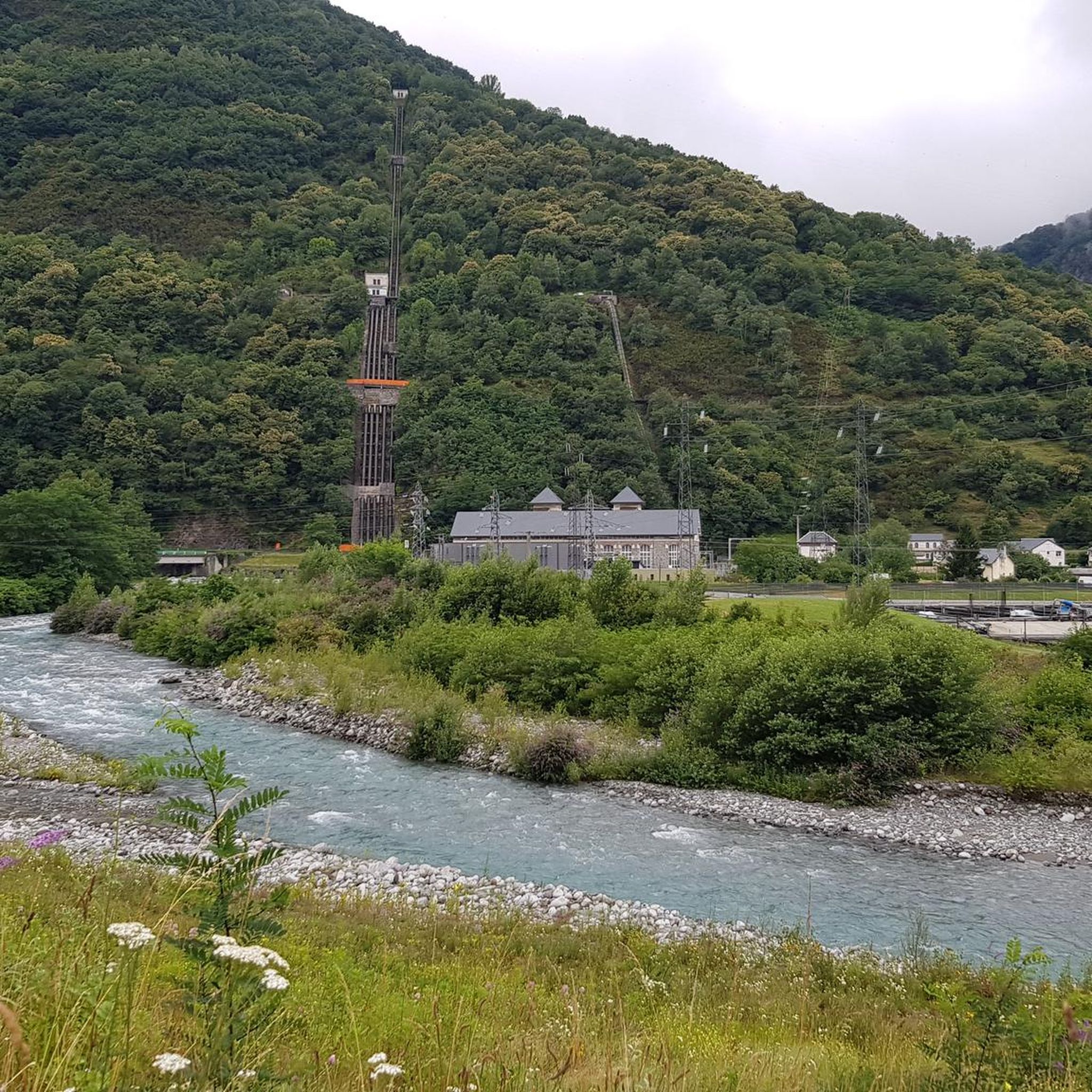
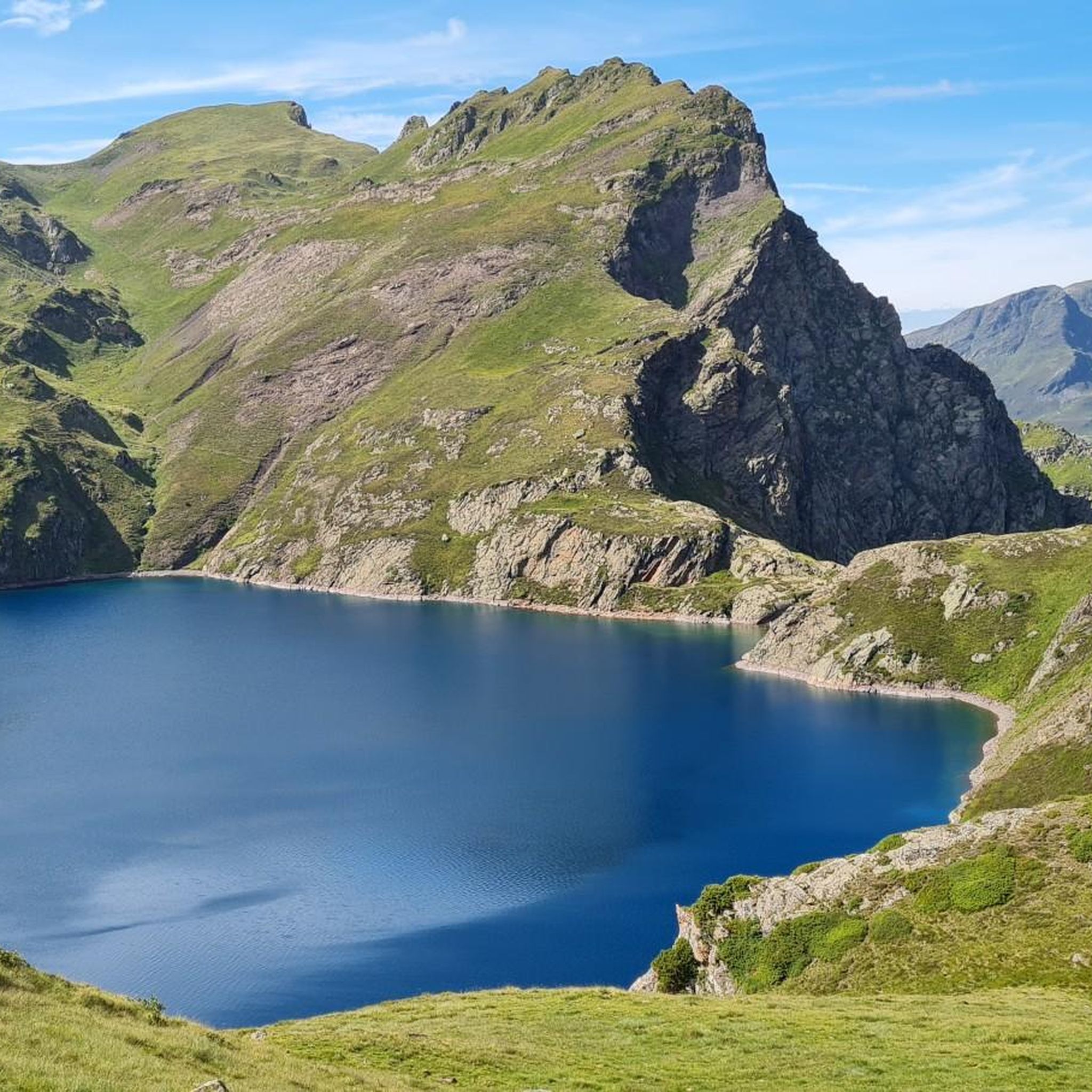
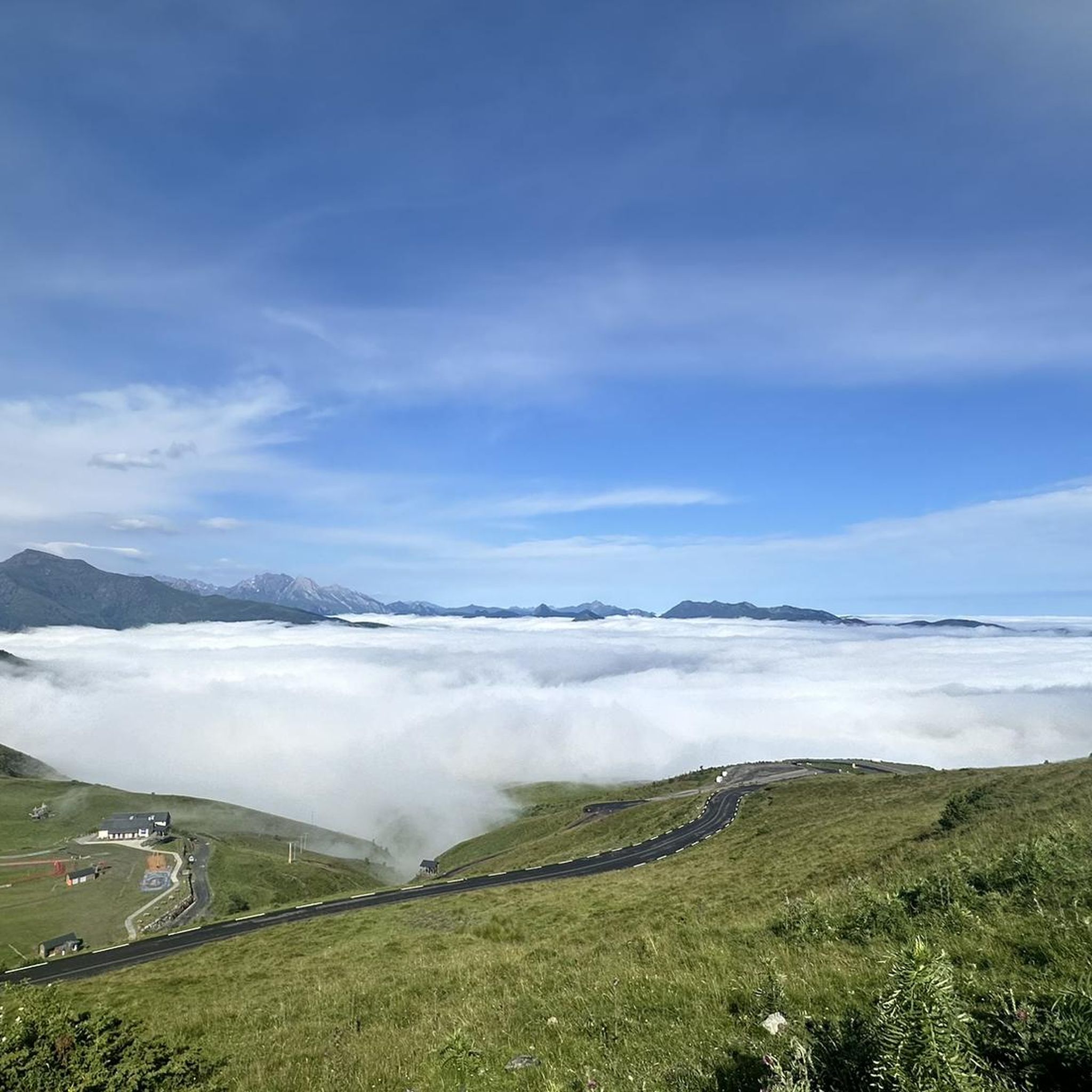
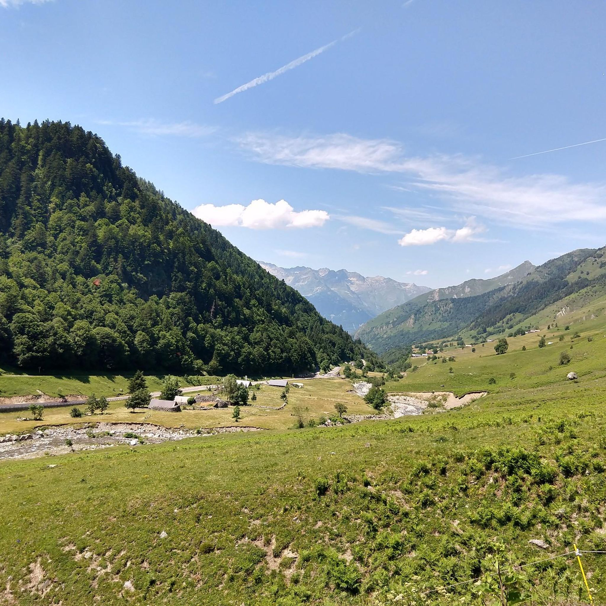


Tips from the Community

Very poorly maintained road (stones, dung, etc.) but without any cars. A good alternative for a quiet climb, definitely to be avoided on the descent.
0
0

The road is reserved for bicycles and pedestrians, it's really pleasant, especially with everything else being full of cars... it's a nice break, plus the view is magnificent, we really appreciate it!
0
0

A beautiful, quiet pass. Easily accessible by mountain bike from Bederet. The trail from here to Cauterets is a dream. A must-do if you're in the area!
0
0

No cars, no motorcycles. This section of the Tourmalet is very pleasant. The surface is a little rough, but passable.
0
0

For the first 20 kilometers, the climb is gentle, crossing the picturesque landscapes of the Gavarnie cirque. Then once you reach the town of Gavarnie, the real climb begins, with much steeper gradients that can exceed 10%, reaching an altitude of 2,200 meters.
1
0

Very worth seeing, you have to see it
0
1

Uncleaned road, lots of stones and gravel + dirt. Possibly take it on the way up if you are fed up with cars on the main road, but otherwise stay on the main road. On the way down, there is no question: don't take this road!
1
0
a r z e Z we E 2.z eee ze ESeew s3 zeBBC un 😚🥒🇸🇸 r Zheng MR of E and .zevgr enxdW Rex E. An Z
0
2
Frequently Asked Questions
What are the key differences between mountain passes near Villelongue-dels-Monts and Villelongue (Hautes-Pyrénées)?
Mountain passes near Villelongue-dels-Monts (Pyrénées-Orientales) are typically found in the Albères massif, offering historical sites and panoramic views of the Mediterranean coast. In contrast, passes near Villelongue (Hautes-Pyrénées) are situated closer to the Hautacam mountain within the Pyrénées National Park, providing access to high-altitude terrain and alpine lakes.
Are there any mountain passes with significant historical importance?
Yes, Col de Panissars near Villelongue-dels-Monts is a historical crossroads that linked the plains of Roussillon and Empordà since prehistoric times. It features an archaeological site with remains of the Pompey Trophy and a medieval priory. Another historically significant pass is Coll de Llinàs, which was a site of decisive combat during the Roussillon War in 1794.
Which mountain passes offer the best panoramic views?
For stunning vistas, consider Col de l'Ouillat, which provides splendid views of the Mediterranean coast, the Roussillon plain, and the Canigou mountain. Coll de Llinàs also rewards hikers with magnificent 360° panoramic views after a challenging climb. In the Hautes-Pyrénées, Col de Madamète offers breathtaking high-alpine scenery of the Néouvielle massif and Pic du Midi.
Are there any family-friendly or accessible mountain passes?
Yes, Col de l'Ouillat near Villelongue-dels-Monts is known for its ease of access, featuring an accessible trail for people with reduced mobility, picnic tables, and a chalet refuge. It's a great option for families looking to enjoy nature and views in a tranquil setting.
What kind of outdoor activities can I do near these mountain passes?
The region offers a wide range of outdoor activities. For challenging mountain hikes, you can explore routes like the Lac Dets Coubous – Col de Madamète loop. Cyclists can tackle demanding routes such as the Gave de Pau River – Tourmalet Pass loop. There are also various running trails, including the Stage 3: Soulom to Luz-Saint-Sauveur — Grand Raid des Pyrénées. You can find more details on these activities in the Mountain Hikes around Villelongue, Road Cycling Routes around Villelongue, and Running Trails around Villelongue guides.
Which mountain passes are recommended for experienced hikers seeking a challenge?
Experienced hikers will find the Luz-Ardiden viewpoint a challenging climb, covering 14.7 kilometers with an average gradient of 6.87%. Col de Madamète, a pedestrian pass at 2,508 meters, also offers demanding hikes with steep climbs over rocky slopes, leading to high-alpine scenery and numerous lakes.
Are there any mountain passes known for their natural beauty and unique flora?
Yes, Col de l'Ouillat is characterized by its majestic laricio pine forest, including some sequoias. The area around Col de Madamète and the Néouvielle reserve is known for its wildflower meadows and lunar-like ridges, while the Lac Dets Coubous and Lac de la Glère loop showcases a vast granitic glacial plateau with numerous lakes.
What are some popular cycling climbs in the region?
The region is famous for its challenging cycling climbs. The Ascent of Col du Tourmalet from Luz-Saint-Sauveur via Super Barèges is a must-do, known for its scenic and challenging western ascent. Another notable climb is the Ascent of the Col de Tentes from Luz-Saint-Sauveur via the Cirque de Gavarnie, which features a long, demanding climb with steep gradients in its latter half.
Can I find loop trails that include mountain passes?
Yes, the Hautes-Pyrénées region offers several loop trails. The Lac d'Ourrec Loop, which includes ascents to cols like Bareilles, provides diverse landscapes including picturesque lakes and waterfalls. Another option is the Lac Dets Coubous and Lac de la Glère Loop, offering a rich high-mountain experience with multiple lakes and alpine terrain.
What do visitors appreciate most about the mountain passes around Villelongue?
Visitors frequently praise the challenging climbs and the rewarding, breathtaking views from the summits. The historical significance of certain passes, the diverse natural landscapes ranging from forests to high-alpine lakes, and the opportunities for various outdoor activities like hiking and cycling are also highly appreciated.
Are there any mountain passes that connect different valleys?
Yes, Riou Pass, culminating at 1,946 meters, serves as a direct connection between the valleys of Luz-Saint-Sauveur and Cauterets via the GR10, offering superb views of both.
What kind of wildlife might I encounter near the high-altitude passes?
In the high-alpine areas, particularly around Col de Madamète and the Néouvielle reserve, you might have the chance to spot local wildlife such as marmots and golden eagles, adding to the natural experience of the Pyrenees.
Most popular routes around Villelongue
Most popular attractions around Villelongue

Get inspired with the komoot mobile app


Explore more
See even more epic mountain passes by checking out these guides around Villelongue:
