The best mountain hikes around Villelongue
4.6
(24)
133
hikers
17
hikes
Mountaineering routes around Villelongue are situated where the Pyrenees Mountains meet the Mediterranean, offering a diverse range of landscapes. The region is characterized by the foothills of the Albères massif, part of the Pyrenees, with elevations reaching over 1000 meters. Its terrain varies from bucolic settings to mountainous areas, with significant forest coverage and the Tech river bordering the north. This varied environment provides a range of challenges for mountaineers.
Best mountaineering routes around Villelongue
- The most popular mountaineering route…
Last updated: May 11, 2026
14
hikers
16.6km
05:44
850m
850m
Hard mountaineering route. Very good fitness required. Mostly accessible paths. Sure-footedness required.
12
hikers
15.1km
06:02
1,140m
1,140m
Hard mountaineering route. Very good fitness required. Easily-accessible paths. Suitable for all skill levels.

Sign up for free
5.0
(3)
6
hikers
8.69km
03:51
580m
580m
Moderate mountaineering route. Good fitness required. Mostly accessible paths. Sure-footedness required.
4.7
(3)
11
hikers
11.9km
04:26
790m
790m
Moderate mountaineering route. Good fitness required. Easily-accessible paths. Suitable for all skill levels.
5.0
(1)
7
hikers
9.54km
06:17
1,140m
1,140m
Hard mountaineering route. Very good fitness required. Sure-footedness, sturdy shoes and alpine experience required.
Get access to more routes and recommendations from other explorers.
Sign up for free
Already have an account?
Our route recommendations are based on thousands of hikes, rides, and runs completed by other people on komoot.
Start today with a free account
Your next adventure awaits.
Login or Signup

Tips from the Community

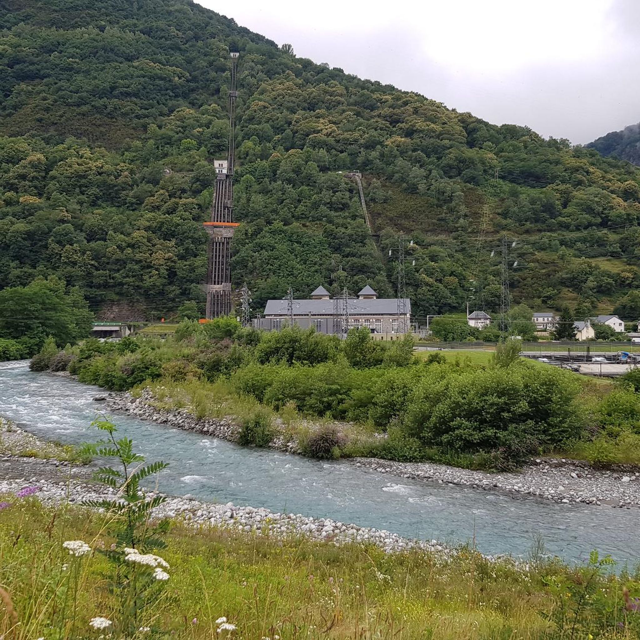
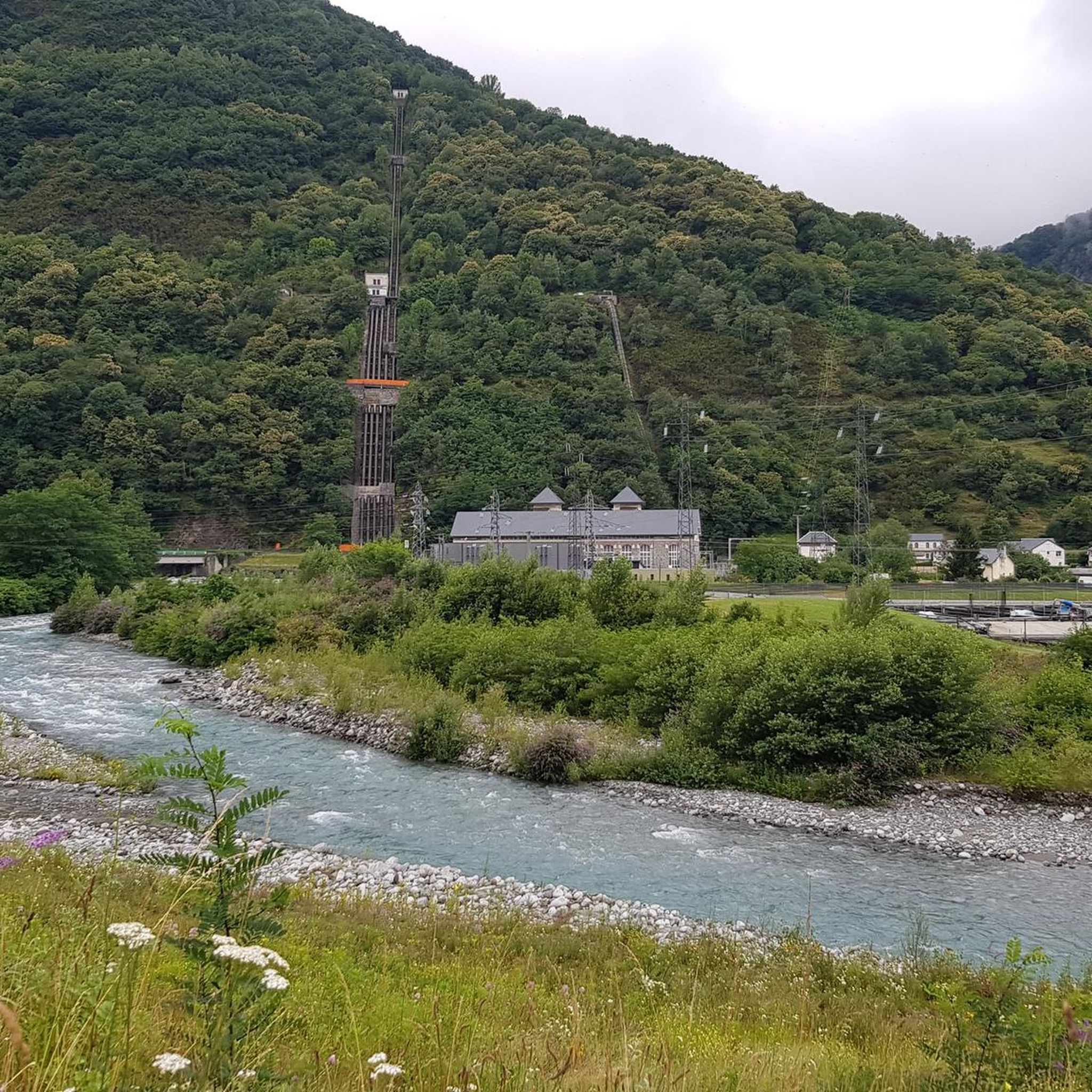
For your information, historically this was the arrival station for the cable car. It operated until the installation of the television and radio relay. After a storm, it's not uncommon for the relay to go into standby mode. TDF has a contract that runs from Monday to Friday. In case of a power outage, the weekend is reserved for reading or playing board games.
0
0

Large, welcoming refuge. An invigorating, cool shower during our stay. Very good meal and a great atmosphere in the evening. The caretaker was attentive. Maps, guidebooks, books, and board games are available in the common room.
1
0

Large car park at the foot of the Tourmalet, there is a bike park here and there are opportunities to walk to the Néouveille lakes.
0
0


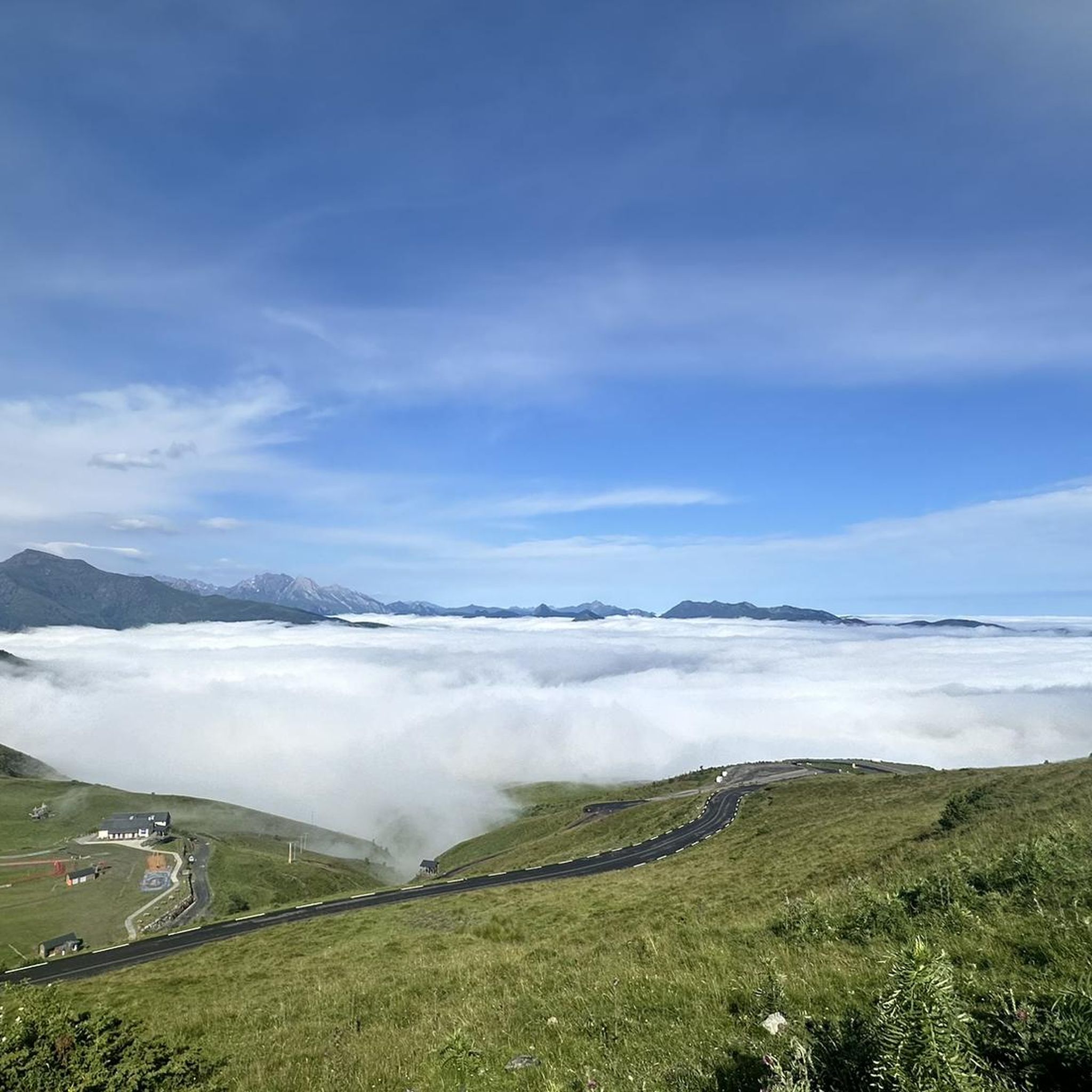
Magnificent view over the plain and the Gaves valley. On the other hand, it is not an old luxury hotel at the top, but the old cable car station. There is indeed a project to transform it into a shelter, but the funding is not forthcoming.
1
0

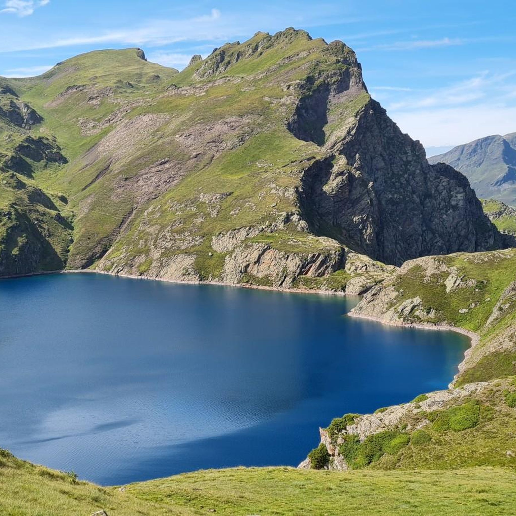
Superb view of the lake dominated in the distance by the Glère refuge.
1
0
The Glère refuge is located at the entrance to the Néouvielle reserve. Perched on its rocky outcrop, it is immersed in a spectacular setting. It welcomes you in a warm and comfortable atmosphere. More information here: https://refugedelaglere.ffcam.fr/.
1
2
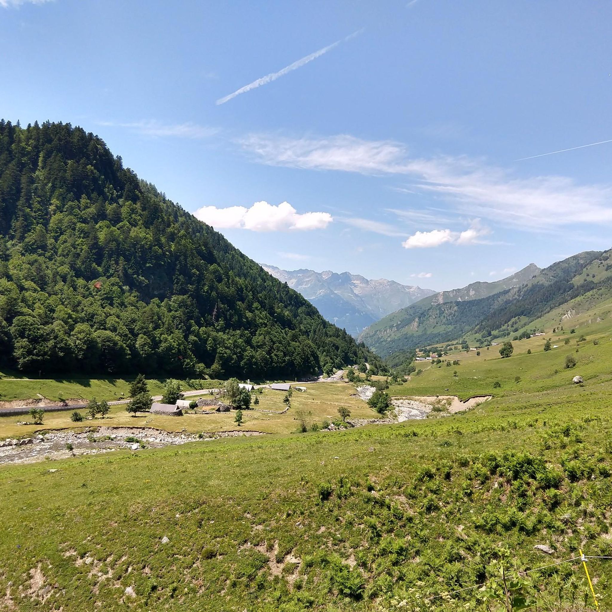
The Gaubie valley includes the Gaubie and Pountou bridges. It houses the ruins of the Gaubie cabins and leads to the Aygues Cluses plateau and its refuge.
1
0
Frequently Asked Questions
What types of mountaineering routes can I find around Villelongue?
Villelongue, nestled where the Pyrenees meet the Mediterranean, offers a diverse range of mountaineering routes. You'll find paths varying from moderate to difficult, traversing the foothills of the Albères massif and leading into the higher Pyrenees. The terrain includes forested areas, bucolic settings, and challenging ascents with significant elevation gains.
Are there any easy mountaineering routes suitable for beginners in Villelongue?
While many routes in the Villelongue area are rated as difficult, there are moderate options available. For instance, the Lac Dets Coubous – Cabanes de La Gaubie loop from Tournaboup is a moderate 10.4 km route that takes around 4 hours 31 minutes, offering a good introduction to the region's mountain terrain without extreme difficulty.
What are some challenging mountaineering trails around Villelongue?
For experienced mountaineers seeking a challenge, Villelongue offers several difficult routes. The Lac Dets Coubous – Col de Madamète loop from Tournaboup is a demanding 17.8 km trail with over 1100 meters of elevation gain, typically taking around 7 hours 45 minutes. Another option is the Lac d'Ourrec loop from Le Chiroulet, a 15.3 km route with similar elevation, often completed in about 6 hours 5 minutes.
Are there any circular mountaineering routes in the Villelongue area?
Yes, several mountaineering routes around Villelongue are designed as loops, allowing you to start and finish in the same location. Examples include the difficult Lac det Mail – Lac de la Glère loop from Barèges, which explores high-altitude lakes, and the moderate Lac Dets Coubous – Cabanes de La Gaubie loop from Tournaboup.
What can I expect to see in terms of natural monuments or landmarks along these routes?
The mountaineering routes around Villelongue offer stunning natural beauty. You might encounter picturesque lakes such as Lac Dets Coubous, Lake Isaby, or Lac d'Estagnol. Summits like Mount de Gez and Cabaliros Peak also provide exceptional panoramic views of the Pyrenees and the Mediterranean coastline.
What is the best season for mountaineering near Villelongue?
The region's diverse landscape, from the Albères massif to the higher Pyrenees, means conditions can vary. Generally, late spring through early autumn offers the most favorable weather for mountaineering, with accessible trails and pleasant temperatures. However, the Pyrenees can experience snow at higher elevations even in shoulder seasons, so always check local conditions before heading out. Winter offers opportunities for snow sports in nearby resorts.
What do other mountaineers say about the routes in Villelongue?
The mountaineering routes around Villelongue are highly regarded by the komoot community, holding an average rating of 4.7 stars from over 30 reviews. Mountaineers often praise the diverse terrain, from forested paths to challenging ascents, and the expansive mountain views, especially those reaching towards the Mediterranean Sea.
Are there any less crowded mountaineering routes around Villelongue?
While specific crowd levels can vary, exploring routes that are slightly off the main popular paths or undertaking longer, more challenging tours can often lead to a more solitary experience. Consider routes like the Gaubie Valley – Lac Dets Coubous loop from Tournaboup, which offers a substantial challenge and a chance to immerse yourself in the natural surroundings.
What kind of wildlife might I spot while mountaineering in Villelongue?
The Albères massif, part of the Pyrenees, is rich in biodiversity. While mountaineering, you might spot Mediterranean tortoises, wild boars, and a wide variety of bird species, with over 250 different types recorded in the area. The diverse landscapes, including forests and lakes, provide habitats for various animals.
How many mountaineering routes are available in Villelongue?
There are over 15 mountaineering routes documented around Villelongue, offering a range of experiences. These include 9 moderate and 10 difficult trails, catering to different skill levels and preferences.
Are there any huts or refuges along the mountaineering routes for breaks or overnight stays?
Yes, there are several huts and refuges in the vicinity that can serve as resting points or overnight accommodations. Notable options include the Glère Refuge, Old Stone Cottage, Cabane du Mont Turon, and Clairière d'Ayzi Refuge. These can be valuable resources, especially on longer tours.
Most popular routes around Villelongue
Most popular attractions around Villelongue

Get inspired with the komoot mobile app


Explore more
Browse the best Mountain Hikes & Routes in other regions.
