The best road cycling routes around Sant'Andréa-Di-Cotone
4.7
(136)
1,829
riders
51
rides
Road cycling routes around Sant'Andréa-Di-Cotone traverse the diverse topography of the Haute-Corse department in Corsica, ranging in altitude from 56 to 1046 meters. The region is characterized by winding departmental roads like the D71 and D52, which offer a mix of ascents and descents through quiet, forested areas and chestnut groves. Cyclists can experience panoramic views of the eastern plain and the Tuscan archipelago, with the Barrage de l'Alesani providing a notable natural feature to the south. This varied terrain…
Last updated: June 28, 2026
5.0
(3)
32
riders
43.5km
02:40
1,150m
1,150m
Hard road ride. Very good fitness required. Mostly well-paved surfaces and easy to ride.
5.0
(15)
236
riders
79.9km
04:27
1,760m
1,760m
Hard road ride. Very good fitness required. Mostly well-paved surfaces and easy to ride.

Sign up for free
4.5
(4)
85
riders
71.6km
04:02
1,590m
1,590m
Hard road ride. Very good fitness required. Mostly well-paved surfaces and easy to ride.
5.0
(4)
87
riders
66.4km
03:43
1,410m
1,400m
Hard road ride. Very good fitness required. Mostly well-paved surfaces and easy to ride.
4.3
(6)
63
riders
50.0km
02:41
970m
970m
Hard road ride. Very good fitness required. Mostly well-paved surfaces and easy to ride.
Get access to more routes and recommendations from other explorers.
Sign up for free
Already have an account?
Our route recommendations are based on thousands of hikes, rides, and runs completed by other people on komoot.
Start today with a free account
Your next adventure awaits.
Login or Signup
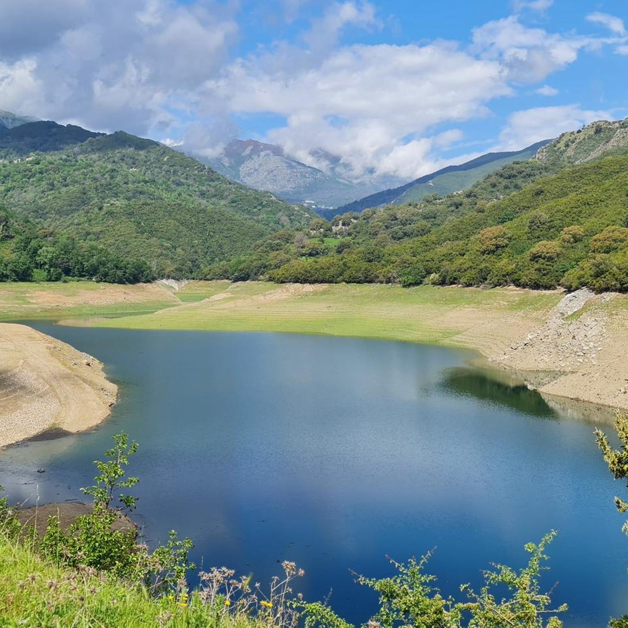
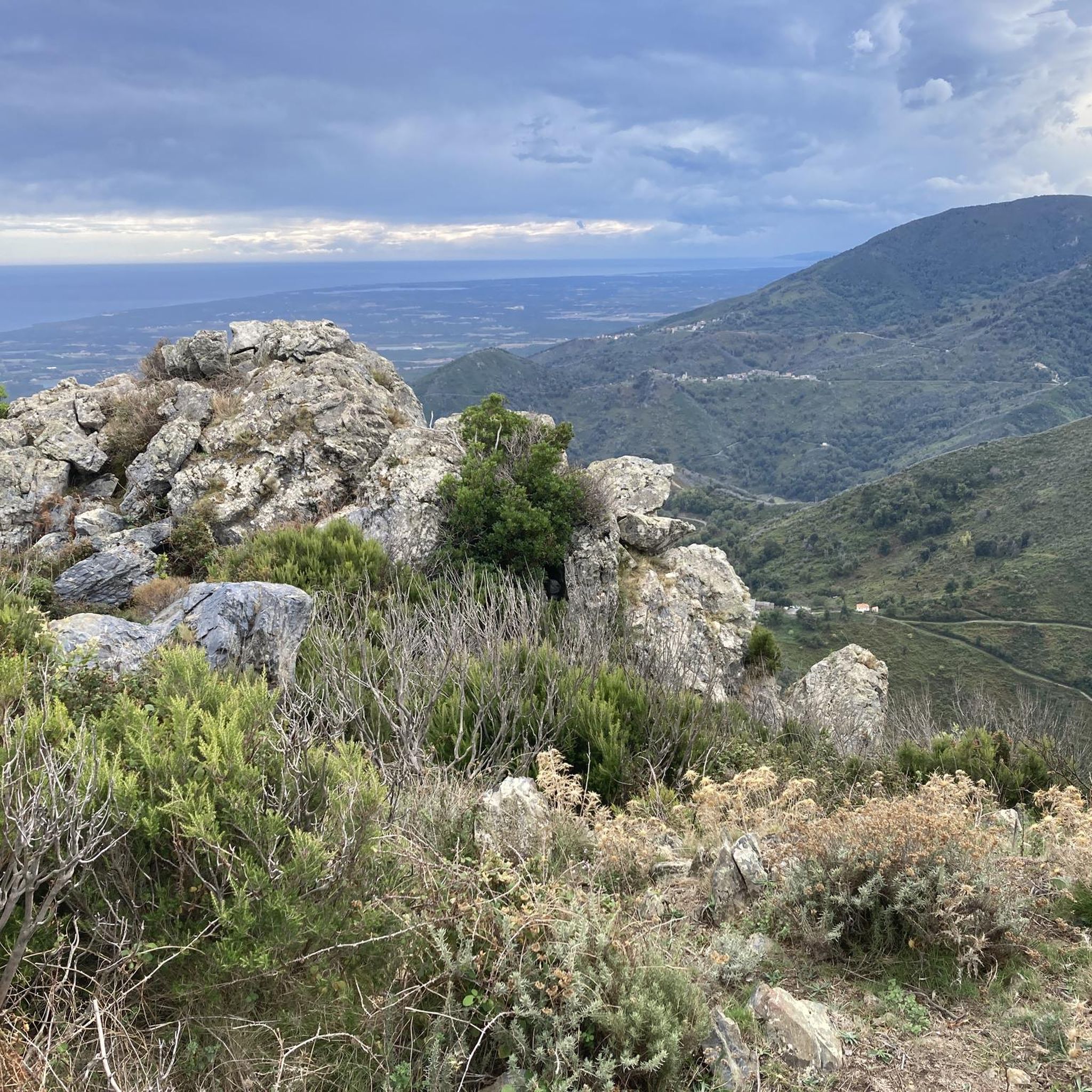
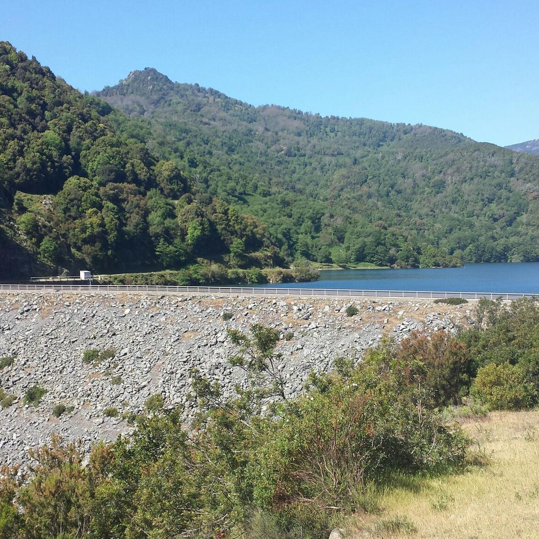
Tips from the Community


Each time we met goats and sometimes pigs, cows, sheep, horses, …….. and even tourists 🤣🤣🤣🤣
0
0

Wonderful view. Still nice in the shade in the morning. Wonderful ascent, not particularly recommended as descent as the road surface is not in very good condition
0
0

One of the many places in the area where you can find free-roaming goats.
0
0
Great gem with wonderful views. The track has its steeper moments, but that's not too bad. The surface isn't always the best either, but it's not dramatic with a tire width of more than 25 mm. Definitely go there because there is almost no traffic and it is really impressive.
0
0
Cervione is also worthwhile because of its good restaurants in the town center but in any case because of the really beautiful view.
0
0

Slightly steep approach!
0
0

This detour is definitely worth it. The max. 20% should not be a problem for experienced mountain bikers.
0
0
Frequently Asked Questions
What kind of terrain can I expect on road cycling routes around Sant'Andréa-Di-Cotone?
The region offers diverse topography, with routes traversing altitudes from 56 to 1046 meters. You'll encounter winding departmental roads like the D71 and D52, featuring a mix of ascents and descents through quiet, forested areas and vast chestnut groves. The climbs typically range from 3-6% gradient, providing a satisfying challenge for riders.
Are there any easy road cycling routes for beginners in Sant'Andréa-Di-Cotone?
Road cycling around Sant'Andréa-Di-Cotone is primarily defined by moderate to difficult ability levels. There are no routes specifically categorized as 'easy' in this area, with 25 moderate and 27 difficult routes available. The terrain is generally challenging, suited for riders with some experience.
What are some of the longer road cycling routes available?
For those seeking longer rides, the Bocca d'Arcarotta – View of the Arcate aqueduct loop from Santa-Maria-Poggio is a significant option, covering approximately 160 kilometers. Another extensive route is the Campi – Switchbacks among oaks and cork trees loop from Cervione, which is about 89 kilometers long.
What natural features or landmarks can I see along the road cycling routes?
Many routes offer panoramic views of the eastern plain, stretching from Moriani to Aléria, and on clear days, you might even see the Tuscan archipelago. The region is also known for its vast chestnut forests. To the south, the Barrage de l'Alesani creates a serene body of water, and you can explore nearby natural highlights such as the Bucatoggio Waterfall or the Ucelluline Waterfall.
What is the best time of year for road cycling in Sant'Andréa-Di-Cotone?
The temperate climate in the lower parts of the commune makes it suitable for outdoor activities throughout much of the year. Spring and autumn generally offer pleasant temperatures for cycling, avoiding the peak heat of summer while still enjoying good weather.
Are there any circular road cycling routes?
Yes, many routes in the area are designed as loops. Examples include the Castagniccia Villages Loop, which takes you through the heart of the Castagniccia region, and the Chiatra – Alesani Dam loop from Santa-Maria-Poggio, offering extensive climbing and views around the dam.
What do other road cyclists enjoy most about road cycling in Sant'Andréa-Di-Cotone?
The area is highly rated by the komoot community, with an average score of 4.6 stars from over 165 reviews. Cyclists often praise the challenging yet scenic roads, the quiet forested areas, and the breathtaking panoramic views that extend to the sea and even the Italian coast on clear days.
How many road cycling routes are there in Sant'Andréa-Di-Cotone?
There are over 50 road cycling routes available around Sant'Andréa-Di-Cotone, offering a wide range of options for cyclists looking to explore the diverse Corsican landscape.
Can I find routes that pass through traditional villages?
Absolutely. The Castagniccia region, where Sant'Andréa-Di-Cotone is located, is renowned for its traditional villages and rich rural scenery. Cycling through this area allows for exploration of its natural beauty, old chapels, and charming hamlets like Cotone, Chigliacci, and Ciglio, each with its own chapel.
What kind of elevation gain should I expect on these routes?
The routes in Sant'Andréa-Di-Cotone feature significant elevation gains, reflecting the mountainous terrain. For instance, the Chiatra – Alesani Dam loop from Santa-Maria-Poggio involves over 1700 meters of ascent, while the Castagniccia Villages Loop has over 1100 meters of climbing.
Are there any routes that offer views of the sea?
Yes, many routes provide expansive panoramic views of the eastern plain, which often includes glimpses of the sea. The parish church of Saint-André in Sant'Andréa-Di-Cotone itself offers views towards the sea, and higher points along the routes will provide similar vistas.
Most popular routes around Sant'Andréa-Di-Cotone
Most popular attractions around Sant'Andréa-Di-Cotone

Get inspired with the komoot mobile app


Explore more
Browse the best Road cycling routes in other regions.
