The best walks and hikes around Sant'Andréa-Di-Cotone
4.5
(1763)
6,475
hikers
167
hikes
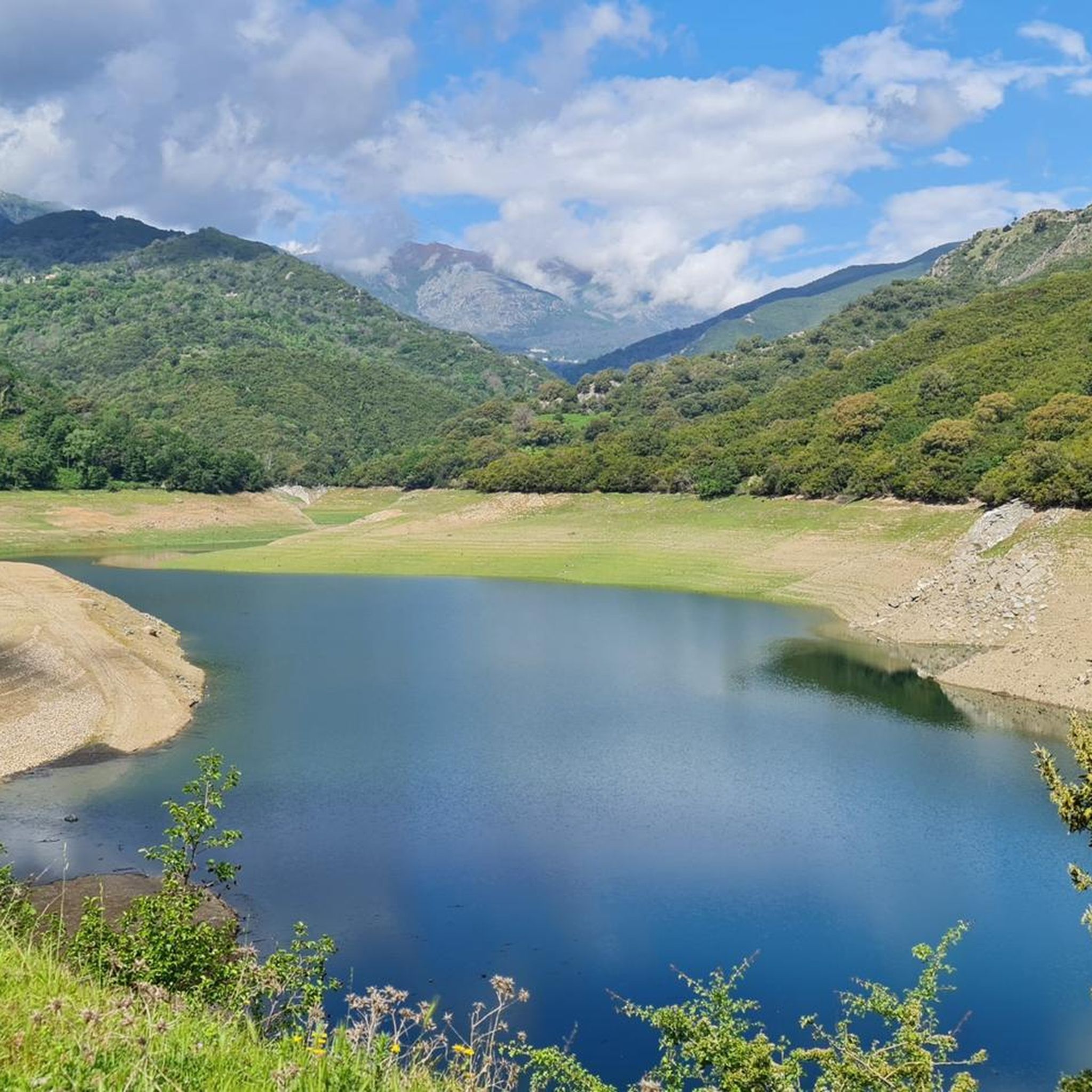
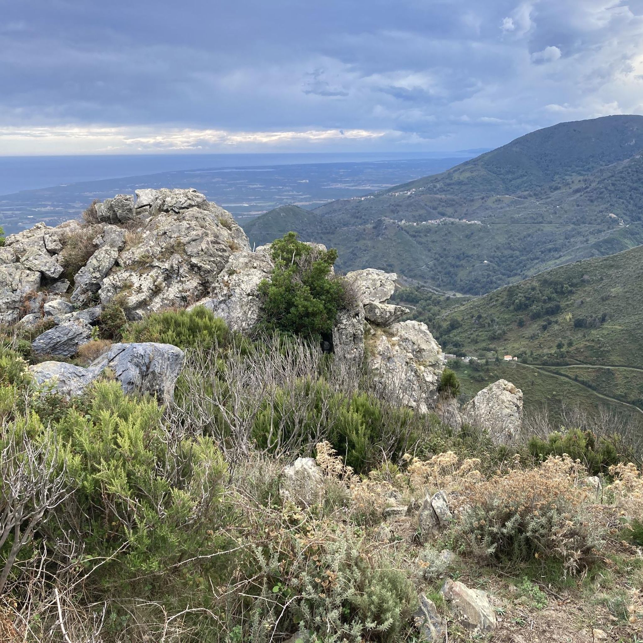
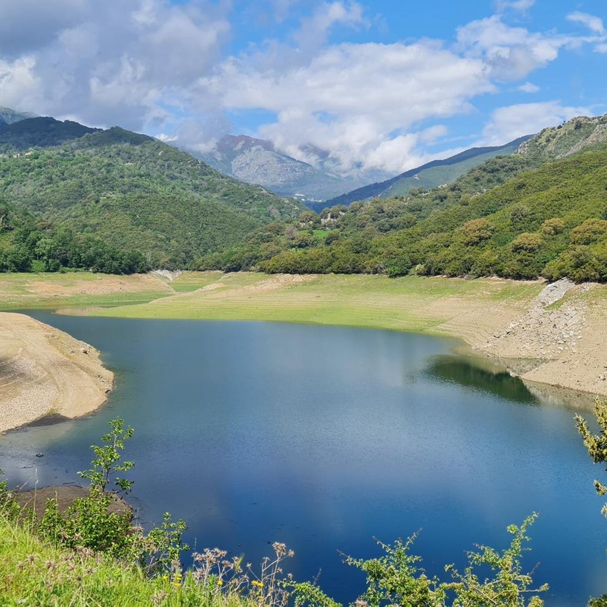
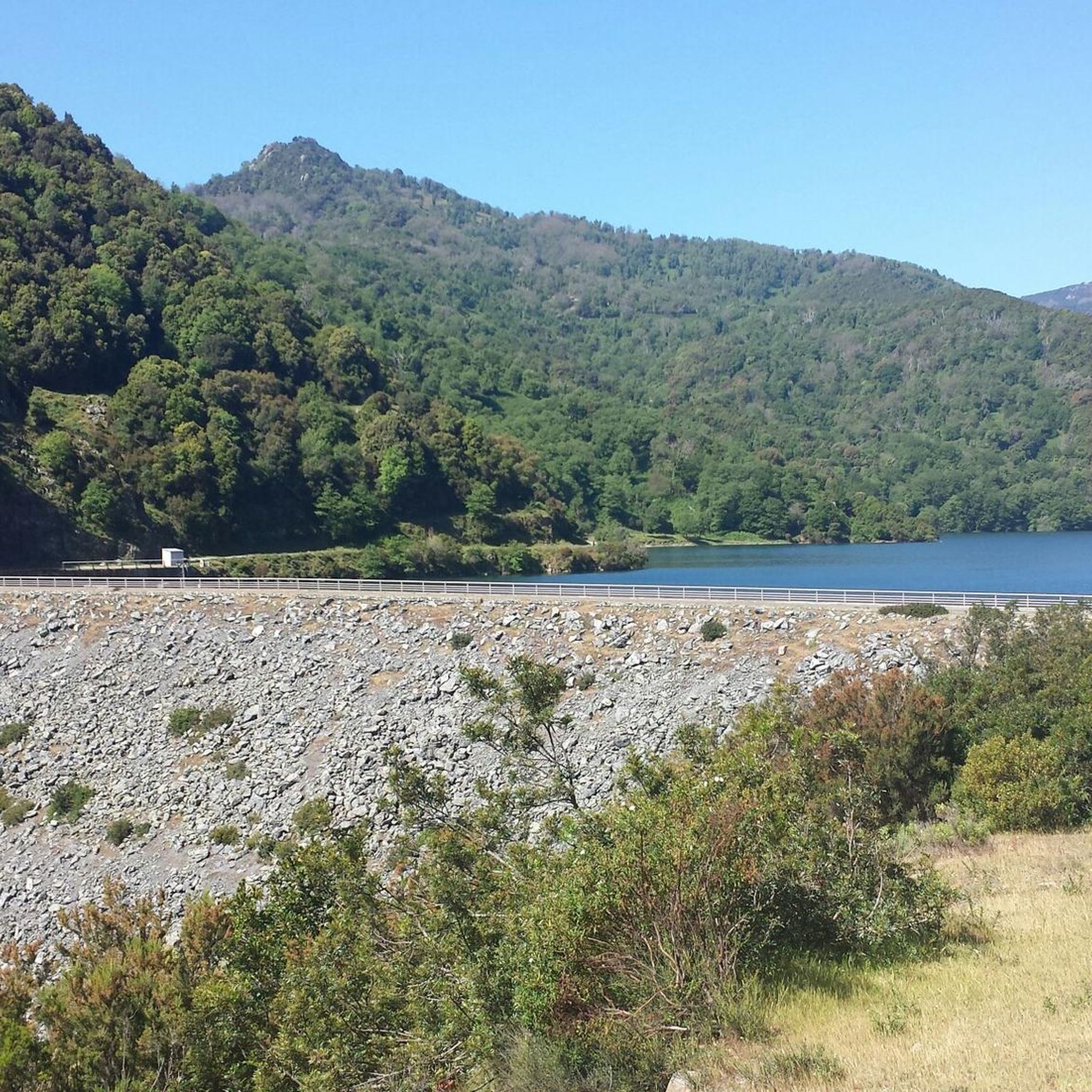
Hiking around Sant'Andréa-Di-Cotone provides access to diverse landscapes, characterized by wooded hills and elevated hamlets. The region offers panoramic views that extend across the surrounding terrain and towards the Italian islands. Hikers can explore trails leading to peaks such as Punta di Travu (876 meters) and Mont Cime Tonde (1013 meters), alongside routes through charming local villages.
Best hiking trails around Sant'Andréa-Di-Cotone
- The most popular hiking route is View of Cervione and the Coast – Way of the Cross of…
Last updated: June 28, 2026
4.7
(53)
219
hikers
Moderate hike. Good fitness required. Mostly accessible paths. Sure-footedness required.
4.7
(74)
201
hikers
Moderate hike. Good fitness required. Easily-accessible paths. Suitable for all skill levels.

Sign up for free
4.7
(33)
108
hikers
Moderate hike. Good fitness required. Mostly accessible paths. Sure-footedness required.
4.5
(43)
109
hikers
5.73km
01:42
180m
170m
Easy hike. Great for any fitness level. Easily-accessible paths. Suitable for all skill levels.
4.4
(15)
58
hikers
2.57km
00:54
70m
70m
Moderate hike. Great for any fitness level. Mostly accessible paths. Sure-footedness required.
Get access to more routes and recommendations from other explorers.
Sign up for free
Already have an account?
Our route recommendations are based on thousands of hikes, rides, and runs completed by other people on komoot.
Start today with a free account
Your next adventure awaits.
Login or Signup
Tips from the Community

Saint Francis of Assisi, whose 800th anniversary of death we are celebrating this year, (...). The Poverello encourages us to fix our gaze on Jesus: "Let us all, brothers, pay attention to the good shepherd who, to save his sheep, suffered the torment of the cross" (Erm VI). Therefore, let us accept Saint Francis' invitation on this Way of the Cross and follow in Jesus' footsteps, not just ritually or intellectually, but with our whole being and our whole life: "Offer yourselves in body and bear his holy cross and follow his most holy commandments to the end" (Off XV 13). (from the introduction to the Way of the Cross with the Holy Father, Pope Leo XIV., in the Roman Colosseum on April 3, 2026)
0
0

The weather wasn't great for us, but it's still worth a visit!
0
0

Santa-Maria-Poggio is a charming village in the Corsican foothills. At the foot of the mountains, it offers magnificent views of the coast.
0
0

Embark on an adventure on this 4.2km out and back trail near Cervione, Haute-Corse. The route is generally rated as moderate and can be completed in most areas in 2h 7m. This is a popular trail for birdwatching and walking, but you can also enjoy some solitude at quieter times of the day. The best time to go is March to November. Dogs are welcome and can be let off-leash in some areas.
1
0
Cervione, situated at over 300 m above sea level on the slopes of Monte Castello with great views, is a large and very lively place. There is always something going on, especially on the main road (Traversa) with its cafes and a few small shops. If you sit in front of one of the bars, you can see paragliders taking off from the Chapel of the Madonna and flying down into the plain when the weather is good. A short hike leads up to the striking viewpoint with the cross (632 m). It takes 1.5 hours there and back from the village center. A circular hike is also possible. Both are described in the hiking section. The view of the plain, the village of Cervione and the islands of Elba and Monte Cristo is beautiful!
1
0
Cervione, situated at over 300 m above sea level on the slopes of Monte Castello with great views, is a large and very lively place. There is always something going on, especially on the main road (Traversa) with its cafes and a few small shops. If you sit in front of one of the bars, you can see paragliders taking off from the Chapel of the Madonna and flying down into the plain when the weather is good. A short hike leads up to the striking viewpoint with the cross (632 m). It takes 1.5 hours there and back from the village center. A circular hike is also possible. Both are described in the hiking section. The view of the plain, the village of Cervione and the islands of Elba and Monte Cristo is beautiful!
2
0
Cervione, situated at over 300 m above sea level on the slopes of Monte Castello with great views, is a large and very lively place. There is always something going on, especially on the main road (Traversa) with its cafes and a few small shops. If you sit in front of one of the bars, you can see paragliders taking off from the Chapel of the Madonna and flying down into the plain when the weather is good. A short hike leads up to the striking viewpoint with the cross (632 m). It takes 1.5 hours there and back from the village center. A circular hike is also possible. Both are described in the hiking section. The view of the plain, the village of Cervione and the islands of Elba and Monte Cristo is beautiful!
1
0
Embark on an adventure on this 4.2km out and back trail near Cervione, Haute-Corse. The route is generally rated as moderate and can be completed in most areas in 2h 7m. This is a popular trail for birdwatching and walking, but you can also enjoy some solitude at quieter times of the day. The best time to visit is March to November. Dogs are welcome and can be let off-leash in some areas.
1
1
Frequently Asked Questions
What kind of hiking trails can I expect around Sant'Andréa-Di-Cotone?
The region offers a diverse range of trails, from easy walks through charming hamlets and wooded hills to more challenging ascents to peaks like Punta di Travu and Mont Cime Tonde. You'll find routes with panoramic coastal views, paths exploring historical chapels, and trails leading through varied terrain. In total, there are nearly 170 hiking routes available, catering to all ability levels.
Are there any easy hiking trails suitable for beginners or relaxed walks?
Yes, Sant'Andréa-Di-Cotone has over 50 easy trails. For a relaxed walk with beautiful scenery, consider the Santa Maria Poggio – Magnificent view of the coast loop from Cervione. This easy route offers splendid coastal views and is a great option for a less strenuous outing.
What are the best trails for experiencing the panoramic views of the region?
Many trails in the area are known for their panoramic vistas. The hamlet of Ciglio, for instance, is famed for its 'eagle's nest' views over the Campoloro region and towards the Italian islands. For a specific route, the View of Cervione and the Coast – Cross and View of Cervione loop from Cervione is a moderate trail that delivers extensive coastal views.
Are there any circular hiking routes available?
Yes, many of the trails around Sant'Andréa-Di-Cotone are designed as loops, allowing you to start and end in the same location. An example is the Chiatra loop from Chiatra, a moderate route that explores the local area.
What interesting landmarks or natural features can I see while hiking?
The region is rich in points of interest. You can discover historical sites like the Genoese bridge, or explore charming villages such as Cervione. The 17th-century Church of St. André in the village itself offers sea views. For natural beauty, there are several waterfalls nearby, including the Bucatoggio Waterfall and Ucelluline Waterfall.
Are there any trails that pass by historical chapels or archaeological sites?
Absolutely. The area has a rich history reflected in its numerous chapels and potential archaeological sites. The Church of Penti – San Mamilianu Chapel loop from Santa-Reparata-di-Moriani is a moderate trail that specifically explores the area around Santa-Reparata-di-Moriani, passing by historical chapels. Near Punta di Travu, you can also find Santa Maria A Vecchia, a site believed to be prehistoric with a Romanesque chapel.
What is the best time of year to go hiking in Sant'Andréa-Di-Cotone?
Sant'Andréa-Di-Cotone offers pleasant hiking conditions for much of the year. Spring and autumn are particularly ideal, with milder temperatures and lush landscapes. Summer can be warm, so early morning or late afternoon hikes are recommended during this season. The diverse terrain means you can find suitable routes in most conditions.
What do other hikers say about the trails in Sant'Andréa-Di-Cotone?
The trails in Sant'Andréa-Di-Cotone are highly regarded by the komoot community, holding an average rating of 4.5 stars from nearly 1,900 reviews. Over 7,100 hikers have explored the varied terrain, often praising the stunning panoramic views, the charm of the wooded hills, and the well-maintained paths that lead through historical hamlets and to impressive peaks.
Are there any options for more challenging or advanced hikes?
Yes, for experienced hikers seeking a challenge, there are 20 difficult routes in the area. These trails often involve greater elevation gain and longer distances, leading to higher peaks like Punta di Travu (876 meters) and Mont Cime Tonde (1013 meters), offering rewarding climbs and expansive views.
Can I find trails that offer views of the coast?
Coastal views are a prominent feature of hiking around Sant'Andréa-Di-Cotone. Many routes are designed to showcase the stunning Mediterranean coastline. For example, the View of Cervione and the Coast – Way of the Cross of Cervione loop from Cervione is a moderate trail that provides excellent views of Cervione and the surrounding coast.
Is there public transport available to reach trailheads, or is parking generally accessible?
While specific public transport options to individual trailheads can vary, Sant'Andréa-Di-Cotone and its surrounding villages are generally accessible. For many routes, particularly those starting from villages like Cervione or Santa-Reparata-di-Moriani, you'll often find local parking available. It's advisable to check specific route details for parking information or local transport links if you plan to rely on public transport.
Are there any nearby areas for hiking that are also worth exploring?
Beyond Sant'Andréa-Di-Cotone, the broader region of Haute-Corse offers many hiking opportunities. The stunning Restonica Valley, located about 37 km away, is a prime destination known for its impressive gorges and diverse trails. Areas around Cervione and Santa-Reparata-di-Moriani also provide various trails, from coastal walks to routes through charming villages.
Most popular routes around Sant'Andréa-Di-Cotone
Most popular attractions around Sant'Andréa-Di-Cotone

Get inspired with the komoot mobile app


Explore more
Browse the best Hikes in other regions.
