The best cycling routes around Wasperweiler
4.3
(376)
2,724
riders
142
rides
Touring cycling around Wasperweiler features routes through forested valleys and over mountain passes, characteristic of the Vosges region. The terrain includes significant elevation changes, with routes often traversing hills and offering views of the surrounding landscape. This area provides a mix of challenging climbs and scenic descents suitable for touring cyclists.
Best touring cycling routes around Wasperweiler
- The most popular touring cycling route is Circuit des Deux Vallée — loop from Abreschviller, a 21.5 miles (34.7 km) trail that…
Last updated: October 22, 2026
4.5
(17)
86
riders
34.7km
02:15
360m
360m
Moderate bike ride. Good fitness required. Mostly paved surfaces.
5.0
(2)
63
riders
102km
07:12
1,810m
1,810m
Hard bike ride. Very good fitness required. Mostly paved surfaces.

5.0
(2)
52
riders
49.5km
03:28
710m
710m
Hard bike ride. Very good fitness required. You may need to push your bike for some segments of this route.
28
riders
47.9km
04:38
1,240m
1,240m
Hard bike ride. Very good fitness required. Mostly paved surfaces.
24
riders
Hard bike ride. Very good fitness required. Mostly paved surfaces.
Get access to more routes and recommendations from other explorers.
Already have an account?
Our route recommendations are based on thousands of hikes, rides, and runs completed by other people on komoot.
Start today with a free account
Your next adventure awaits.
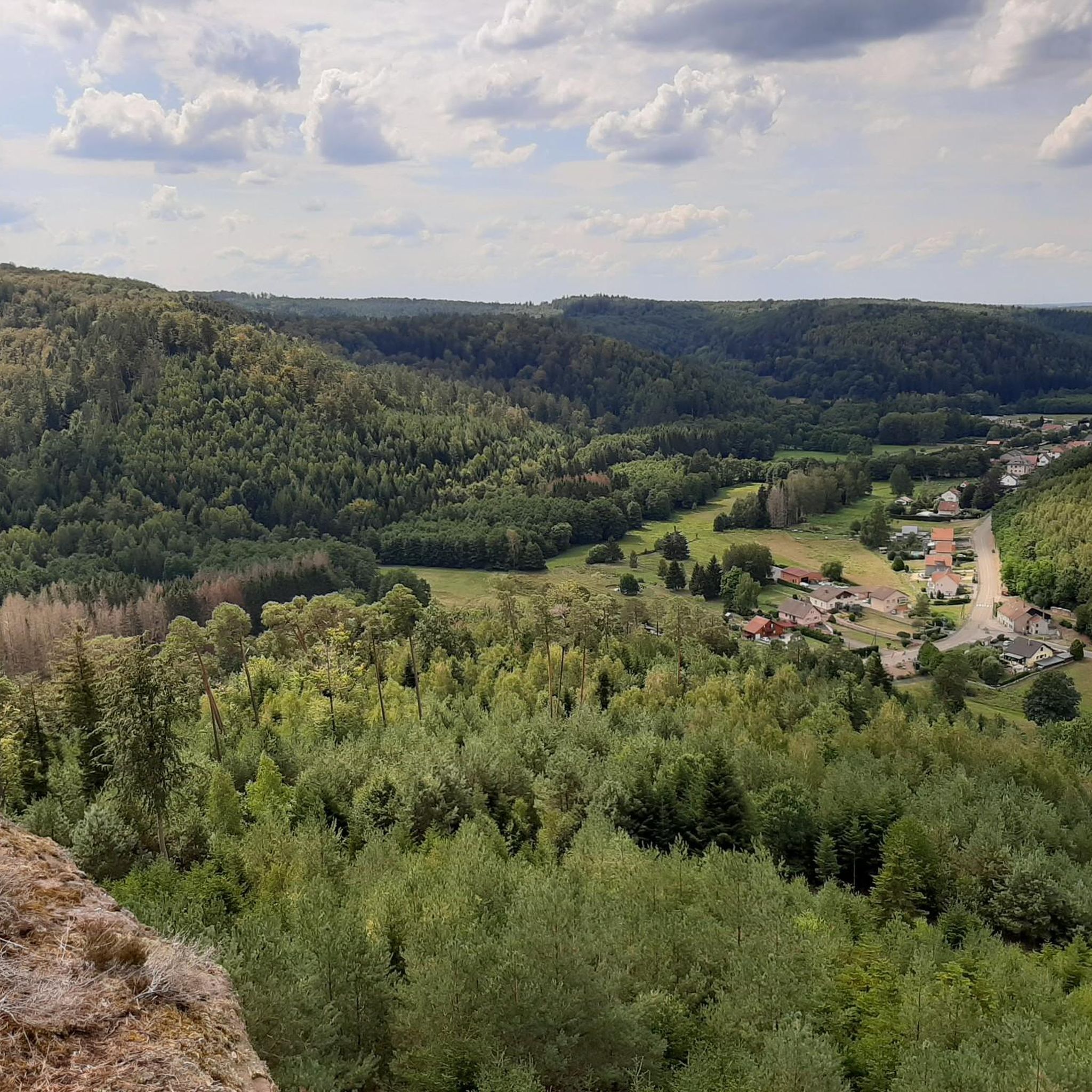

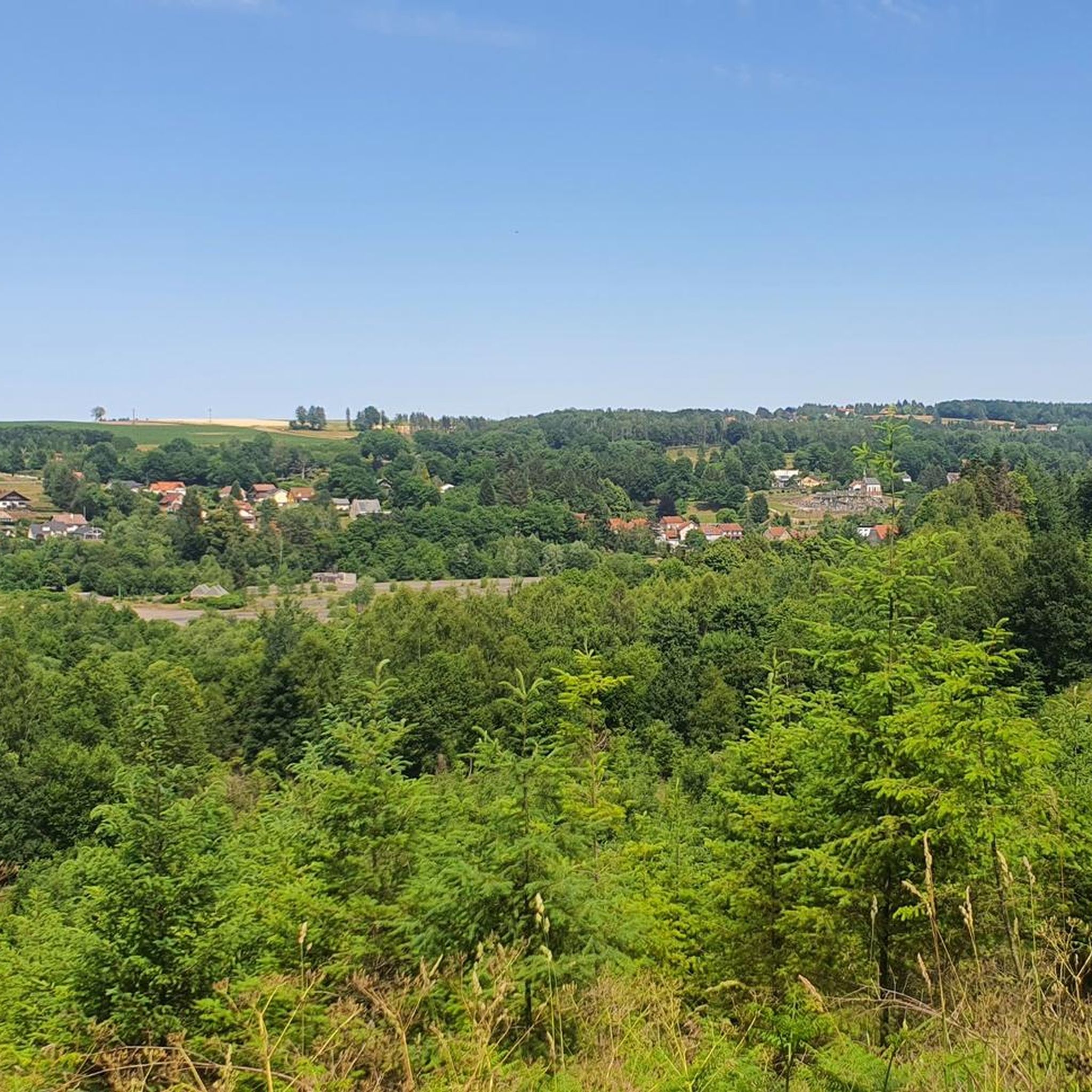
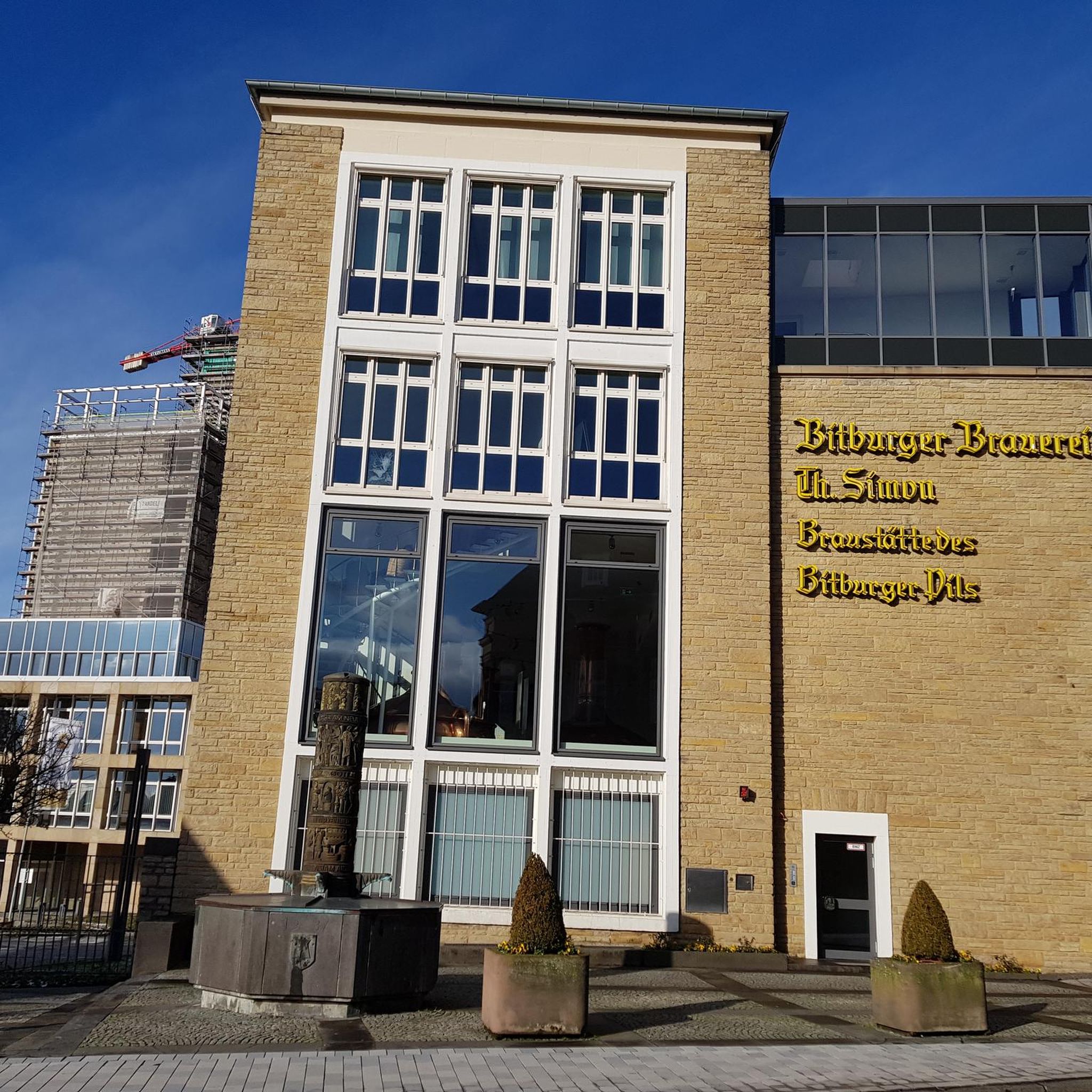
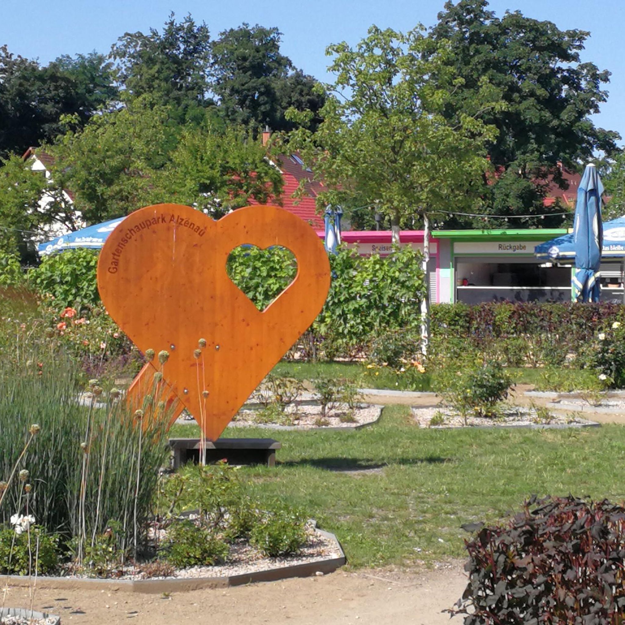
Tips from the Community

along the old railway line is a poem.
0
0
Here the red Saar begins, it unites with the white Saar near Hermelange and flows into the Moselle near Konz in Rhineland-Palatinate. The source of the white Saar is only about 1 km away, but it only unites with the red Saar near Hermelange (Jonction des deux Sarre) after 27 km.
0
0

Beautiful hiking destination, there is also a cycling route
0
0

Large rocky plateau; “Hohwalsch” means the height of Walsch, i.e. of Walscheid.
0
0

Very nice to ride: moderate gradient, little traffic.
0
1

A little historical surprise at the bend of a pretty path
0
0

Beautiful climb and lovely view at the pass - Altitude 728m Restaurants (inns) at the pass
1
0

Even though the two sources of the Saar headwaters are less than 1km apart, they only join after flowing for over 26km each.
1
0
Frequently Asked Questions
What kind of terrain can I expect when touring cycling around Wasperweiler?
Touring cycling around Wasperweiler is characterized by routes through forested valleys and over mountain passes, typical of the Vosges region. You can expect significant elevation changes, including challenging climbs and scenic descents.
How many touring cycling routes are available in the Wasperweiler area?
There are over 150 touring cycling routes available around Wasperweiler, catering to various skill levels and preferences.
Are there routes suitable for beginners or those looking for easier rides?
Yes, Wasperweiler offers routes for all abilities. While many routes feature significant climbs, there are 28 easy routes and 73 moderate routes available, often traversing valleys with less demanding elevation changes.
What are the options for experienced touring cyclists seeking a challenge?
For experienced touring cyclists, Wasperweiler provides 49 difficult routes. These often include substantial climbs over mountain passes, such as the Valsberg Pass (652 m) – Col des Pandours loop from Abreschviller, which features over 1800 meters of elevation gain.
What do other touring cyclists say about the routes in Wasperweiler?
The touring cycling routes in Wasperweiler are highly rated by the komoot community, with an average score of 4.5 stars from over 260 reviews. More than 2200 touring cyclists have explored the varied terrain, often praising the scenic forested valleys and challenging mountain passes.
Are there any circular touring cycling routes in Wasperweiler?
Yes, many touring cycling routes in Wasperweiler are designed as loops, allowing you to start and end at the same point. Examples include the Circuit des Deux Vallée — loop from Abreschviller and the Donon Pass – Source of the Red Saar loop from Abreschviller.
What kind of natural features or landmarks can I see along the touring cycling routes?
Along the touring cycling routes, you can discover various natural and historical landmarks. Notable natural features include the mysterious Fairies' Rock and the intriguing Saint-Léon Cave. You might also encounter the Heidenschlossberg Rock Formation or the Rocher du Calice.
Are there any historical or cultural attractions accessible by bike?
Yes, some routes pass by interesting man-made attractions. For instance, you could see the unique La Forge Metal Canal Bridge or the historic Chapelle-Haute de Saint-Quirin. The Abreschviller Forest Railway is another point of interest in the area.
What is the average length and duration of touring cycling routes in Wasperweiler?
The routes vary significantly in length and duration. For example, the Circuit des Deux Vallée — loop from Abreschviller is about 34.7 km (21.5 miles) and takes around 2 hours 15 minutes, while the more challenging Saint-Léon Cave – Saint Léon Chapel loop from Abreschviller covers 44.6 km (27.7 miles) and can take over 4 hours.
Are there any routes that pass by water features or scenic viewpoints?
Many routes in Wasperweiler offer scenic views and pass by water features. The region is known for its river landscapes and forested valleys. For example, the Donon Pass – Source of the Red Saar loop from Abreschviller leads near river sources, and routes over mountain passes like the Valsberg Pass provide expansive vistas.
Can I find routes that are suitable for a family outing?
While the guide highlights routes with significant elevation, there are easier and moderate options that families might enjoy. Look for routes categorized as 'easy' or 'moderate' which typically feature less strenuous climbs and shorter distances, often found in the valley areas.
What is the elevation gain like on the touring cycling routes?
Elevation gain varies greatly depending on the route's difficulty. Easy routes might have a few hundred meters of ascent, while difficult routes can feature over 1000 meters of climbing. For instance, the Municipal Pond – Picnic Table in the Forest loop from Abreschviller has over 700 meters of elevation gain, despite being a moderate length.
Most popular routes around Wasperweiler
Most popular attractions around Wasperweiler

Get inspired with the komoot mobile app


Explore more
Browse the best Cycling routes in other regions.
