The best road cycling routes around Wasperweiler
4.6
(47)
1,194
riders
95
rides
Road cycling routes around Wasperweiler are characterized by a landscape of rolling hills, significant mountain passes, and dense forested areas. The region offers varied elevation changes, with routes often traversing through valleys and ascending to cols. This terrain provides a diverse experience for road cyclists, from steady climbs to exhilarating descents. The area's geography is well-suited for those seeking routes with notable elevation gain.
Best road cycling routes around Wasperweiler
- The most popular road cycling route is Col du Donon…
Last updated: May 25, 2026
5.0
(6)
79
riders
82.9km
03:52
1,060m
1,060m
Hard road ride. Very good fitness required. Mostly well-paved surfaces and easy to ride.
4.8
(4)
50
riders
55.6km
02:46
860m
860m
Moderate road ride. Good fitness required. Mostly well-paved surfaces and easy to ride.

Sign up for free
5.0
(1)
40
riders
108km
05:38
1,970m
1,970m
Hard road ride. Very good fitness required. Mostly well-paved surfaces and easy to ride.
42
riders
105km
05:33
1,970m
1,970m
Hard road ride. Very good fitness required. Mostly well-paved surfaces and easy to ride.
20
riders
Moderate road ride. Good fitness required. Some segments of this route may be unpaved and difficult to ride.
Get access to more routes and recommendations from other explorers.
Sign up for free
Already have an account?
Our route recommendations are based on thousands of hikes, rides, and runs completed by other people on komoot.
Start today with a free account
Your next adventure awaits.
Login or Signup
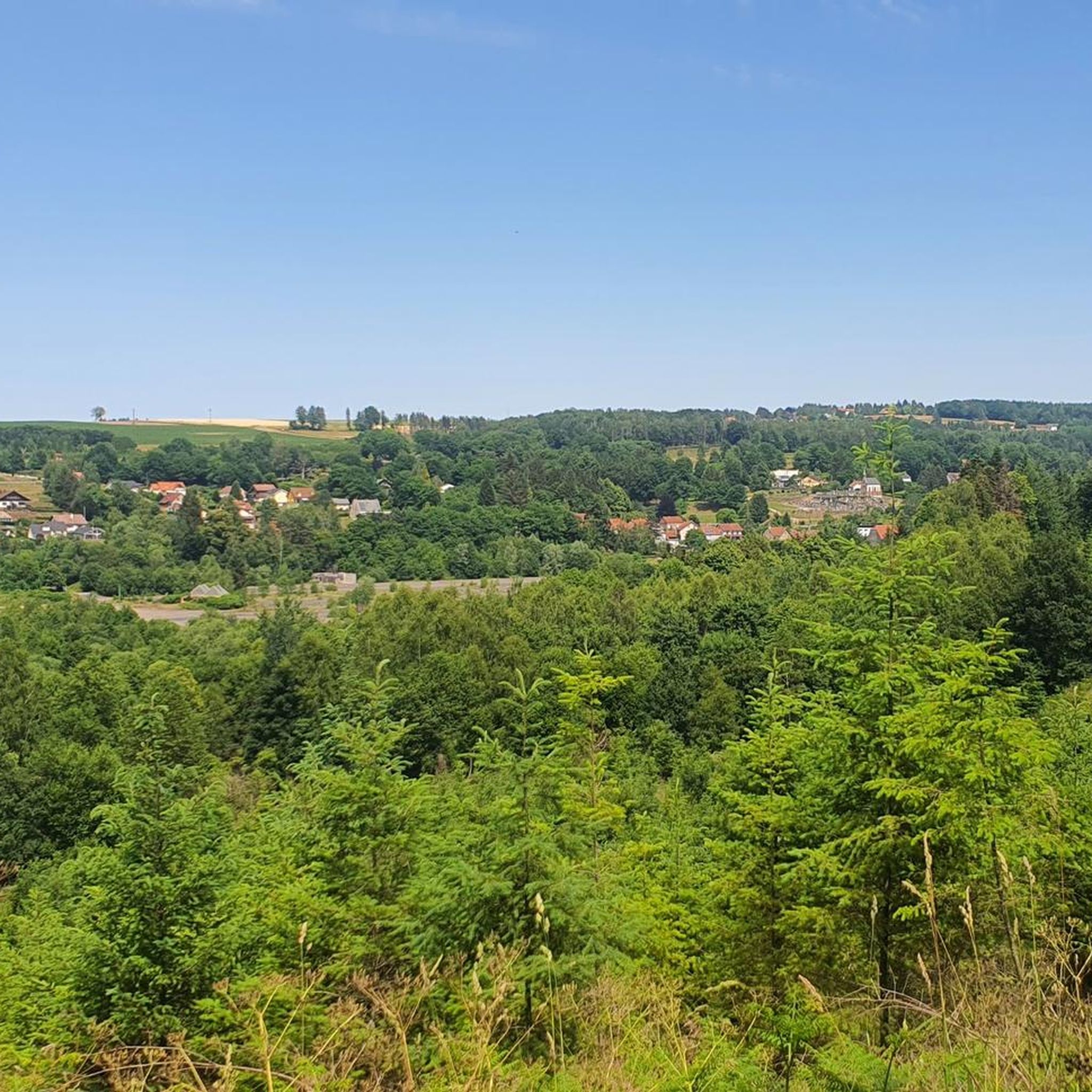
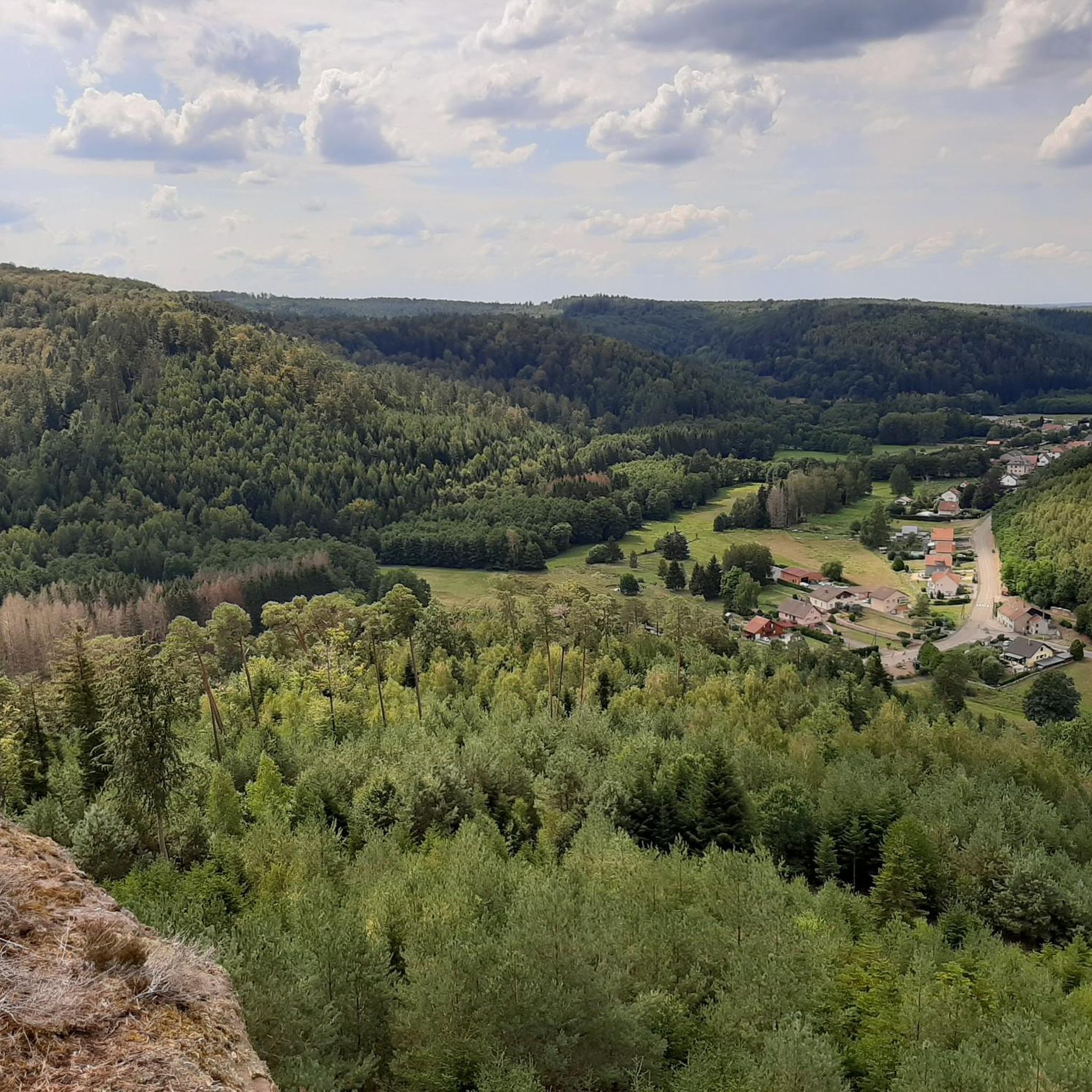
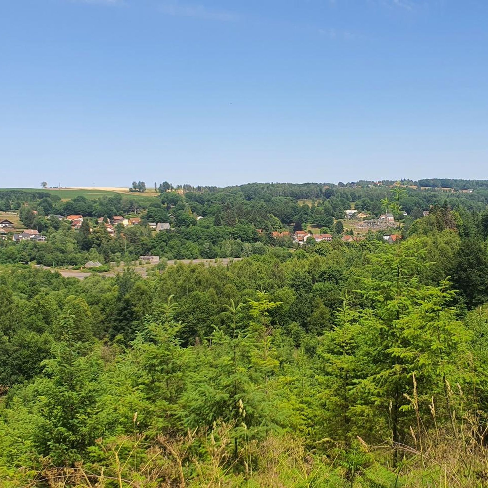
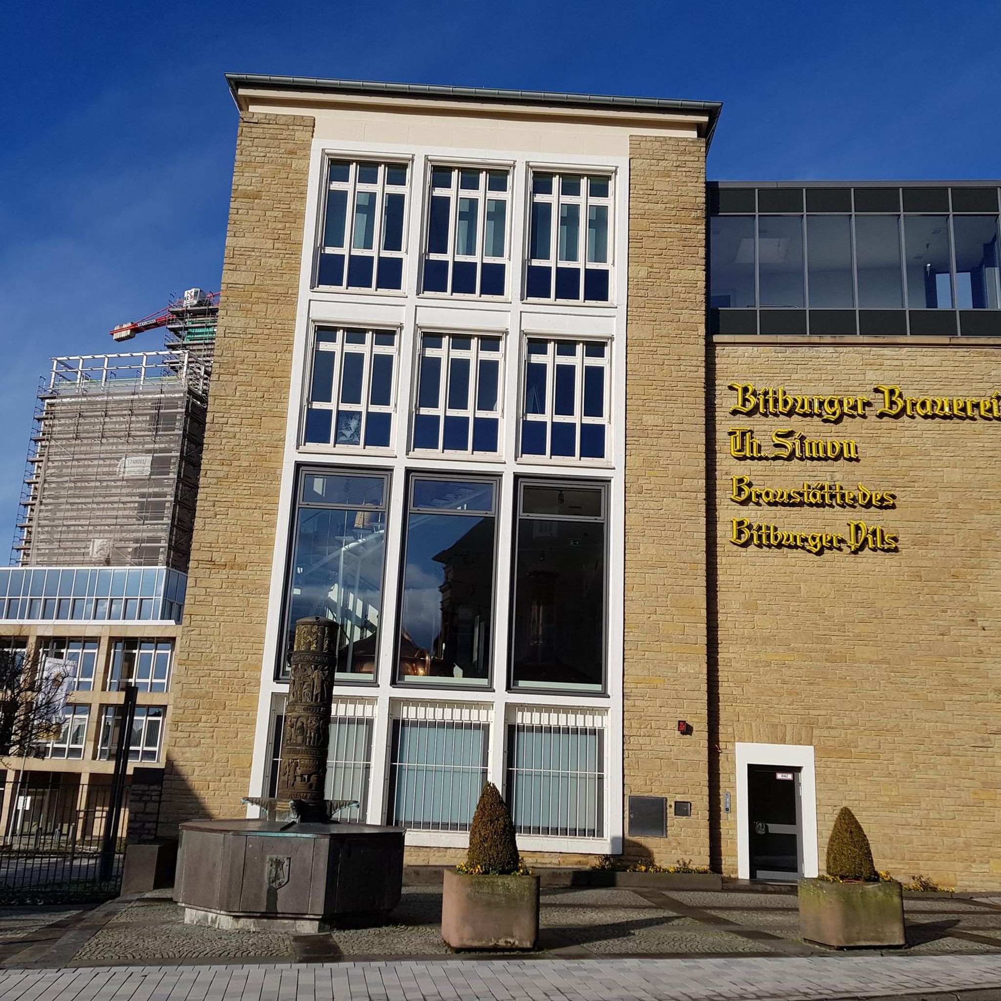
Tips from the Community

The visit of the little train is worth the detour!
0
0
Beautiful chapel at the top of the pass!
0
0


Beautiful hiking destination, there is also a cycling route
0
0

Magnificent pass to climb from different slopes (Breitenbach, Steige, Vallée de la Bruche, Andlau). It is also a crossing point towards the Champ du feu, the Hohwald, the Mont Ste Odile.
0
0

Beautiful climb and lovely view at the pass - Altitude 728m Restaurants (inns) at the pass
0
0

Impressive structure of the Rhine-Marne Canal.
0
0

This impressive canal bridge crosses the Saar River between the villages of Hesse and Xouaxange, in Moselle. Built of metal, it is a testament to 19th-century civil engineering and is part of the region's river heritage. It is a peaceful place, steeped in history, offering magnificent views of the valley and surrounding landscapes. 🚶♂️ Accessible on foot or by bike via the towpath, it makes an ideal stopover during a stroll along the canal. Boats are sometimes encountered along the bridge, adding a lively and authentic touch to the place. 📸 An original photo spot, perfect for lovers of industrial heritage, hiking, and relaxing by the water.
0
0
Frequently Asked Questions
How many road cycling routes are available around Wasperweiler?
There are over 80 road cycling routes around Wasperweiler documented on komoot, offering a wide range of options for different skill levels and preferences.
Are there easy road cycling routes suitable for beginners in Wasperweiler?
Yes, Wasperweiler offers 14 easy road cycling routes. While the region is known for its rolling hills and mountain passes, these easier options provide a gentler introduction to the area's beautiful landscapes.
What are some challenging road cycling routes for experienced riders?
For experienced riders seeking a challenge, Wasperweiler has 14 difficult routes. Notable options include the Col du Donon – Chapelotte Pass loop from Abreschviller, which features significant climbs and descents, and the Champ du Feu – Charbonnière Pass loop from Abreschviller, a longer trail with extensive forest areas and considerable elevation gain.
When is the best time of year for road cycling in Wasperweiler?
Given the region's mountain passes and elevation changes, the best time for road cycling in Wasperweiler is typically from late spring through early autumn. During these months, the weather is generally more stable, and the passes are clear of snow and ice, offering optimal conditions for exploring the varied terrain.
Is road cycling possible in Wasperweiler during winter?
Road cycling in Wasperweiler during winter can be challenging due to snow and ice, especially on higher mountain passes. While some lower-elevation routes might be accessible, it's advisable to check local weather and road conditions before planning a winter ride.
What kind of scenery can I expect on road cycling routes in Wasperweiler?
Road cycling routes in Wasperweiler are characterized by a diverse landscape of rolling hills, significant mountain passes, and dense forested areas. You'll often traverse through picturesque valleys and ascend to cols, offering panoramic views of the region's natural beauty.
Are there any interesting landmarks or attractions along the road cycling routes?
Yes, several routes pass by interesting landmarks. You might encounter natural monuments like the Fairies' Rock or the Saint-Léon Cave. Other routes may lead you past historical structures such as the La Forge Metal Canal Bridge or the Chapelle-Haute de Saint-Quirin.
What do other road cyclists enjoy most about road cycling in Wasperweiler?
The area is highly rated by the komoot community, with an average score of 4.6 stars from over 45 reviews. Reviewers often praise the diverse terrain, the challenging climbs, and the stunning natural beauty of the forested landscapes and mountain passes.
Are there circular road cycling routes available?
Many of the road cycling routes around Wasperweiler are designed as loops, allowing you to start and finish in the same location. Examples include the popular Abreschviller, a pretty village – Donon Pass loop from Abreschviller and the more challenging Col de Saint Léon – Valsberg Pass (652 m) loop from Abreschviller.
Where can I typically park when starting a road cycling route in Wasperweiler?
Many routes, particularly the popular ones, often start from villages like Abreschviller. These locations usually offer public parking facilities suitable for cyclists. It's always a good idea to check specific route details for recommended starting points and parking information.
Can I access road cycling routes in Wasperweiler using public transport?
While specific public transport links to every trailhead are not detailed, starting points like Abreschviller are generally accessible by local public transport. We recommend checking regional bus or train schedules for connections to the main villages from which routes typically begin.
What are the typical durations for road cycling routes in Wasperweiler?
Route durations vary significantly based on distance and elevation. For instance, a moderate route like the Abreschviller, a pretty village – Donon Pass loop takes approximately 3 hours, while longer, more difficult routes such as the Au Champ du Feu – Champ du Feu loop can take over 6 hours to complete.
Most popular routes around Wasperweiler
Most popular attractions around Wasperweiler

Get inspired with the komoot mobile app


Explore more
Browse the best Road cycling routes in other regions.
