The best cycling routes around Savigny-Sur-Ardres
4.4
(42)
687
riders
114
rides
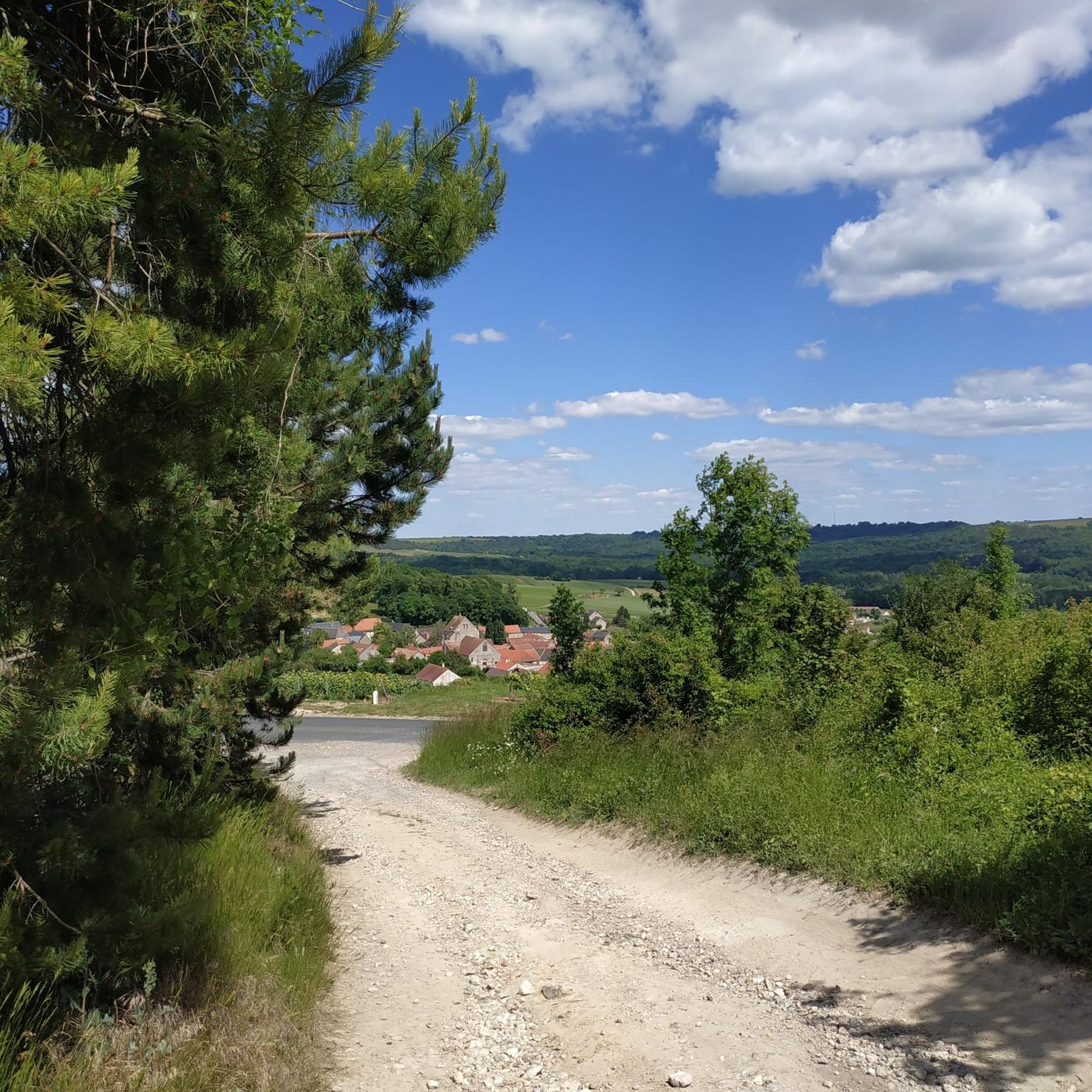
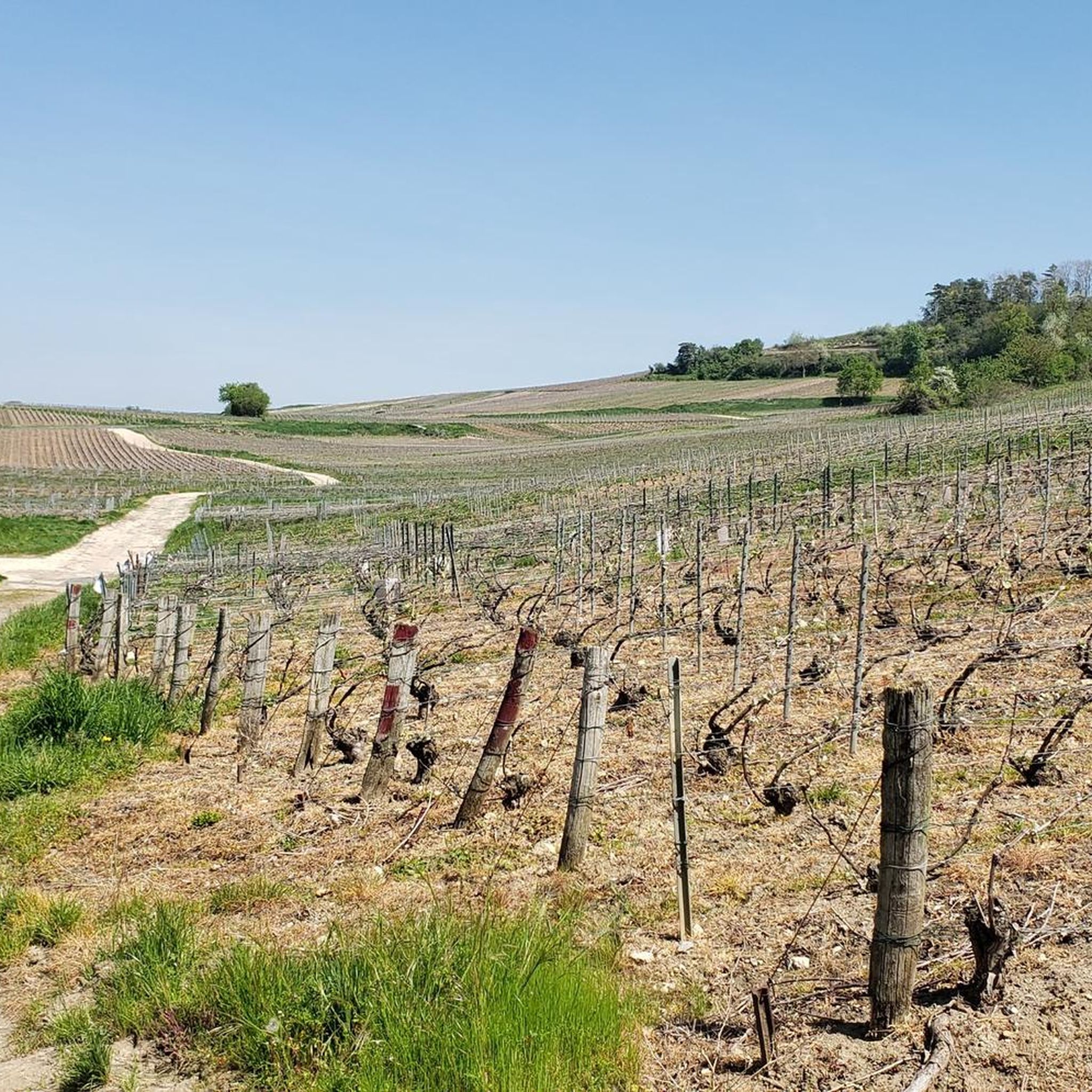
Touring cycling around Savigny-Sur-Ardres is characterized by its location within the Marne department, offering varied landscapes for exploration. The region features rolling hills covered with Champagne vineyards and dense forests of the Montagne de Reims Regional Natural Park. Cyclists can expect a mix of wide forest trails, agricultural plains, and open wetlands, with elevations generally under 200 meters. The area also includes the protected Natura 2000 site "Pelouses de la Barbarie à Savigny-sur-Ardres," highlighting its ecological diversity.
Best touring cycling…
Last updated: June 24, 2026
4.4
(7)
22
riders
53.5km
03:26
660m
660m
Hard bike ride. Very good fitness required. Mostly paved surfaces. Suitable for all skill levels.
5.0
(1)
15
riders
53.7km
03:32
430m
430m
Moderate bike ride. Good fitness required. Mostly paved surfaces. Suitable for all skill levels.

Sign up for free
8
riders
47.8km
04:27
810m
810m
Hard bike ride. Very good fitness required. Mostly paved surfaces. Suitable for all skill levels.
4.0
(1)
6
riders
25.8km
01:36
260m
260m
Moderate bike ride. Good fitness required. Mostly paved surfaces. Suitable for all skill levels.
6
riders
18.3km
01:10
210m
210m
Moderate bike ride. Good fitness required. Mostly paved surfaces. Suitable for all skill levels.
Get access to more routes and recommendations from other explorers.
Sign up for free
Already have an account?
Our route recommendations are based on thousands of hikes, rides, and runs completed by other people on komoot.
Start today with a free account
Your next adventure awaits.
Login or Signup



Tips from the Community

cemetery located in the town of Bligny
0
0

Under the central arch is a calendar depicting the activities and tasks of agriculture and viticulture: grape pressing, harvesting, etc. A calendar can be seen here through the carved reliefs. Under the eastern arch, we can see a she-wolf suckling Romulus and Remus. According to legend, it was Remus who founded Reims. Finally, under the western arch, we can see Leda being seduced by Jupiter.
1
0
This ancient monument is one of the longest in the Roman world: it is approximately 32 meters long and 12 meters high! The Mars Gate was built towards the end of the 2nd century and is the only one of the four monumental arches providing access to the city of Durocortorum that has survived. It consists of three arcades. The central arch carried the city's major north-south axis, intended for the passage of carriages. The two side arcades were used by pedestrians.
1
0

While staying on the asphalt, you can cover more than 24 km. From the St. Brice Courcelles side, you can go up to La Neuvillette, then to Courcy, it's an unpaved road (passable but not for road bikes). After Courcy, there's asphalt up to Berry au Ferry (this allows you to discover the Sapigneul Owl, about 150 m on dirt road). On the other side, after Sillery, you can continue to Beaumont (asphalt). Then, on a dirt road passable by mountain bike, you can go to the Billy Arch, where the canal passes through a tunnel.
0
0

The monument survived destruction because it was walled up inside the Archbishop's castle in the 13th century, which inadvertently preserved it for future generations.
3
1
The Porte de Mars is a 3rd-century Roman monument in Reims, France, representing the widest arch in the entire Roman world at 33 meters long and 13 meters high. Originally built as one of four monumental arches at the cardinal entrances to ancient Durocortorum, it's the only surviving example of these grand structures. The arch features three decorated archways with intricate relief carvings, including scenes of Romulus and Remus with the she-wolf, agricultural calendars showing Gallic harvesters, and mythological figures like Leda and Zeus.
3
1

Beautiful cycle path along the water.
0
0

One of the most fascinating aspects of the Porte de Mars is the interior of the vaults, which, despite heavy wear, feature a rare depiction of a Gallic reaper as part of a calendar of agricultural labors. This series of medallions depicts various agricultural activities such as plowing, harvesting, and milling. Below the western arch, a square medallion depicts the legendary she-wolf suckling Romulus and Remus, watched by the shepherd Faustulus and Acca Larentia. This scene is said to symbolize the deep connection between Reims and Rome, with local legend stating that Reims was founded by Remus or his companions after their escape from Rome.
1
0
Frequently Asked Questions
How many touring cycling routes are available around Savigny-sur-Ardres?
There are over 110 touring cycling routes available around Savigny-sur-Ardres, offering a wide range of options for different preferences and skill levels. These routes are highly rated by the komoot community, with an average score of 4.4 stars from more than 30 reviews.
What kind of terrain can I expect when touring cycling in this region?
The region around Savigny-sur-Ardres offers a diverse landscape. You can expect to cycle through rolling hills covered with Champagne vineyards, dense forests within the Montagne de Reims Regional Natural Park, agricultural plains, and open wetlands. The terrain includes wide forest trails and dedicated greenways, with elevations generally under 200 meters, though some routes feature more significant climbs.
Are there touring cycling routes suitable for families or beginners?
Yes, the region offers a good selection of easier routes. There are 16 easy touring cycling routes, many of which utilize greenways (Voies Vertes) that are specifically designed for non-motorized traffic, providing a safe and pleasant experience away from vehicular traffic. These paths are ideal for families or those new to touring cycling.
Are there any circular touring cycling routes available?
Yes, many routes in the area are designed as loops. For example, you could try the Gueux Lake Park – Lavoir loop from Jonchery-sur-Vesle, or the Lavoir – Hourges Washhouse loop from Faverolles-et-Coëmy. These circular routes allow you to start and finish in the same location, making logistics easier.
What are some interesting landmarks or attractions I can see along the cycling routes?
The routes often pass through the picturesque Champagne vineyards, a UNESCO World Heritage site. You can also discover charming villages with Romanesque churches. Specific points of interest include the Reims-Gueux Historic Grand Prix Circuit, the serene Gueux Lake Park, and the unique Lagery Market Hall. The Natura 2000 site "Pelouses de la Barbarie à Savigny-sur-Ardres" also highlights the region's ecological importance.
Are there options for longer distance touring cycling trips?
Absolutely. The region is part of the broader Champagne area, which features extensive cycling networks. The Marne Valley Cycle Path (V52 Itinerary) is a 65 km route that winds through the heart of the Champagne region, and the Champagne & Ardenne tourist board offers guides covering over 1000 km of long-distance cycle paths, including greenways, suitable for all abilities.
Is it possible to reach the cycling routes by public transport?
Savigny-sur-Ardres is located near larger cities like Reims (18 km) and Épernay (26 km), which are well-connected by public transport. From these cities, you may find local bus services or regional trains that can get you closer to the starting points of various cycling routes. It's advisable to check local transport schedules in advance for specific routes.
What is the best time of year for touring cycling in Savigny-sur-Ardres?
The spring and autumn months generally offer the most pleasant conditions for touring cycling in Savigny-sur-Ardres. During these seasons, the weather is typically mild, and the landscapes are particularly beautiful, with blooming vineyards in spring and vibrant colors in autumn. Summer can also be enjoyable, but be prepared for warmer temperatures, especially in July and August.
Are the touring cycling routes dog-friendly?
Many outdoor areas and trails in the region are suitable for cycling with dogs, provided they are well-behaved and kept on a leash, especially in protected natural areas like the Montagne de Reims Regional Natural Park or near wildlife. Always ensure you carry enough water for your dog and respect local regulations regarding pets in public spaces.
Are there places to stop for refreshments or meals along the routes?
Yes, many touring cycling routes pass through charming villages where you can find local bakeries, cafes, or small restaurants. The proximity to the Champagne wine region also means opportunities to visit local producers. Planning your route with komoot allows you to discover points of interest and potential stops along the way.
What do other touring cyclists enjoy most about cycling in Savigny-sur-Ardres?
The area is highly rated by the komoot community, with an average score of 4.4 stars. Cyclists often praise the varied landscapes, from the iconic Champagne vineyards to the tranquil forests of the Montagne de Reims. The mix of challenging routes and easier greenways, combined with the region's cultural richness, makes it a popular destination for touring cyclists.
Where can I find parking for my car when starting a cycling tour?
Parking is generally available in the villages and towns that serve as starting points for many routes, such as Jonchery-sur-Vesle, Vandeuil, or Faverolles-et-Coëmy. Look for designated public parking areas. It's always a good idea to check specific starting locations on your chosen route for parking availability.
Most popular routes around Savigny-Sur-Ardres
Most popular attractions around Savigny-Sur-Ardres

Get inspired with the komoot mobile app


Explore more
Browse the best Cycling routes in other regions.
