The best walks and hikes around Savigny-Sur-Ardres
4.3
(221)
926
hikers
129
hikes
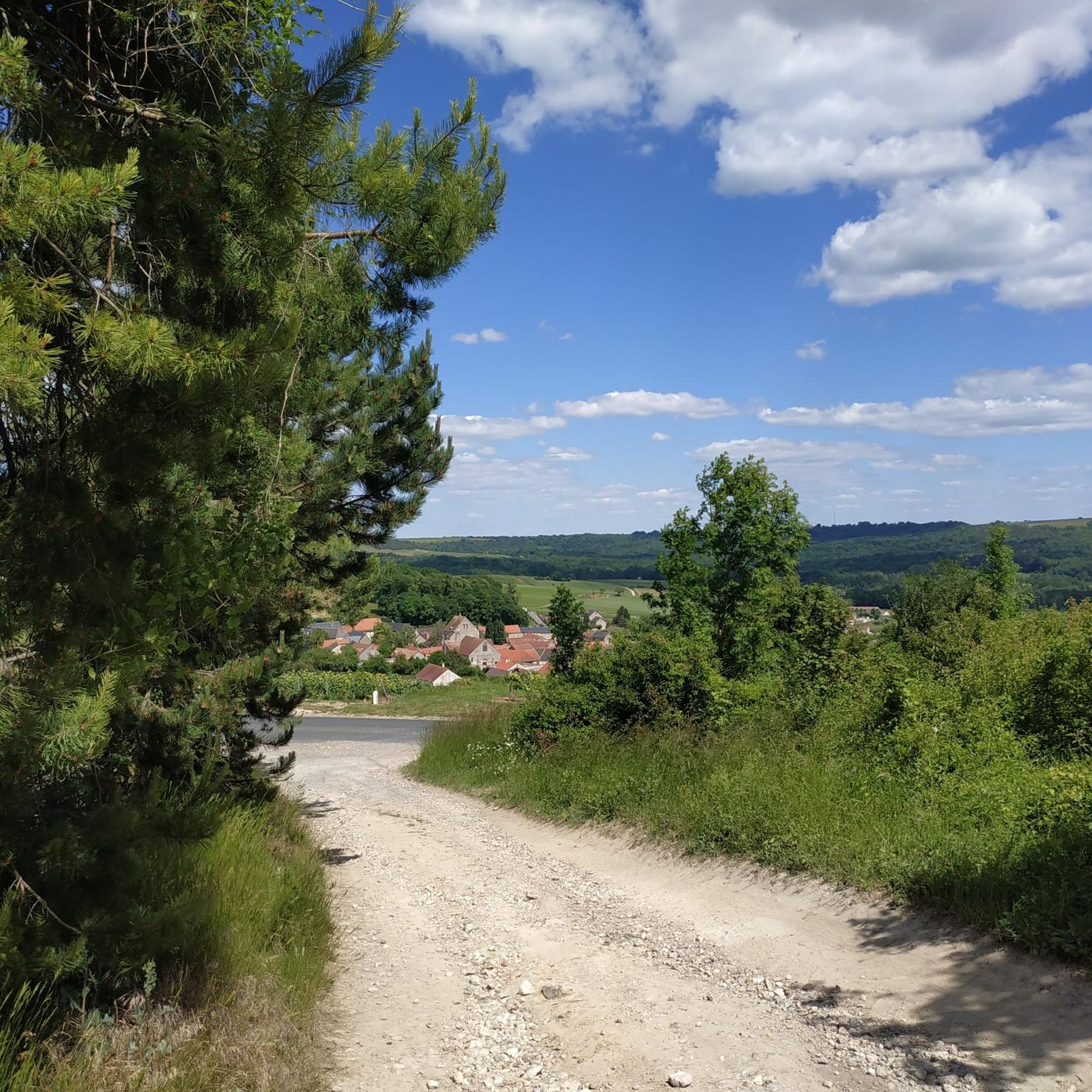
Hiking around Savigny-Sur-Ardres provides access to the varied terrain of the Marne department in France's Grand Est region. The area is characterized by the "Pelouses de la Barbarie," a ZNIEFF site featuring a valley, calcareous plateau, and rich flora. Proximity to the Montagne de Reims Regional Natural Park further expands opportunities, offering forests, vineyards, and picturesque villages. The region's topography includes gentle valleys and plateaus, suitable for different hiking experiences.
Best hiking trails around Savigny-Sur-Ardres
- The most popular hiking route…
Last updated: July 5, 2026
4.7
(7)
11
hikers
Moderate hike. Good fitness required. Easily-accessible paths. Suitable for all skill levels.
5.0
(2)
10
hikers
8.96km
02:25
120m
120m
Moderate hike. Good fitness required. Easily-accessible paths. Suitable for all skill levels.

Sign up for free
4.3
(4)
8
hikers
7.58km
02:07
140m
140m
Moderate hike. Good fitness required. Easily-accessible paths. Suitable for all skill levels.
4.3
(4)
6
hikers
11.3km
03:04
150m
150m
Moderate hike. Good fitness required. Easily-accessible paths. Suitable for all skill levels.
4.0
(2)
6
hikers
13.9km
03:42
150m
150m
Moderate hike. Good fitness required. Easily-accessible paths. Suitable for all skill levels.
Get access to more routes and recommendations from other explorers.
Sign up for free
Already have an account?
Our route recommendations are based on thousands of hikes, rides, and runs completed by other people on komoot.
Start today with a free account
Your next adventure awaits.
Login or Signup


Tips from the Community

THE STILL OF SERZY-ET-PRIN Built at the end of the 19th century, it is a typical wine heritage of our region. Property of the local section of winegrowers of Serzy-et-Prin, it was sold to the municipality for the symbolic euro in 2015. Thanks to donations it was restored in 2020 in order to be included in the tourist circuit .
2
0
Frequently Asked Questions
How many hiking trails are available around Savigny-sur-Ardres?
There are over 125 hiking routes recorded on komoot for the Savigny-sur-Ardres area. These range from easy strolls to more challenging hikes, offering diverse experiences across the region's landscapes.
What kind of terrain can I expect on hikes near Savigny-sur-Ardres?
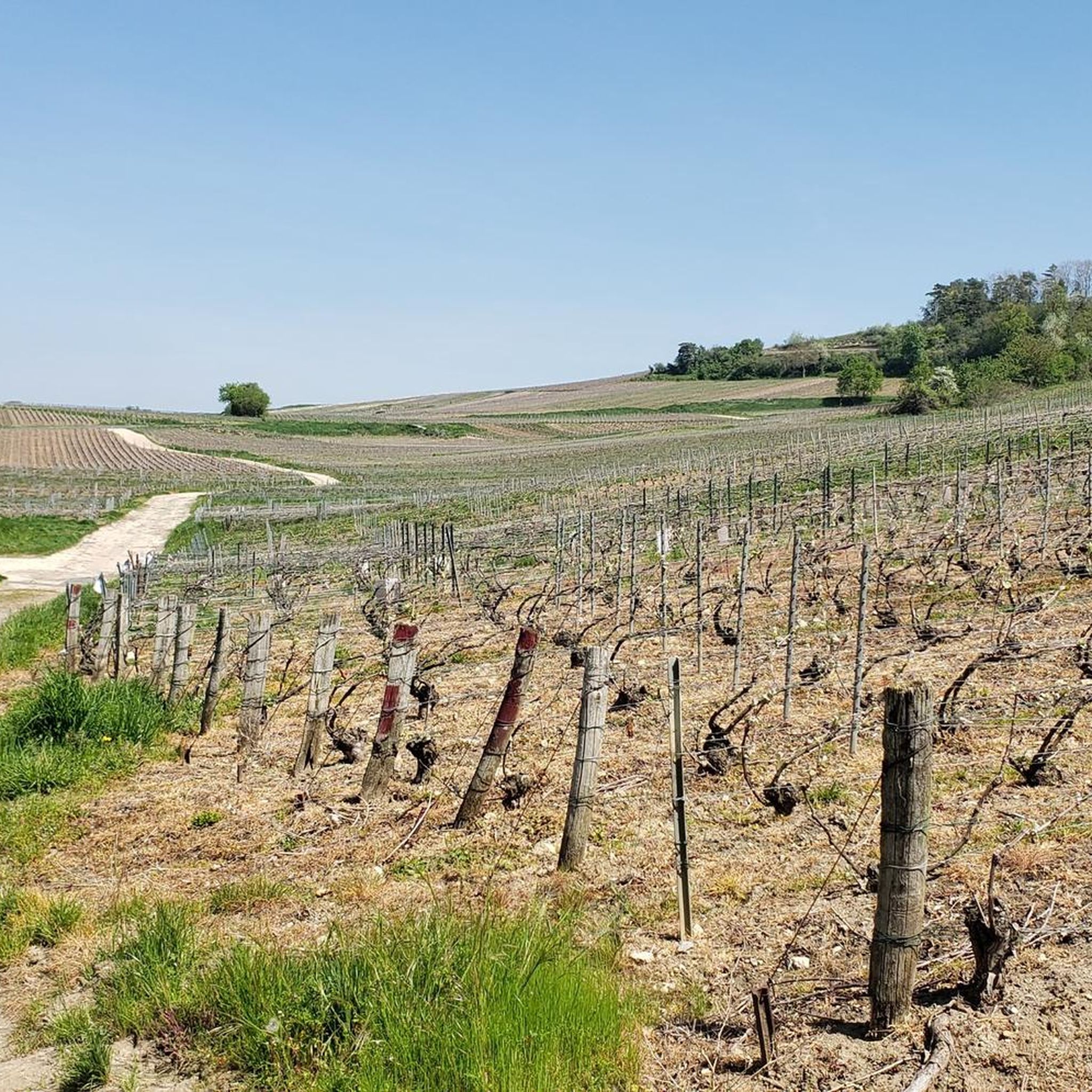
The terrain around Savigny-sur-Ardres is quite varied. You'll find gentle valleys, calcareous plateaus, and open fields, particularly within the unique "Pelouses de la Barbarie" area. Many routes also lead through woodlands and vineyards, especially as you approach the Montagne de Reims Regional Natural Park. Elevation changes are generally moderate, making it suitable for different fitness levels.
Are there any easy hiking trails suitable for beginners or casual walkers?
Yes, Savigny-sur-Ardres offers a good selection of easy trails. Approximately 43 routes are classified as easy, providing accessible options for beginners or those looking for a relaxed walk. An example of an easy route is the Chateau d'irval loop from Branscourt, which covers 4.0 miles (6.4 km) through rural landscapes.
What do other hikers enjoy most about the trails in Savigny-sur-Ardres?
The area is highly rated by the komoot community, with an average score of 4.4 stars from over 180 reviews. Hikers often praise the peaceful rural landscapes, the unique natural features like the "Pelouses de la Barbarie," and the well-maintained paths that offer a mix of open views and shaded sections.
Are there any circular hiking routes in the area?
Many of the hiking routes around Savigny-sur-Ardres are designed as circular loops, allowing you to start and end at the same point without retracing your steps. For instance, the popular Beautiful Old Station – Abandonned mills loop from Savigny-sur-Ardres is a moderate 5.1 miles (8.1 km) circular trail exploring the local countryside.
Can I bring my dog on the hiking trails?
Generally, dogs are welcome on most hiking trails in the Savigny-sur-Ardres region, especially in rural and forested areas. However, it's always advisable to keep them on a leash, particularly in nature reserves like the "Pelouses de la Barbarie" to protect local wildlife and flora, and when passing through agricultural land.
Are there any family-friendly hiking options?
Yes, the region offers several family-friendly hiking options, particularly among the easier routes. The gentle terrain and shorter distances of many trails make them suitable for families with children. Look for routes that avoid significant elevation changes and offer points of interest along the way to keep younger hikers engaged.
What natural features or landmarks can I see while hiking?
A significant natural feature is the "Pelouses de la Barbarie à Savigny-sur-Ardres," a protected area known for its diverse flora, including various orchids, and varied topography. You can also explore the broader Montagne de Reims Regional Natural Park with its forests and vineyards. For specific landmarks, consider visiting the Reims-Gueux Historic Grand Prix Circuit or the Lagery Market Hall, which are nearby attractions.
What is the best time of year to go hiking in Savigny-sur-Ardres?
The region experiences a degraded oceanic climate, with temperate summers and relatively mild winters, making it suitable for hiking year-round. Spring and autumn are particularly pleasant, offering comfortable temperatures and beautiful scenery, with wildflowers in spring and vibrant foliage in autumn. Summer is also good, though some trails might be more exposed to the sun. Winter hikes are possible, especially on clear days.
Are there any longer, more challenging hikes available?
While many routes are easy to moderate, there are a few more challenging options for experienced hikers. The komoot community has identified 5 difficult routes in the area. An example of a moderate route with more elevation is the Château de Prin – Abandonned mills loop from Faverolles-et-Coëmy, which covers 7.1 miles (11.5 km) with notable elevation gain.
Where can I find parking for the hiking trails?
Many trailheads in and around Savigny-sur-Ardres, especially those starting from villages or specific points of interest, offer designated parking areas. It's common to find parking available in the village centers or near popular starting points for loops. Specific parking information is often detailed on individual route pages on komoot.
What is the Montagne de Reims Regional Natural Park?
The Montagne de Reims Regional Natural Park is a protected area readily accessible from Savigny-sur-Ardres. It's known for its diverse landscapes, including extensive forests, rolling vineyards, and charming villages. The park offers a broader scope for exploration beyond Savigny-sur-Ardres, with numerous hiking opportunities that showcase the natural and cultural heritage of the Champagne region.
Most popular routes around Savigny-Sur-Ardres
Most popular attractions around Savigny-Sur-Ardres

Get inspired with the komoot mobile app


Explore more
Browse the best Hikes in other regions.
