The best running trails around Wüstheuterode
4.6
(319)
2,225
runners
195
runs
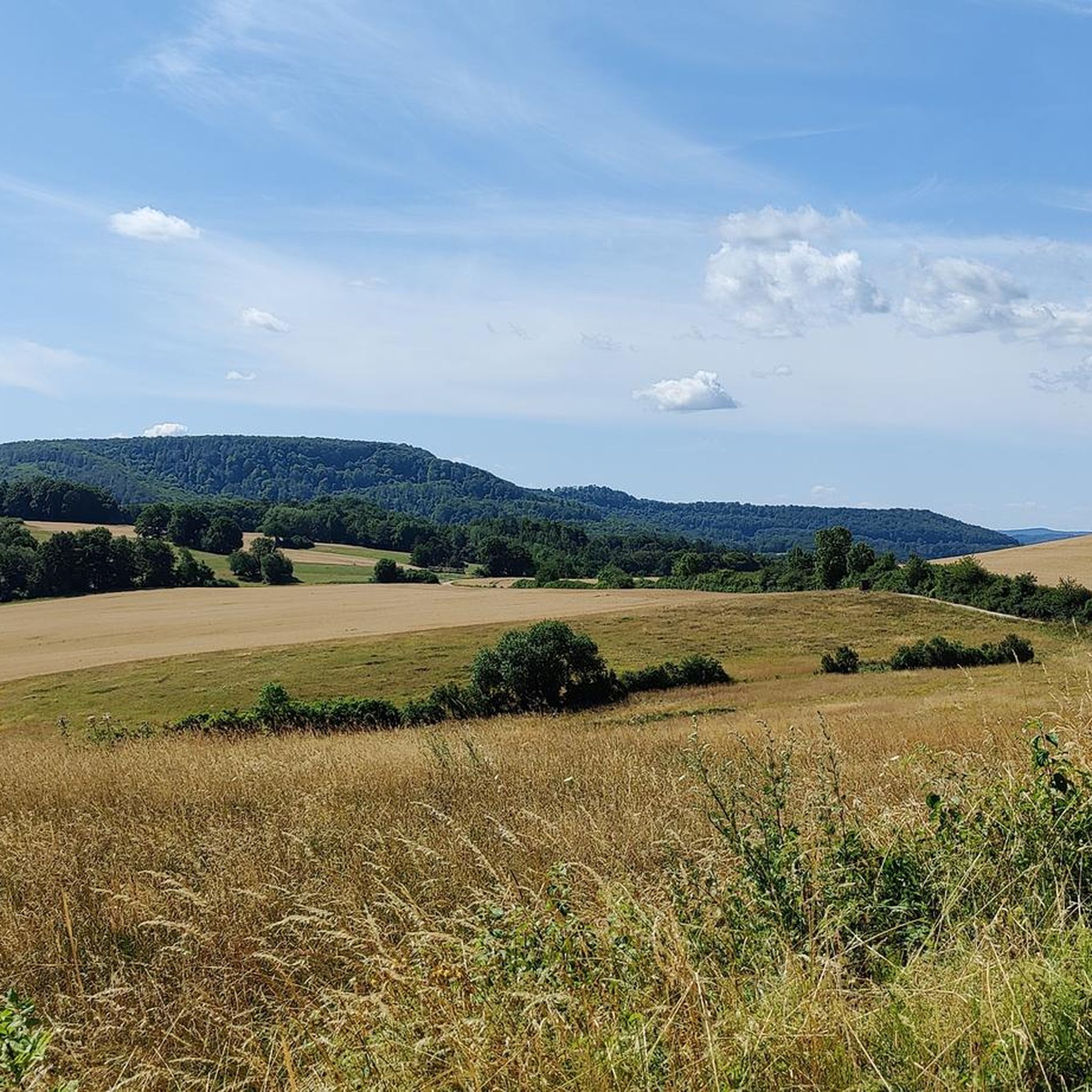
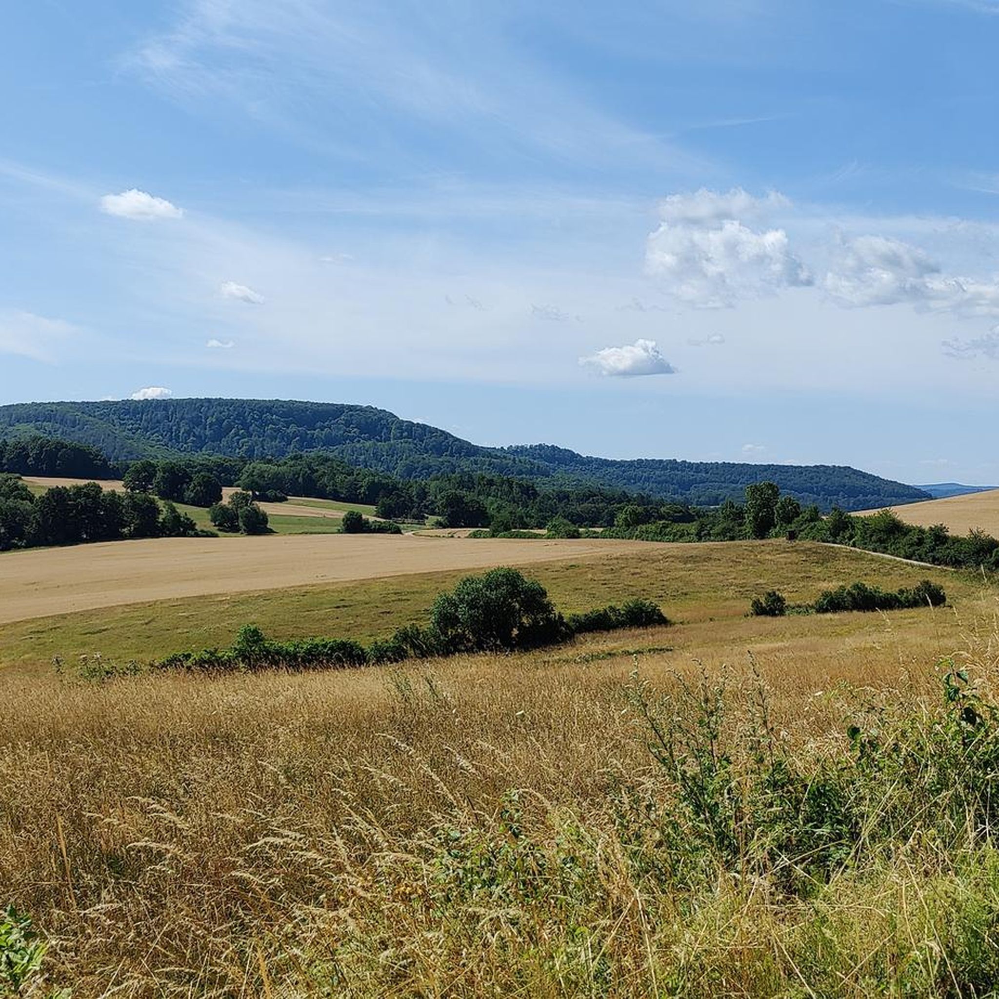
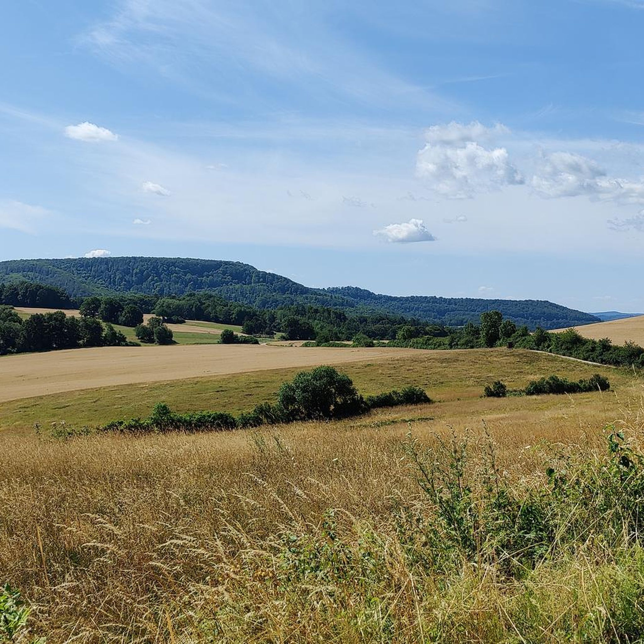
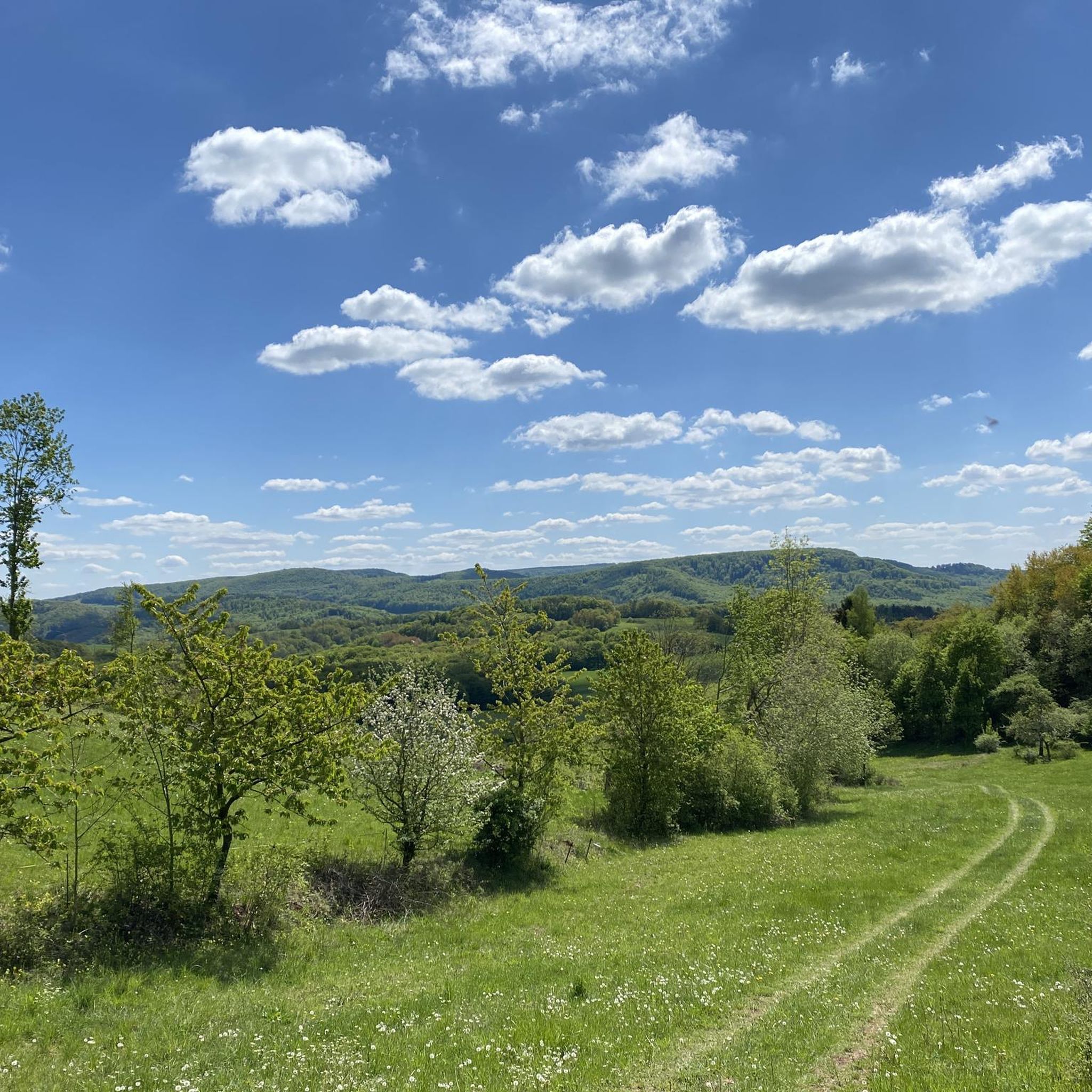
Jogging routes around Wüstheuterode traverse a diverse landscape characterized by rolling hills, lush meadows, and dense forests. The region's geographical position provides varied terrain suitable for different fitness levels. Runners can explore paths winding through valleys and along wooded hilltops, offering a natural setting for outdoor activity. The area features a network of trails, some of which are predominantly paved, while others offer more challenging ascents.
Best jogging routes around Wüstheuterode
- The most popular jogging route is Vatteröder Stein – Dietzenröder Stein loop from Dietzenrode/Vatterode, an 11.1 miles (17.9 km) trail that takes 2 hours 23 minutes to complete. This difficult route features significant elevation gain and diverse landscapes.
- Another top favourite among local runners is Running loop from Lenterode, a moderate 4.1 miles (6.6 km) path. This route winds through local fields and offers views of the surrounding countryside.
- Local runners also love the Teufelskanzel – Stalleght Oak loop from Fretterode, a 6.9 miles (11.1 km) trail leading through the Teufelskanzel (Devil's Pulpit) and offering expansive views, often completed in about 1 hour 18 minutes.
- Jogging around Wüstheuterode is defined by rolling hills, dense forests, and serene valleys. The network offers options for easy, moderate, and difficult ability levels, catering to a wide range of runners.
- The routes in Wüstheuterode are highly rated by the komoot community with an average score of 4.6 stars from over 290 reviews. More than 2200 runners have used komoot to explore Wüstheuterode's varied terrain.
Last updated: May 20, 2026
4.0
(1)
26
runners
17.9km
02:23
610m
610m
Hard run. Very good fitness required. Mostly accessible paths. Some sure footedness required.
5
runners
6.57km
00:42
100m
100m
Moderate run. Good fitness required. Mostly paved surfaces. Suitable for all skill levels.

Sign up for free
4
runners
11.1km
01:18
240m
240m
Moderate run. Good fitness required. Mostly paved surfaces. Suitable for all skill levels.
4
runners
7.91km
00:54
140m
140m
Moderate run. Good fitness required. Mostly paved surfaces. Suitable for all skill levels.
2
runners
10.5km
01:06
120m
120m
Moderate run. Good fitness required. Mostly paved surfaces. Suitable for all skill levels.
Get access to more routes and recommendations from other explorers.
Sign up for free
Already have an account?
Our route recommendations are based on thousands of hikes, rides, and runs completed by other people on komoot.
Start today with a free account
Your next adventure awaits.
Login or Signup
Tips from the Community

to admire on the Hasenwinkel circular trail and enjoy the distant view
0
0

Added to the collection: https://www.komoot.com/de-de/collection/3600632/-naturdenkmaeler-besondere-baeume-und-weitere-schaetze-der-natur
0
0

What a charming and lovely place to stop for refreshments up here on the Teufelskanzel! 👍 I really like the place and the food was delicious too.
5
0
There are plenty of places to sit at Altenstein Castle. 👍
8
0
Not only ancient history has left its mark on Altenstein Castle, but also the division of Germany. The ensemble is quite interesting.
10
0

Due to its location, the inn has a rather small menu, which is posted on the building. There are a few small dishes such as minced meat or cheese platters, soups, but often also two or three regular hot dishes that change frequently. The cuisine remains consistently regional. Prices are somewhat higher, but not excessively expensive considering the location and the effort involved in transporting the food by regular car. You can sit comfortably in the beer garden under trees and umbrellas with a view of the Teufelskanzel (Devil's Pulpit) or in the rustic inn. The restrooms are in a separate building, and the door is usually open, contrary to the signs on site. Unlike the official opening hours, the inn was open from 11:00 AM (instead of 12:00 PM) when we visited.
3
0

What a work of art! We suspect the building behind it is an art barn or something similar. The town of Asbach has spruced itself up nicely. 👍
0
0
A fantastic work of art in the already very well-kept Asbach.
0
0
Frequently Asked Questions
How many running routes are available around Wüstheuterode?
There are over 200 running routes in the Wüstheuterode area, catering to various fitness levels and preferences. These include options for easy, moderate, and difficult runs.
What kind of terrain can I expect on the jogging trails in Wüstheuterode?
The region offers a diverse landscape characterized by rolling hills, lush meadows, dense forests, and serene valleys. You'll find a mix of terrains, from predominantly paved paths suitable for casual runs to more challenging ascents requiring good sure-footedness.
Are there running routes suitable for beginners or those looking for an easy run?
Yes, Wüstheuterode offers 21 easy running routes. These trails typically feature gentler slopes and well-maintained paths, perfect for beginners or those seeking a relaxed jog through the picturesque countryside.
Can I find challenging running trails in the Wüstheuterode area?
Absolutely. For experienced runners seeking a challenge, there are 35 difficult routes available. These trails often feature significant elevation gains and diverse landscapes, such as the demanding Vatteröder Stein – Dietzenröder Stein loop from Dietzenrode/Vatterode, which covers 11.1 miles (17.9 km) with over 600 meters of elevation gain.
What are some scenic viewpoints or landmarks I can see while jogging?
Many routes offer stunning views. The Teufelskanzel (Devil's Pulpit) is a prominent natural monument offering breathtaking vistas of the horseshoe-shaped Werra loop and the Hessian mountains. Another excellent vantage point is the Schimberg Cross at Martinfeld Window, providing expansive views of the surrounding area.
Are there any circular running routes in Wüstheuterode?
Yes, many of the running trails in Wüstheuterode are circular, allowing you to start and end your run at the same point. Examples include the popular Running loop from Lenterode and the Teufelskanzel – Stalleght Oak loop from Fretterode.
What do other runners enjoy most about jogging in Wüstheuterode?
The running routes in Wüstheuterode are highly rated by the komoot community, with an average score of 4.6 stars from over 290 reviews. Runners often praise the diverse landscapes, the well-maintained paths, and the rewarding scenic views found along the trails.
Are there any lakes or natural monuments near the running paths?
Yes, you can find several natural attractions. The Bruchteiche Ponds and Large and Small Bruchteich Ponds offer serene waterscapes. Additionally, the Neun Brunnen Park and Springs is a notable natural monument worth exploring.
Can I find places to rest or get refreshments along the trails?
Some routes pass by or near huts and inns. For example, the Mountain hut & inn Teufelskanzel is located near the Teufelskanzel viewpoint, offering a chance to pause and refresh. The Iberghaus is another option for refreshments in the wider area.
What is the best time of year to go running in Wüstheuterode?
Wüstheuterode's diverse natural landscapes make it appealing for running throughout much of the year. Spring and autumn offer pleasant temperatures and vibrant scenery. Summer provides lush green surroundings, while winter can offer unique, quiet runs, though some paths might require more careful footing.
Are there any running routes that start from Fretterode or Schönhagen?
Yes, there are several excellent running loops originating from nearby villages. You can explore the Running loop from Fretterode, a moderate 7.9 km trail, or the Running loop from Schönhagen, a moderate 6.4 km path.
Most popular attractions around Wüstheuterode

Get inspired with the komoot mobile app


Explore more
Browse the best Running Trails & Routes in other regions.
