The best walks and hikes around Saint-Urcisse
4.4
(49)
337
hikers
58
hikes
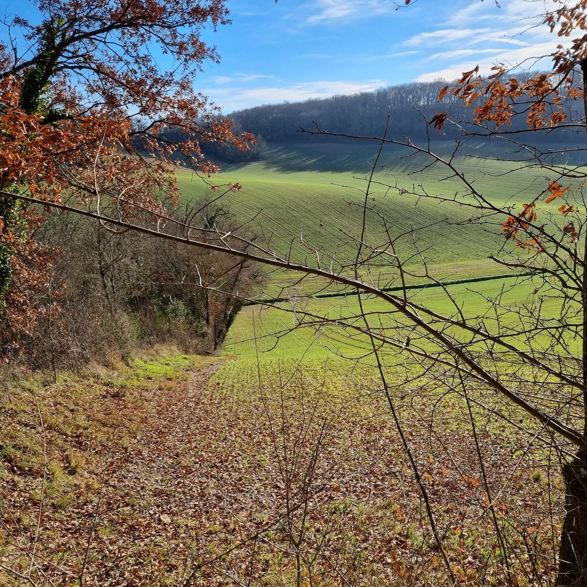
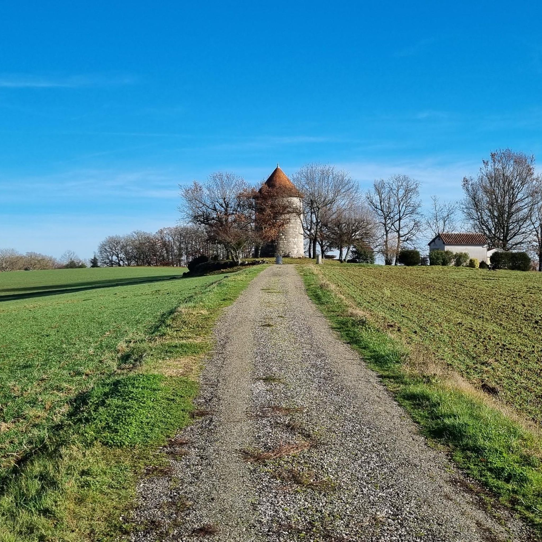
Hiking around Saint-Urcisse offers diverse landscapes, from dense woodlands to elevated plateaus. The region features varied terrain, including the Forêt de Grésigne and views over the Vère valley. Trails also traverse areas with red ochre cliffs and follow waterways like the Tescou river. Saint-Urcisse is recognized for its natural heritage, including orchids, and is designated as a Natura 2000 site.
Best hiking trails around Saint-Urcisse
- The most popular hiking route is Puymirol loop from Puymirol, a 4.6 miles (7.3…
Last updated: May 12, 2026
5.0
(2)
33
hikers
7.32km
02:06
170m
170m
Moderate hike. Good fitness required. Easily-accessible paths. Suitable for all skill levels.
5.0
(1)
15
hikers
14.3km
04:00
280m
280m
Moderate hike. Good fitness required. Easily-accessible paths. Suitable for all skill levels.

Sign up for free
3.0
(1)
10
hikers
7.48km
01:53
10m
10m
Easy hike. Great for any fitness level. Easily-accessible paths. Suitable for all skill levels.
6
hikers
9.29km
02:35
170m
170m
Moderate hike. Good fitness required. Easily-accessible paths. Suitable for all skill levels.
5.0
(1)
3
hikers
21.8km
06:00
360m
360m
Hard hike. Very good fitness required. Easily-accessible paths. Suitable for all skill levels.
Get access to more routes and recommendations from other explorers.
Sign up for free
Already have an account?
Our route recommendations are based on thousands of hikes, rides, and runs completed by other people on komoot.
Start today with a free account
Your next adventure awaits.
Login or Signup
Tips from the Community

Perched on a rocky spur overlooking the Séoune Valley, Puymirol is a fortified town founded in 1246, making it the oldest in Lot-et-Garonne. Its narrow streets lined with white stone houses and its central square surrounded by arcades reflect its rich medieval past.
0
0

Totally level cycle path, without any difference in height, all along the canal among rows of plane trees and oaks.
3
0

The first thing I noticed positively, from here the bike path along the canal is much better from the surface.
4
0
Frequently Asked Questions
How many hiking trails are available around Saint-Urcisse?
There are over 60 hiking routes around Saint-Urcisse, catering to various skill levels. You'll find a good mix, with 20 easy trails, 39 moderate options, and 1 challenging route for experienced hikers.
Are there any easy hiking trails suitable for beginners or a relaxed stroll?
Yes, Saint-Urcisse offers 20 easy hiking trails. An excellent option for a relaxed stroll is the Canal Bridge over the Barguelonne – Canal des Deux Mers loop from Golfech. This 7.7 km (4.8 miles) route takes about 1 hour 57 minutes and leads through pleasant riparian scenery along the Canal des Deux Mers.
What kind of landscapes can I expect to see while hiking in Saint-Urcisse?
The region around Saint-Urcisse boasts diverse landscapes. You can expect to hike through dense woodlands like the Forêt de Grésigne, explore elevated plateaus offering expansive views over the Vère valley, and discover unique geological features such as the red ochre cliffs near Larroque. Trails also follow picturesque waterways like the Tescou river and lead to areas with accessible caves.
Are there any circular walks available in Saint-Urcisse?
Yes, many of the trails around Saint-Urcisse are circular. For example, the Puymirol loop from Puymirol is a moderate 7.3 km (4.6 miles) route that takes about 2 hours 6 minutes, offering varied terrain and countryside views. Another popular circular option is the Notre-Dame Church loop from Tayrac, which is a longer 14.3 km (8.9 miles) moderate path.
What are some notable natural features or landmarks to look out for on hikes?
Hikers can discover several natural and historical landmarks. Keep an eye out for the striking red ochre cliffs, sometimes called 'Terres Rouges de Larroque,' which offer visually dramatic paths. The region is also a Natura 2000 site, recognized for its diverse flora, including significant orchid populations. For a historical touch, the Menhir de la Croix-du-Diable loop from Tayrac will lead you past an ancient standing stone.
What do other hikers say about the trails in Saint-Urcisse?
The hiking trails in Saint-Urcisse are highly regarded by the komoot community, holding an average rating of 4.4 out of 5 stars from over 40 reviews. More than 300 hikers have used komoot to explore the varied terrain, often praising the diverse landscapes and well-maintained paths.
Are there any longer or more challenging hikes for experienced trekkers?
Yes, for those seeking a more challenging experience, there is at least one difficult route available. The Garonne Lateral Canal loop from Lamagistère is a demanding 21.8 km (13.5 miles) trail that typically takes around 6 hours to complete, offering a significant elevation gain.
Are there any attractions or points of interest near the hiking routes?
Beyond the natural beauty, the area offers cultural attractions. The magnificent fortified medieval village of Puycelsi is a significant draw, with its historic ramparts providing superb panoramic vistas. Nearby, the picturesque village of Larroque, with its traditional stone houses, is also worth exploring. You might also encounter highlights like the Suspension bridge over the Garonne.
What is the best time of year to go hiking in Saint-Urcisse?
While hiking is enjoyable year-round, spring and autumn offer pleasant temperatures and vibrant scenery. During warmer months, routes that pass through shaded forest sections, such as parts of the 'Voie Verte Bessières-Bressols' (also suitable for walkers), can be particularly comfortable.
Are there any trails that follow waterways or canals?
Yes, the region's natural network of waterways, including the Tescou river and various streams, enriches the hiking experience. The Canal Bridge over the Barguelonne – Canal des Deux Mers loop from Golfech is a prime example, offering riparian scenery along the Canal des Deux Mers. You can also find sections along the Garonne Lateral Canal.
Are there any places to stop for refreshments or a break along the trails?
While specific trailside cafes might vary, the region has amenities. For instance, the Poule à Vélo Inn is a highlight in the area that could serve as a refreshment stop, depending on your chosen route. Many villages along the routes will also offer local establishments.
Most popular attractions around Saint-Urcisse

Get inspired with the komoot mobile app


Explore more
Browse the best Hikes in other regions.
