The best running trails around Mont-Saint-Sulpice
4.0
(32)
795
runners
114
runs
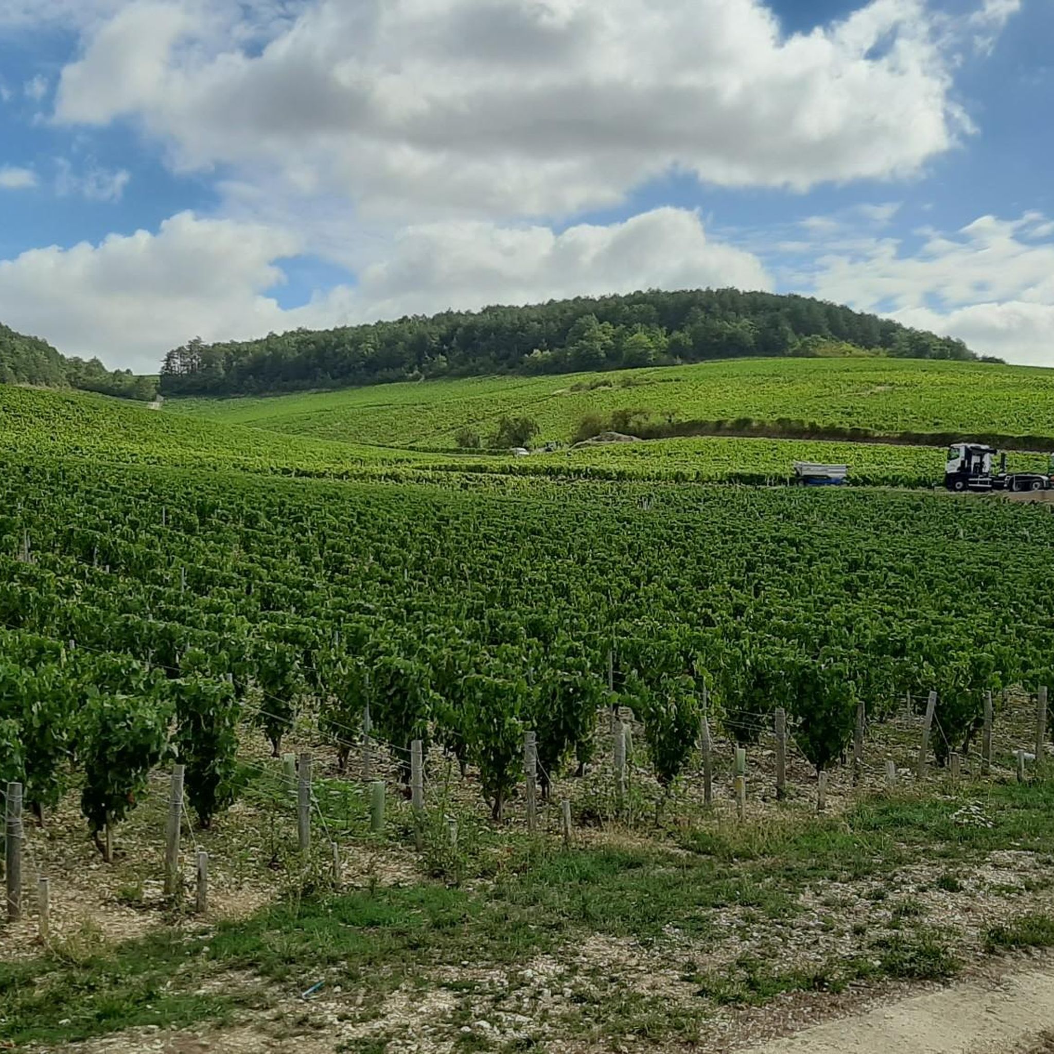
Jogging routes around Mont-Saint-Sulpice offer varied terrain within the Yonne department of Burgundy-Franche-Comté. The landscape features an undulating topography, with elevations ranging from 87 meters to 192 meters, providing a mix of flatter paths and gentle inclines. Runners can explore woodlands such as the Pontigny and Othe forests, as well as open meadows and orchards. This region provides diverse running experiences across its natural features.
Best jogging routes around Mont-Saint-Sulpice
- The most popular jogging route is Canal de Bourgogne loop…
Last updated: July 4, 2026
23
runners
14.8km
01:41
10m
10m
Moderate run. Good fitness required. Mostly accessible paths. Some sure footedness required.
18
runners
6.84km
00:43
50m
50m
Moderate run. Good fitness required. Mostly paved surfaces. Suitable for all skill levels.

Sign up for free
7
runners
8.73km
00:55
50m
50m
Moderate run. Good fitness required. Mostly paved surfaces. Suitable for all skill levels.
6
runners
14.3km
01:38
70m
70m
Moderate run. Good fitness required. Mostly accessible paths. Some sure footedness required.
4
runners
12.2km
01:16
40m
40m
Moderate run. Good fitness required. Mostly paved surfaces. Suitable for all skill levels.
Get access to more routes and recommendations from other explorers.
Sign up for free
Already have an account?
Our route recommendations are based on thousands of hikes, rides, and runs completed by other people on komoot.
Start today with a free account
Your next adventure awaits.
Login or Signup



Tips from the Community

Good news: the Migennes Esnon section of the Burgundy canal, stony and not very passable, has just been completed on the other bank by a magnificent section of perfectly asphalted cycle route! Much easier to go from Migennes (SNCF station) to BRIENON
1
0
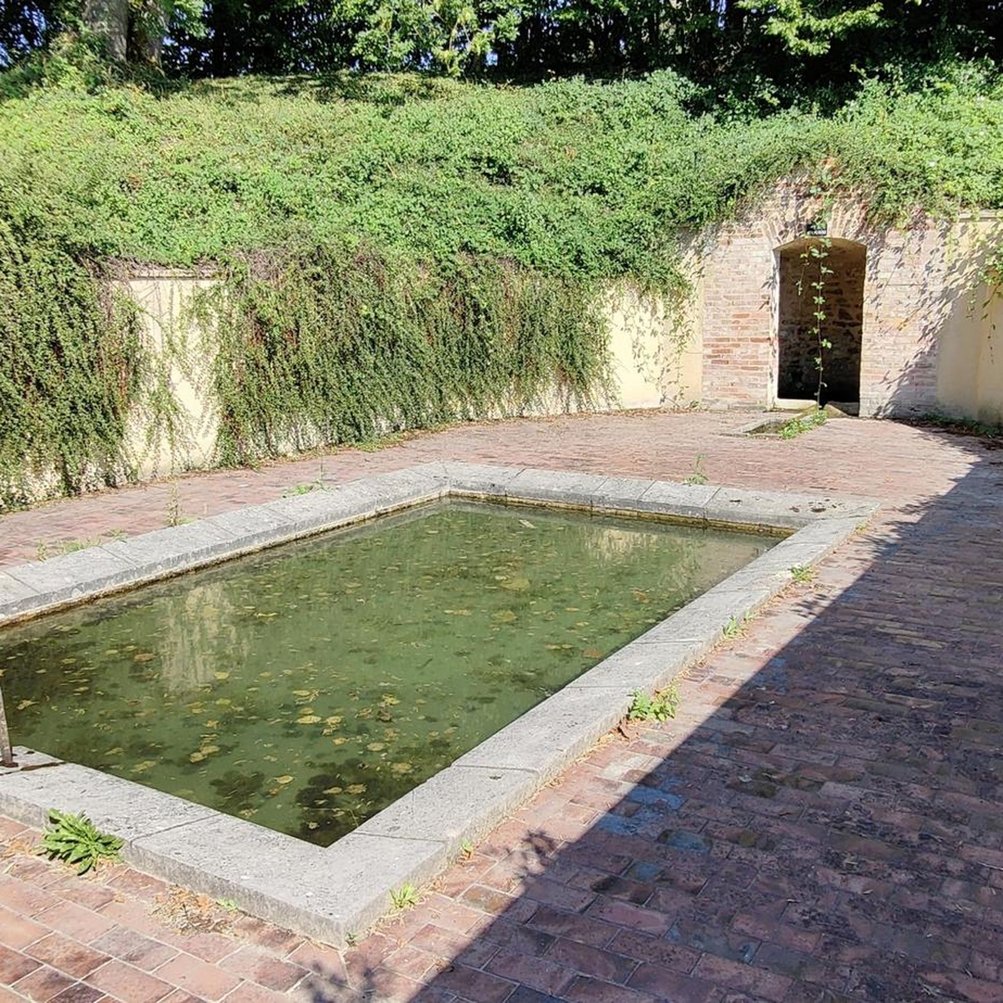
The Burgundy Canal, which begins at Migennes, linked the Seine basin to that of the Rhône via the Saône. The section between Migennes and Tonnerre is quite pleasant and allows you to visit many small towns. Be careful of the poor surfacing at the beginning of the route... Brienon is an interesting stopover: old port, mills, Renaissance church, castle, very beautiful 18th century wash house. Swimming, camping...
0
0

The Burgundy Canal has 189 locks, this one is lock n°1!
1
0

Nice for a break.
0
0
From Migennes the path starts a bit uncomfortable, but gets better and better.
0
0
Frequently Asked Questions
How many running routes are available in Mont-Saint-Sulpice?
There are over 100 jogging routes around Mont-Saint-Sulpice, offering a wide variety of experiences for runners of all levels. The komoot community has explored these trails over 700 times, with routes ranging from easy to difficult.
What kind of terrain can I expect on the jogging routes around Mont-Saint-Sulpice?
The region offers a diverse landscape for running. You'll find an undulating topography with elevations ranging from 87 to 192 meters, providing a mix of flatter paths and gentle inclines. Routes often traverse woodlands like the Pontigny and Othe forests, open meadows, agricultural lands, and orchards. Some trails also follow village streets or paths along canals, such as the Canal de Bourgogne.
Are there any easy jogging routes for beginners in Mont-Saint-Sulpice?
Yes, there are several easy jogging routes suitable for beginners. While most routes are classified as moderate, you can find 7 routes specifically marked as easy. These typically feature less elevation gain and smoother paths, perfect for a relaxed run.
What are the more challenging running trails in the Mont-Saint-Sulpice area?
For those seeking a greater challenge, Mont-Saint-Sulpice offers 11 routes classified as difficult. These trails often incorporate more significant elevation changes, particularly around 'the Mont' itself, which culminates at 191 meters. The varied terrain, including paths through forests and valleys, can provide a more strenuous workout.
Are there circular running routes available?
Yes, many of the jogging routes in Mont-Saint-Sulpice are circular, allowing you to start and finish at the same point. For instance, the popular Canal de Bourgogne loop from Esnon is a great example of a circular route. The 'Par Mont et par Vaux' circuit, mentioned in local information, also highlights the prevalence of loop trails in the area.
What interesting landmarks or viewpoints can I see while jogging in Mont-Saint-Sulpice?
Many routes offer scenic views and pass by historical points of interest. The Mont's peak provides commanding views over the surrounding plains, including the Pontigny forest and the Pays d'Othe. You might also encounter historical landmarks such as the Saint-Sulpice fountain, a washhouse, or the distinctive silhouette of the local church. For specific attractions, consider exploring highlights like the Canal de Bourgogne at Brienon-sur-Armançon or the Cycle path along the Yonne in Chemilly-sur-Yonne.
What do other runners appreciate about the trails in Mont-Saint-Sulpice?
The jogging routes in Mont-Saint-Sulpice are highly rated by the komoot community, with an average score of 4.0 stars from over 20 reviews. Runners often praise the varied terrain, which includes peaceful woodlands, open fields, and gentle hills. The mix of natural beauty and well-maintained paths makes for an enjoyable running experience.
Are the jogging routes in Mont-Saint-Sulpice suitable for families?
Yes, many of the routes are suitable for families, especially the easier and moderate trails that feature less challenging terrain. The diverse landscape with forests and open spaces provides an engaging environment for all ages. Look for routes with minimal elevation gain and well-defined paths for a family-friendly outing.
Can I bring my dog on the running trails?
Generally, dogs are welcome on many of the outdoor trails in the Mont-Saint-Sulpice area, especially in natural settings like forests and open fields. However, it's always advisable to keep your dog on a leash, particularly in agricultural areas or near livestock, and to check for any specific local regulations or signage on individual routes.
Is there parking available near the jogging routes?
Yes, parking is typically available in the villages and towns that serve as starting points for many routes. For example, routes like the Running loop from Rebourseaux or the Running loop from Héry often have convenient parking options nearby, usually in village squares or designated public parking areas.
What is the best time of year to go jogging in Mont-Saint-Sulpice?
Mont-Saint-Sulpice offers good jogging conditions throughout much of the year. Spring and autumn provide pleasant temperatures and beautiful scenery with blooming flowers or vibrant foliage. Summer can be enjoyable, especially on shaded forest paths, but it's best to run in the mornings or evenings to avoid the midday heat. Winter runs are also possible, though some paths might be muddy or require appropriate gear.
Are there any routes that offer a mix of natural beauty and historical interest?
Absolutely. The region's trails often weave through both natural landscapes and areas with historical significance. The 'Par Mont et par Vaux' circuit, for instance, takes you through forests and meadows while also passing by historical elements like the Saint-Sulpice fountain and old washhouses. Many routes will allow you to experience the natural charm of the valleys and forests alongside glimpses of local heritage.
Most popular routes around Mont-Saint-Sulpice
Most popular attractions around Mont-Saint-Sulpice

Get inspired with the komoot mobile app


Explore more
Browse the best Running Trails & Routes in other regions.
