The best walks and hikes around Monthelon
4.5
(755)
4,161
hikers
248
hikes
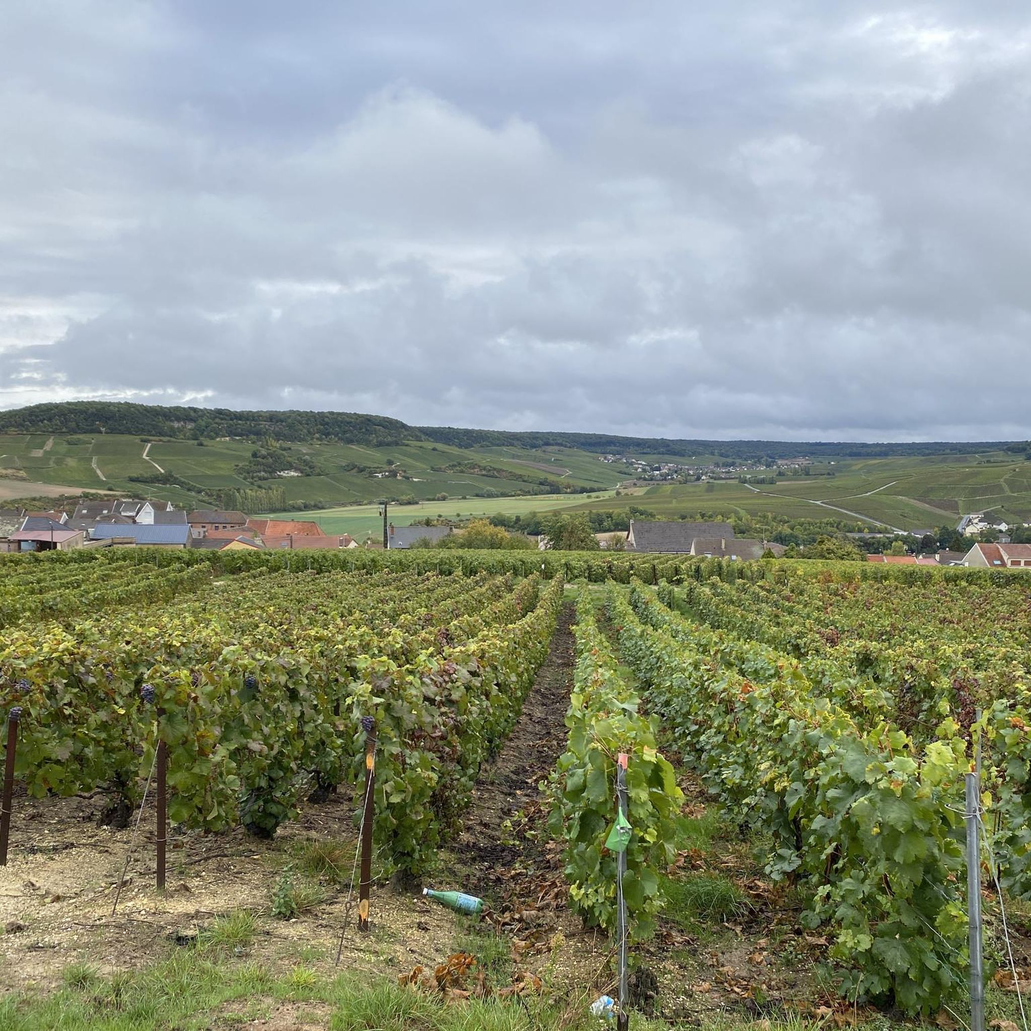
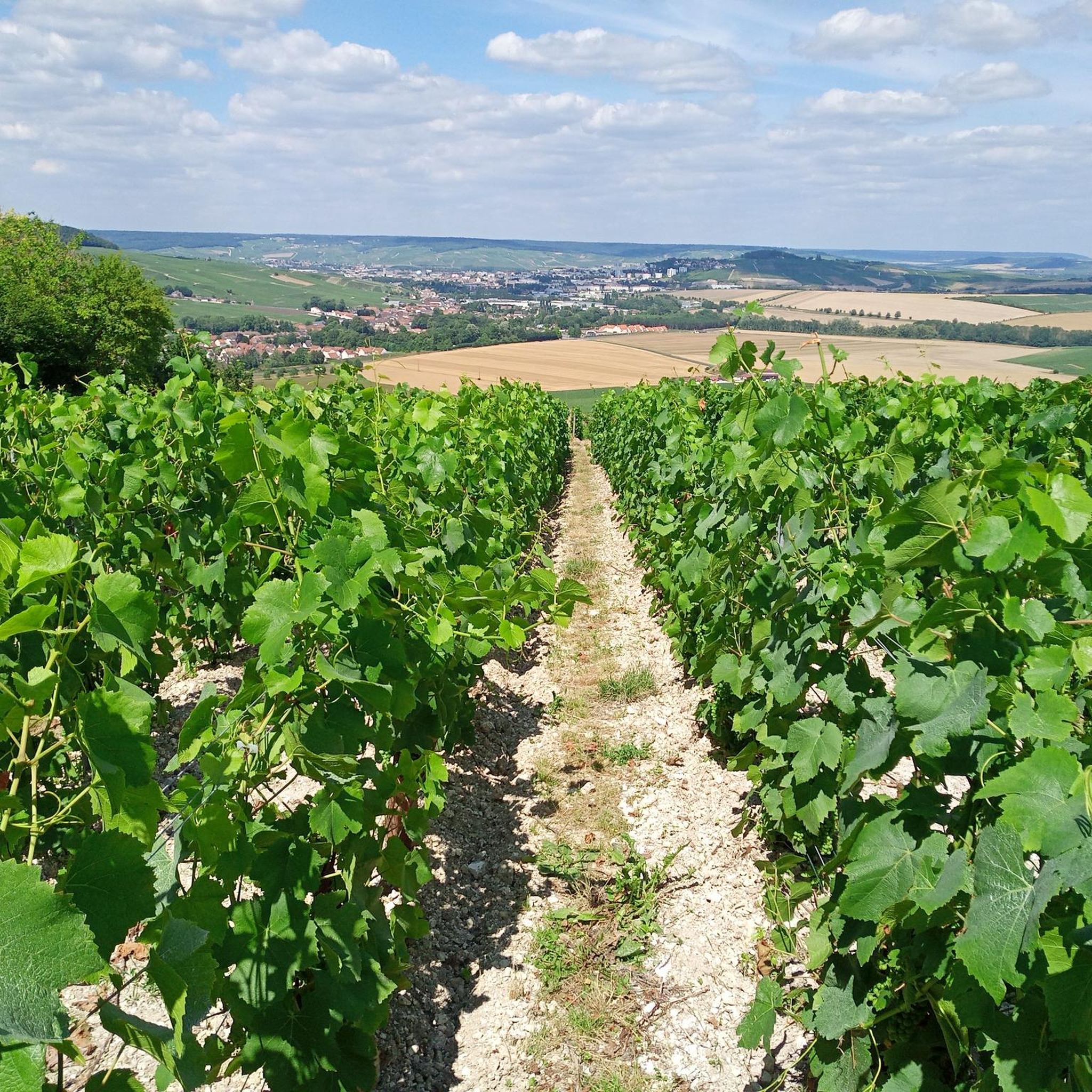
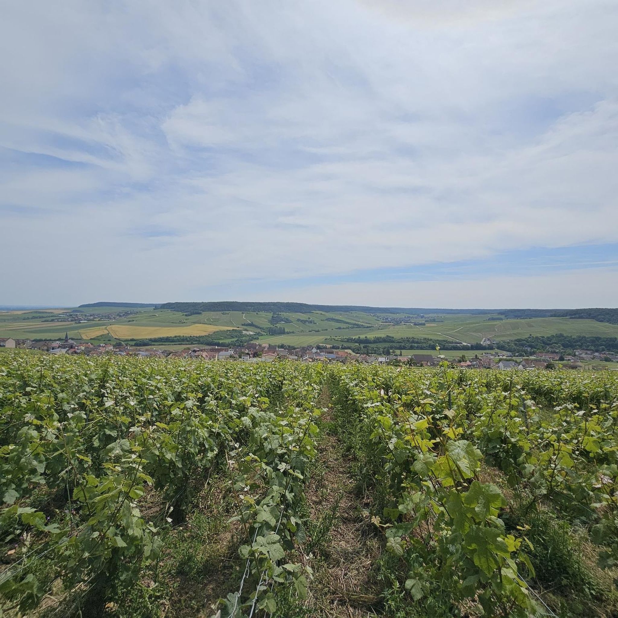
Hiking around Monthelon in the Marne region of France offers routes through rolling hills and extensive vineyards, characteristic of the Champagne wine region. The landscape is shaped by the Marne Valley, providing elevated viewpoints and scenic paths. Trails often traverse agricultural areas and connect to historic villages.
Best hiking trails around Monthelon
- The most popular hiking route is Moslins and the South Epernay Hills Trail, a 7.1 miles (11.5 km) trail that takes 3 hours 15 minutes to complete.…
Last updated: May 12, 2026
3
hikers
11.5km
03:15
250m
250m
Moderate hike. Good fitness required. Easily-accessible paths. Suitable for all skill levels.
4.6
(12)
56
hikers
7.32km
02:02
130m
130m
Moderate hike. Good fitness required. Easily-accessible paths. Suitable for all skill levels.

Sign up for free
3.0
(1)
7
hikers
6.78km
01:55
150m
150m
Easy hike. Great for any fitness level. Easily-accessible paths. Suitable for all skill levels.
4.0
(1)
6
hikers
6.28km
01:46
130m
130m
Easy hike. Great for any fitness level. Easily-accessible paths. Suitable for all skill levels.
5.0
(1)
4
hikers
8.97km
02:25
110m
110m
Moderate hike. Good fitness required. Easily-accessible paths. Suitable for all skill levels.
Get access to more routes and recommendations from other explorers.
Sign up for free
Already have an account?
Our route recommendations are based on thousands of hikes, rides, and runs completed by other people on komoot.
Start today with a free account
Your next adventure awaits.
Login or Signup


Tips from the Community

Small church on a hill in the middle of vineyards - not to be missed!
0
0

Very nice idea - this pergola.
1
0

Possibility of picnicking nearby with a view of the church and the valley
0
0

A beautiful wall to hurt yourself on, but life is worth it.
1
0

Great view over the vineyards and to Épernay, unfortunately the church is rarely open 🔓
3
0

In the middle of a hilly dream landscape, it rises majestically amidst the slopes covered with vines: The church, built in Romanesque style and dedicated to Saint Martin, is a great eye-catcher from afar.
3
0

A point that has a view of Cramant, it has some chairs and benches to rest on, as well as an information board.
1
0
A place with a view of the hills and the vineyards, without shade shelter or picnic table.
0
0
Frequently Asked Questions
How many hiking trails are available around Monthelon?
There are over 200 hiking routes available around Monthelon, offering a wide range of options for exploring the Champagne region. These trails cater to various preferences, from leisurely strolls through vineyards to more challenging ascents with panoramic views.
What kind of landscape can I expect to see while hiking around Monthelon?
Hiking around Monthelon immerses you in the quintessential Champagne landscape. You'll traverse rolling hills covered with extensive vineyards, offering extraordinary views of the Marne Valley. The terrain often includes paths through agricultural areas and connects charming historic villages.
What are the typical difficulty levels for hiking trails near Monthelon?
The hiking trails near Monthelon offer a good mix of difficulty levels. You'll find over 110 easy routes, more than 120 moderate trails, and a few more challenging options. This variety ensures there's something for everyone, from beginners to experienced hikers.
Are there any family-friendly hiking options in Monthelon?
Yes, Monthelon offers several family-friendly hiking options, particularly among the easy-rated trails. These routes often feature gentle gradients and scenic paths through vineyards and local countryside, perfect for a leisurely outing with children. For example, the Saint Martin's Church – Saint-Martin Church of Chavot loop from Monthelon is an easy 4.3-mile trail suitable for families.
What do other hikers enjoy the most about hiking in Monthelon?
The hiking experience in Monthelon is highly rated by the komoot community, with an average score of 4.5 stars from over 700 reviews. Hikers frequently praise the stunning vineyard views, the peaceful atmosphere of the Marne Valley, and the well-maintained paths that allow for immersive exploration of the Champagne region's unique landscape.
Are there any circular walks available around Monthelon?
Yes, many of the trails around Monthelon are designed as circular walks, allowing you to start and end your hike in the same location. This is ideal for convenience, especially if you're driving. An example is the View of the vineyards – Belvédère de Cramant loop from Cuis, which offers panoramic views on a moderate 4.7-mile loop.
What historical or cultural attractions can I see along the hiking trails?
While hiking around Monthelon, you can encounter significant historical and cultural sites. The region is home to the famous Abbaye de Hautvillers, considered the birthplace of Champagne, which you can visit for free. Additionally, the nearby Épernay features the renowned Avenue de Champagne, where you can explore historic Champagne houses. You might also pass by local churches and charming village architecture.
What is the best time of year to go hiking in Monthelon?
The best time to go hiking in Monthelon is generally from spring through autumn. During these seasons, the weather is pleasant, and the vineyards are vibrant – green in spring and summer, and golden in autumn. This allows for comfortable exploration and offers the most picturesque views of the Champagne landscape.
Are there opportunities to combine hiking with wine tasting or vineyard visits?
Absolutely. Monthelon is situated in the heart of the Champagne region, making it perfect for combining hiking with cultural and gastronomic experiences. Many trails wind directly through vineyards, and you'll find numerous Champagne houses in nearby villages like Épernay, offering tours and tastings. This allows for a unique blend of outdoor activity and regional heritage.
Are dogs allowed on the hiking trails around Monthelon?
Many hiking trails in the French countryside, including those around Monthelon, are generally dog-friendly, especially if your dog is well-behaved and kept on a leash. However, it's always advisable to check local signage, particularly when passing through private vineyards or agricultural areas, to ensure compliance with any specific regulations.
What are some notable viewpoints or natural features to look out for?
The primary natural feature to look out for is the expansive Marne Valley, which offers breathtaking views from elevated points. The rolling hills covered in vineyards, particularly in areas like the Côte des Blancs, provide continuous scenic beauty. Specific ascents like Vertfeuillage at Vertus or the Côte d'Oger also offer memorable panoramas of the Champagne wine country.
Is public transport available to reach hiking trailheads near Monthelon?
While Monthelon itself is a smaller commune, the broader Champagne region has some public transport options. For specific trailheads, especially those in more rural vineyard areas, having a car might offer more flexibility. However, you can often reach larger towns like Épernay by train, and from there, local buses or taxis might connect to some starting points. It's recommended to check local transport schedules for your specific route.
Most popular routes around Monthelon
Most popular attractions around Monthelon

Get inspired with the komoot mobile app


Explore more
Browse the best Hikes in other regions.
