The best running trails around Zarpen
4.4
(1307)
15,691
runners
485
runs
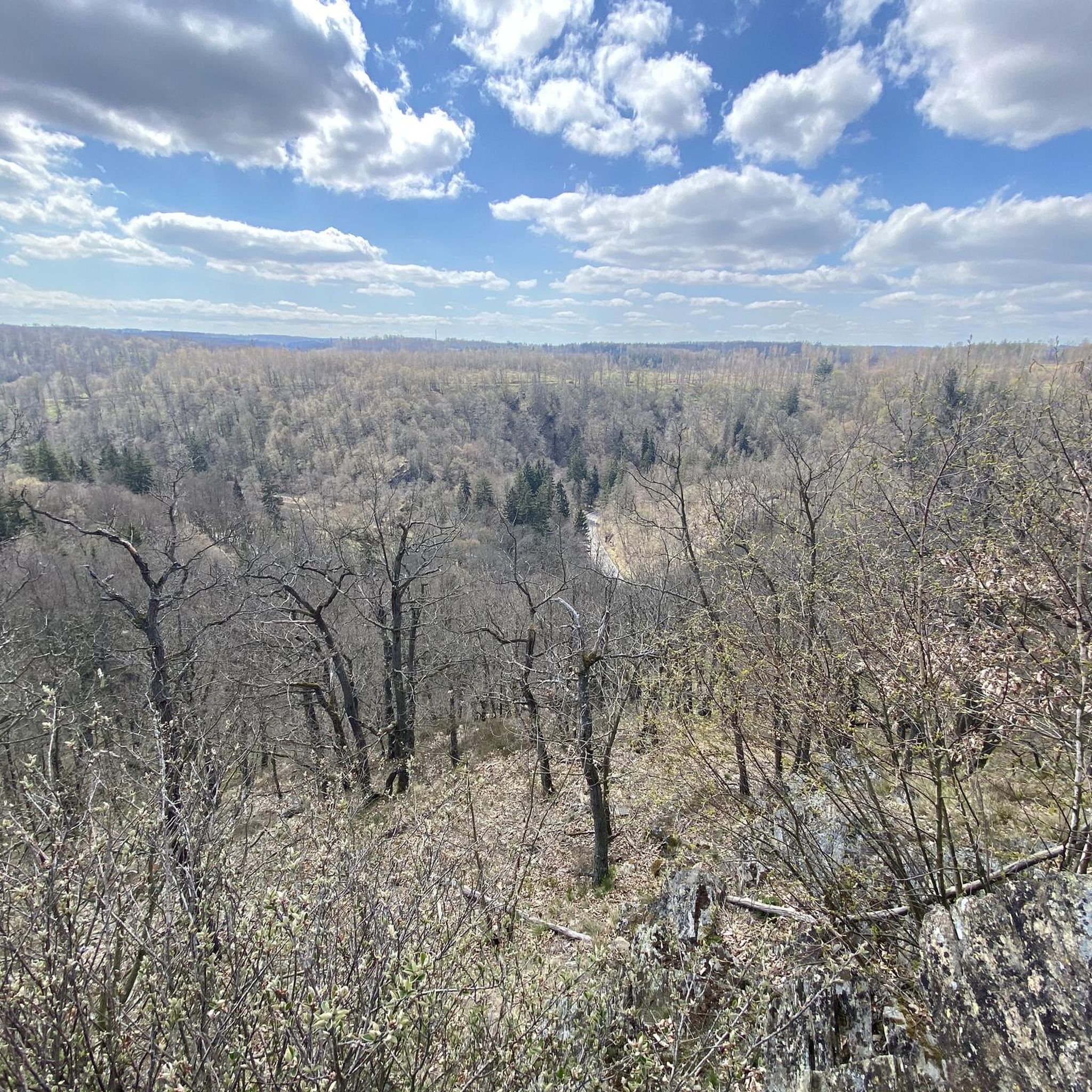
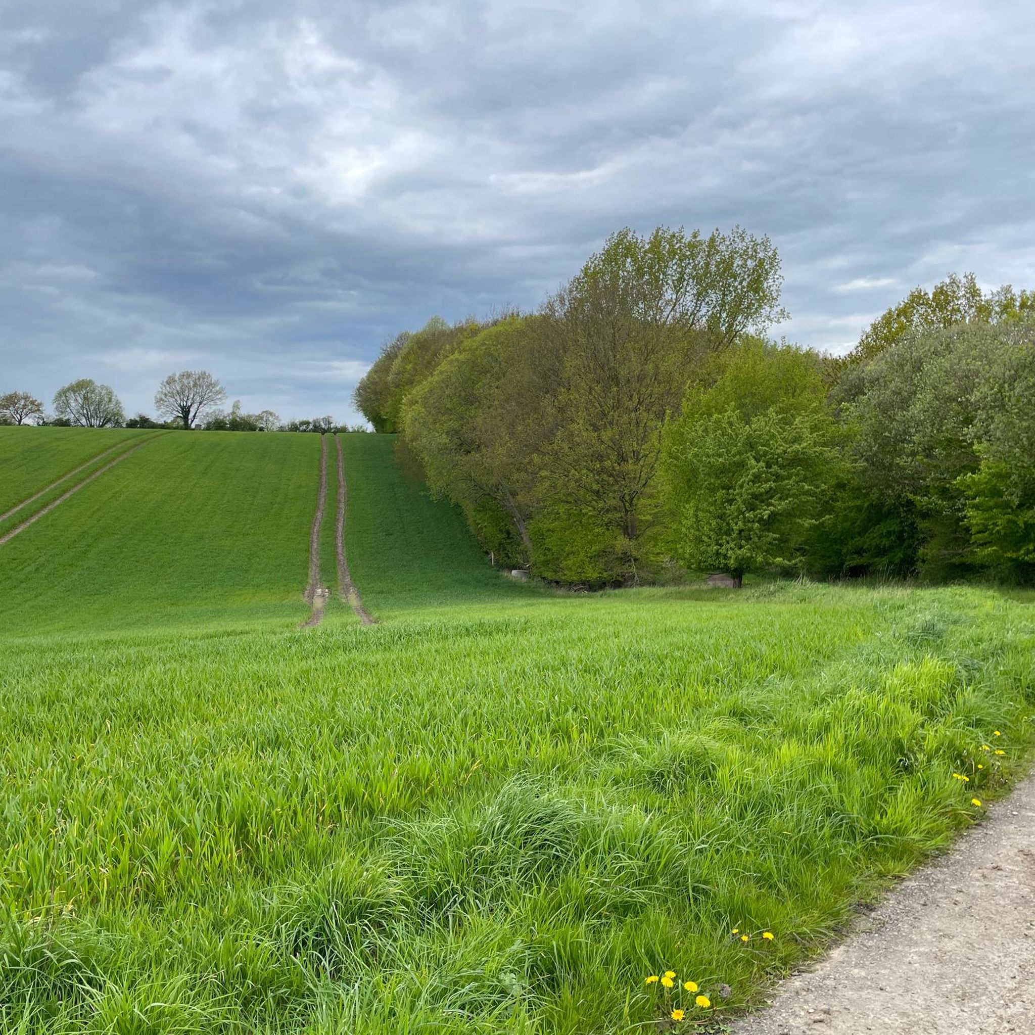
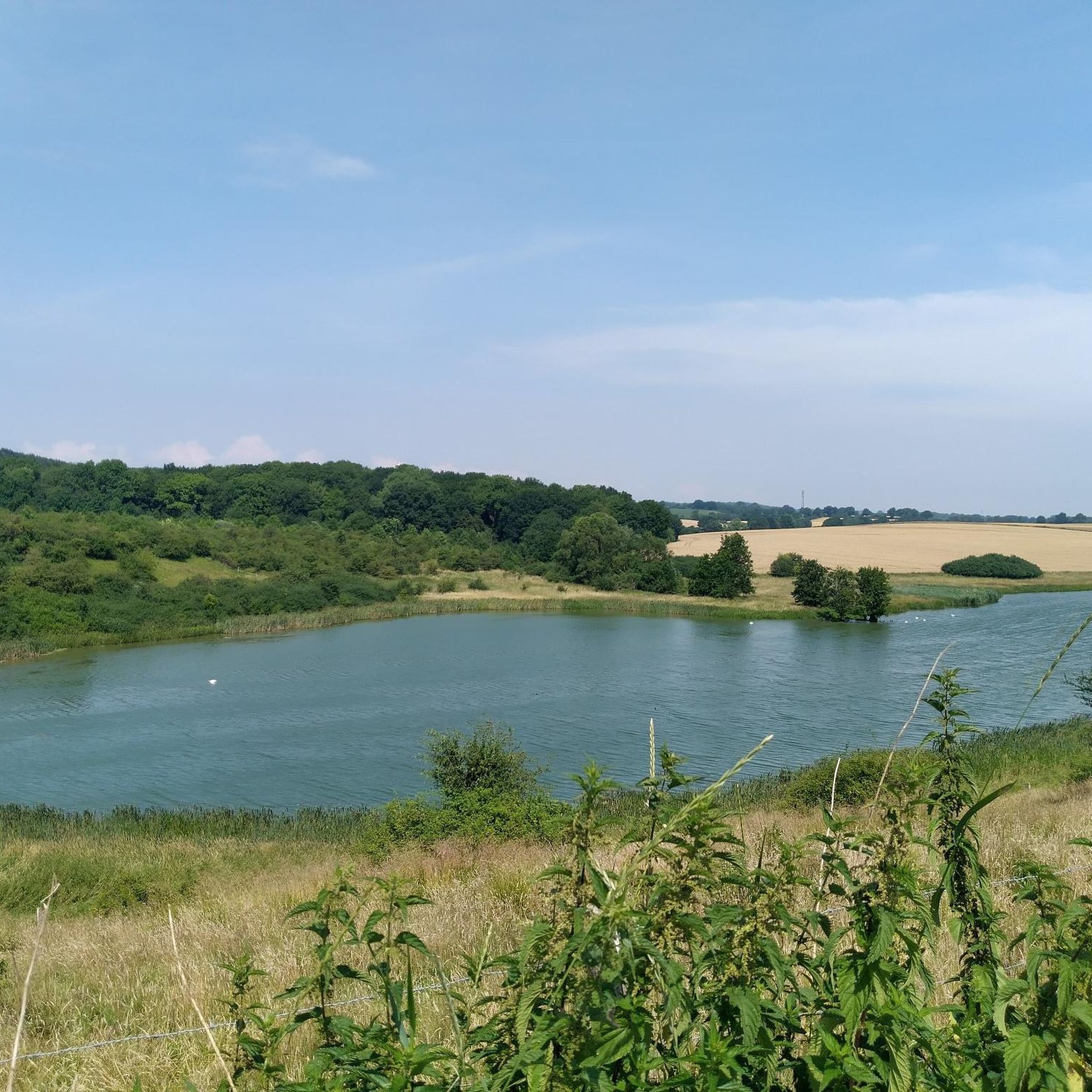
Jogging routes Zarpen offer a variety of paths through the region's gentle landscape in Schleswig-Holstein, Germany. The area is characterized by low elevation gains, featuring open fields, small forested sections, and tranquil ponds. Zarpen is situated within the "Ostholsteinisches Hügel- und Seenland," providing a partly hilly landscape with diverse natural features and numerous small streams.
Best jogging routes around Zarpen
- The most popular jogging route is Running loop from Heidekamp, a 3.0 miles (4.8 km) trail that takes 30…
Last updated: August 18, 2026
20
runners
4.77km
00:30
20m
20m
Easy run. Great for any fitness level. Mostly paved surfaces. Suitable for all skill levels.
5.0
(3)
17
runners
6.12km
00:42
20m
20m
Moderate run. Good fitness required. Mostly paved surfaces. Suitable for all skill levels.

Sign up for free
4.3
(3)
16
runners
5.52km
00:35
20m
20m
Moderate run. Good fitness required. Mostly paved surfaces. Suitable for all skill levels.
5.0
(3)
15
runners
8.11km
00:55
30m
30m
Moderate run. Good fitness required. Mostly paved surfaces. Suitable for all skill levels.
10
runners
5.10km
00:32
10m
10m
Moderate run. Good fitness required. Mostly paved surfaces. Suitable for all skill levels.
Get access to more routes and recommendations from other explorers.
Sign up for free
Already have an account?
Our route recommendations are based on thousands of hikes, rides, and runs completed by other people on komoot.
Start today with a free account
Your next adventure awaits.
Login or Signup
Tips from the Community

In 2025/26, the forestry authority in Reinfelds' forests did a great job, and the forest path through the cow pasture was not spared either. The northeastern section was once a narrow path, now it is just a wide forest road like so many others and has largely lost its former charm. The passage near Manhagen between Knick and Ackerrain was completely cleared.
0
0

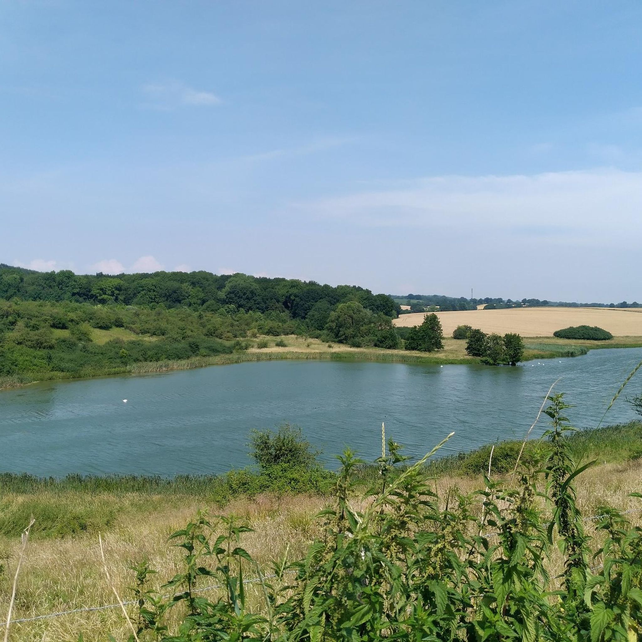
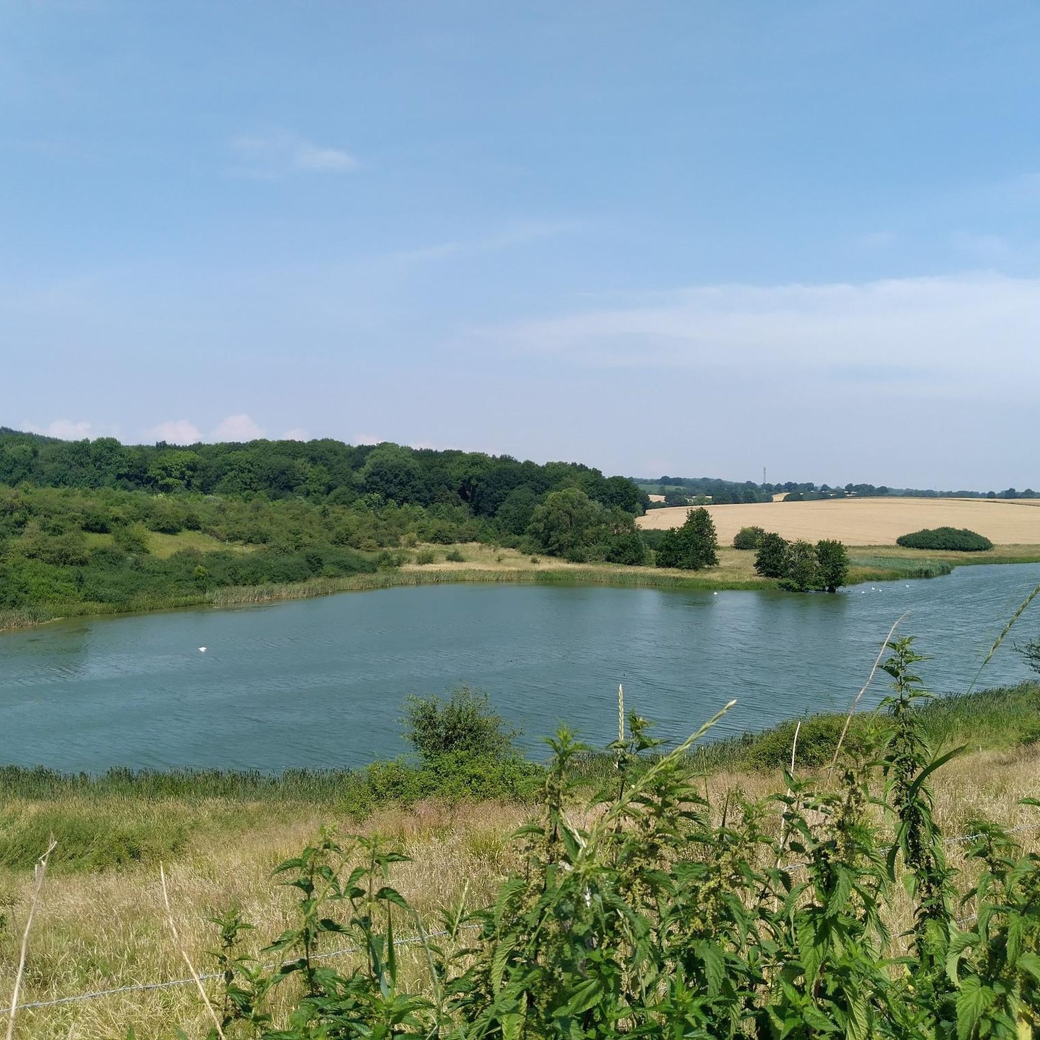
The 3.7 km long trail leads along the partially wooded shore of the Herrenteich lake. The east and west banks are connected by a bridge at the "Fischhuser Damm"—north of this bridge begins the "Oberer Herrenteich" nature reserve. See: https://reinfeld-aktiv.de/tag/reinfeld/page/6/
2
1
The 3.7 km long trail leads along the partially wooded shore of the Herrenteich lake. The east and west banks are connected by a bridge at the "Fischhuser Damm"—north of this bridge begins the "Oberer Herrenteich" nature reserve. See: https://reinfeld-aktiv.de/tag/reinfeld/page/6/
4
1

The Evangelical Church of Zarpen is a brick Gothic church in Zarpen, begun in 1221, which was built in the 13th century as the parish church of this early medieval main town and for the surrounding villages of the former Reinfeld Monastery in what is now the Nordstormarn district.
2
0
The Herrenteich in Reinfeld owes its existence to Cistercian monks who founded the Reynevelde monastery in the 12th century. They cleared the forest, created fish ponds and dammed the Heilsau to form the Herrenteich. Water lily - Photo: Silke Oldorff Water lily - Photo: Silke Oldorff The Herrenteich in Reinfeld, Stormarn district, owes its existence to the Cistercian monks who founded the "Reynevelde" monastery in the area of the marshy lowlands of the Heilsau in the 12th century. The Heilsau rises near today's Stockelsdorf (Ostholstein district) and flows into the Trave below Reinfeld. Count Adolf commissioned this Cistercian order in 1186 to reclaim this "place of loneliness and terror", according to contemporary witness Provost Sido from Neumünster. They cleared the forest, created small fish ponds and used the excavated material to build the dam for the Heilsau to form the Herrenteich. The monks lived in the monastery until the 16th century
2
0
With 37 hectares, the Herrenteich is the largest of a total of five freshwater ponds in Reinfeld; with its diverse bank vegetation, it offers a home to many animal species.
1
0
This is the bridge at Fischhuser Damm. The name suggests that a dam must once have connected the banks of the Herrenteich pond here. In 1960, pioneers from the Eutin riot police erected the first wooden bridge, which was recently replaced by a new steel structure. The "Oberer Herrenteich" nature reserve lies to the north of the bridge.
3
0
The High Middle Ages brick church stands at the center of the village of Zarpen. It was begun in the year 1221 and is one of the oldest surviving structures in the Stormarn district.
1
0
Frequently Asked Questions
What are the typical distances of running routes in Zarpen?
Running routes in Zarpen vary in length. You'll find options ranging from shorter, easy loops like the Running loop from Heidekamp at 3.0 miles (4.8 km), to longer moderate trails such as the Moorteich near Heilshoop – Bench with a view of the Moorteich loop from Zarpen, which is 6.0 miles (9.6 km) long. Overall, there are over 480 running routes available in the area.
Are there easy running routes in Zarpen suitable for beginners?
Yes, Zarpen offers a good selection of easy running routes. For instance, the Running loop from Heidekamp is an easy 3.0-mile (4.8 km) trail. In total, there are 87 easy running routes, making it a great place for beginners or those looking for a relaxed jog.
Can I bring my dog on the running trails in Zarpen?
Many of the running trails in Zarpen are suitable for dogs, especially those that pass through open fields and forested sections. However, it's always recommended to keep your dog on a leash, especially when passing through nature reserves or near livestock. Always check local signage for specific rules regarding dogs.
Are most running routes in Zarpen circular?
Yes, many of the popular running routes around Zarpen are designed as loops, offering convenient starting and ending points. Examples include the Running loop from Heidekamp and the St John's Church, Zarpen loop from Zarpen, allowing you to return to your starting point without retracing your steps.
What kind of scenery can I expect on the running routes around Zarpen?
The running routes in Zarpen showcase the region's gentle landscape, characterized by open fields, small forested sections, and tranquil ponds. You can expect scenic views of natural features like the Moorteich pond on routes such as the Moorteich near Heilshoop – Bench with a view of the Moorteich loop from Zarpen, and historical landmarks like St John's Church.
Are there any interesting landmarks or attractions near the running trails?
Yes, several running routes pass by or are close to interesting landmarks. For example, the St John's Church, Zarpen loop from Zarpen takes you past the notable St John's Church. Further afield, you can find natural monuments like Herrenteich Reinfeld or historical sites such as the Holsten Gate in Lübeck, though these might require a short detour from the immediate running paths.
When is the best time of year for running in Zarpen?
Zarpen's running trails are enjoyable throughout much of the year. Spring and autumn offer pleasant temperatures and beautiful scenery with blooming nature or colorful foliage. Summer is also popular, though it's advisable to run in the mornings or evenings to avoid the midday heat. Winter running is possible, but some paths might be muddy or icy, so appropriate footwear is recommended.
Is parking available near the running trails in Zarpen?
Yes, parking is generally available near the starting points of many running routes in Zarpen, especially in and around the main villages like Zarpen and Heidekamp. Specific parking information can often be found on individual route descriptions on komoot.
How busy are the running trails in Zarpen?
While popular, the running trails in Zarpen generally offer a peaceful experience, especially outside of peak weekend hours. The region's extensive network of over 480 routes means that runners can often find less crowded paths, particularly on weekdays or by exploring some of the less-trafficked moderate and difficult trails.
What do other runners enjoy most about jogging in Zarpen?
The running experience in Zarpen is highly rated by the komoot community, with an average score of 4.4 stars from over 1,000 reviews. Runners often praise the gentle terrain, the mix of forest paths and open fields, and the scenic pond views. The variety of routes, from easy to moderate, is also frequently highlighted as a positive aspect.
Are there family-friendly running options in Zarpen?
Yes, Zarpen's gentle terrain and numerous easy routes make it suitable for family runs. Shorter, less challenging loops like the Running loop from Heidekamp are ideal for families with children or those looking for a leisurely pace. The natural surroundings also provide an enjoyable environment for all ages.
Are the running trails in Zarpen suitable for winter jogging?
Many trails in Zarpen remain accessible for winter jogging, offering a serene experience in the colder months. However, conditions can vary; some paths might become muddy or icy, especially after rain or snowfall. It's advisable to wear appropriate winter running gear, including shoes with good grip, and to check local weather conditions before heading out.
Most popular attractions around Zarpen

Get inspired with the komoot mobile app


Explore more
Browse the best Running Trails & Routes in other regions.
