The best walks and hikes around Serra-Di-Scopamène
4.6
(1868)
11,209
hikers
20
hikes
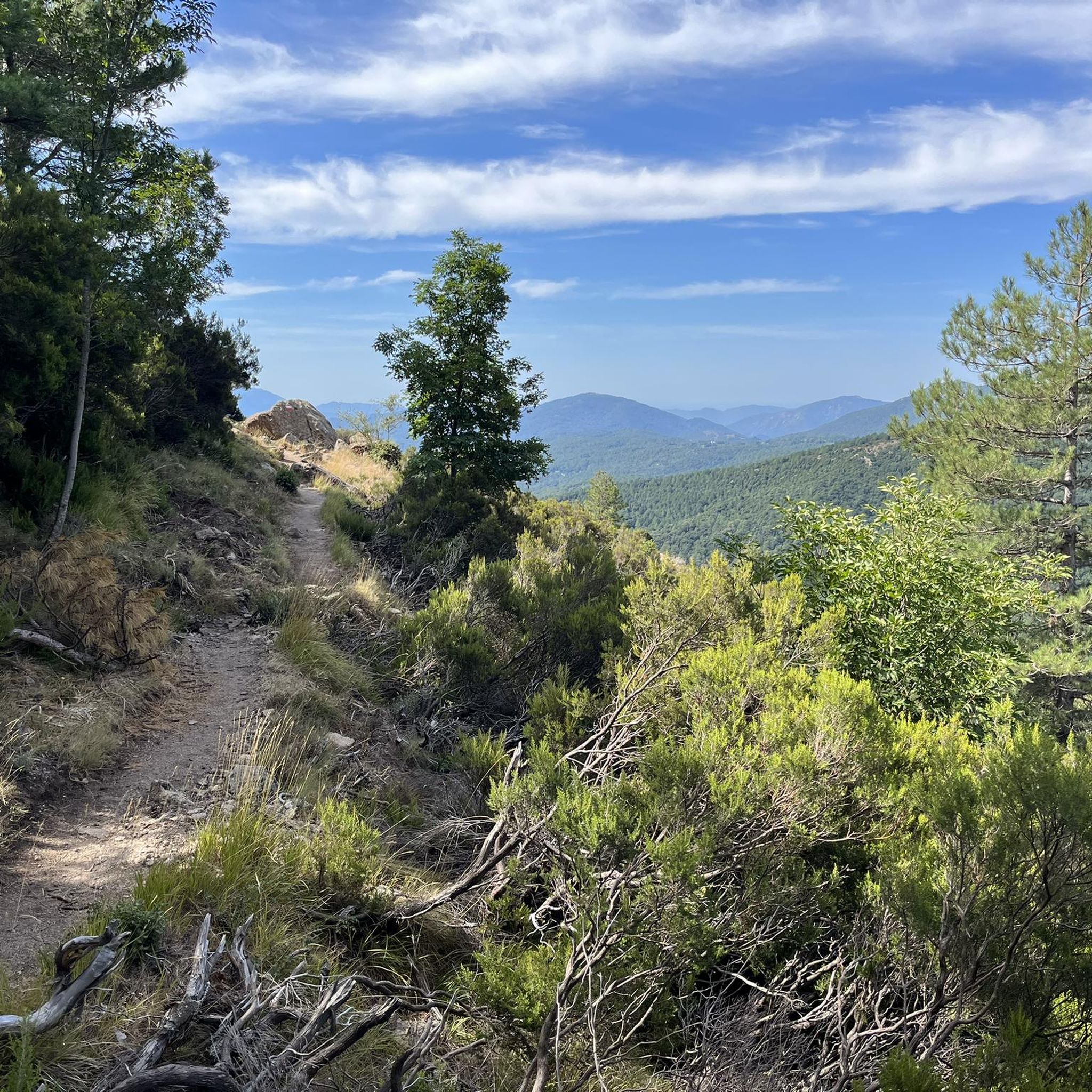
Hiking around Serra-Di-Scopamène offers diverse landscapes, from the Rizzanese valley in the south to the Codi valley in the north. The region is characterized by granite peaks like Punta di Cuciurpula, traditional chestnut groves, and ancient dry-stone walls. Hikers will encounter varied terrain, including verdant valleys and rugged mountain areas, typical of Corsican rural life.
Best hiking trails in Serra-Di-Scopamène
- The most popular hiking route is Plateau des Cosciones – Pozine loop from Bucchinera, a 8.5 miles (13.7 km)…
Last updated: June 25, 2026
4.9
(7)
80
hikers
12.9km
03:49
370m
370m
Moderate hike. Good fitness required. Easily-accessible paths. Suitable for all skill levels.
5.0
(6)
48
hikers
15.6km
04:56
600m
600m
Moderate hike. Good fitness required. Easily-accessible paths. Suitable for all skill levels.

Sign up for free
5.0
(9)
37
hikers
7.04km
02:27
280m
280m
Moderate hike. Good fitness required. Mostly accessible paths. Sure-footedness required.
5.0
(4)
62
hikers
21.7km
07:14
640m
640m
Hard hike. Very good fitness required. Sure-footedness, sturdy shoes and alpine experience required.
4.9
(8)
47
hikers
6.76km
01:53
120m
120m
Easy hike. Great for any fitness level. Easily-accessible paths. Suitable for all skill levels.
Get access to more routes and recommendations from other explorers.
Sign up for free
Already have an account?
Our route recommendations are based on thousands of hikes, rides, and runs completed by other people on komoot.
Start today with a free account
Your next adventure awaits.
Login or Signup
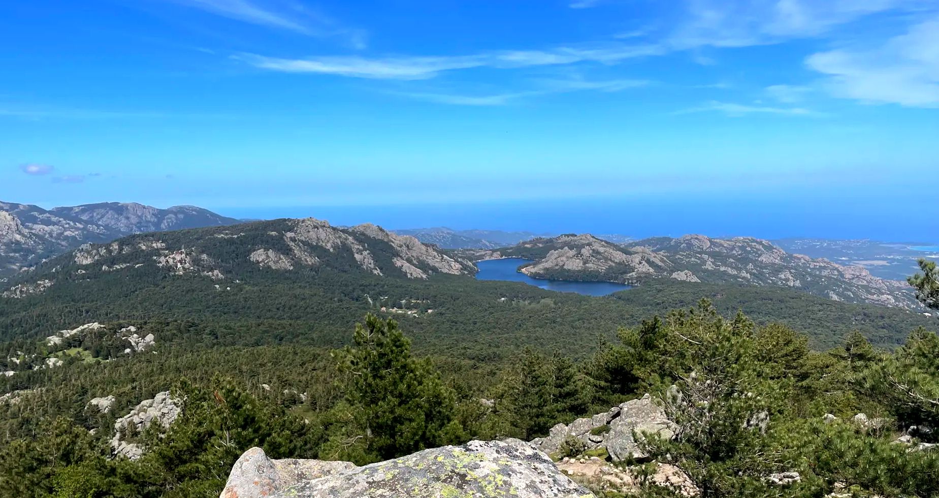
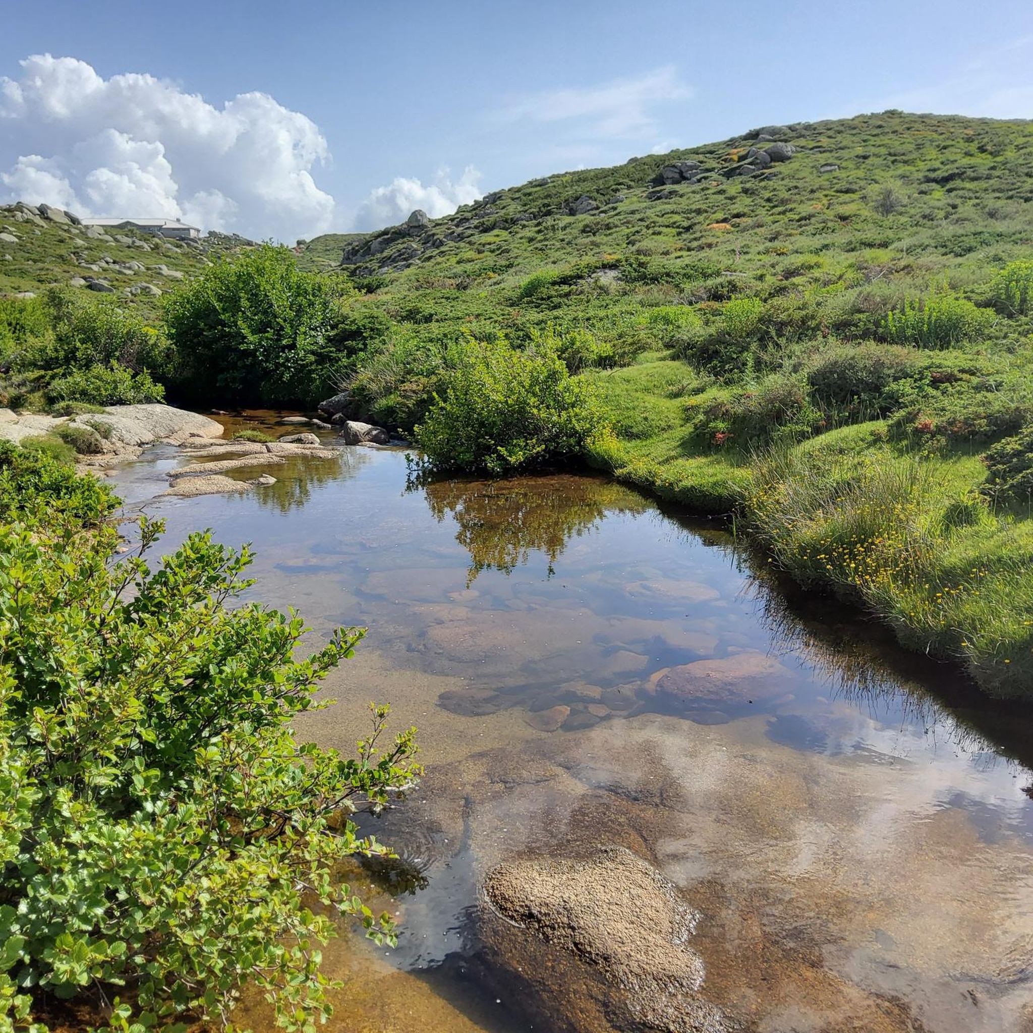
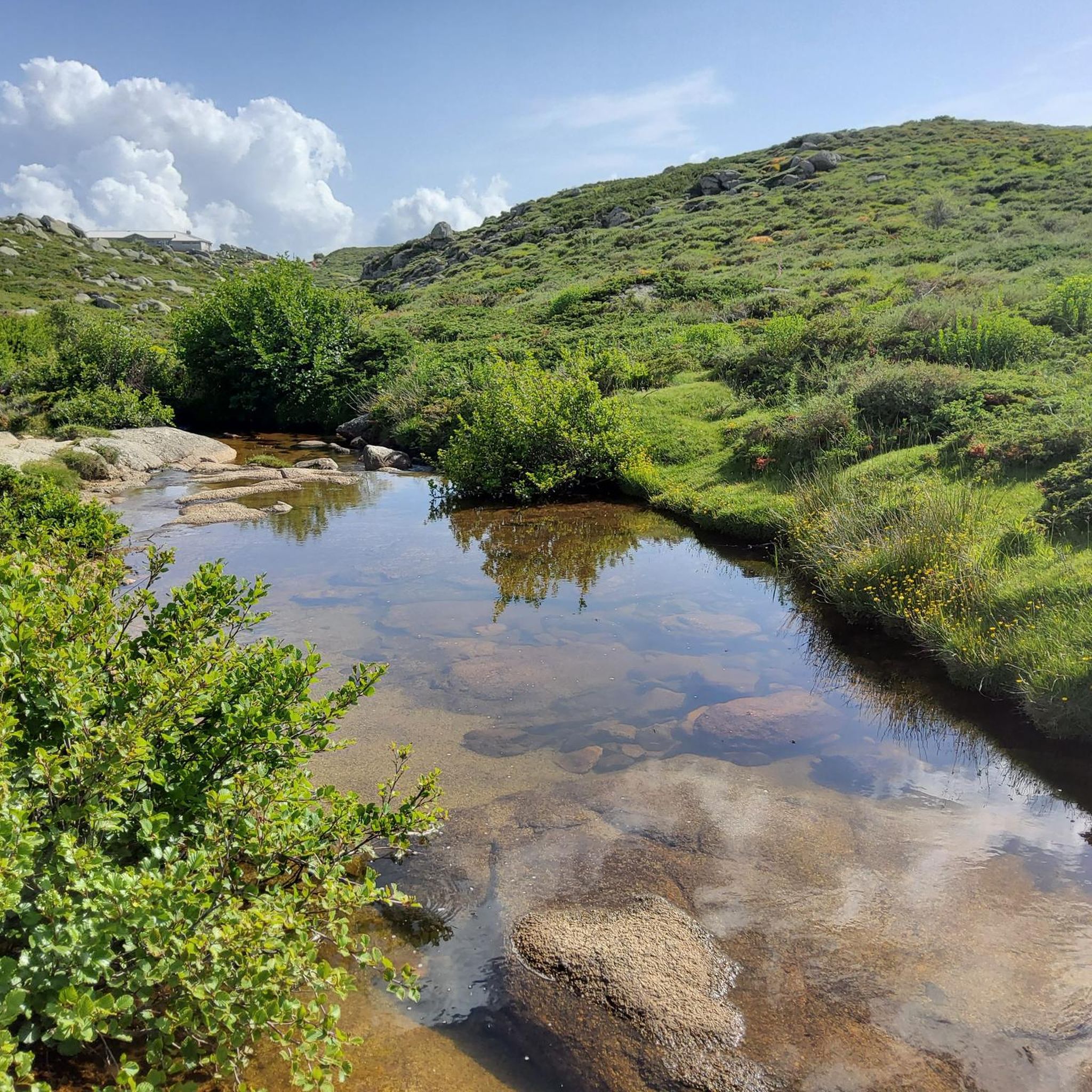
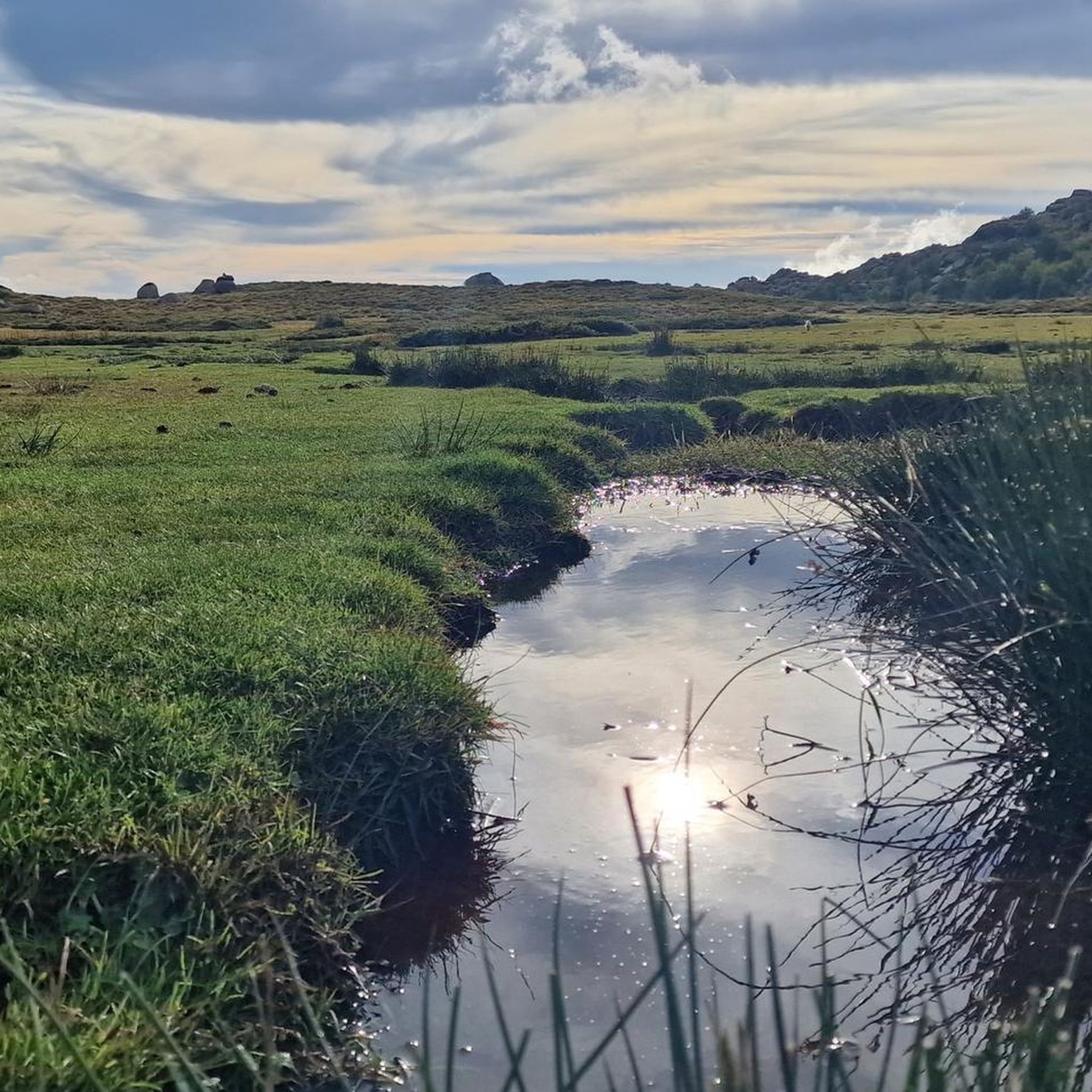

Other adventures around Serra-Di-Scopamène

Tips from the Community


Gorgeous. Difficult access by car from Quenza (road broken in places)
0
0


Here you will find the semi-wild horses. Just beautiful.
0
0

Like from another world.
2
0
Frequently Asked Questions
How many hiking trails are available around Serra-Di-Scopamène?
There are over 20 hiking routes in the Serra-Di-Scopamène area, offering a diverse range of experiences for different skill levels. These trails explore the region's varied landscapes, from river valleys to mountain terrain.
Are there easy or family-friendly hiking options in Serra-Di-Scopamène?
Yes, Serra-Di-Scopamène offers several easy and family-friendly hiking options. Notably, the Serra-di-Scopamena Heritage Trail is an emblematic, well-marked path designed for an interpretative journey into the village's local culture, suitable for all ages. Overall, there are 6 easy routes available in the area.
What kind of terrain and landscapes can I expect on hikes around Serra-Di-Scopamène?
The region is characterized by striking scenic diversity, ranging from the Rizzanese valley in the south to the upper Codi valley in the north. You'll encounter granite peaks like Punta di Cuciurpula, traditional chestnut groves, ancient dry-stone walls, and verdant valleys, all typical of Corsican rural life. The wider area is known for its fragrant spring blooms and a mix of rugged west coast and sandy east coast features.
Are there any circular hiking routes in Serra-Di-Scopamène?
Yes, many of the trails around Serra-Di-Scopamène are circular, allowing you to start and end in the same location. Examples include the Plateau des Cosciones – Pozine loop from Bucchinera and the Serra di Scopamène – Aullène Cemetery loop from Serra-di-Scopamène, which takes you through traditional villages and forested areas.
What are some notable landmarks or natural features to see while hiking?
Hikers can explore several significant landmarks. The Punta di Cuciurpula, a granite peak, features distinctive triple peaks, boulder heaps, and rock shelters, along with historical ruins. You might also encounter traditional chestnut groves, ancient vegetable gardens, and the 'U Fragnu' water mill. Further afield, you can visit the Bavella Pass or the Trou de la Bombe Rock Arch.
What do other hikers enjoy most about hiking in Serra-Di-Scopamène?
The area is highly rated by the komoot community, with an average score of 4.6 stars from over 1700 reviews. Hikers often praise the diverse landscapes, from river valleys to granite peaks, and the opportunity to experience authentic Corsican rural life. The well-maintained trails and the blend of natural beauty with cultural heritage are frequently highlighted.
Can I find challenging or difficult hikes in the region?
Absolutely. While there are easy options, Serra-Di-Scopamène also serves as a gateway to more challenging routes. The region offers 6 difficult trails, including segments of the long-distance Mare a Mare Sud trail, which traverses Southern Corsica over five stages, and provides access to areas like Bavella, known for its rugged terrain and even parts of the renowned GR20.
Are there any specific historical or cultural sites along the trails?
Yes, the region is rich in history. The Serra-di-Scopamena Heritage Trail, for instance, guides you through the Vangonu district, a former chestnut grove, and the 'U Fragnu' water mill. You'll also see 'siccatoghju' (chestnut drying sheds), ancient vegetable gardens, and traditional granite houses. The Punta di Cuciurpula peak also holds ruins of a 13th to 16th-century 'casteddu' (castle) and 'tafoni' rock formations.
What is the best time of year to go hiking in Serra-Di-Scopamène?
The entire island of Corsica blooms fragrantly in spring, making it a particularly beautiful time to visit. While specific recommendations depend on the trail's elevation, spring and autumn generally offer pleasant temperatures for hiking. Summer can be warm, especially in lower valleys, while higher mountain areas might be suitable for snowshoeing in winter.
Are there any opportunities for wild swimming or water features on the hikes?
The region features the Rizzanese and Codi valleys, where these two rivers converge to form a reservoir, offering scenic water views. While not directly on every trail, the wider area of Southern Corsica is known for refreshing water ponds and natural monuments like the Purcaraccia Pools, which are popular for wild swimming and can be accessed from nearby hiking areas.
How long do hikes typically take in Serra-Di-Scopamène?
Hike durations vary significantly based on the route's length and difficulty. For example, the Plateau des Cosciones – Pozine loop from Bucchinera, a difficult 8.5-mile (13.7 km) trail, typically takes around 4 hours. A moderate 8.0-mile (12.9 km) route like the Serra di Scopamène – Aullène Cemetery loop can be completed in about 3 hours 47 minutes.
Most popular attractions around Serra-Di-Scopamène

Get inspired with the komoot mobile app


Explore more
Browse the best Hikes in other regions.
