The best cycling routes around Alkersleben
4.5
(3580)
14,661
riders
464
rides
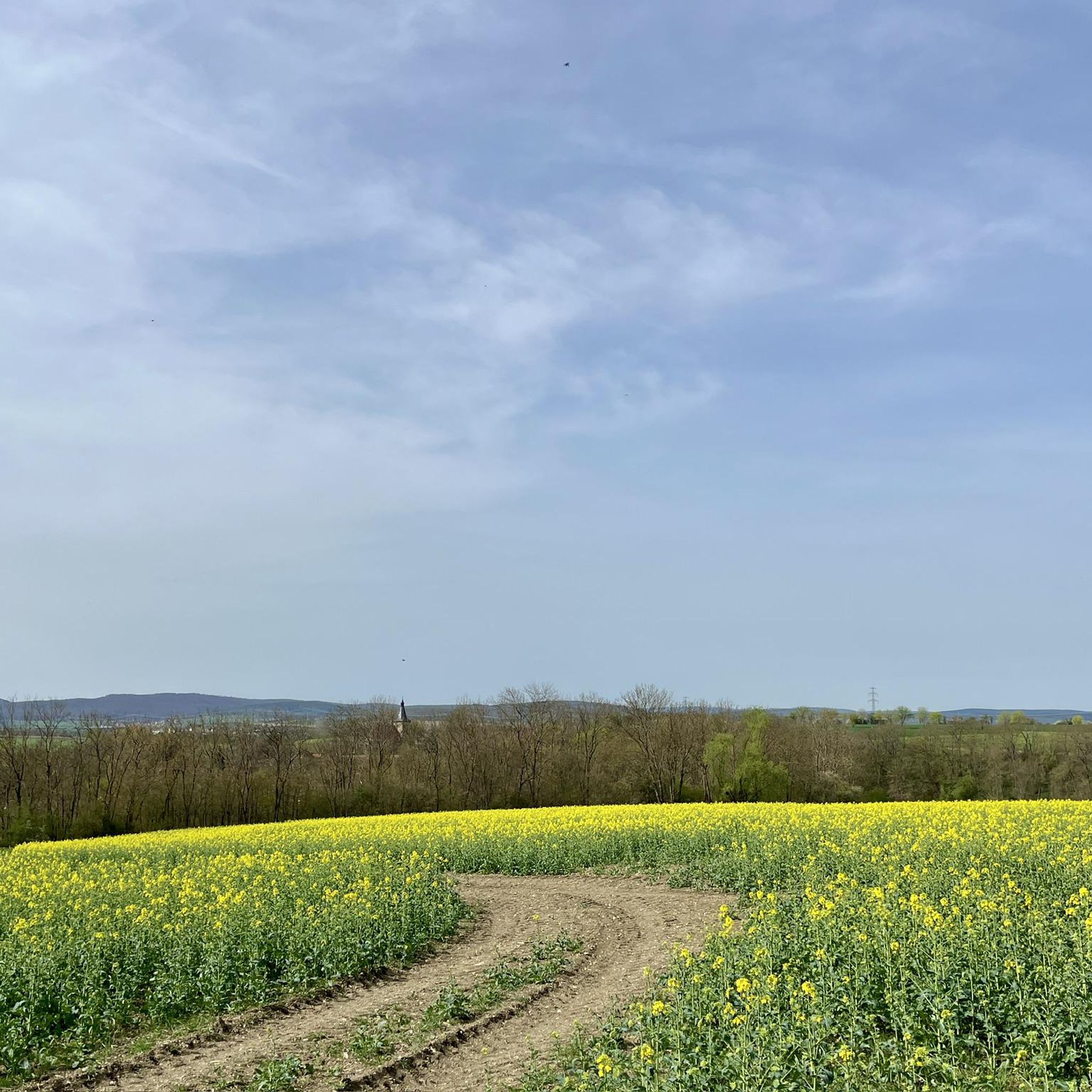
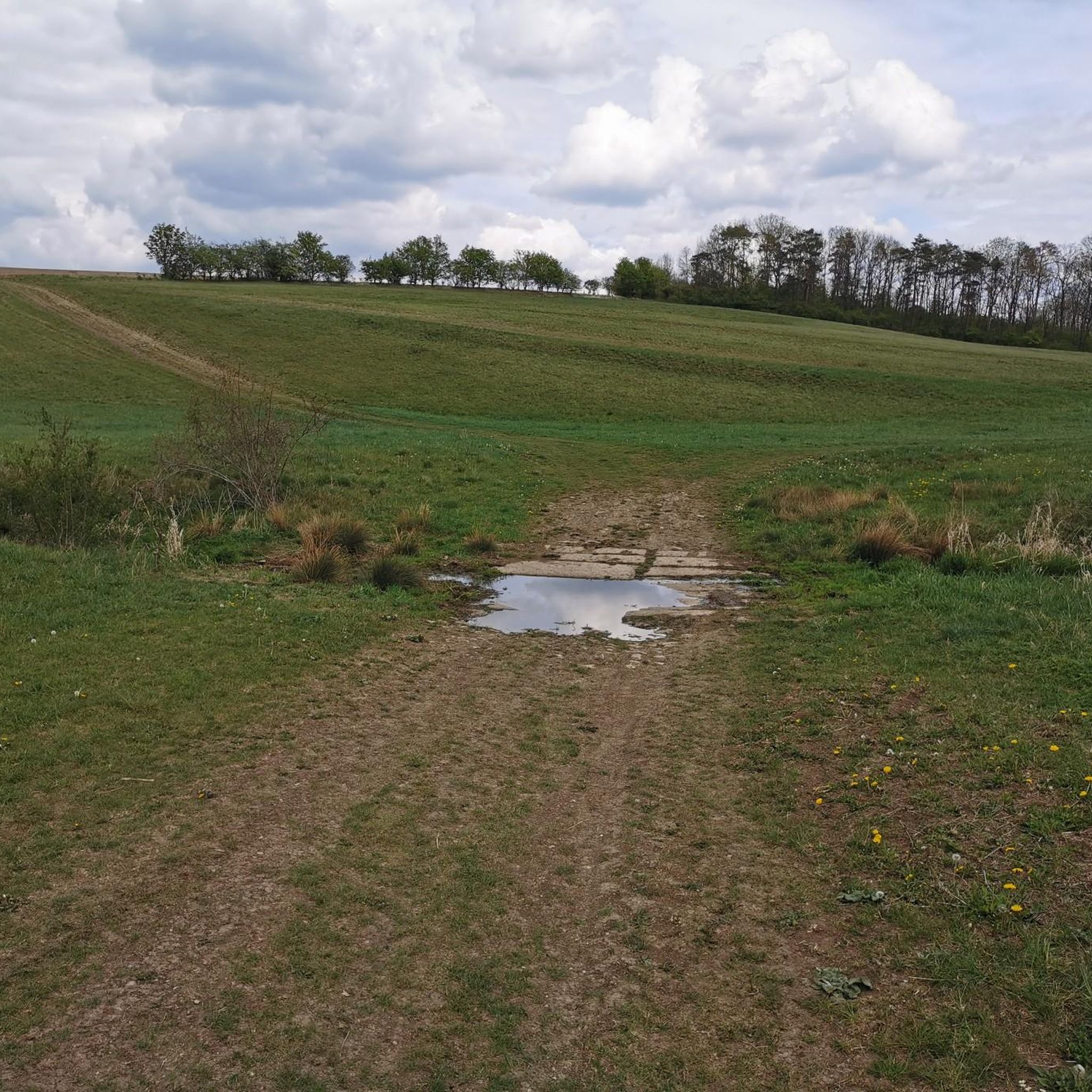
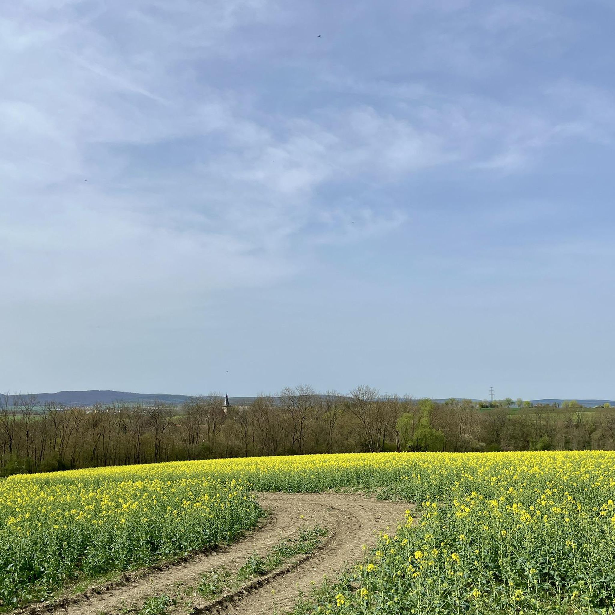
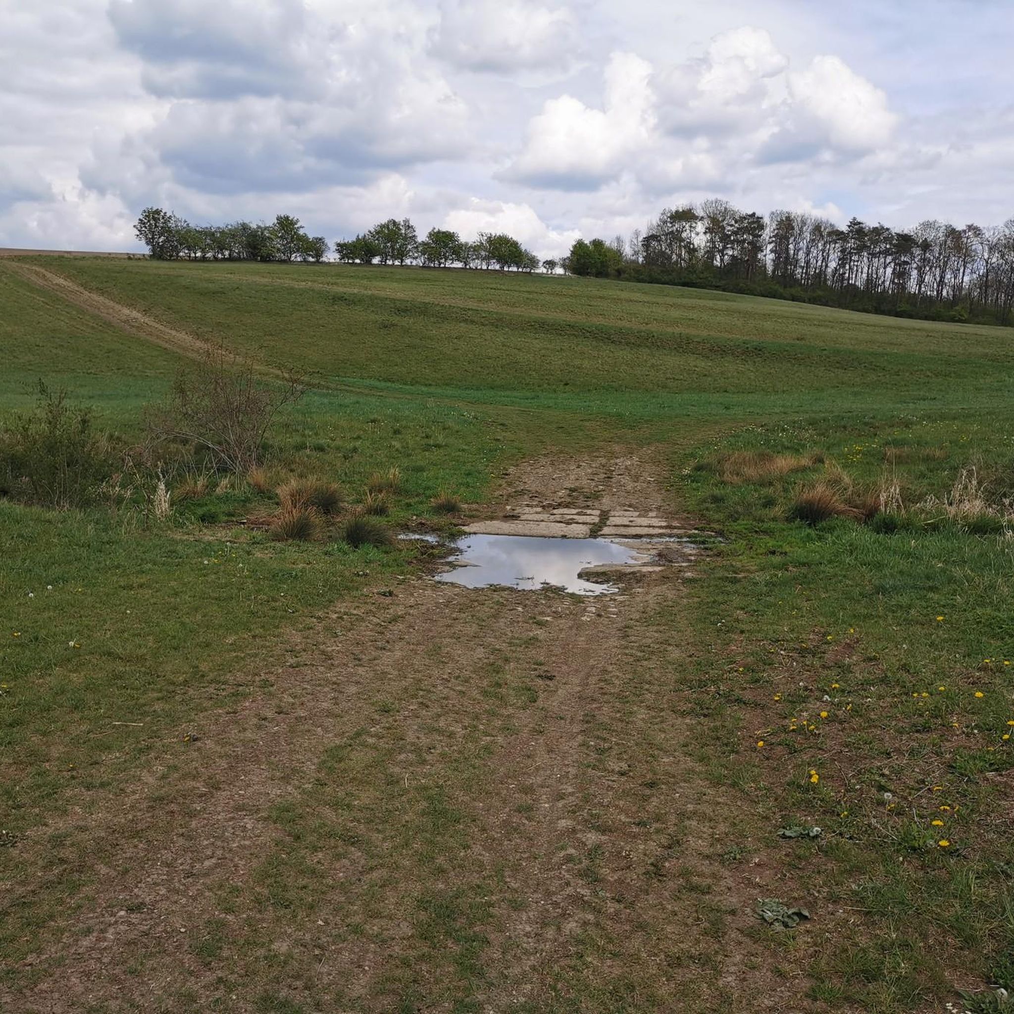
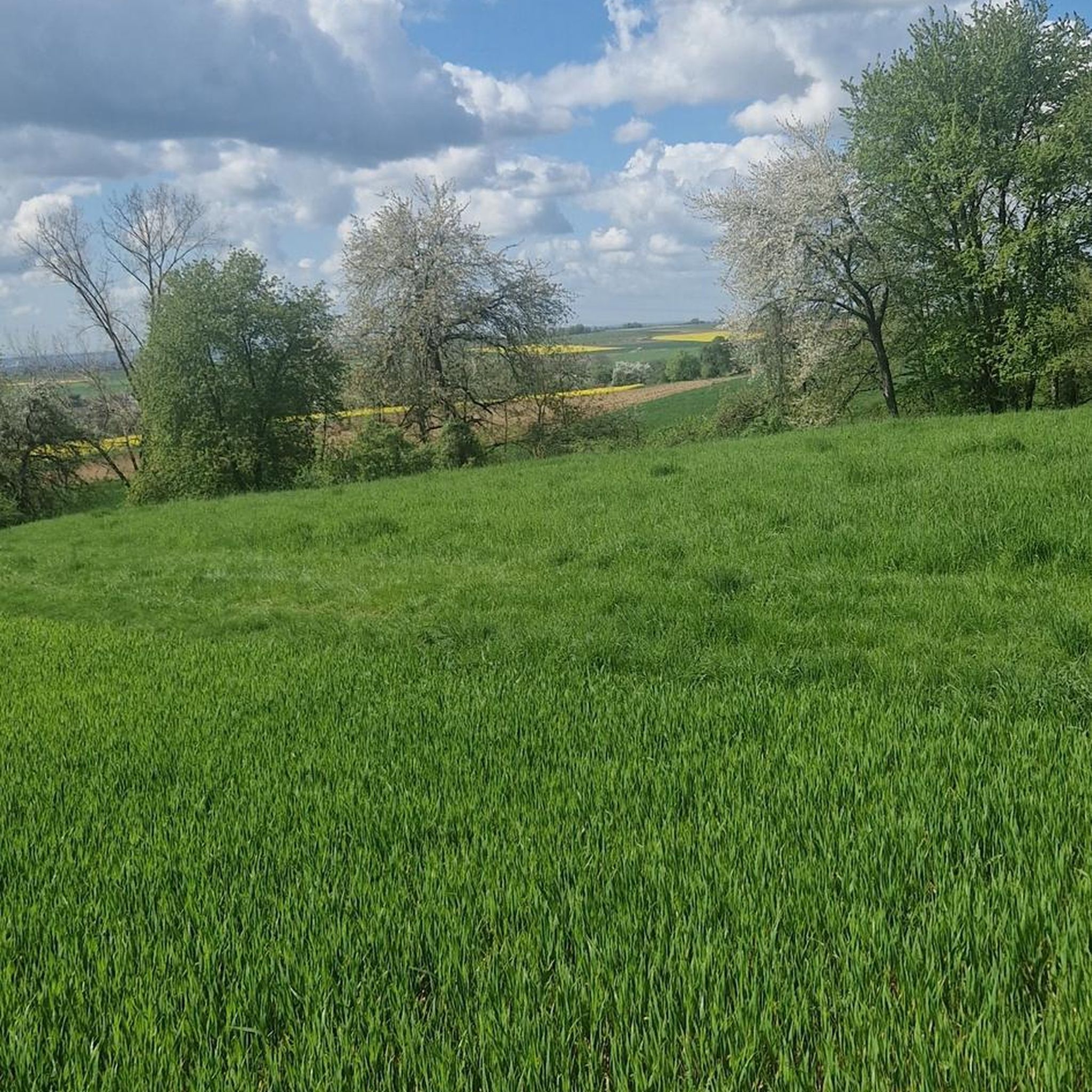
Touring cycling around Alkersleben is characterized by its location within the Wipfra depression in Thuringia, featuring rolling hills and fertile fields. The municipality sits at approximately 290 meters altitude, with the 322-meter-high Kirchheimer Höhe to the west and a gradual incline to 393 meters to the east at the Sichemberg. The Wipfra river flows through the area, contributing to the agricultural landscape, which is largely free of forests.
Best touring cycling routes around Alkersleben
- The most popular touring cycling route…
Last updated: June 27, 2026
4.9
(9)
20
riders
32.4km
02:03
240m
240m
Moderate bike ride. Good fitness required. Mostly paved surfaces. Suitable for all skill levels.
6
riders
26.1km
01:35
180m
180m
Moderate bike ride. Good fitness required. Mostly paved surfaces. Suitable for all skill levels.

Sign up for free
5.0
(1)
6
riders
32.1km
02:20
430m
430m
Moderate bike ride. Good fitness required. Mostly paved surfaces. Suitable for all skill levels.
6
riders
21.7km
01:26
170m
170m
Moderate bike ride. Good fitness required. Mostly paved surfaces. Suitable for all skill levels.
5.0
(2)
9
riders
14.0km
00:55
90m
90m
Easy bike ride. Great for any fitness level. Mostly paved surfaces. Suitable for all skill levels.
Get access to more routes and recommendations from other explorers.
Sign up for free
Already have an account?
Our route recommendations are based on thousands of hikes, rides, and runs completed by other people on komoot.
Start today with a free account
Your next adventure awaits.
Login or Signup
Tips from the Community

Sperlingslust is a historic archway with an integrated small gallery. Events and exhibitions occasionally take place here. The Sperlingslust gallery is open every second Sunday of the month from 2 p.m. to 5 p.m. But it is better to inquire beforehand with the Freundeskreis der Galerie Sperlingslust so that you do not stand in front of closed doors.
1
0

Unfortunately only open to the public on request
0
0

Nice place. The route to Rockhausen is a bit mountainous.
0
1

Late Gothic church with a west tower offset to the north. After a fire in 1647, the tower top and dome were rebuilt.
0
0

Very beautiful and well preserved church.
0
0
Beautiful and relaxing cycle path along the Gera.
0
1
Beautiful, ornate and small village pond.
0
0
Beautiful and interesting church.
0
0
Frequently Asked Questions
What kind of terrain can I expect when touring cycling around Alkersleben?
The Alkersleben area is characterized by rolling hills and fertile agricultural fields within the Wipfra depression. You'll find a mix of gentle inclines and descents, with the municipality itself at around 290 meters altitude, rising to 322 meters at the Kirchheimer Höhe to the west and 393 meters at the Sichemberg to the east. The landscape is largely free of forests, offering open views.
Are there many touring cycling routes suitable for beginners or families in Alkersleben?
Yes, Alkersleben offers a good selection of routes for various skill levels. Out of over 460 touring cycling routes, more than 170 are rated as easy, making them suitable for beginners or families looking for a relaxed ride. These routes often feature well-paved surfaces and manageable elevations.
What are some notable landmarks or points of interest I can explore on a touring bike near Alkersleben?
Many touring routes in the area connect to interesting cultural and natural sites. For example, the route Johann Sebastian Bach Church – Gera Weir Near Arnstadt loop from Bösleben explores landmarks near Arnstadt. You can also find highlights like the Bach Monument and Sound Sculpture "The Art of Fugue" (Arnstadt) or the Riechheimer Berg Tower and Inn, which offer scenic views and cultural insights.
Are there any circular touring cycling routes around Alkersleben?
Yes, many of the touring cycling routes around Alkersleben are designed as loops, allowing you to start and end at the same point. Examples include the Elxleben Clock Tower – Achelstädt Village Church loop from Bösleben, which offers views of local village churches, and the War Memorial Arnstadt – Arnstadt Old Town loop from Bösleben, leading through the historic Arnstadt area.
What is the best time of year for touring cycling in Alkersleben?
While specific weather conditions vary, the region's rolling hills and open fields are generally pleasant for touring cycling from spring through autumn. The agricultural landscape is particularly scenic during these seasons. Always check local weather forecasts before heading out.
What do other touring cyclists enjoy most about cycling in Alkersleben?
The area is highly rated by the komoot community, with an average score of 4.5 stars from over 3100 reviews. Reviewers often praise the tranquil, rural atmosphere, the well-maintained paths, and the diverse routes that connect natural beauty with cultural and historical sites in the wider Thuringia region.
Are there any routes that pass by the Arnstadt-Alkersleben Airfield?
While specific routes directly to the airfield aren't listed in the top selections, the Arnstadt-Alkersleben Airfield is a notable point of interest in the vicinity. Many road cycling routes in the area feature well-paved surfaces suitable for touring cyclists and pass through the general region east of Arnstadt, making it accessible for a detour or as a landmark on longer tours.
Can I find routes that offer views or lead to higher elevations?
Yes, the region includes areas like the Kirchheimer Höhe (322m) and the Sichemberg (393m), which offer opportunities for routes with some elevation gain and potentially good views. The Kirchheim Public Observatory – View of Kirchheim loop from Bösleben is an example of a route that includes views of Kirchheim.
Are there any easy routes that are relatively short for a quick ride?
For a shorter, easy ride, consider the Bach Church, Dornheim – Wolfsbach Pond and Wolf Statue loop from Alkersleben. This route is approximately 14 km long with minimal elevation gain, making it perfect for a relaxed outing.
What kind of surfaces can I expect on the touring cycling routes?
The touring cycling routes around Alkersleben primarily feature well-paved surfaces, especially those connecting villages and towns. While some segments on regional routes might be unpaved, they are generally suitable for touring bicycles, offering a smooth and enjoyable ride through the agricultural landscape.
Are there options for more challenging touring cycling routes?
Yes, while many routes are easy to moderate, the area also offers more challenging options. With over 120 routes rated as difficult, experienced touring cyclists can find longer distances and greater elevation gains, especially when connecting to broader regional networks in Thuringia.
Most popular attractions around Alkersleben

Get inspired with the komoot mobile app


Explore more
Browse the best Cycling routes in other regions.
