The best running trails around Vignevieille
4.5
(2)
198
runners
16
runs
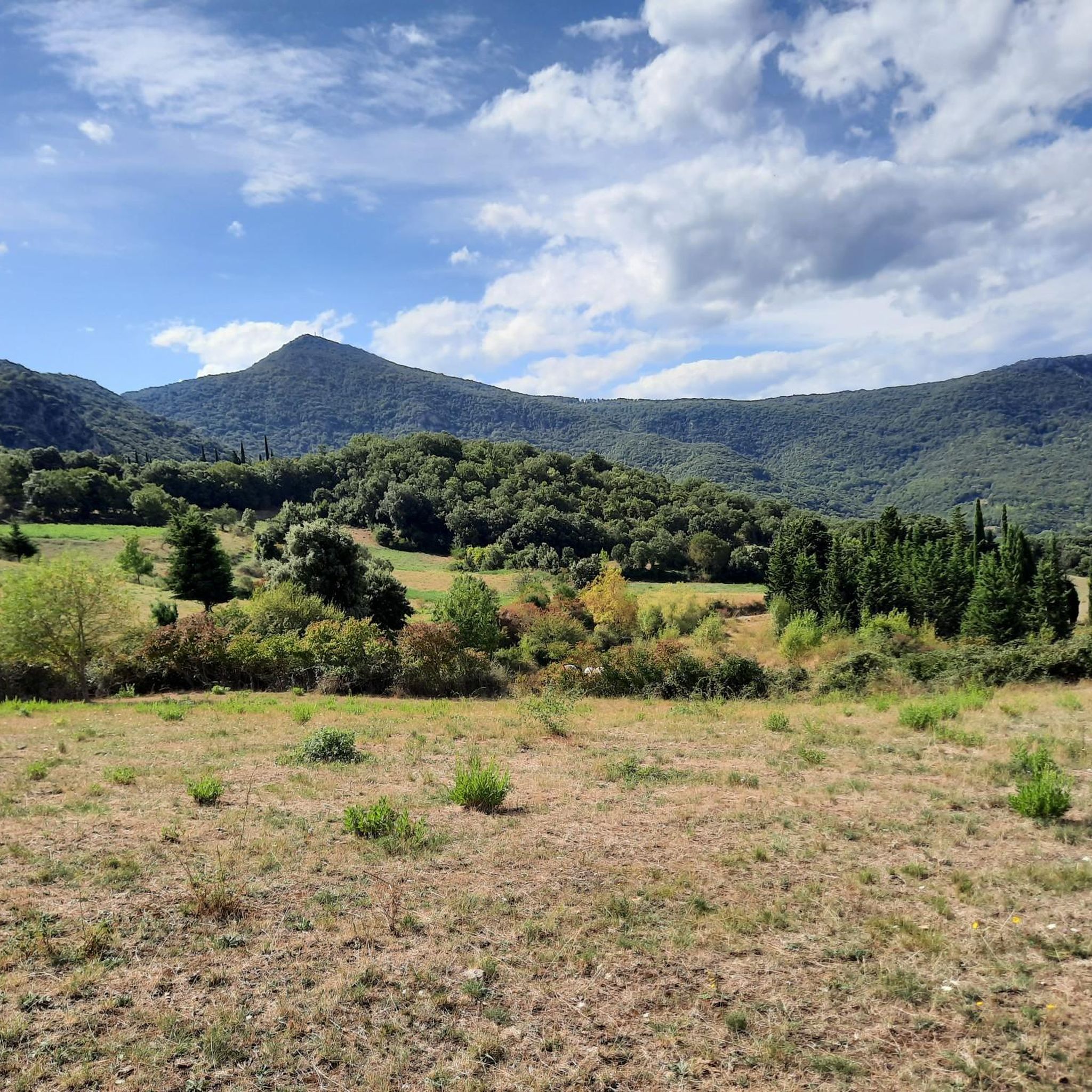
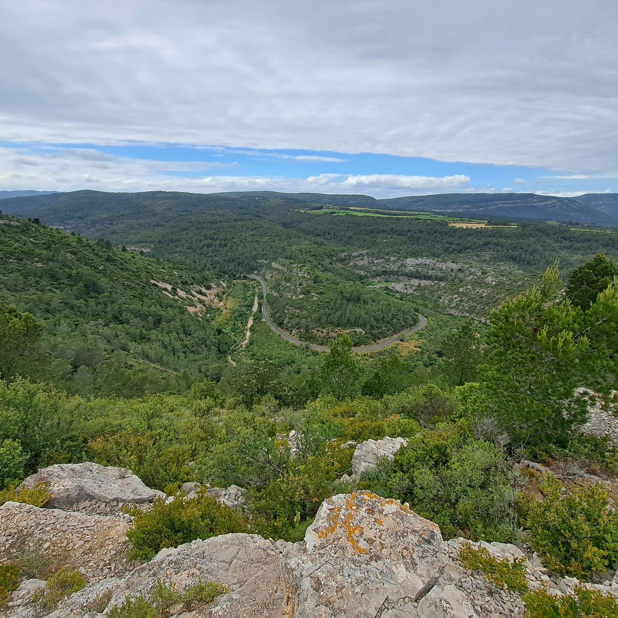
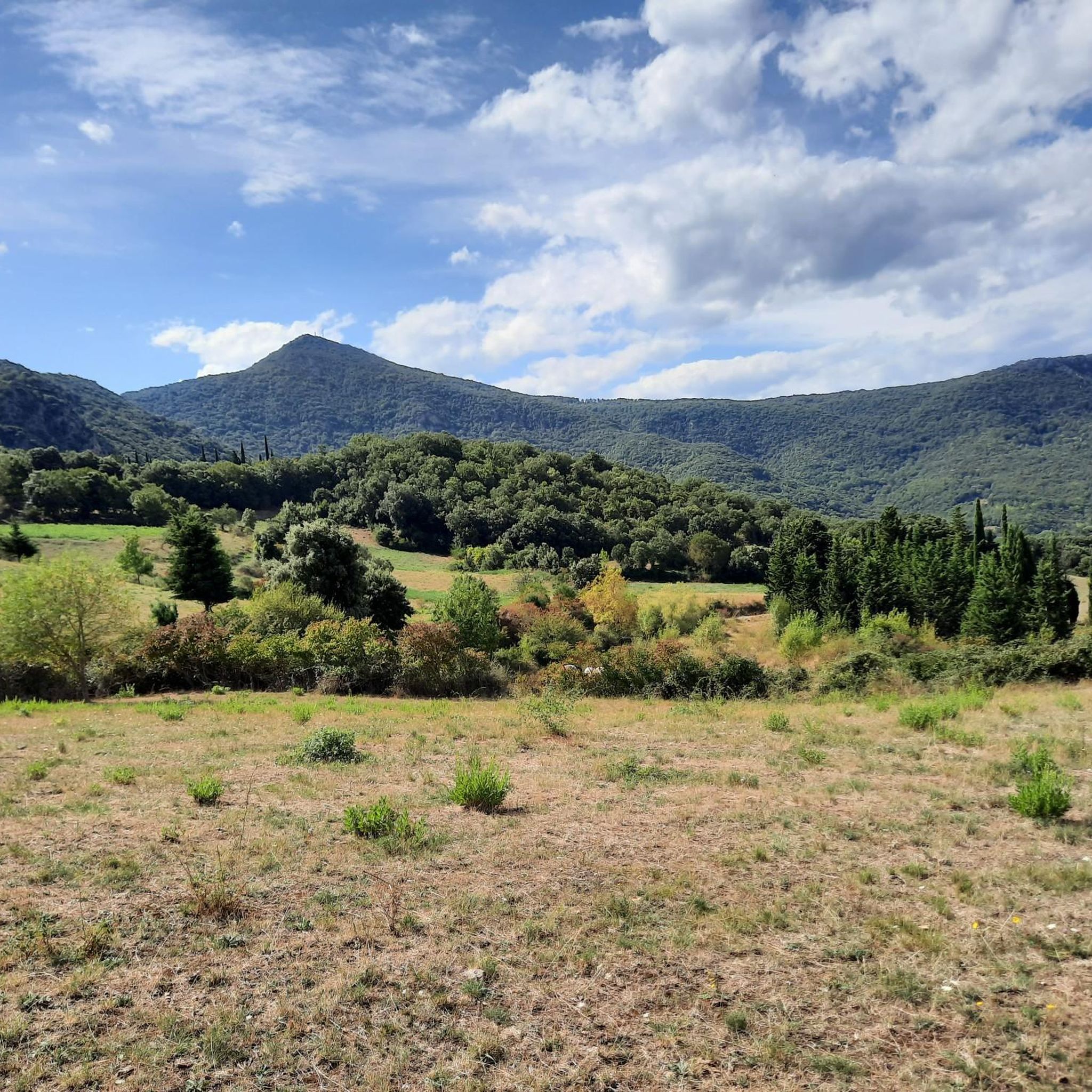
Jogging around Vignevieille offers diverse landscapes within the Corbières Massif, characterized by forests, scrubland, hills, and gorges. The Orbieu river flows through the commune, adding to the scenic beauty of many routes. Elevation ranges from approximately 190 to 694 meters, providing options for various fitness levels. This region features varied terrain, including picturesque natural environments and panoramic single trails.
Best jogging routes around Vignevieille
- The most popular jogging route is Le carla loop from Lagrasse, a 10.5 miles (16.9…
Last updated: July 4, 2026
16
runners
20.4km
02:32
530m
530m
Hard run. Very good fitness required. Mostly accessible paths. Some sure footedness required.
6
runners
5.07km
00:41
170m
170m
Moderate run. Good fitness required. Mostly paved surfaces. Suitable for all skill levels.

Sign up for free
6
runners
4.15km
00:26
40m
50m
Easy run. Great for any fitness level. Mostly paved surfaces. Suitable for all skill levels.
4
runners
12.2km
01:22
290m
290m
Moderate run. Good fitness required. Mostly paved surfaces. Suitable for all skill levels.
9
runners
11.0km
01:19
230m
230m
Moderate run. Good fitness required. Mostly paved surfaces. Suitable for all skill levels.
Get access to more routes and recommendations from other explorers.
Sign up for free
Already have an account?
Our route recommendations are based on thousands of hikes, rides, and runs completed by other people on komoot.
Start today with a free account
Your next adventure awaits.
Login or Signup
Tips from the Community

Magnificent view of the Corbières and the Pyrenees from Mont Major (Pech de Blanès).
0
0

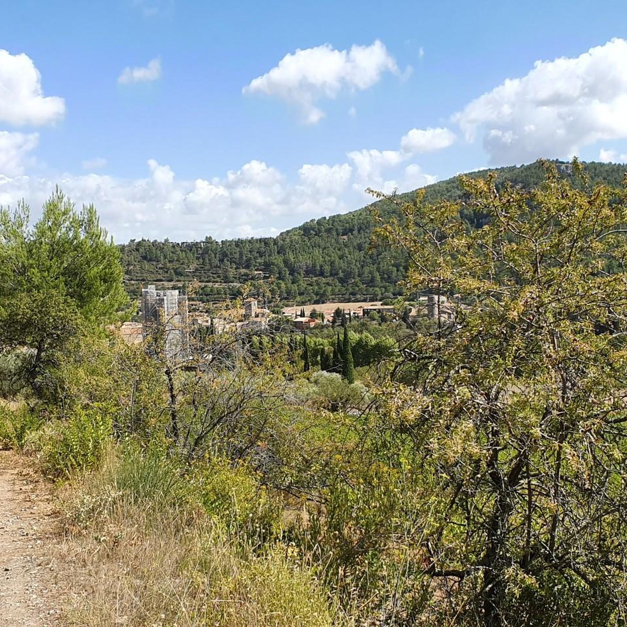
Very impressive château in a small, pleasant town; a restaurant with a shady garden is located directly opposite.
3
1

A ruined castle in the Massif des Corbières dating back to the 11th century. Inside there is a restaurant offering 14th century cuisine!
1
0
The Orbieu river crosses the Aude department in France and has its source at Fourtou in the Corbières massif. The river has formed the famous Gorges de l'Orbieu. It is an ideal place to rest and swim.
0
0
Frequently Asked Questions
How many running routes are available around Vignevieille?
Vignevieille offers a good selection of running routes, with over 15 trails recorded on komoot. These routes cater to various fitness levels, ranging from easy strolls to challenging long-distance runs through the Corbières Massif.
Are there easy jogging routes suitable for beginners in Vignevieille?
Yes, Vignevieille has options for beginners. While many routes are moderate to difficult, there is at least one easy trail available. For a moderate option that's still accessible, consider the Old Bridge loop from Lagrasse, which is 5.3 miles (8.5 km) and features riverside paths and historical elements.
What kind of terrain can I expect on the running trails in Vignevieille?
The running trails around Vignevieille offer incredibly diverse terrain. You'll encounter everything from valleys and riverbanks along the Orbieu, to extensive forests, Mediterranean garrigues, and the dramatic landscapes of the Corbières Massif. Expect a mix of picturesque natural environments and panoramic single trails, with elevation changes ranging from 190 to 694 meters.
Are there any long-distance or challenging running routes for experienced runners?
Absolutely. Experienced runners will find several challenging options. The Pech de Blanes – Mount Major loop from Saint-Pierre-des-Champs is a difficult 12.0 miles (19.3 km) path with significant elevation gain and expansive views. Another demanding route is the Running loop from Talairan, covering 17.3 km with notable ascents.
Can I bring my dog on the jogging routes in Vignevieille?
The trails in the Corbières-Fenouillèdes Regional Natural Park, which encompasses Vignevieille, are generally dog-friendly. However, it's always recommended to keep your dog on a leash, especially in areas with wildlife or near livestock, and to respect local regulations. Always carry water for your pet, particularly during warmer months.
What historical sites or natural landmarks can I see while running in Vignevieille?
Vignevieille's routes often pass by fascinating historical and natural landmarks. You can explore the dramatic Terminet Gorges, or catch a glimpse of the impressive View of Termes castle. The village itself features the Vignevieille fountain and the Romanesque church of Sainte-Eulalie, both crafted from local pink marble, adding cultural interest to your run.
Are there circular running routes available in the area?
Yes, many of the running routes around Vignevieille are designed as circular loops, allowing you to start and finish in the same location. For example, the Le carla loop from Lagrasse is a popular circular option, offering varied terrain over 10.5 miles (16.9 km).
What do other runners say about the trails in Vignevieille?
The running trails in Vignevieille are highly rated by the komoot community, with an average score of 4.5 stars. Runners often praise the diverse landscapes, the challenging yet rewarding elevation changes, and the opportunity to combine natural beauty with historical exploration.
Are there any routes that offer views of the Orbieu river?
Yes, the Orbieu river flows through the commune of Vignevieille, and several routes incorporate its scenic beauty. The Old Bridge loop from Lagrasse is a great example, leading through picturesque riverside paths. The Gorges de l'Orbieu also offer stunning views and are accessible from the village.
What is the best time of year to go jogging in Vignevieille?
The Corbières region generally enjoys a Mediterranean climate, making spring and autumn ideal for jogging in Vignevieille. The temperatures are milder, and the natural scenery is vibrant. Summer can be quite hot, so early morning or late evening runs are recommended, while winter offers cooler, crisp conditions, though some higher trails might be more exposed.
Are there any routes that pass through forests or offer shade?
Yes, the region is characterized by extensive forests and Mediterranean garrigues, providing plenty of shaded sections, especially welcome during warmer days. Many routes, including those in the Corbières Massif, wind through dense woodlands, offering a refreshing running experience.
Most popular attractions around Vignevieille

Get inspired with the komoot mobile app


Explore more
Browse the best Running Trails & Routes in other regions.
