The best road cycling routes around Montgreleix
4.7
(40)
1,046
riders
76
rides
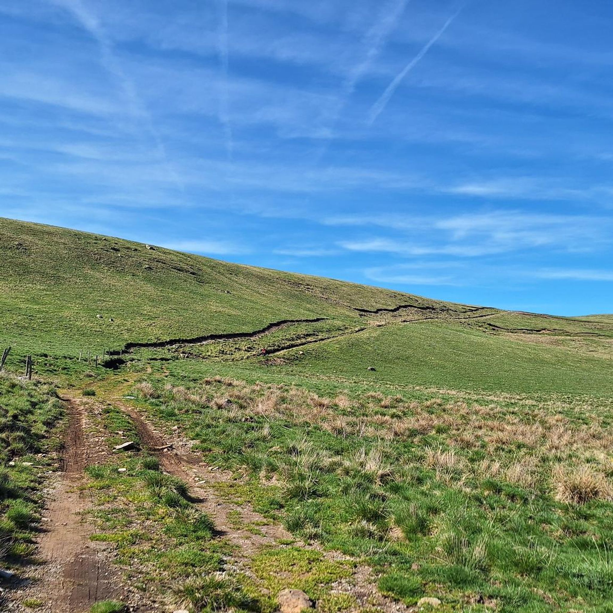
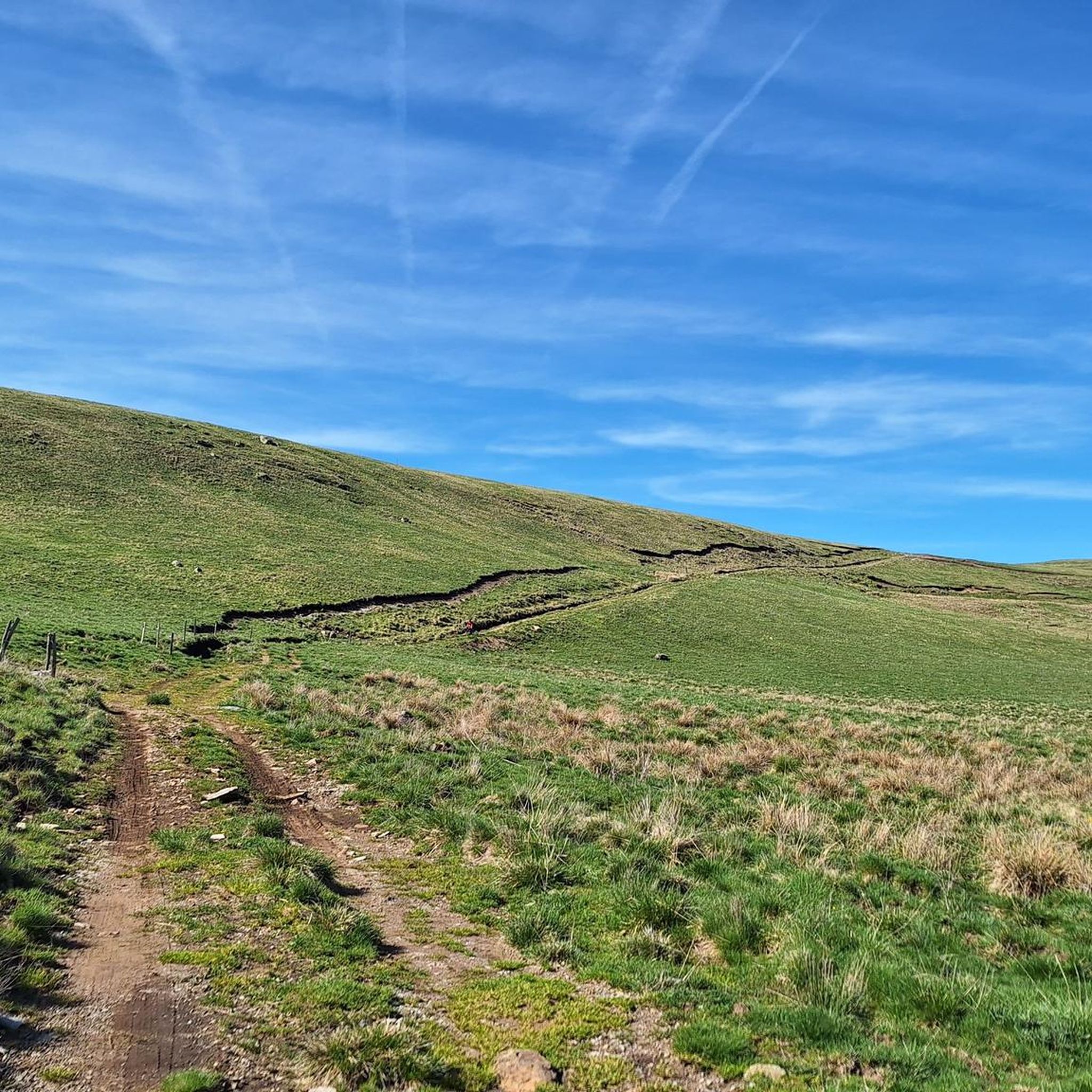
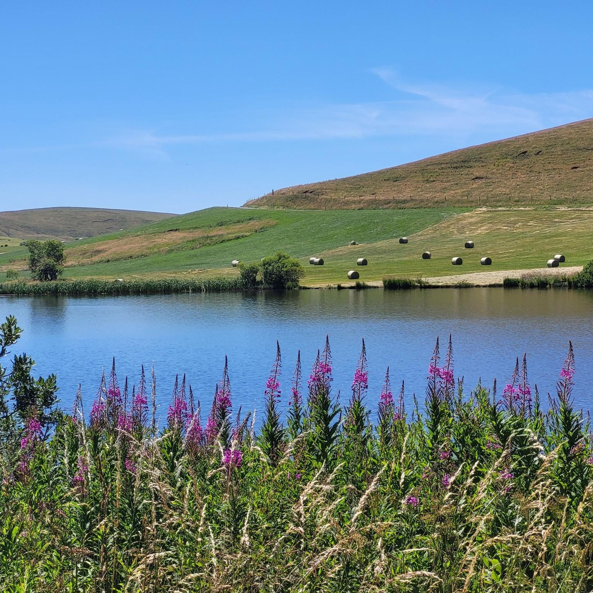
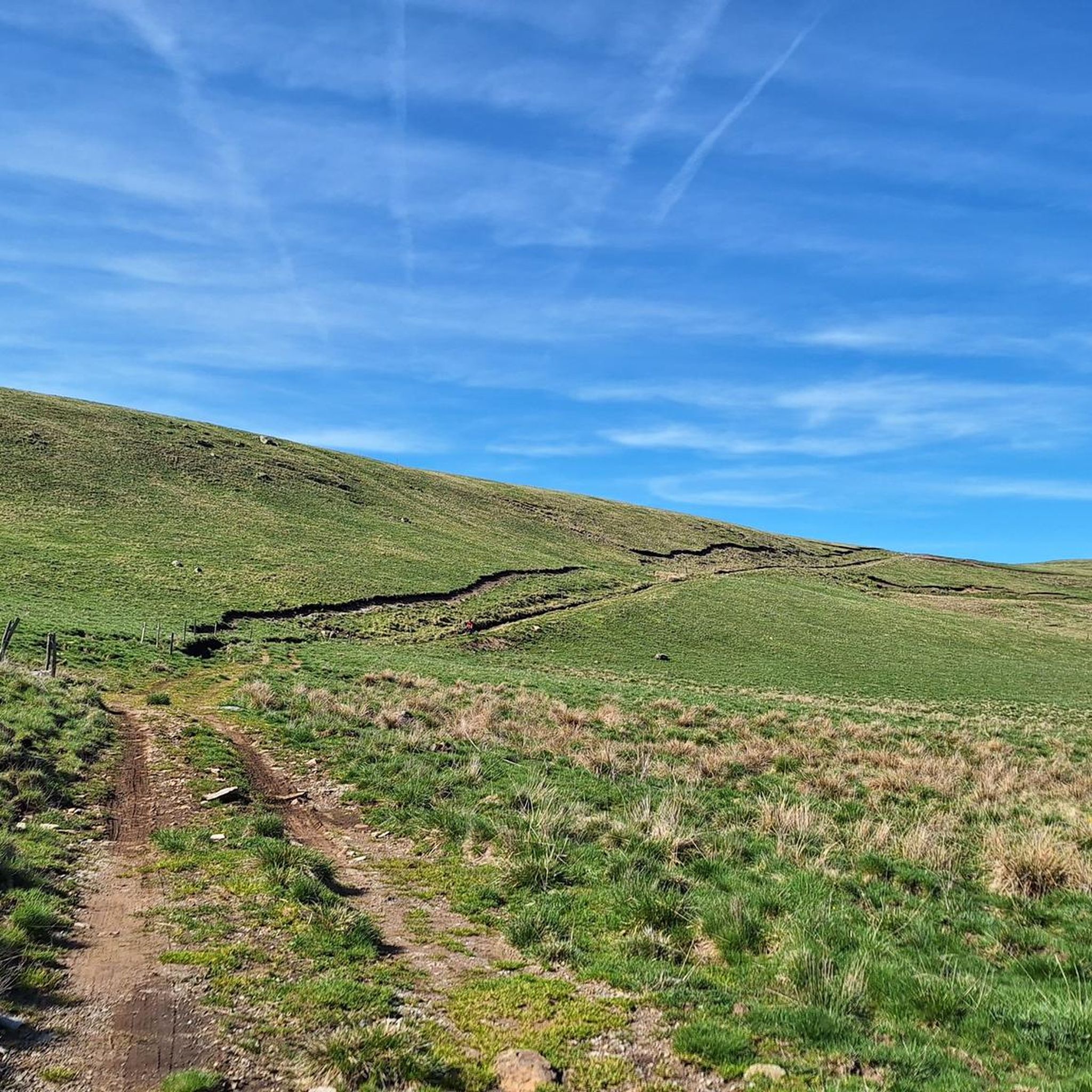
Road cycling routes around Montgreleix traverse the Cézallier area, characterized by extensive summer pastures and vast meadows. The region is influenced by the Auvergne volcanoes, providing rolling hills and country lanes. Cyclists encounter varied terrain and panoramic vistas across the high plateaus.
Best road cycling routes around Montgreleix
- The most popular road cycling route is Cézallier Plateau Loop, a 29.3 miles (47.1 km) trail that takes 2 hours 29 minutes to complete. This loop offers scenic beauty within the…
Last updated: July 1, 2026
5.0
(2)
41
riders
47.1km
02:30
900m
900m
This moderate 29.3-mile road cycling loop in the Parc naturel régional des Volcans d'Auvergne offers diverse landscapes and panoramic views.
5.0
(6)
198
riders
97.5km
05:13
1,920m
1,920m
Hard road ride. Very good fitness required. Mostly well-paved surfaces and easy to ride.

Sign up for free
11
riders
Moderate road ride. Good fitness required. Mostly well-paved surfaces and easy to ride.
4.0
(1)
10
riders
46.7km
02:40
850m
850m
Moderate road ride. Good fitness required. Some segments of this route may be unpaved and difficult to ride.
7
riders
39.6km
02:07
750m
750m
Moderate road ride. Good fitness required. Mostly well-paved surfaces and easy to ride.
Get access to more routes and recommendations from other explorers.
Sign up for free
Already have an account?
Our route recommendations are based on thousands of hikes, rides, and runs completed by other people on komoot.
Start today with a free account
Your next adventure awaits.
Login or Signup
Tips from the Community


A wonderful pass, superb landscapes! And a very beautiful route
0
0

Pleasant and fairly easy. Beautiful route.
0
0

Why didn't you make the Luguet signal? You have to go through Parrot... a place called. After the GR path... to the Luguet woods.
0
0
Not too difficult, I did it on a mountain bike.
0
0

Very pretty town center. A must-see.
0
0

Small town with church and campsite, bar unfortunately closed on Whit Monday.
0
0
Frequently Asked Questions
How many road cycling routes are available around Montgreleix?
There are over 60 road cycling routes around Montgreleix, offering a wide range of options for different skill levels. This includes 1 easy route, 32 moderate routes, and 36 difficult routes, ensuring there's something for every cyclist.
What kind of terrain can I expect on road cycling routes in Montgreleix?
Road cycling in Montgreleix traverses the unique landscapes of the Cézallier area, part of the Parc naturel régional des Volcans d'Auvergne. You can expect varied terrain, from extensive summer pastures and vast meadows to rolling, verdant hills and poetic country lanes influenced by the Auvergne volcanoes. Routes often feature high plateaus and panoramic vistas.
Are there road cycling routes suitable for beginners or less experienced cyclists in Montgreleix?
Yes, while many routes offer a challenge, there are options for less experienced cyclists. The region features 1 easy route and 32 moderate routes. These routes allow you to enjoy the scenic beauty without overly demanding climbs, focusing on the rolling hills and picturesque landscapes.
What are some challenging road cycling routes for experienced cyclists in Montgreleix?
For experienced cyclists seeking a challenge, Montgreleix offers 36 difficult routes with significant elevation gains. A notable option is the Col de la Croix Morand – Col de La Croix Morand loop from Espinchal, a nearly 98 km path with substantial climbing through the volcanic landscape.
Are there any circular road cycling routes around Montgreleix?
Many of the road cycling routes around Montgreleix are circular, allowing you to start and end in the same location. Popular loops include the Cézallier Plateau Loop, which is 47.1 km, and the Col de Montgreleix (1238 m) – Saint-Bonnet-de-Condat loop from Montgreleix, covering 38.1 km.
What natural attractions can I see along the road cycling routes in Montgreleix?
The routes often pass by stunning natural features. You can encounter beautiful waterfalls like the Cascade des Veyrines and the magnificent Saillant Waterfall. The picturesque Lac Chauvet is also a notable natural monument in the area, offering serene views.
Are there any good viewpoints on the road cycling routes in Montgreleix?
Yes, the region is known for its panoramic vistas. Many routes offer exceptional views, particularly across the Cézallier plateaus. You can find a specific View of Mont Chamaroux and the Cézallier mountains, which provides a stunning perspective of the landscape.
What is the best time of year for road cycling in Montgreleix?
The best time for road cycling in Montgreleix is generally during the warmer months, from late spring through early autumn. This period offers pleasant temperatures, vibrant green landscapes, and extensive summer pastures. While Mont Chamaroux is known for rapid snowmelt, the high plateaus can still be exposed in colder seasons, making summer ideal for enjoying the full beauty of the region.
Are there any family-friendly road cycling options around Montgreleix?
While many routes involve significant elevation, some of the moderate and easier sections can be suitable for families with older children or those accustomed to cycling. It's recommended to check the elevation profiles and distances of routes like the Col de Montgreleix (1238 m) – La Godivelle loop from Espinchal to find the best fit for your family's ability.
What do other road cyclists enjoy the most about road cycling in Montgreleix?
The area is highly rated by the komoot community, with an average score of 4.6 stars from over 30 reviews. Reviewers often praise the varied terrain, the stunning panoramic views across the Cézallier plateaus, and the quiet, poetic country lanes that make for a unique cycling experience.
Can I find amenities like cafes or accommodation in villages near the cycling routes?
Yes, villages like Montgreleix itself and nearby La Godivelle offer amenities. La Godivelle, known for its isolated charm, has a large fountain and church, and you can often find small local establishments. For more comprehensive services, larger towns in the Auvergne-Rhône-Alpes region, which boasts 2,700 km of cycle routes, will have cafes, restaurants, and accommodation options.
Is there public transport access to Montgreleix for cyclists?
Access to Montgreleix primarily relies on personal transport due to its rural location. While the broader Auvergne-Rhône-Alpes region is well-equipped for cycling, direct public transport links to Montgreleix that accommodate bikes might be limited. It's advisable to check local bus services or regional train lines for specific routes and bike carriage policies if you plan to use public transport for part of your journey.
Most popular routes around Montgreleix
Most popular attractions around Montgreleix

Get inspired with the komoot mobile app


Explore more
Browse the best Road cycling routes in other regions.
