The best road cycling routes around Montjoi
4.7
(27)
339
riders
21
rides
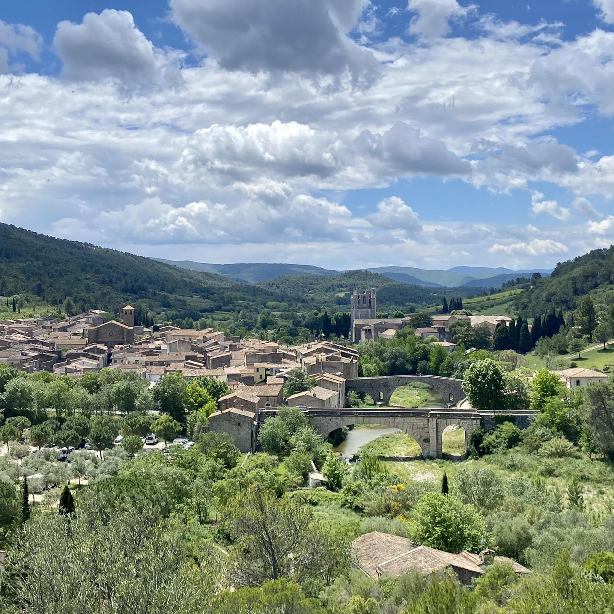
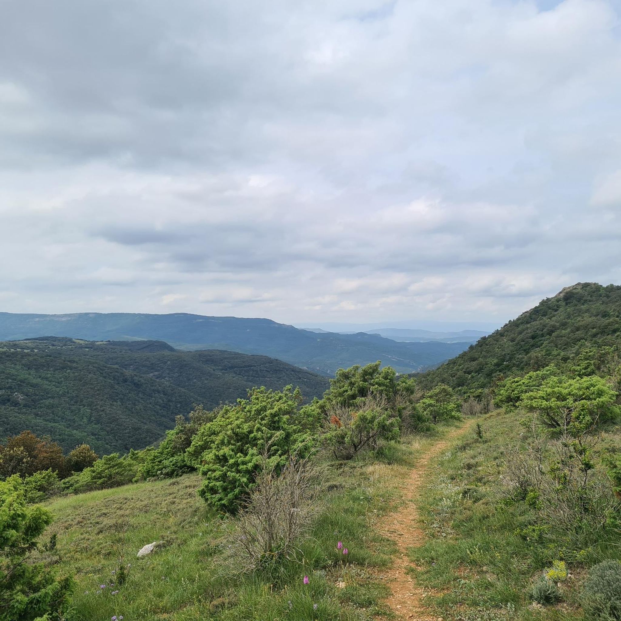
Road cycling routes around Montjoi are characterized by varied terrain, including significant elevation changes and winding roads through rural landscapes. The region features a mix of open countryside and forested sections, offering diverse backdrops for road cyclists. With numerous challenging ascents and descents, Montjoi provides routes suitable for experienced riders.
Best road cycling routes around Montjoi
- The most popular road cycling route is Fourtou waterfall – Auriac loop from Lanet, a 49.6 miles (79.8 km) trail that takes 4…
Last updated: November 4, 2026
5.0
(2)
44
riders
49.7km
02:30
830m
830m
Moderate road ride. Good fitness required. Mostly well-paved surfaces and easy to ride.
5.0
(2)
30
riders
61.7km
03:08
1,070m
1,070m
Hard road ride. Very good fitness required. Mostly well-paved surfaces and easy to ride.

5.0
(1)
28
riders
82.8km
04:19
1,530m
1,530m
Hard road ride. Very good fitness required. Mostly well-paved surfaces and easy to ride.
4.7
(6)
21
riders
50.1km
02:42
1,030m
1,030m
Hard road ride. Very good fitness required. Mostly well-paved surfaces and easy to ride.
5.0
(3)
18
riders
83.1km
04:10
1,330m
1,330m
Hard road ride. Very good fitness required. Some segments of this route may be unpaved and difficult to ride.
Get access to more routes and recommendations from other explorers.
Already have an account?
Our route recommendations are based on thousands of hikes, rides, and runs completed by other people on komoot.
Start today with a free account
Your next adventure awaits.


Tips from the Community

Here you can bathe in pools with warm water on the edge of the river. You have to walk from the town of Rennes-les-Bains.
0
0
A place that has probably seen better times. Here there are warm freshwater springs and saltwater springs. You can bathe in both. Even the Romans knew how to appreciate this place.
0
0

beautiful old town - not to be missed
0
0

Very picturesque city full of history
0
0
Beautiful medieval city with its superb abbey, unmissable.
0
0

An affordable pass offering beautiful views of the surrounding mountains
0
0
Small, easy and accessible pass, but watch out for hunters in season
0
0

One of the coolest roads out there narrow street slight decent with a bar at the end of the road.
1
1
Frequently Asked Questions
How many road cycling routes are available around Montjoi?
There are 18 road cycling routes around Montjoi, offering a variety of experiences for cyclists. The region is known for its challenging terrain, with 12 difficult routes and 6 moderate options.
Are there any easy road cycling routes in Montjoi suitable for beginners?
Montjoi's road cycling routes are generally characterized by significant elevation changes and challenging climbs. While there are no routes classified as 'easy', there are 6 moderate routes available, which may be suitable for road cyclists with some experience.
What are some of the more challenging long-distance road cycling routes in Montjoi?
For experienced riders seeking a challenge, the Col du Poteau – Medieval City of Carcassonne loop from Vignevieille is a demanding 77.3-mile (124.3 km) route with nearly 2,000 meters of ascent. Another option is the Fourtou waterfall – Auriac loop from Lanet, which covers 49.6 miles (79.8 km) with challenging climbs.
Which road cycling routes offer the best scenic viewpoints or attractions?
Many routes in Montjoi traverse scenic rural landscapes. While specific viewpoints are not always marked on every route, you can find notable attractions nearby. For instance, the region features natural wonders like the Terminet Gorges and historical sites such as Termes Castle, which can be seen from various points, including the View of Termes castle highlight.
Are there any road cycling routes that are loops, allowing me to start and end in the same place?
Yes, many of the road cycling routes around Montjoi are designed as loops. Popular options include the Camping Innature loop from Salza, a 31.2-mile (50.2 km) difficult path, and the Camping Innature loop from Lanet, a moderate 24.5-mile (39.4 km) trail.
What do other road cyclists enjoy most about road cycling in Montjoi?
The road cycling experience in Montjoi is highly rated by the komoot community, with an average score of 4.7 stars. Cyclists often praise the varied terrain, including rolling hills and forested sections, and the challenging ascents that provide rewarding views.
Can I find routes that pass by specific natural features like waterfalls?
Yes, one prominent route, the Fourtou waterfall – Auriac loop from Lanet, is specifically named for a waterfall, indicating it passes by or near this natural attraction.
Is it possible to download GPX tracks for the road cycling routes in Montjoi?
Yes, for all routes available on komoot, you can download the GPX track directly from the route page. This allows you to navigate using your preferred GPS device or app.
What is the typical terrain like for road cycling in Montjoi?
Road cycling in Montjoi is characterized by varied terrain, including significant elevation changes, winding roads, and a mix of open countryside and forested sections. Expect rolling hills, valleys, and numerous challenging ascents and descents.
Are there any routes that explore the area around Termes?
Yes, the Cucugnan – Redoulade Pass loop from Termes is a difficult 49.5-mile (79.6 km) route that starts from Termes, offering a challenging ride through the local landscape.
What is the best time of year to go road cycling in Montjoi?
While specific data isn't provided, regions with varied terrain like Montjoi are generally best for road cycling during spring and autumn. These seasons typically offer milder temperatures and more stable weather conditions, making challenging climbs more enjoyable than in the peak heat of summer.
Most popular routes around Montjoi
Most popular attractions around Montjoi

Get inspired with the komoot mobile app


Explore more
Browse the best Road cycling routes in other regions.
