The best walks and hikes around Villeseneux
4.7
(16)
89
hikers
10
hikes
Hiking around Villeseneux offers access to diverse landscapes within the Marne department of northeastern France. The region is characterized by a mix of dense forests, expansive vineyards, and rolling hills, shaped by chalk, sand, and limestone. Valleys and waterways are also common features, providing varied terrain for outdoor activities. The area provides a convenient base for exploring the natural and viticultural heritage of the Champagne region.
Best hiking trails around Villeseneux
- The most popular hiking route is Mont Aimé Viewpoint…
Last updated: July 2, 2026
7
hikers
6.04km
01:41
110m
110m
Easy hike. Great for any fitness level. Easily-accessible paths. Suitable for all skill levels.
4.0
(1)
9
hikers
10.9km
03:01
180m
180m
Moderate hike. Good fitness required. Easily-accessible paths. Suitable for all skill levels.

Sign up for free
5.0
(4)
11
hikers
8.37km
02:16
120m
120m
Moderate hike. Good fitness required. Easily-accessible paths. Suitable for all skill levels.
5.0
(1)
4
hikers
5.56km
01:33
100m
100m
Easy hike. Great for any fitness level. Easily-accessible paths. Suitable for all skill levels.
2
hikers
4.68km
01:12
20m
20m
Easy hike. Great for any fitness level. Easily-accessible paths. Suitable for all skill levels.
Get access to more routes and recommendations from other explorers.
Sign up for free
Already have an account?
Our route recommendations are based on thousands of hikes, rides, and runs completed by other people on komoot.
Start today with a free account
Your next adventure awaits.
Login or Signup

Tips from the Community

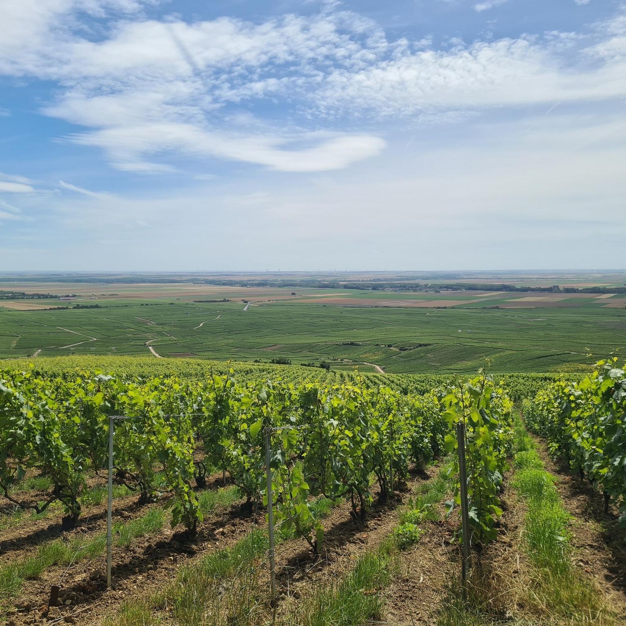
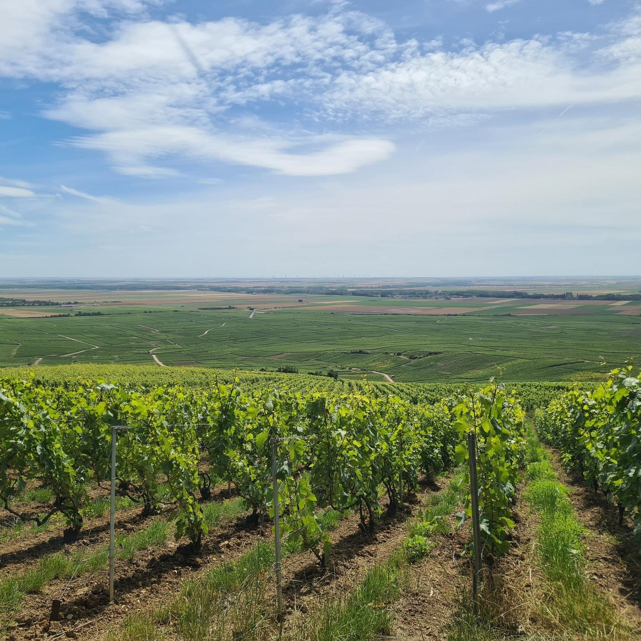
Beautiful view of Champagne, some passages at 13/14°.
0
0

A hill with an altitude of 240 meters. It offers beautiful panoramic views of the Côte des Blancs vineyards, the surrounding villages and the fields.
0
0
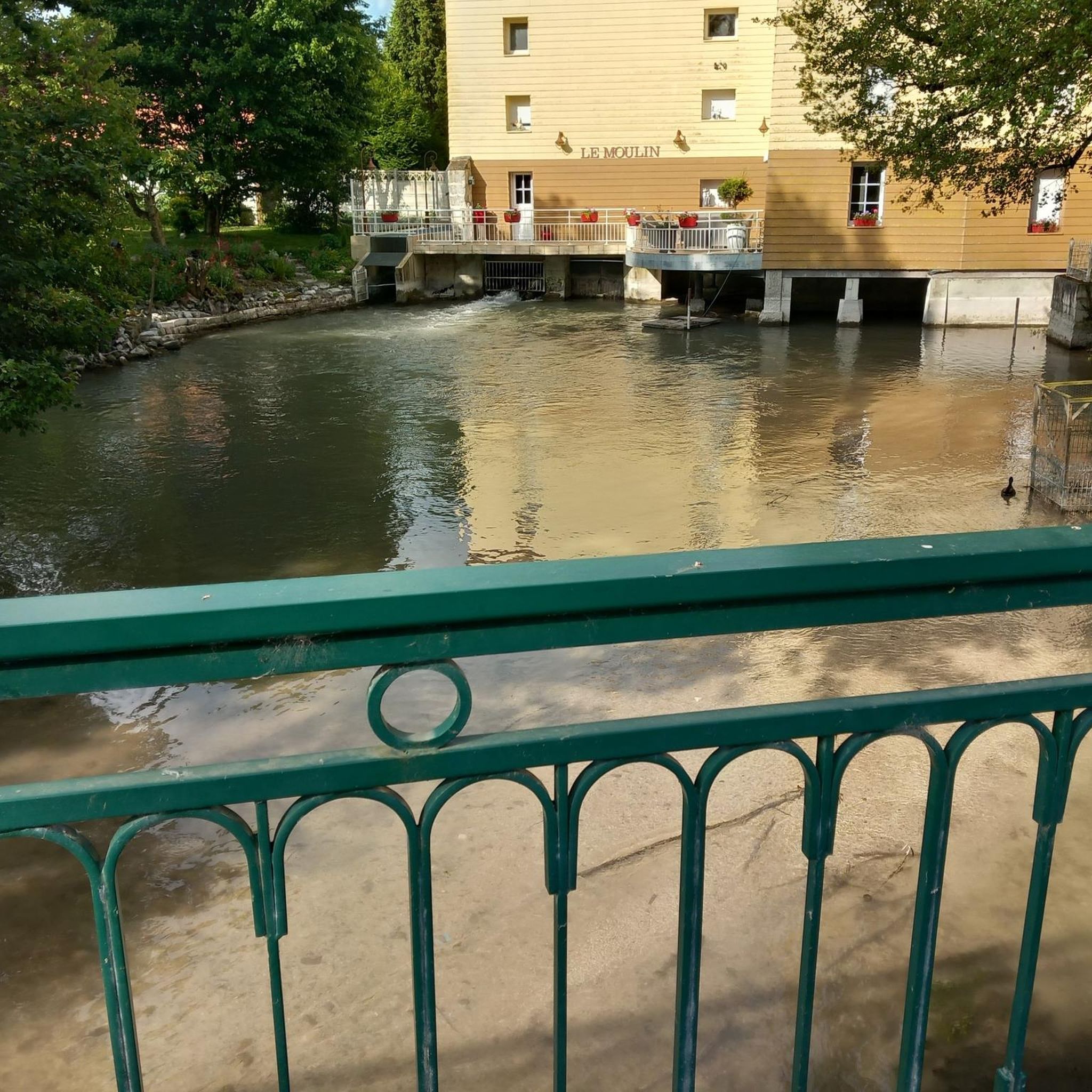
Very beautiful Romanesque church. Very beautiful organ. The most spectacular are the crypts which you should not hesitate to discover: they are very well preserved. A very beautiful room is dedicated to Saint Anne. You can also discover an ancient sarcophagus. You can also see swans in the pond in front of the church.
1
1
Frequently Asked Questions
How many hiking trails are available around Villeseneux?
There are 8 hiking routes available around Villeseneux, offering a mix of easy and moderate excursions through the region's diverse landscapes.
What kind of terrain can I expect on hikes near Villeseneux?
The terrain around Villeseneux is varied, characterized by dense forests, expansive vineyards, and rolling hills. You'll encounter landscapes shaped by chalk, sand, and limestone, with valleys and waterways also common, especially in areas like the Montagne de Reims Regional Natural Park and the Forêt de la Traconne.
Are there any easy hiking trails suitable for beginners or families?
Yes, Villeseneux offers several easy hiking trails. For instance, the Mont Aimé Viewpoint – Mont-Aimé loop from Bergères-lès-Vertus is an easy 6 km route that takes about 1 hour 40 minutes to complete, offering pleasant views.
What are some notable natural features or landmarks to look out for on hikes?
While hiking near Villeseneux, you can explore significant natural features such as the *Faux de Verzy* in the Montagne de Reims Regional Natural Park, known for its unique twisted beech trees. The Forêt de la Traconne also features the historic Carrefour de l'étoile with its 18th-century sandstone column. Many trails also offer panoramic views of the Champagne vineyards.
Are there any circular hiking routes available?
Yes, many routes around Villeseneux are circular. For example, the Aviz loop from Bergères-lès-Vertus is a moderate 8.9 km circular trail, and the Porte Baudet – Eglise St. Martin and Swan loop from Vertus is an easy 4.8 km loop.
What do other hikers say about the trails around Villeseneux?
The hiking routes around Villeseneux are highly rated by the komoot community, with an average score of 4.6 stars from over 10 reviews. Hikers often praise the varied terrain, from vineyards to forests, and the well-maintained paths that lead to scenic viewpoints.
Can I find trails that offer good viewpoints?
Absolutely. Many trails provide excellent viewpoints, particularly those in the Montagne de Reims area and around Mont Aimé. The Mont Aimé Viewpoint – Mont-Aimé loop is specifically designed to offer views towards Mont Aimé, and the View of Mont Aimée – Aviz loop also provides open landscape vistas.
Is it possible to access hiking trails near Villeseneux using public transport?
While Villeseneux itself is a small commune, the wider Marne department and the Montagne de Reims Regional Natural Park are accessible. For detailed public transport information to specific trailheads, it's advisable to check local transport schedules for towns like Vertus or Bergères-lès-Vertus, which are starting points for some routes.
Are there any specific parks or natural areas I should explore for hiking?
Yes, the Montagne de Reims Regional Natural Park, located about 34 kilometers from Villeseneux, is a prime destination with over 400 kilometers of marked trails through forests, vineyards, and villages. Another significant area is the Forêt de la Traconne, approximately 42 kilometers away, offering extensive forest hiking circuits. You can find more information about the Montagne de Reims Regional Natural Park on the Châlons-en-Champagne Tourism website.
What is the best time of year to go hiking around Villeseneux?
The Champagne region, including the areas around Villeseneux, is beautiful for hiking in spring and autumn. Spring brings blooming vineyards and mild temperatures, while autumn offers stunning fall foliage and harvest season activity. Summer is also pleasant, though it can be warmer, and winter hiking is possible, but conditions may vary, especially in forested areas.
Are there any moderate difficulty trails for more experienced hikers?
Yes, there are moderate trails for those seeking a bit more challenge. The Bat cave – Eglise St. Martin and Swan loop from Vertus is a moderate 10.9 km path that features varied terrain and passes by local landmarks, taking around 3 hours to complete.
Where can I find parking for hiking trails near Villeseneux?
For trails starting in villages like Bergères-lès-Vertus or Vertus, you can typically find parking in or near the village centers. It's always recommended to check local signage for designated parking areas when planning your hike in rural France.

Get inspired with the komoot mobile app


Explore more
Browse the best Hikes in other regions.
