The best walks and hikes around Saint-Bonnet-De-Condat
4.2
(89)
618
hikers
50
hikes
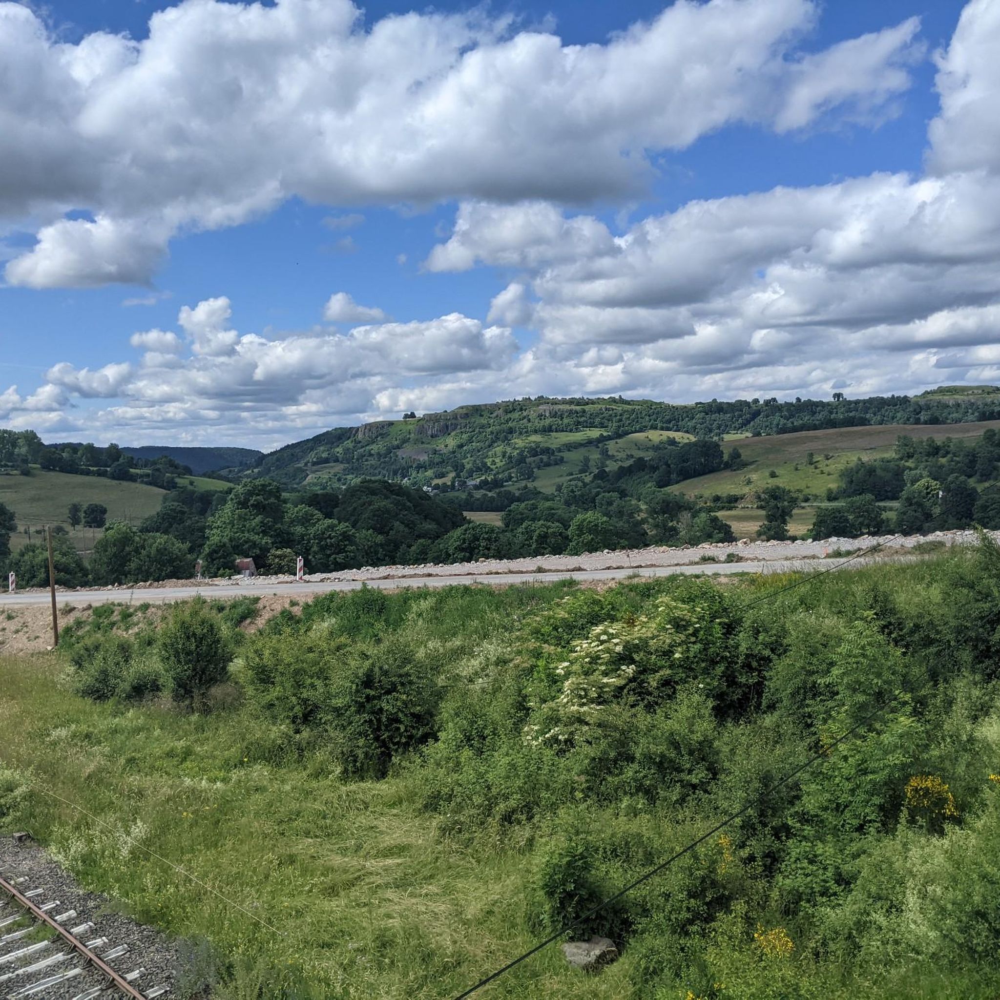
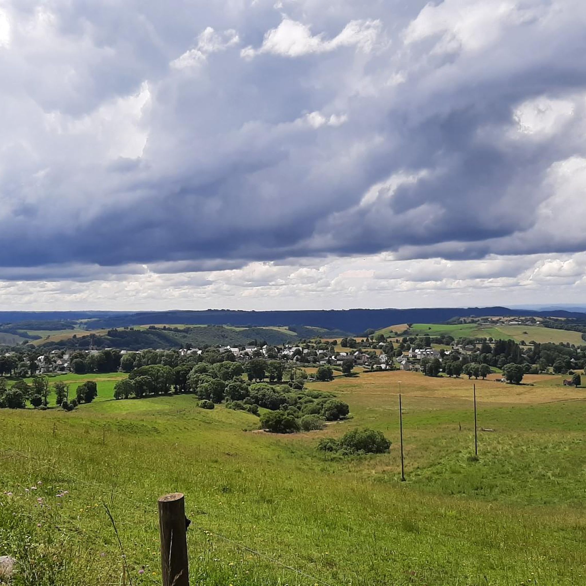
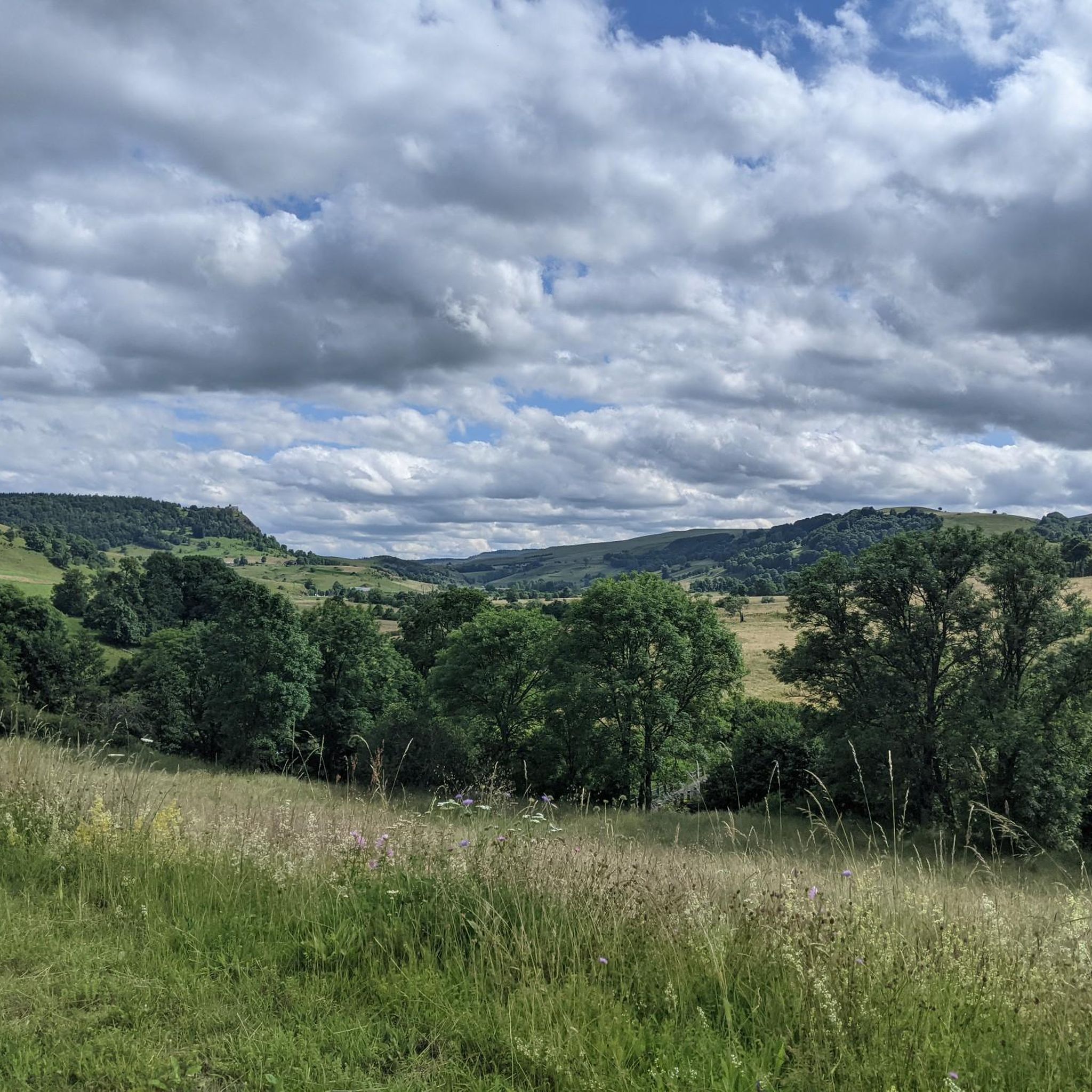
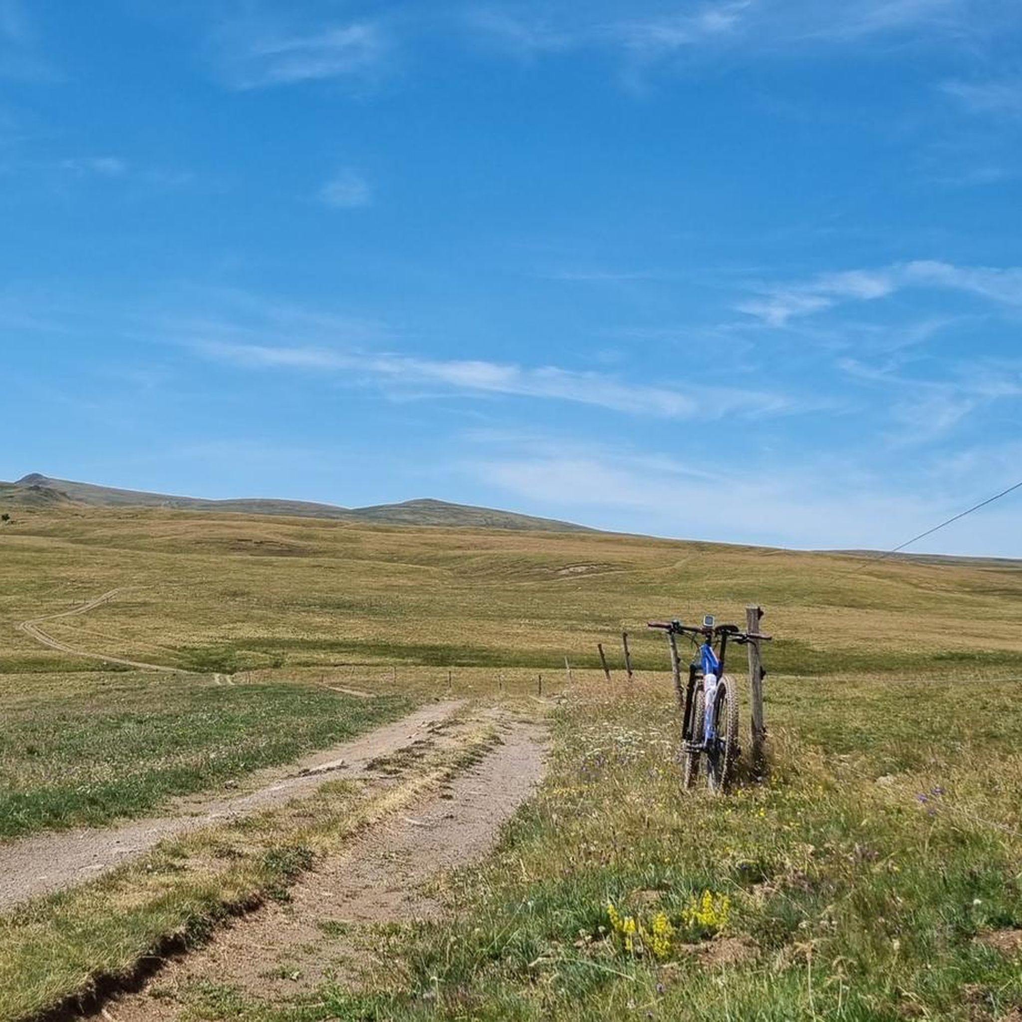
Hiking trails around Saint-Bonnet-De-Condat traverse a landscape shaped by volcanic origins, located within the Auvergne Volcanoes Regional Natural Park. The region features basaltic structures, river gorges like the Gorges de la Santoire, and waterfalls such as the Saillant Waterfall, which drops 20 meters over volcanic organs. Hikers can experience views of the Monts du Cantal, Lac de Jolan, and the Cézallier mountains.
Best hiking trails around Saint-Bonnet-De-Condat
- The most popular hiking route is Les Trois Pierres - loop starting from…
Last updated: June 29, 2026
3.5
(2)
9
hikers
Moderate hike. Good fitness required. Mostly accessible paths. Sure-footedness required.
3.6
(5)
24
hikers
6.76km
02:00
200m
200m
Moderate hike. Good fitness required. Easily-accessible paths. Suitable for all skill levels.

Sign up for free
5.0
(1)
12
hikers
22.1km
06:12
440m
440m
Hard hike. Very good fitness required. Easily-accessible paths. Suitable for all skill levels.
9
hikers
6.20km
01:45
130m
130m
Easy hike. Great for any fitness level. Easily-accessible paths. Suitable for all skill levels.
6
hikers
14.8km
04:14
320m
330m
Moderate hike. Good fitness required. Easily-accessible paths. Suitable for all skill levels.
Get access to more routes and recommendations from other explorers.
Sign up for free
Already have an account?
Our route recommendations are based on thousands of hikes, rides, and runs completed by other people on komoot.
Start today with a free account
Your next adventure awaits.
Login or Signup

Tips from the Community

Small town with church and campsite, bar unfortunately closed on Whit Monday.
0
0
Tourist train station, but not on Pentecost 🤔😜 A beautiful viaduct near the station. More info: www.gentiane-express.com
0
0
small church in the village, there is also a small bar nearby that is even open on Whit Monday.
2
0

Terminus of the draisine of Landeyrat and terminus of the Gentiane Express of Riom-ès-Montagnes
1
0

Saint-Bonnet-de-Condat is a typical rural town of Cézalliers. Behind its bucolic appearance, you can observe the surprising geology that overlooks the village. In others, to the north of the town, a cliff of volcanic organs rises to the sky. Despite its hundred inhabitants, you will find a grocery store, a bar and a campsite.
0
0
The Saint-Blaise de Marcenat church was built between the 12th and 13th centuries. It retains only rare original elements of its construction, typical of Romanesque architecture, within its nave. It has been on the list of historical monuments since 1992.
0
0

The Barajol viaduct near Riom, with its 57m height, is one of the highest masonry viaducts in France. Formerly a work of art on the Bort-Neussargues line, it is now one of the attractions of the Gentiane Express tourist line, which follows the route of the old SNCF line.
0
0

Small village in the heart of the Monts du Cantal, located along the Gorges de la Santoire.
2
0
Frequently Asked Questions
How many hiking trails are available in Saint-Bonnet-De-Condat?
There are over 45 hiking trails around Saint-Bonnet-De-Condat, offering a diverse range of experiences. These routes vary in difficulty, from easy walks to more challenging expeditions, all set within the stunning volcanic landscapes of the Auvergne Volcanoes Regional Natural Park.
Are there easy hiking trails suitable for beginners or families?
Yes, Saint-Bonnet-De-Condat offers several easy trails perfect for beginners or families. For instance, the Cascades loop from Pradiers is a shorter route, and the Route du Jolan, mentioned in the region research, is also considered family-friendly, offering scenic views of the Monts du Cantal and Lac de Jolan.
Can I find circular hiking routes in the area?
Absolutely. Many trails in Saint-Bonnet-De-Condat are designed as loops, allowing you to start and end at the same point. Popular options include the Les Trois Pierres - loop starting from Marchastel and the Plateau – Saint-Bonnet-de-Condat loop from Saint-Bonnet-de-Condat, which takes you through varied terrain.
Are there any waterfalls to see while hiking in Saint-Bonnet-De-Condat?
Yes, the region is home to beautiful waterfalls. The Saillant Waterfall is a significant highlight, featuring a magnificent 20-meter drop over volcanic organs. You can experience this on the Saillant Waterfall – View of Le Fayet loop from Le Godde trail. The Cascade des Veyrines is another notable natural monument in the area.
What kind of landscapes can I expect to see on the trails?
Hikers in Saint-Bonnet-De-Condat can expect a diverse landscape shaped by its volcanic origins. You'll encounter striking basaltic structures, serene river gorges like the Gorges de la Santoire, and panoramic views of the Monts du Cantal, Lac de Jolan, Mont Chamaroux, and the rolling Cézallier mountains. The scenery alternates between verdant hills, plains, and volcanic peaks.
Are the hiking trails in Saint-Bonnet-De-Condat dog-friendly?
While specific regulations can vary, many natural trails in the Auvergne Volcanoes Regional Natural Park generally welcome dogs, often requiring them to be on a leash to protect local wildlife and ensure the safety of other hikers. It's always best to check specific trail signage or local park guidelines for the most current information.
What are some scenic viewpoints or landmarks to look out for?
The region offers numerous scenic viewpoints. You can enjoy panoramic views of the Monts du Cantal and Lac de Jolan. The View of Mont Chamaroux and the Cézallier mountains is a popular highlight. Additionally, the village of Saint-Bonnet-de-Condat itself is a charming settlement to explore.
What is the best season for hiking in Saint-Bonnet-De-Condat?
The best season for hiking in Saint-Bonnet-De-Condat is typically from spring to autumn, when the weather is mild and the landscapes are vibrant. Spring brings blooming flora, while summer offers warm, sunny days. Autumn provides stunning fall colors across the volcanic terrain. Winter hiking is possible but may require appropriate gear for snow and ice.
Are there any challenging hikes for experienced hikers?
Yes, for experienced hikers seeking a challenge, there are more demanding routes. The View of Le Fayet – Saillant Waterfall loop from Montgreleix is a difficult 26.8 km trail with significant elevation gain, offering a rewarding experience for those with good fitness.
What do other hikers enjoy most about hiking in Saint-Bonnet-De-Condat?
The area is highly rated by the komoot community, with an average score of 4.4 stars from over 80 reviews. Hikers often praise the diverse volcanic formations, the serene river gorges, and the stunning mountain views. The well-marked paths and the variety of routes catering to different ability levels are also frequently highlighted.
Are there opportunities to explore the region's volcanic geology?
Yes, the entire region is profoundly shaped by its volcanic origins. Hikers can observe striking basaltic structures, including a prominent cliff of volcanic organs north of the village. The trails offer an immersive experience into the geological history of the Auvergne Volcanoes Regional Natural Park.
How long do hikes typically take in Saint-Bonnet-De-Condat?
Hike durations vary significantly depending on the trail's length and difficulty. Shorter, easy loops like the Plateau – Saint-Bonnet-de-Condat loop can be completed in about 2 hours. Moderate trails, such as the Les Trois Pierres loop, typically take around 4 hours, while difficult routes can extend to a full day of hiking.
Most popular routes around Saint-Bonnet-De-Condat
Most popular attractions around Saint-Bonnet-De-Condat

Get inspired with the komoot mobile app


Explore more
Browse the best Hikes in other regions.
