The best walks and hikes around Bruges-Capbis-Mifaget
4.3
(224)
2,453
hikers
86
hikes
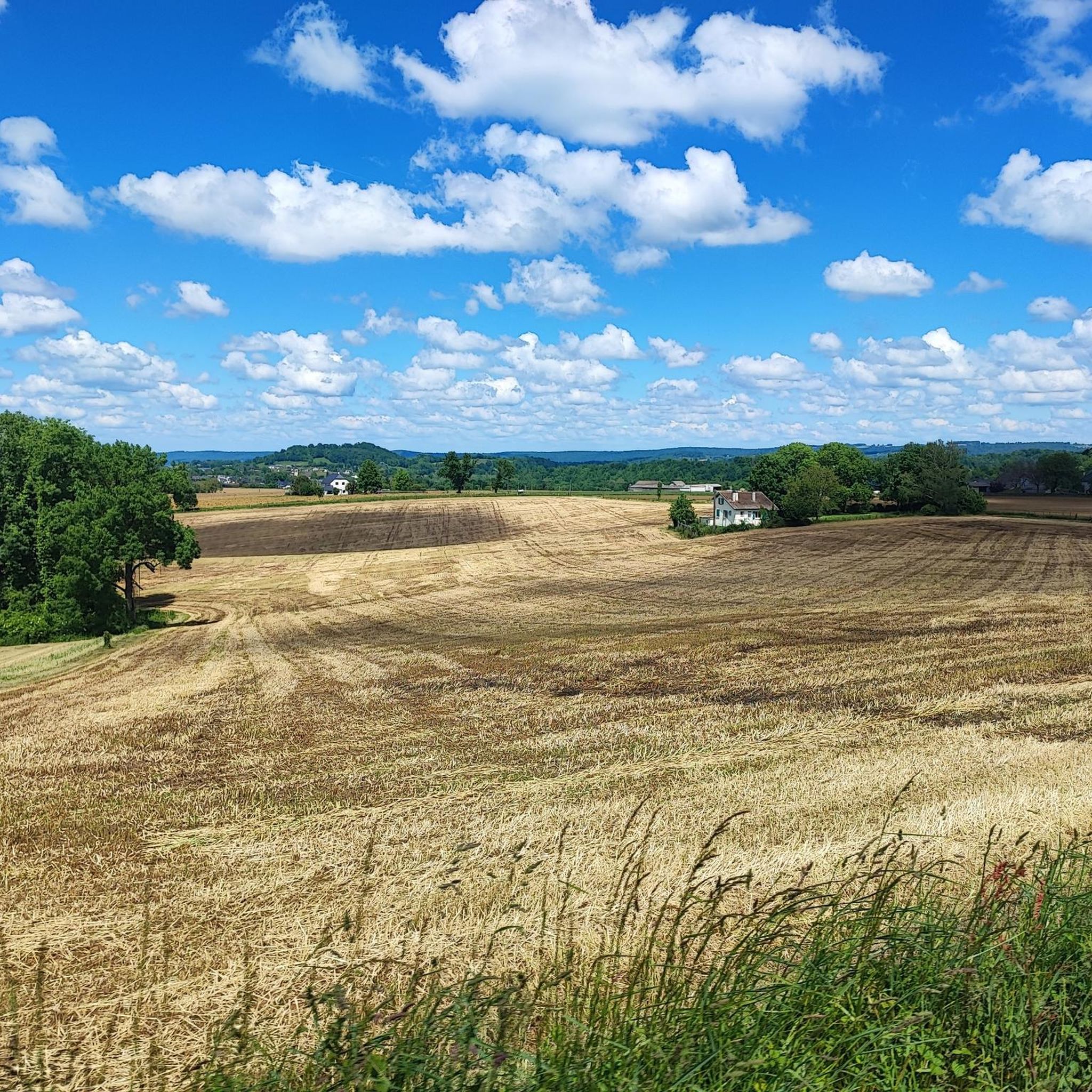
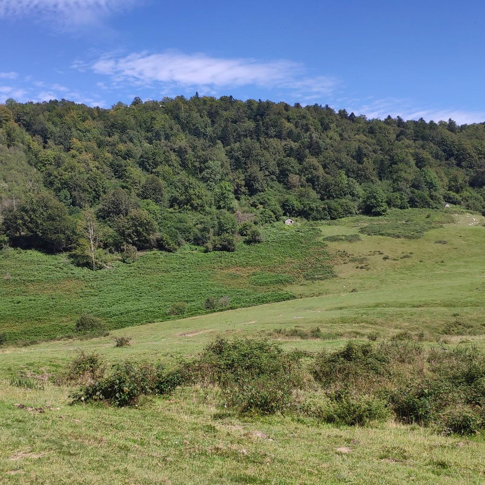
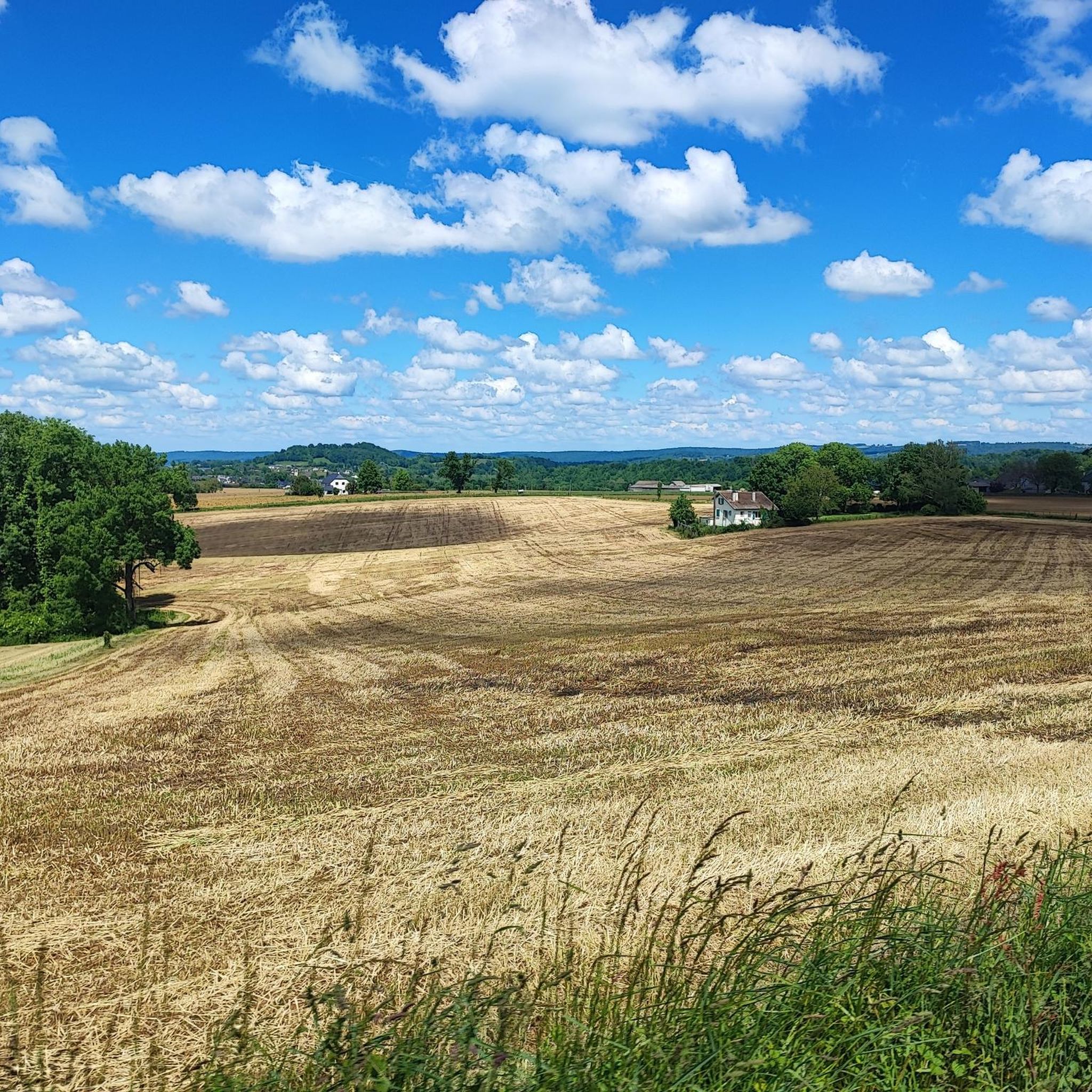
Hiking around Bruges-Capbis-Mifaget offers access to diverse terrain in the foothills of the Pyrenees mountains. The region, situated in the Pyrénées-Atlantiques department, features rolling hills and valleys, providing a varied landscape for outdoor activities. This area serves as a gateway to the Pyrenees, offering a backdrop of mountains and opportunities to explore natural features. The local geography includes a mix of agricultural tracks and forested areas.
Best hiking trails around Bruges-Capbis-Mifaget
- The most popular hiking route is Gravel Path by Lac de Baudreix loop from Nay, an easy 4.4 miles (7.2 km) trail that takes 1 hour 50 minutes to complete. This route offers a gentle path around Lac de Baudreix.
- Another top favourite among local hikers is Col de Nabails loop from Arthez-d'Asson, a moderate 6.0 miles (9.6 km) path. This trail features ascents through rolling hills with views towards the Pyrenees.
- Local hikers also love the Pas de Broc Peak loop from Moncaut, an 8.3 miles (13.4 km) trail leading through the Pyrenees foothills, often completed in about 5 hours 21 minutes.
- Hiking around Bruges-Capbis-Mifaget is defined by its Pyrenees mountain backdrop, rolling hills, and varied valleys like the Vallée d'Ossau. The network of trails offers options for easy strolls, moderate excursions, and more challenging routes.
- The routes in Bruges-Capbis-Mifaget are highly rated by the komoot community with an average score of 4.5 stars from over 190 reviews. More than 2,200 hikers have used komoot to explore Bruges-Capbis-Mifaget's varied terrain.
Last updated: July 4, 2026
3.0
(1)
17
hikers
9.74km
03:45
680m
680m
Moderate hike. Good fitness required. Easily-accessible paths. Suitable for all skill levels.
2.0
(1)
17
hikers
13.5km
05:22
1,000m
1,000m
Hard hike. Very good fitness required. Easily-accessible paths. Suitable for all skill levels.

Sign up for free
5.0
(1)
14
hikers
20.4km
07:26
1,220m
1,220m
Hard hike. Very good fitness required. Easily-accessible paths. Suitable for all skill levels.
4.0
(3)
23
hikers
6.92km
01:46
30m
30m
Easy hike. Great for any fitness level. Easily-accessible paths. Suitable for all skill levels.
4.5
(2)
14
hikers
27.5km
07:55
680m
670m
Hard hike. Very good fitness required. Easily-accessible paths. Suitable for all skill levels.
Get access to more routes and recommendations from other explorers.
Sign up for free
Already have an account?
Our route recommendations are based on thousands of hikes, rides, and runs completed by other people on komoot.
Start today with a free account
Your next adventure awaits.
Login or Signup
Tips from the Community

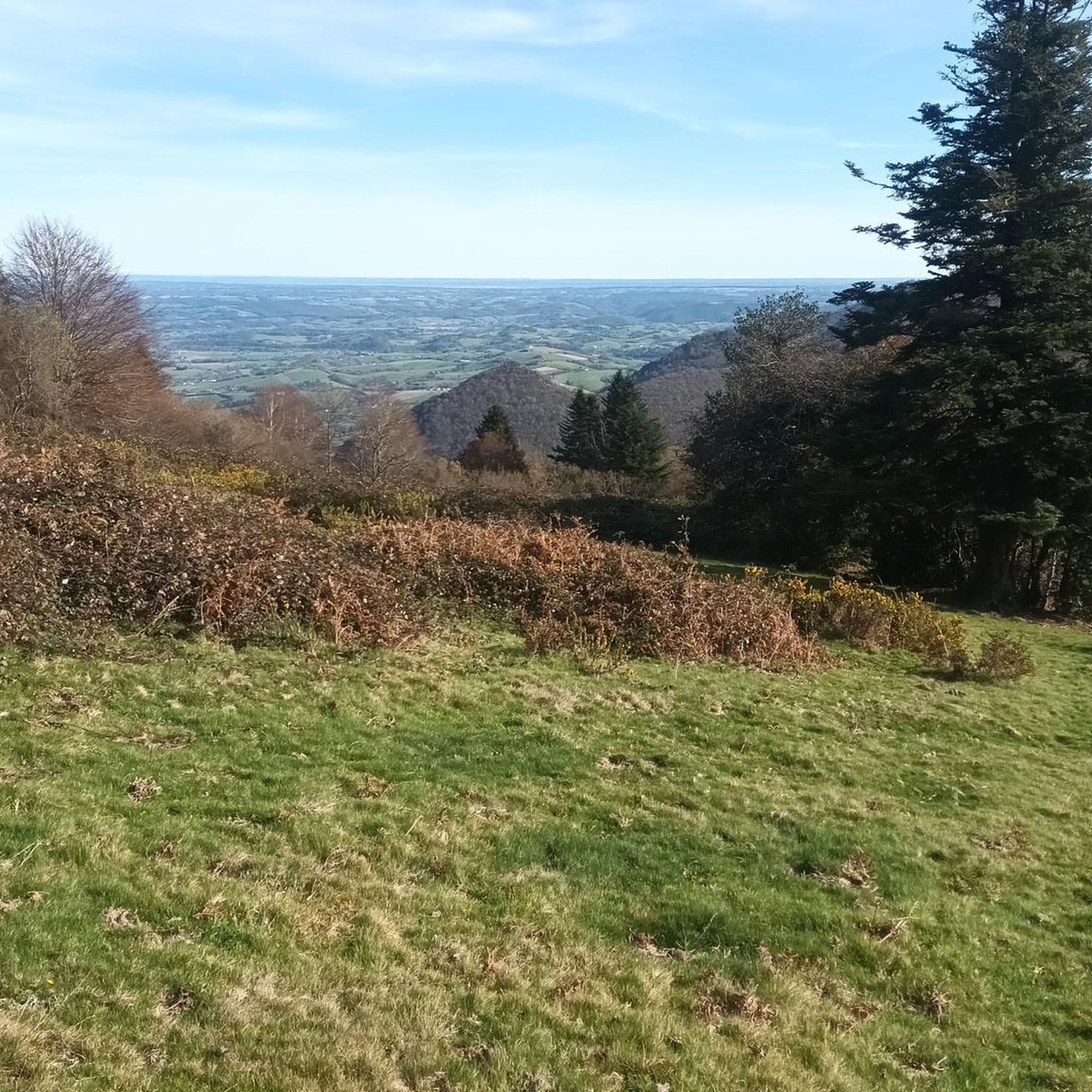
Beautiful viewpoint overlooking the plain and Arthez d'Asson. Follow the track from Pedehourat to get there or through the forest from Arthez d'Asson. Continue the track to reach the Pic du Merdanson.
0
0
Magnificent panorama at the foot of the Pic du Merdanson.
1
0
Superb viewpoint over the Ouzoum Valley. At the foot of the Pic du Merdanson. 360° panorama
0
0

Made the route with the help of hiking app Komoot
0
0

Edge of the wooded and calm Gave
0
1

Small gravel section on the shores of Lake Baudreix to join cycle route 81
0
1

Superb view of the gabizos in the distance and the entrance to the Ouzom valley on the other side.
2
0
Frequently Asked Questions
What kind of terrain can I expect on hikes around Bruges-Capbis-Mifaget?
The region offers diverse terrain, from rolling hills and valleys to the foothills of the Pyrenees mountains. You'll find a mix of agricultural tracks, forested areas, and more rugged mountain paths, providing varied landscapes for all types of hikers.
Are there any easy, family-friendly hiking options in Bruges-Capbis-Mifaget?
Yes, there are many easy trails suitable for families. A popular choice is the Gravel Path by Lac de Baudreix loop from Nay, which is an easy 7.2 km route around Lac de Baudreix. Another similar easy option is the Gravel Path by Lac de Baudreix loop from Mirepeix.
What are some moderate hiking trails in the area?
For a moderate challenge, consider the Col de Nabails loop from Arthez-d'Asson. This 9.6 km path features ascents through rolling hills and offers scenic views towards the Pyrenees.
Are there challenging hikes for experienced trekkers?
Absolutely. For more strenuous adventures, you can explore routes like the Pas de Broc Peak loop from Moncaut, an 13.4 km trail through the Pyrenees foothills. Another demanding option is the Merdanson Peak loop from Arthez-d'Asson, which covers over 18 km with significant elevation gain.
What natural features or landmarks can I see while hiking?
The region is rich in natural beauty and historical sites. You'll find stunning views of the Pyrenees mountains and rolling hills. Nearby attractions include the Old Betharram bridge and the charming town of Lestelle-Bétharram. The Vallée d'Ossau is also a notable nearby area for exploration.
Are there any circular hiking routes available?
Yes, many trails in Bruges-Capbis-Mifaget are designed as loops. Examples include the easy Gravel Path by Lac de Baudreix loop from Nay, the moderate Col de Nabails loop from Arthez-d'Asson, and the more challenging Pas de Broc Peak loop from Moncaut.
What do other hikers say about the trails in Bruges-Capbis-Mifaget?
The hiking trails in Bruges-Capbis-Mifaget are highly regarded by the komoot community, with an average rating of 4.5 stars from over 190 reviews. Hikers often praise the diverse landscapes, the stunning Pyrenees backdrop, and the variety of routes available for all skill levels.
How many hiking routes are there in Bruges-Capbis-Mifaget?
There are over 75 hiking routes available in Bruges-Capbis-Mifaget, catering to various fitness levels. This includes approximately 30 easy, 38 moderate, and 9 difficult trails.
Is Bruges-Capbis-Mifaget a good destination for winter hiking or snowshoeing?
While the immediate area offers year-round hiking, its proximity to the Pyrenees makes it a gateway for winter activities. Snowshoeing is popular in the higher elevations during winter months, with routes like the easy winter hike to the Refuge du Haugarou from Col de Couraduque being accessible.
What is the best time of year to go hiking in Bruges-Capbis-Mifaget?
Bruges-Capbis-Mifaget is an excellent destination for hiking throughout much of the year. Spring and autumn offer pleasant temperatures and vibrant scenery, while summer is ideal for exploring higher mountain trails. Even winter provides opportunities for snowshoeing in the nearby Pyrenees.
Are there any historical trails or paths in the region?
Yes, a section of the historic Chemin du Piémont Pyrénéen, part of the Camino de Santiago, passes through the area. This trail traverses scenic hillsides, offering views of the Pyrenees and leading through historical sites like Mifaget with its Romanesque church and Sainte-Colome with its old houses.
Most popular routes around Bruges-Capbis-Mifaget
Most popular attractions around Bruges-Capbis-Mifaget

Get inspired with the komoot mobile app


Explore more
Browse the best Hikes in other regions.
