The best running trails around Neudorf-Bornstein
4.4
(406)
7,293
runners
405
runs
Jogging around Neudorf-Bornstein offers diverse running routes through natural landscapes. The region features a mix of open fields, forested areas, and paths around water bodies like Windebyer Noor. Many trails are easily accessible, catering to various fitness levels and providing opportunities to explore the local environment.
Best jogging routes around Neudorf-Bornstein
- The most popular jogging route is Scenic Field Path loop from Gettorf, a 4.9 miles (7.9 km) trail that takes 50 minutes to complete, offering views of the…
Last updated: May 14, 2026
3.0
(2)
22
runners
7.91km
00:50
30m
30m
Moderate run. Good fitness required. Mostly paved surfaces. Suitable for all skill levels.
3.0
(2)
18
runners
7.60km
00:49
30m
20m
Moderate run. Good fitness required. Mostly paved surfaces. Suitable for all skill levels.

Sign up for free
18
runners
3.38km
00:21
10m
10m
Easy run. Great for any fitness level. Mostly paved surfaces. Suitable for all skill levels.
5.0
(1)
16
runners
Moderate run. Good fitness required. Mostly paved surfaces. Suitable for all skill levels.
5.0
(1)
15
runners
Moderate run. Good fitness required. Mostly paved surfaces. Suitable for all skill levels.
Get access to more routes and recommendations from other explorers.
Sign up for free
Already have an account?
Our route recommendations are based on thousands of hikes, rides, and runs completed by other people on komoot.
Start today with a free account
Your next adventure awaits.
Login or Signup

Tips from the Community

A place for quiet reflection, part of the Küstenfrieden burial forest... From here there is a beautiful view of the coast towards Eckernförde.
1
0
A lagoon has formed here due to the promontory... A very beautiful spot where you can still find peace and quiet... If you take your time, you can observe numerous water birds... There is also a nicely situated campsite right on the lagoon.
2
0
A lagoon has formed here due to the promontory... A very beautiful spot where you can still find peace and quiet... If you take your time, you can observe numerous water birds... There is also a nicely situated campsite right on the lagoon.
2
0

Atmospheric place in the Friedwald with a view
2
0

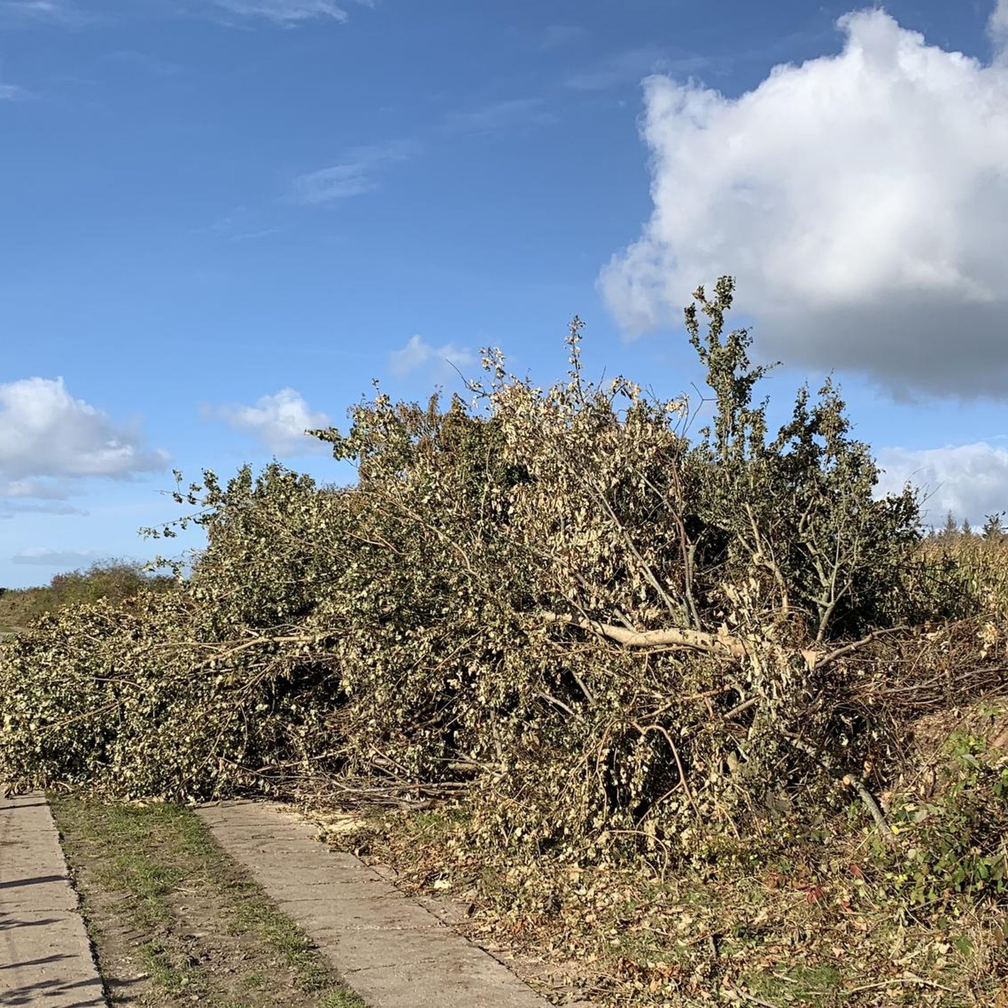
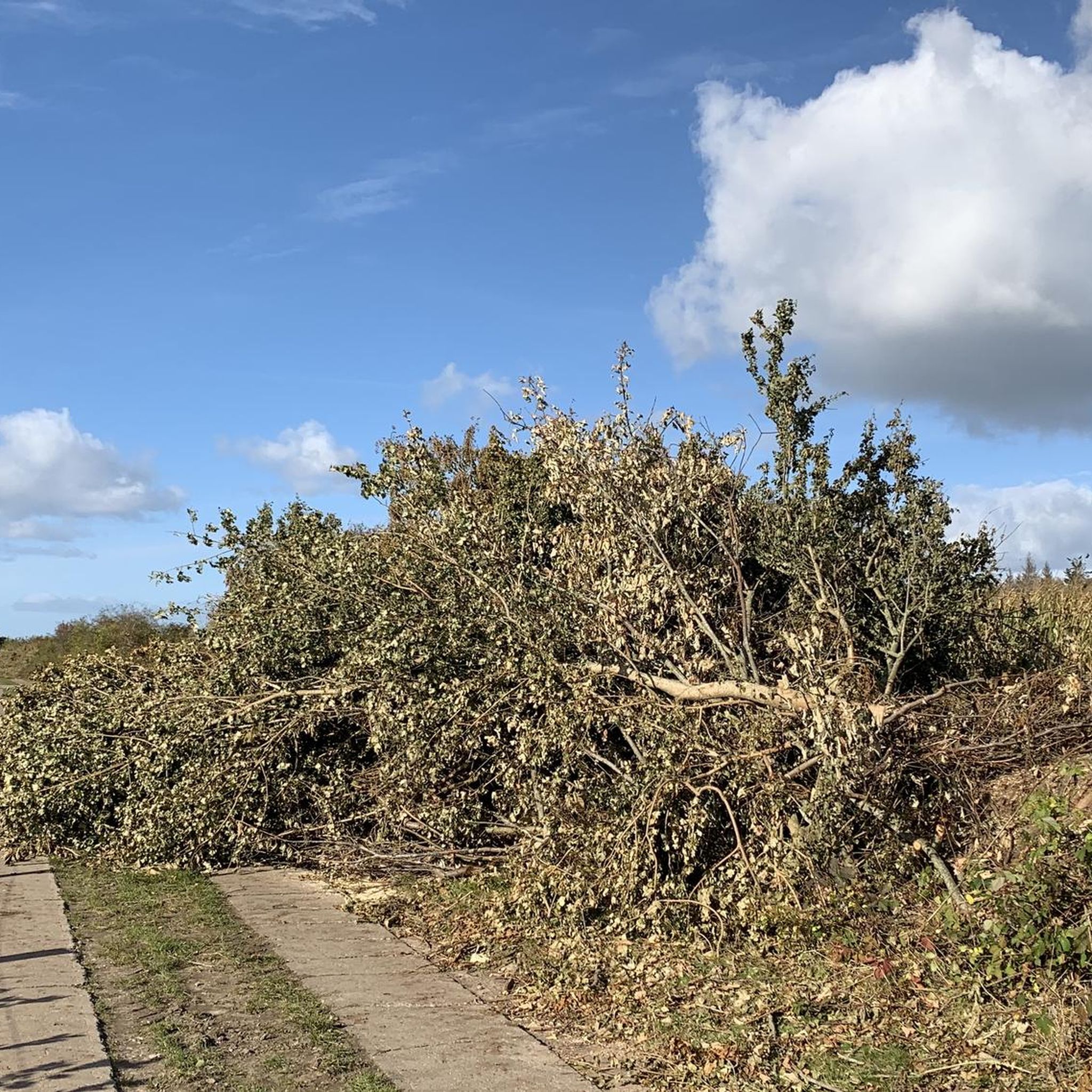
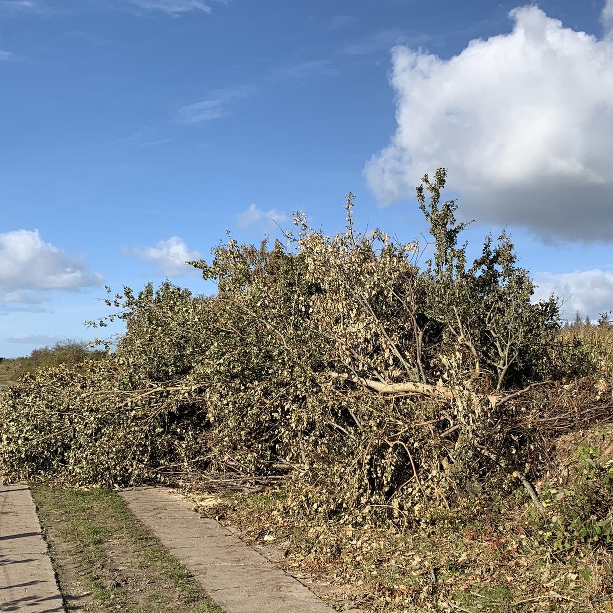
It has now happened: large sections of the path, which ran directly along the edge, have collapsed, taking numerous trees with them. Part of it has been cordoned off with barrier tape – which is now quite damaged. A narrow alternative path runs alongside the original one. It is very sad and frightening, but walkable – however, definitely not recommended for strollers or people with mobility impairments!
5
1
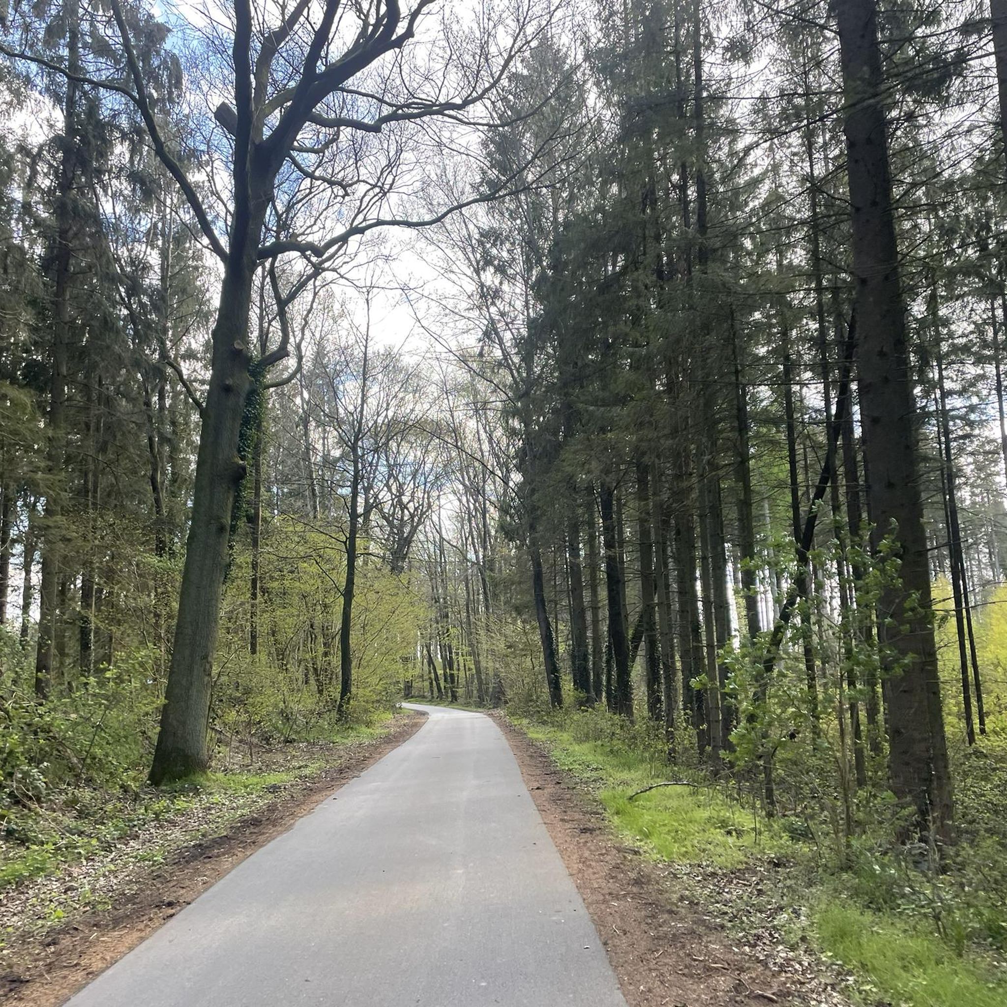
Lots of "lost places"... I would like to know something about the historical background - unfortunately Google didn't help. The road is still in very good condition, now car-free and is great for walking, always through the dense forest and beautifully winding
0
0

From the place of worship you have a view over Eckernförde Bay. Some crossroads are marked with colorful stones.
5
0

Part of the burial forest, a place to pause.
4
0
Frequently Asked Questions
How many running routes are available around Neudorf-Bornstein?
There are nearly 400 running routes available around Neudorf-Bornstein on komoot, offering a wide variety of options for all fitness levels. This includes 73 easy routes, 257 moderate, and 65 more challenging trails.
Are there running routes suitable for beginners or those looking for an easy jog?
Yes, Neudorf-Bornstein offers many easily accessible paths perfect for beginners or a relaxed run. For instance, the Running loop from Gettorf is an easy 2.1-mile (3.4 km) trail that takes just over 20 minutes to complete.
What kind of terrain can I expect on the jogging trails in Neudorf-Bornstein?
The region offers diverse terrain, from open fields and forested areas to paths around water bodies like Windebyer Noor. You'll find a mix of mostly paved surfaces and more natural trails, catering to different preferences. Many routes are described as 'easily-accessible' with varied surfaces.
Are there any scenic running routes that pass by natural landmarks or points of interest?
Absolutely! Many routes offer scenic views and pass by notable natural features. You can explore trails around the Windebyer Noor, a significant lake with glacial origins, or venture into the Naturschutzgebiet Kaltenhofer Moor, known for its Moor Pond and remnants of a raised bog. The St. Jürgen Church – Gettorf Zoo loop from Gettorf also leads through local landmarks.
Are there any circular running routes in the Neudorf-Bornstein area?
Yes, many of the running routes in Neudorf-Bornstein are circular, providing convenient starting and ending points. A popular option is the Scenic Field Path loop from Gettorf, a 4.9-mile (7.9 km) trail offering field views, or the Scenic Field Path loop from Neudorf-Bornstein, which winds through the local countryside.
What do other runners say about the trails in Neudorf-Bornstein?
The running routes in Neudorf-Bornstein are highly rated by the komoot community, with an average score of 4.4 stars from over 400 reviews. More than 7,000 runners have used komoot to explore the varied terrain, often praising the diverse landscapes and well-maintained paths.
Are there any longer or more challenging running trails for experienced runners?
For those seeking a greater challenge, Neudorf-Bornstein offers several longer and more demanding routes. For example, the Großsteingrab Behrensbrook 5 loop from Aschau is a moderate 5.4-mile (8.8 km) route with more elevation gain, taking about 55 minutes to complete.
Can I find running routes that are suitable for families?
Many of the 'easy' and 'moderate' routes in the region are suitable for families, especially those with accessible paths. The general area is known for its 'easily-accessible paths' and natural settings, making it pleasant for family outings. Look for shorter, flatter loops for a family-friendly experience.
Are there options for parking near the running trails?
While specific parking details vary by route, the region is generally well-equipped for visitors. Many trailheads, especially those starting from towns like Gettorf or Neudorf-Bornstein, will have nearby parking facilities. It's always a good idea to check the individual route details on komoot for specific parking recommendations.
What natural features can I expect to see while running in the area?
Neudorf-Bornstein is rich in natural beauty. You'll encounter the serene Windebyer Noor, with its unique glacial history, and the tranquil Moor Pond in Naturschutzgebiet Kaltenhofer Moor. The area also features the Kronsau Nature Reserve and various 'Natural Monuments' and 'Lakes,' providing a diverse and engaging backdrop for your run.
Are there any running routes that pass through the Kronsau Nature Reserve?
Yes, the Kronsau Nature Reserve offers pleasant natural settings for runners. While specific routes are not listed here, the region's network includes accessible routes through this reserve, providing a tranquil environment for your run. Look for trails originating near Borghorst for access to this area.
Most popular routes around Neudorf-Bornstein
Most popular attractions around Neudorf-Bornstein

Get inspired with the komoot mobile app


Explore more
Browse the best Running Trails & Routes in other regions.
