The best walks and hikes around Urbalacone
4.5
(191)
1,089
hikers
18
hikes
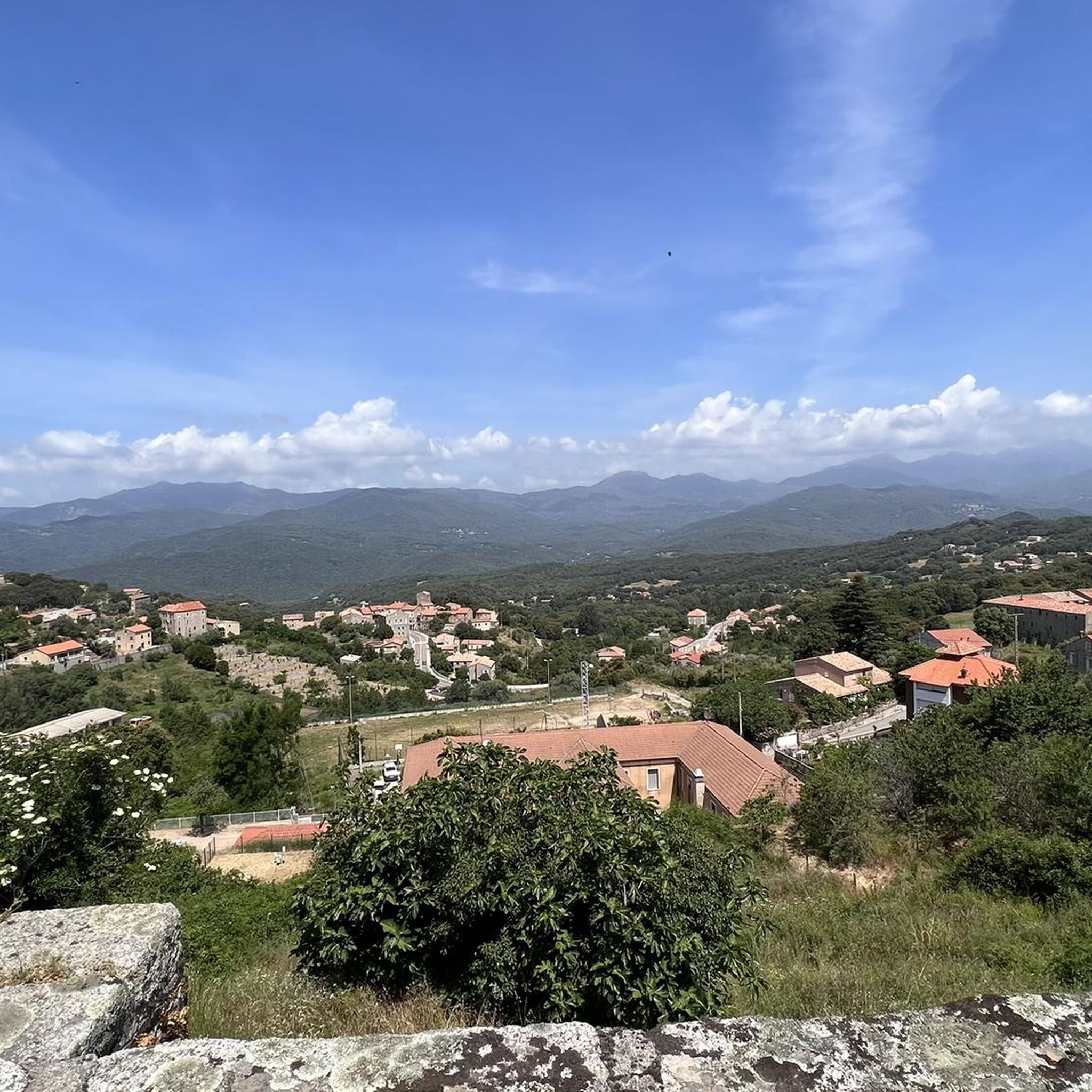
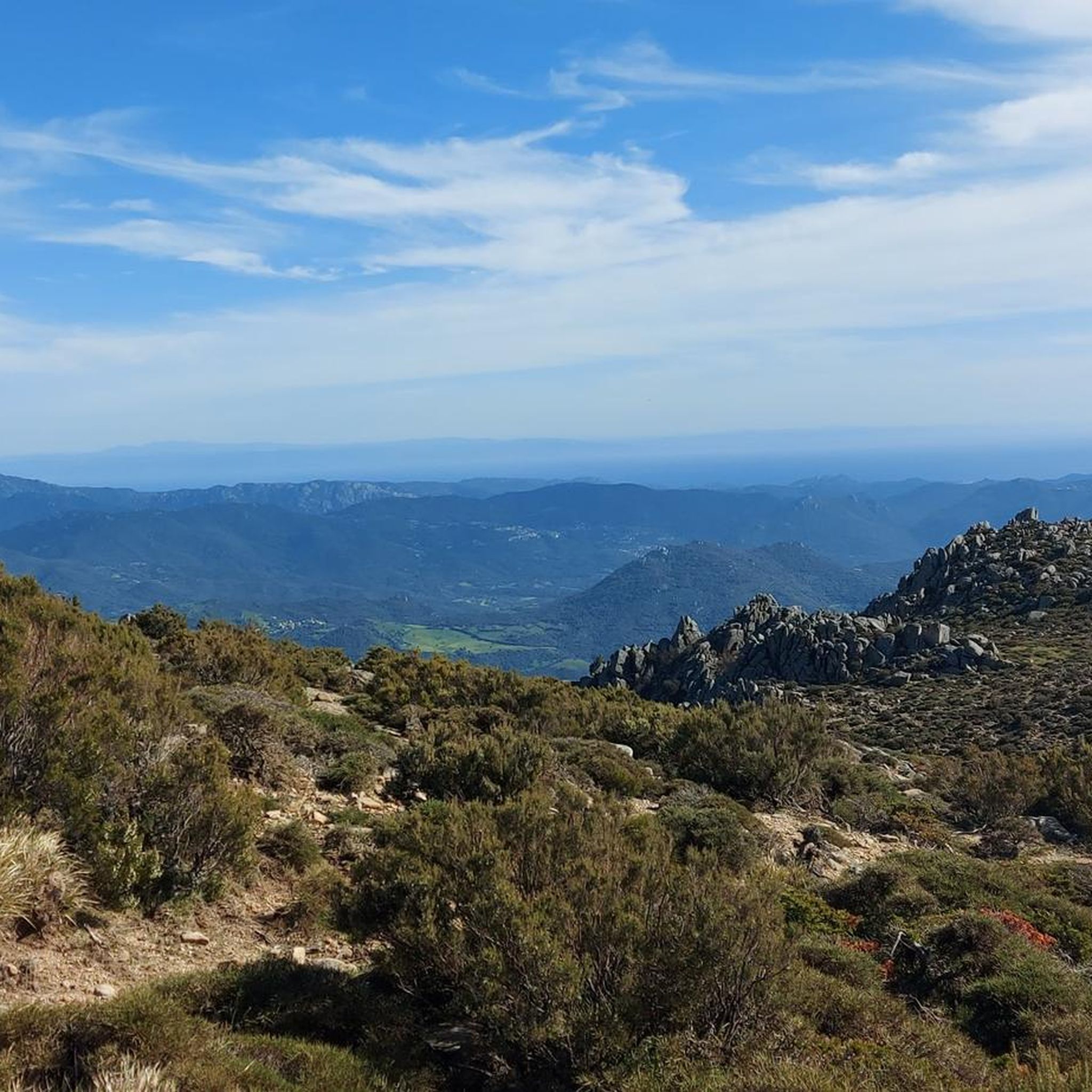
Hiking around Urbalacone offers diverse terrain within Corsica's Corse-du-Sud department. The region is characterized by its elevated position, surrounded by forests, agricultural zones, and a mix of chestnut, olive, and arbutus trees. This landscape provides varied environments for exploration, from village paths to higher elevations offering panoramic views.
Best hiking trails around Urbalacone
- The most popular hiking route is Cascade of Moca-Croce – Piscia di l'Onda Waterfall loop from Moca-Croce / Macà è Croci, a 4.0 miles (6.4 km)…
Last updated: November 12, 2026
4.5
(23)
194
hikers
6.37km
01:57
210m
210m
Easy hike. Easily walkable paths.
4.3
(43)
125
hikers
10.9km
03:25
410m
410m
Moderate hike. Good fitness required. Easily walkable paths.

4.6
(20)
103
hikers
18.4km
06:44
1,010m
1,010m
Hard hike. Very good fitness required. Mostly walkable paths. Sure-footedness required.
4.8
(8)
35
hikers
11.3km
04:28
430m
430m
Hard hike. Good fitness required. Sure-footedness, sturdy shoes and alpine experience required.
5.0
(2)
41
hikers
23.4km
10:43
1,460m
1,460m
Hard hike. Very good fitness required. Mostly walkable paths. Sure-footedness required.
Get access to more routes and recommendations from other explorers.
Already have an account?
Our route recommendations are based on thousands of hikes, rides, and runs completed by other people on komoot.
Start today with a free account
Your next adventure awaits.
Tips from the Community

The prehistoric site of Filitosa is a historical monument and is included in the list of one hundred historical sites of general interest for the Mediterranean countries. Filitosa fascinates with the beauty of the archaeological finds and the diversity of the natural environment.
1
0
8000 years of history and mysteries Discover the roots of Corsica in the footsteps of the first Corsicans. Filitosa is considered the most important site of the megalithic culture of Corsica. It is home to one of the most beautiful collections of prehistoric works of art in Europe. At the same time, the cultural site still poses many questions for researchers. Filitosa offers an overview of 8000 years of human history in the Mediterranean region.
1
0

From the summit it is initially blocky with - at least for me - some pushing sections. As it continues it becomes increasingly rideable and flowing towards the plateau. S2 - S3.
2
0

the préhistoric site is nice. But don't eat in the restaurant - too expensive and lousy quality (but their homemade beer is good)
0
0


A very nicely furnished area with many small old and newer highlights. The large cork trees are imposing.
3
1
We were there for the first time in 1994 and a lot has happened since then. It's very hot in August...
2
1
Frequently Asked Questions
What types of hiking trails can I find around Urbalacone?
Urbalacone offers a diverse range of hiking trails, from easy walks through forests and agricultural zones to challenging ascents to mountain summits. You'll find routes leading to waterfalls, through historical village paths, and up to panoramic viewpoints. There are 19 hiking routes in total, with 6 easy, 7 moderate, and 6 difficult options.
Are there any easy, family-friendly hikes in the Urbalacone area?
Yes, there are several easy and family-friendly options. For instance, the Cascade of Moca-Croce – Piscia di l'Onda Waterfall loop from Moca-Croce / Macà è Croci is an easy 6.4 km trail leading to the beautiful Piscia di l'Onda Waterfall. Another gentle option is the Onda – Piscia di l'Onda Waterfall loop from Argiusta, a 2.1 km trail also visiting the waterfall.
Can I find circular hiking routes near Urbalacone?
Many of the trails around Urbalacone are designed as loops, allowing you to start and end in the same location. Examples include the easy Cascade of Moca-Croce – Piscia di l'Onda Waterfall loop from Moca-Croce / Macà è Croci, the moderate Foci Livesi loop from Casalabriva, and the more challenging Monte San Petru Summit – Mont San Petru loop from Bicchisano.
Are there any hikes that feature waterfalls in this region?
Absolutely. The Piscia di l'Onda Waterfall is a notable natural feature in the area. You can reach it via easy loop trails such as the Cascade of Moca-Croce – Piscia di l'Onda Waterfall loop from Moca-Croce / Macà è Croci or the Onda – Piscia di l'Onda Waterfall loop from Argiusta.
What are some notable natural landmarks or viewpoints accessible by hiking around Urbalacone?
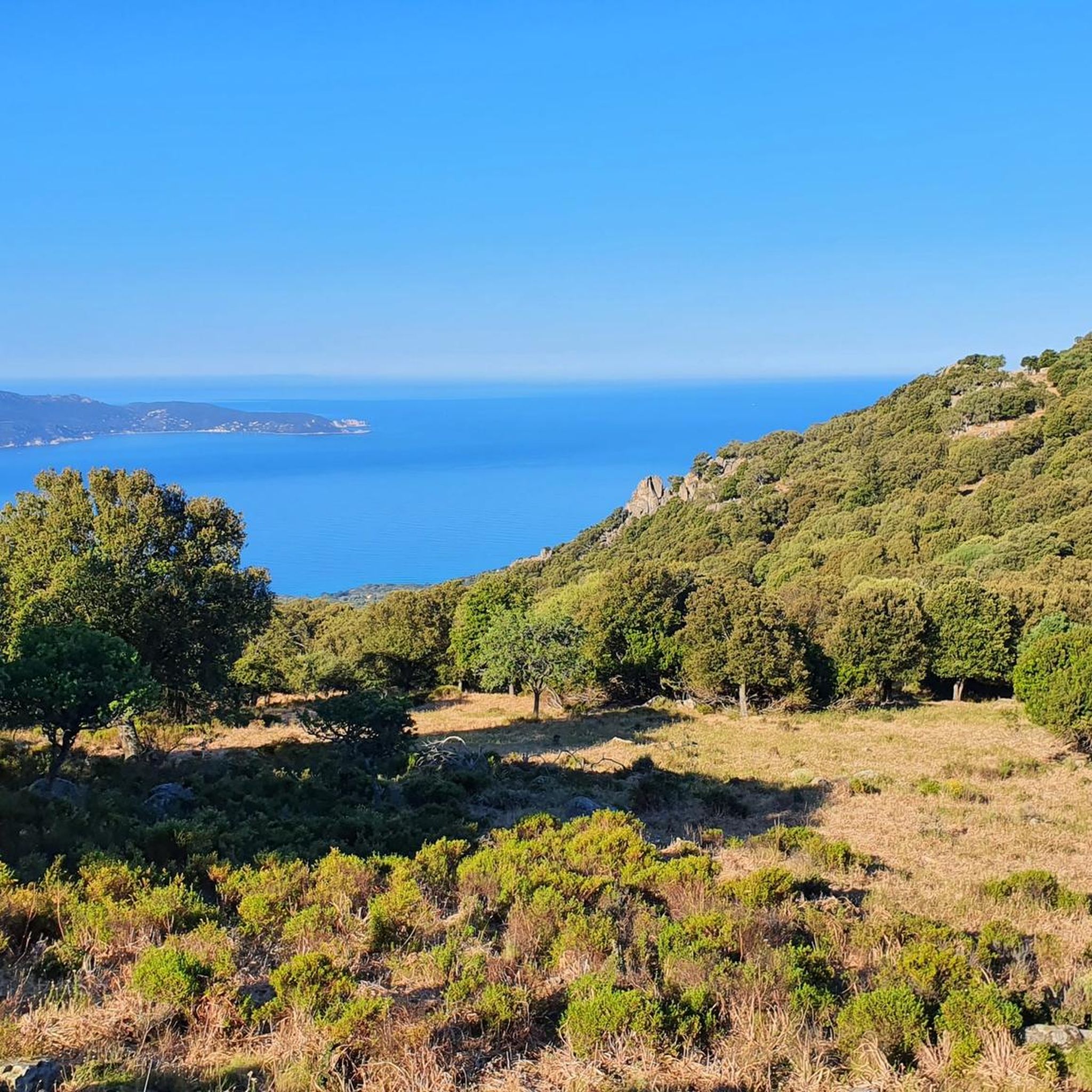
The region offers several impressive natural features and viewpoints. The Col de Gradello, at 529 meters, provides breathtaking panoramic views over the Bay of Ajaccio. For a more challenging experience, the summit of Monte San Petru offers expansive vistas, accessible via routes like the Monte San Petru Summit – Mont San Petru loop from Bicchisano.
What historical sites or attractions can I explore near Urbalacone while hiking?
Urbalacone itself is rich in history, with ruins of a medieval castle, Roman remnants, and the 12th-century San Giovanni Battista chapel. A short distance away, the Filitosa Prehistoric Site is a significant megalithic site showcasing ancient art and history. You might also encounter the Forgotten Highway of Corsica, known for its natural beauty and car-free experience.
What do other hikers say about the trails in Urbalacone?
The hiking trails around Urbalacone are highly regarded by the komoot community, holding an average rating of 4.6 stars from over 130 reviews. Hikers often praise the diverse terrain, from lush forests to challenging mountain paths, and the stunning natural beauty, including waterfalls and panoramic views.
What is the best time of year to go hiking in Urbalacone?
The Mediterranean climate of Corsica makes Urbalacone an ideal hiking destination almost year-round. Spring and autumn generally offer the most pleasant temperatures for hiking. While winter hiking is possible, it's always wise to be prepared for rapidly changing mountain weather conditions, especially at higher elevations.
Are there any long-distance hiking opportunities or more challenging routes in the area?
Yes, for experienced hikers seeking a challenge, routes like the Monte San Petru Summit – Mont San Petru loop from Bicchisano offer significant elevation gain over 18.6 km. The wider Corsica region is also home to world-renowned long-distance trails like the GR20, Mare e Monti, and Mare a Mare, which connect coastal and mountainous areas, though these are typically multi-day treks.
What kind of natural environment can I expect to see on hikes around Urbalacone?
The landscape around Urbalacone is very diverse. You'll hike through forests of chestnut, olive, and arbutus trees, as well as vineyards. The region is characterized by its elevated position, offering views over the surrounding plains. Expect to encounter Corsica's distinctive Mediterranean maquis, with its aromatic herbs and shrubs, and potentially diverse ecosystems ranging from rocky areas to lush valleys.
How many people typically hike in Urbalacone?
The Urbalacone area is a popular spot for outdoor enthusiasts. Over 880 hikers have used komoot to explore the varied terrain, indicating a vibrant community enjoying the trails.
Most popular routes around Urbalacone
Most popular attractions around Urbalacone

Get inspired with the komoot mobile app


Explore more
Browse the best Hikes in other regions.
