The best walks and hikes around Zigliara
4.4
(117)
686
hikers
14
hikes
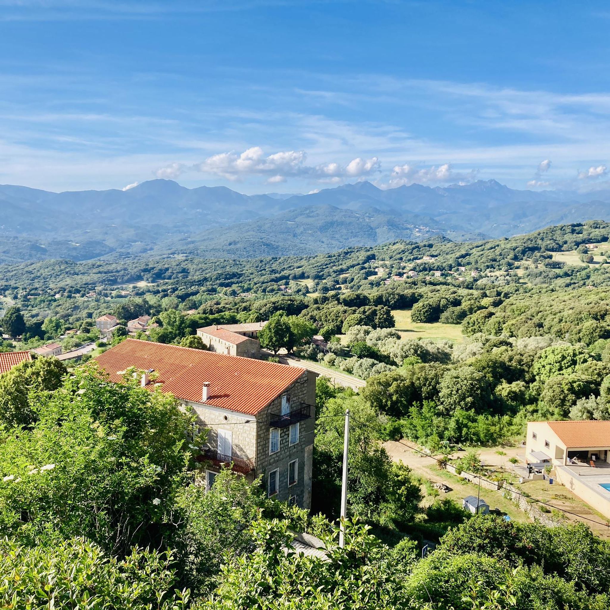
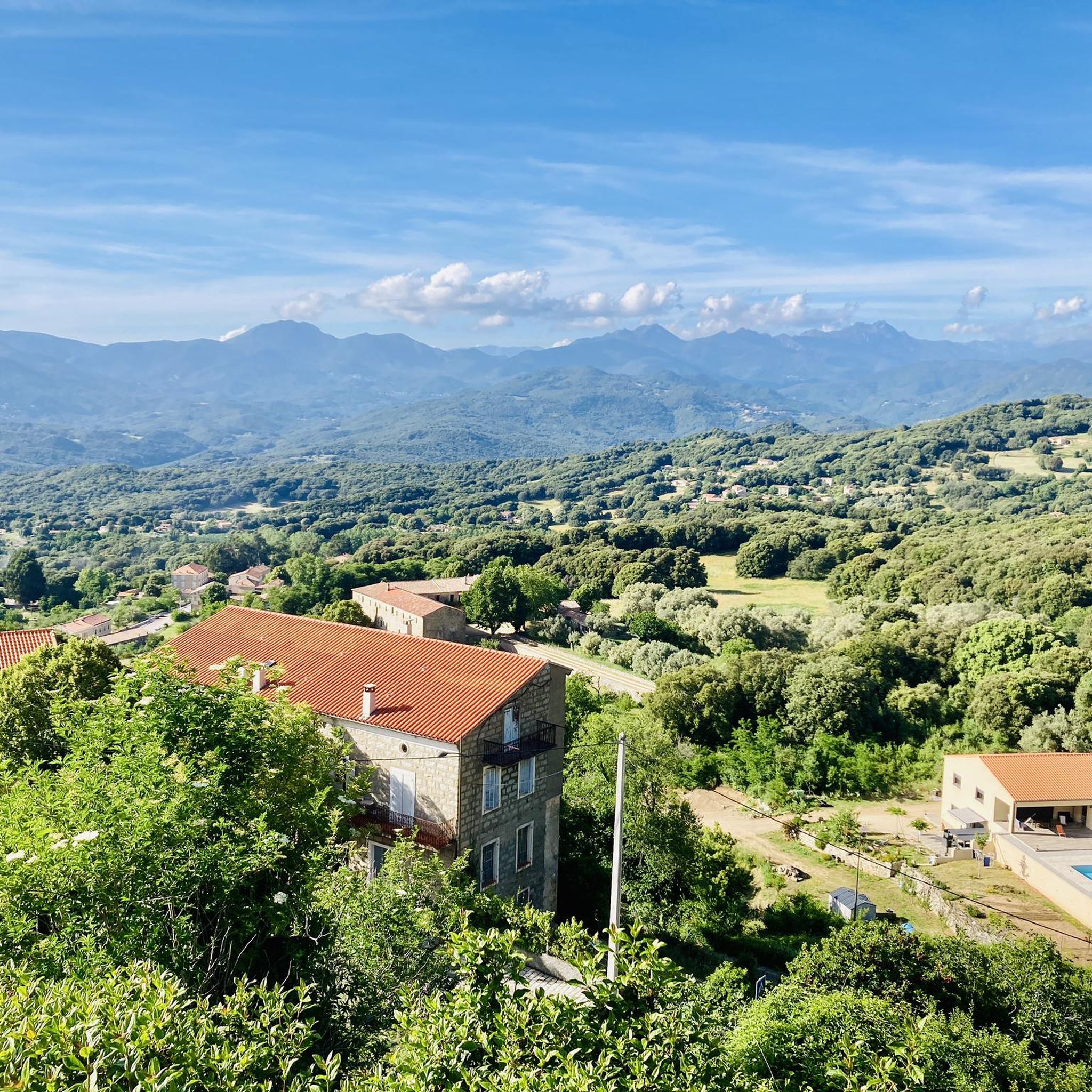
Hiking around Zigliara offers diverse landscapes within the Taravo Valley, situated at the gateway to Alta Rocca. The region features a mix of terrain, including shaded woodland trails, ridges with expansive views, and areas with unique geological formations. Hikers can explore ancient chestnut forests and oak undergrowth, providing varied environments for outdoor activity.
Best hiking trails around Zigliara
- The most popular hiking route is Cascade of Moca-Croce – Piscia di l'Onda Waterfall loop from Moca-Croce / Macà è Croci,…
Last updated: November 12, 2026
4.5
(23)
194
hikers
6.37km
01:57
210m
210m
Easy hike. Easily walkable paths.
4.6
(20)
103
hikers
18.4km
06:44
1,010m
1,010m
Hard hike. Very good fitness required. Mostly walkable paths. Sure-footedness required.

4.8
(8)
35
hikers
11.3km
04:28
430m
430m
Hard hike. Good fitness required. Sure-footedness, sturdy shoes and alpine experience required.
5.0
(2)
41
hikers
23.4km
10:43
1,460m
1,460m
Hard hike. Very good fitness required. Mostly walkable paths. Sure-footedness required.
3.5
(2)
24
hikers
3.82km
01:28
140m
140m
Moderate hike. Mostly walkable paths. Sure-footedness required.
Get access to more routes and recommendations from other explorers.
Already have an account?
Our route recommendations are based on thousands of hikes, rides, and runs completed by other people on komoot.
Start today with a free account
Your next adventure awaits.
Tips from the Community

From the summit it is initially blocky with - at least for me - some pushing sections. As it continues it becomes increasingly rideable and flowing towards the plateau. S2 - S3.
2
0


Beautiful high path from the Col de Vaccia. Great views in all directions.
2
0

Beautiful view summit (only accessible on foot)
0
0

Café and cheese at José. A must. The dearest José in the world.
0
0

An impressive secluded waterfall.
1
0
Summit of San Petru mountain. 1400m
2
2
Frequently Asked Questions
How many hiking trails are available around Zigliara?
Zigliara offers a good selection of hiking opportunities, with nearly 20 routes available. These trails cater to various preferences, from easy walks to more challenging ascents.
What kind of landscapes can I expect to see while hiking in Zigliara?
Hiking in Zigliara provides a diverse range of landscapes. You'll find shaded woodland trails, ancient chestnut forests, and oak undergrowth. Many routes lead to ridges offering panoramic views of the Gulf of Valinco, the Gulf of Ajaccio, and the Taravo and Rizzanèze valleys, with distant views of the Aiguilles de Bavella and Incudine mountains. Some trails also lead to unique geological formations and pozzines on the Cuscionu Plateau.
Are there hiking trails for all skill levels in Zigliara?
Yes, Zigliara offers trails for various abilities. There are 5 easy routes perfect for a leisurely stroll, 5 moderate trails for those seeking a bit more challenge, and 7 difficult paths for experienced hikers looking for a strenuous workout and significant elevation gain.
Are there any trails that lead to waterfalls?
Yes, you can find trails leading to beautiful waterfalls. An easy and popular option is the Cascade of Moca-Croce – Piscia di l'Onda Waterfall loop from Moca-Croce / Macà è Croci, which is a 4.0-mile (6.4 km) trail that takes less than two hours to complete and leads to a picturesque waterfall where you can even paddle at its base.
Can I find circular hiking routes in Zigliara?
Many of the trails around Zigliara are designed as loops, allowing you to start and end at the same point. For example, the Monte San Petru Summit – Mont San Petru loop from Bicchisano offers a challenging circular ascent with stunning views, and the Punta d'Urghjavari loop from Quasquara provides a moderate circular experience through varied terrain.
What interesting places or landmarks can I explore near the hiking trails?
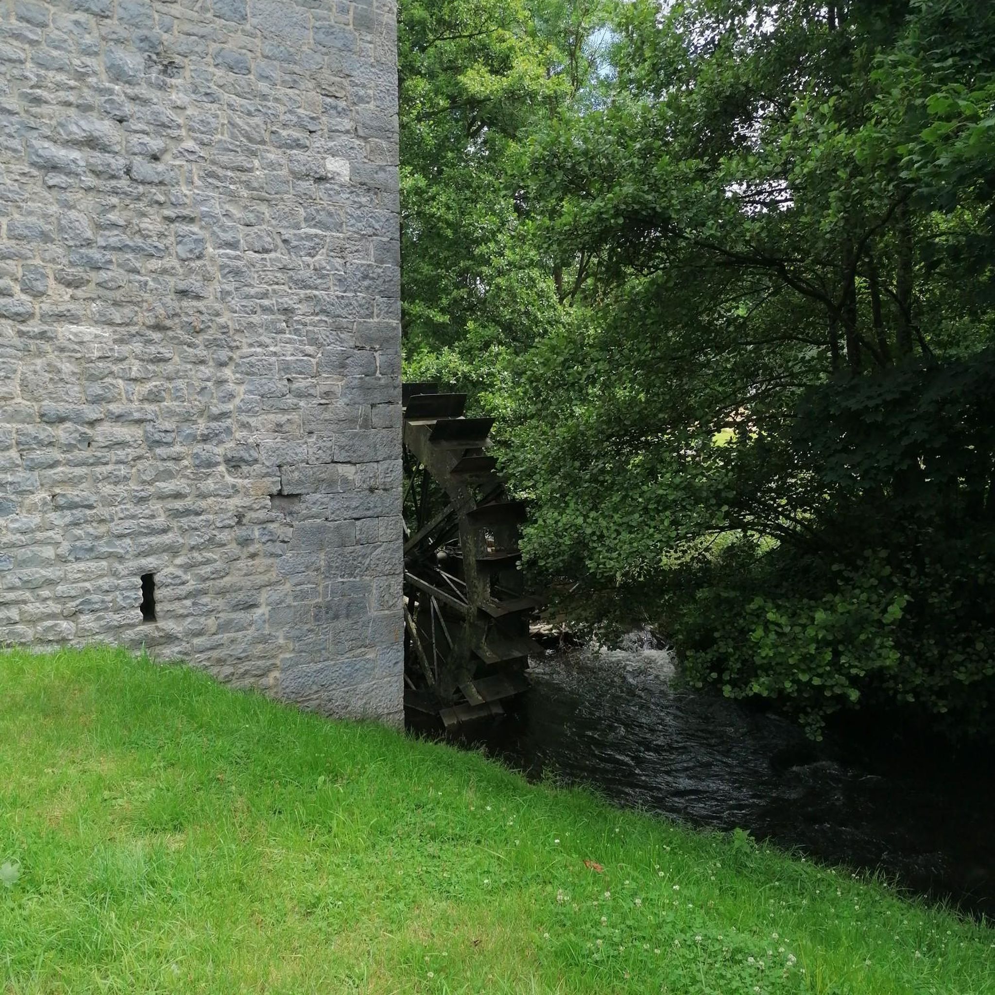
Beyond the natural beauty, you can explore charming authentic villages like Quenza, Serra di Scopamena, Sorbollano, Cardo-Torgia, and Vicu, which often feature traditional architecture. The hamlet of Vicu (Santa Maria Siché) is home to beautiful residences, including the historic castle of Vicu d'Ornano. You might also encounter sections of the ancient Mare à Mare trails, traditional paths connecting villages. For specific points of interest, consider visiting Forgotten Highway of Corsica or the Col de Vaccia.
What is the best time of year to go hiking in Zigliara?
Spring is particularly delightful for hiking in Zigliara, as the maquis releases exquisite scents, enhancing the sensory experience. However, many routes, especially those through oak undergrowth and ancient chestnut forests, offer extensive shaded sections, making them enjoyable even on warmer days during summer.
Are there family-friendly hiking options in Zigliara?
Yes, Zigliara offers several easy trails that are suitable for families. These routes often feature shaded sections and gentle inclines, providing an enjoyable outdoor experience for all ages. The waterfall trails, for instance, can be a fun destination for families.
Are dogs allowed on the hiking trails in Zigliara?
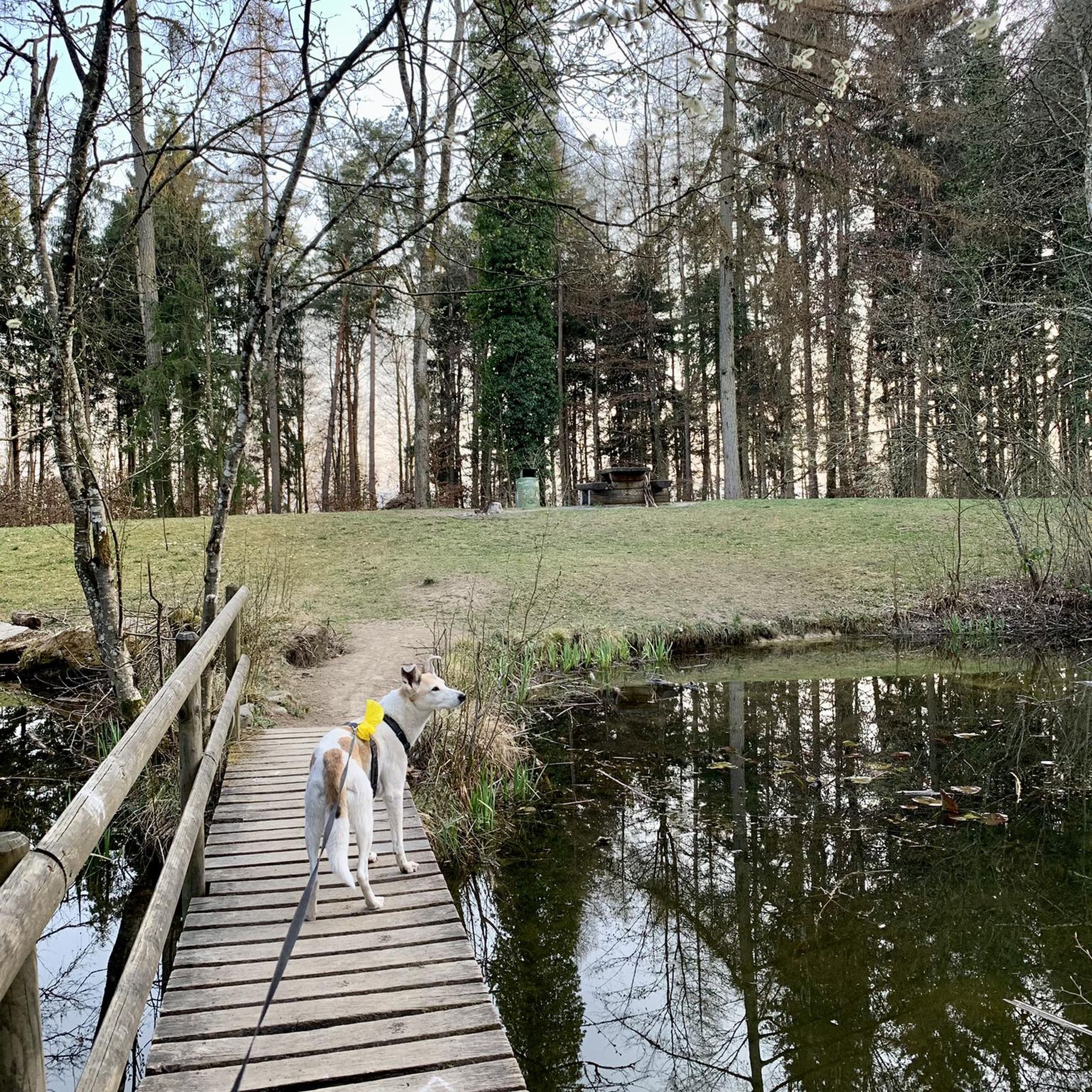
Generally, dogs are welcome on most hiking trails in Zigliara, especially in natural areas. However, it's always advisable to keep them on a leash, especially when encountering wildlife or other hikers, and to respect local regulations or signage that might be present in specific areas.
What do other hikers say about the trails in Zigliara?
The hiking trails in Zigliara are highly regarded by the komoot community, with an average rating of 4.4 stars from over 80 reviews. Hikers often praise the diverse topography, the panoramic mountain views, and the presence of shaded woodlands, making for a varied and enjoyable experience. Over 500 hikers have used komoot to explore the area's trails.
Are there challenging hikes with significant elevation gain?
Yes, for those seeking a challenge, Zigliara offers difficult routes with substantial elevation gain. The Monte San Petru Summit – Mont San Petru loop from Bicchisano is a prime example, covering 11.6 miles (18.6 km) with over 1000 meters of ascent, rewarding hikers with expansive views from the summit.
Is public transport available to reach hiking trailheads in Zigliara?
Public transport options directly to specific hiking trailheads in Zigliara can be limited. It is often recommended to have a car for greater flexibility in accessing the various starting points for hikes across the region.
Where can I find parking for hiking trails in Zigliara?
Parking is generally available near the starting points of many popular trails and in the villages surrounding Zigliara. Look for designated parking areas in towns like Moca-Croce, Bicchisano, or Quasquara, which serve as common access points for the region's hikes.
Most popular attractions around Zigliara

Get inspired with the komoot mobile app


Explore more
Browse the best Hikes in other regions.
