The best walks and hikes around Alerheim
4.7
(379)
1,916
hikers
15
hikes
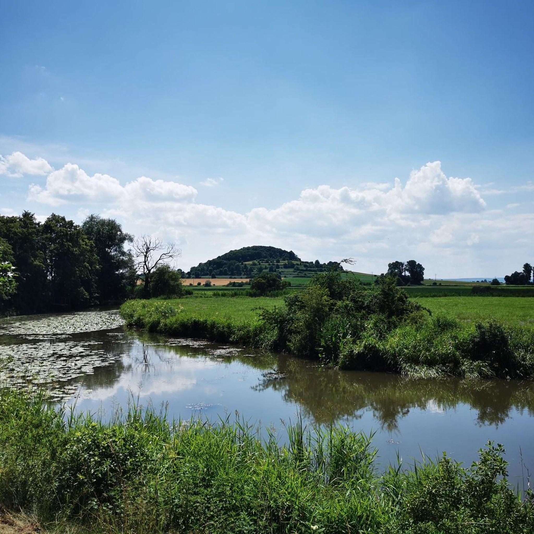
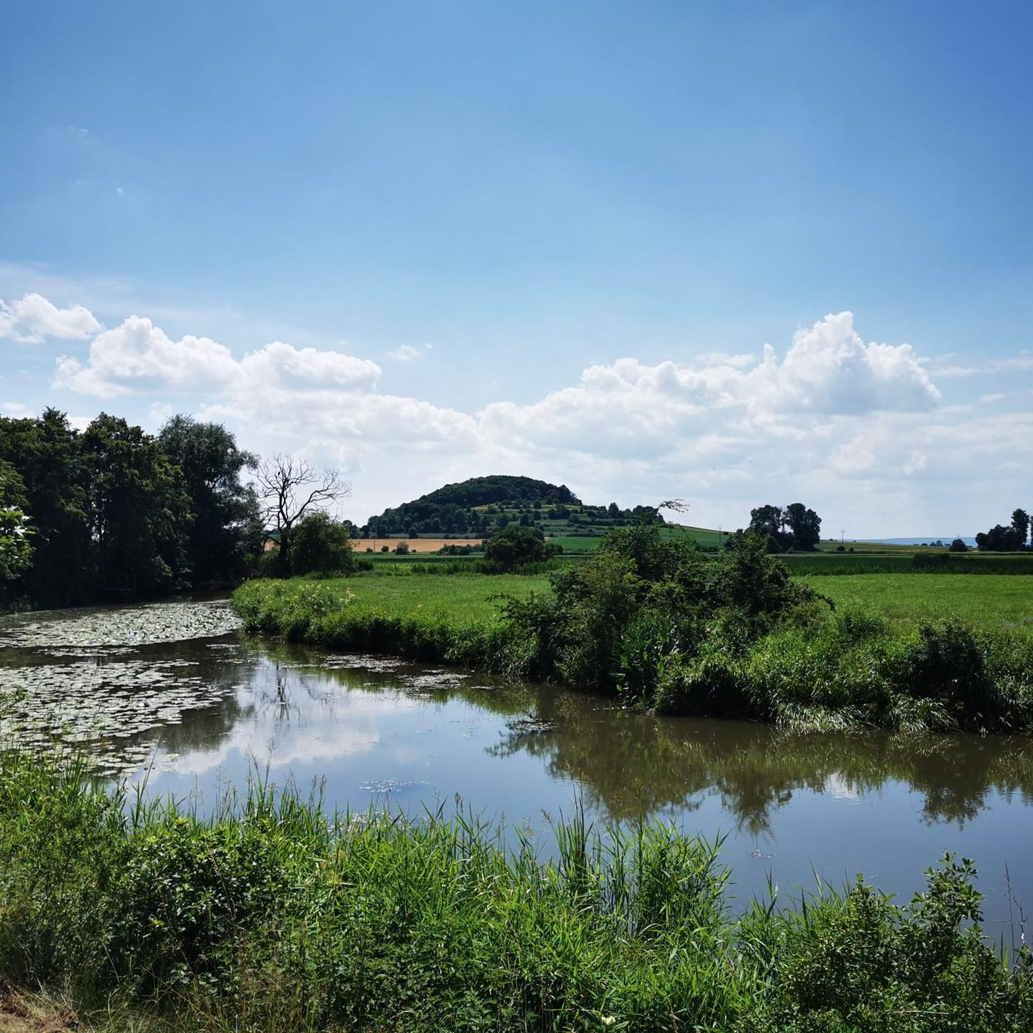
Hiking around Alerheim offers varied terrain on the edge of the Altmühltal Nature Park. The region is characterized by rolling hills and the Wörnitz river, providing a setting for outdoor activities. A notable geological feature is the Nördlinger Ries, a meteorite crater integrated into the Geopark Ries. Trails often feature accessible paths, suitable for different skill levels.
Best hiking trails around Alerheim
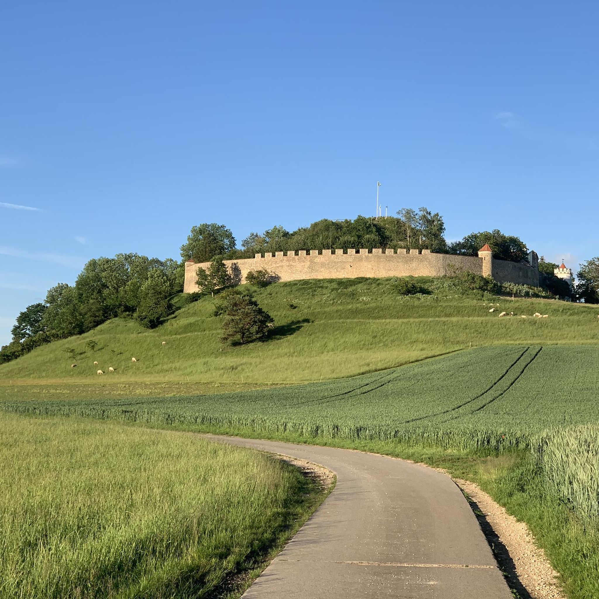
- The most popular hiking route is Summit cross on Kratzberg – Alerheim Castle loop from Alerheim, a…
Last updated: May 23, 2026
4.7
(28)
148
hikers
16.9km
04:28
150m
160m
Moderate hike. Good fitness required. Easily-accessible paths. Suitable for all skill levels.
5.0
(4)
17
hikers
5.78km
01:28
20m
20m
Easy hike. Great for any fitness level. Easily-accessible paths. Suitable for all skill levels.

Sign up for free
5.0
(1)
3
hikers
9.26km
02:27
90m
90m
Moderate hike. Good fitness required. Easily-accessible paths. Suitable for all skill levels.
9
hikers
14.7km
03:55
160m
160m
Moderate hike. Good fitness required. Easily-accessible paths. Suitable for all skill levels.
3.0
(1)
5
hikers
Easy hike. Great for any fitness level. Easily-accessible paths. Suitable for all skill levels.
Get access to more routes and recommendations from other explorers.
Sign up for free
Already have an account?
Our route recommendations are based on thousands of hikes, rides, and runs completed by other people on komoot.
Start today with a free account
Your next adventure awaits.
Login or Signup
Tips from the Community

Exciting caves along the way.
3
0

Duck your head when you look into the cave :)
2
0

If you make unfortunate movements, it may swing a little. I'll leave it up in the air whether that was the intention.
1
0
Wennenberg with the story... (For more details see photo of the plaque)
1
0
It is a relatively small parking lot, but with a table and seating.
2
0
I cannot give any feedback on the inn itself, as it was not open at the time of the hike. The inn offers the possibility of overnight accommodation.
1
0
Inconspicuous house, opposite the castle gate
1
0

The rest area with two benches is located next to a mighty, single oak tree and offers beautiful views of the village of Rudelstetten, Bühl im Ries and the Wennenberg viewing hill.
0
0
Frequently Asked Questions
How many hiking trails are available around Alerheim?
There are over 15 hiking trails around Alerheim, offering a variety of experiences. These routes cater to different fitness levels, with a good mix of easy and moderate options.
What is the best time of year to go hiking in Alerheim?
The best seasons for hiking in Alerheim are generally spring and summer, when the weather is mild and nature is in full bloom. Autumn also offers vibrant forest colors, making it a beautiful time to explore the trails.
Are there any easy, family-friendly hikes in Alerheim?
Yes, Alerheim offers several easy routes suitable for families. A great option is the Anhausen Pond loop from Rudelstetten, which is an easy 5.8 km path offering a gentle walk around the pond. Another easy choice is the Sommerkeller Alerheim Murals – View of Geopark Ries loop from Alerheim.
What kind of natural features or landmarks can I expect to see on the trails?
The landscape around Alerheim is characterized by rolling hills and the Wörnitz river. A significant natural feature is the Nördlinger Ries, a large meteorite crater that forms a unique geological area. You can also see historical sites like Alerheim Castle and nearby Harburg Castle. Some routes offer views of the Geopark Ries, such as the Sommerkeller Alerheim Murals – View of Geopark Ries loop from Alerheim.
Are there any circular hiking routes around Alerheim?
Many of the trails around Alerheim are circular, allowing you to start and end at the same point. Examples include the Summit cross on Kratzberg – Alerheim Castle loop from Alerheim and the Alerheim Castle – Lierheim Castle loop from Alerheim. The Geopark Ries also features a clearly marked circular route, the '7-Hills Route'.
What do other hikers say about the trails in Alerheim?
The trails in Alerheim are highly rated by the komoot community, with an average score of 4.7 stars from over 390 reviews. Hikers often praise the varied terrain, the scenic views of the surrounding landscape, and the well-maintained paths suitable for different skill levels.
Are there any specific viewpoints or historical sites along the hiking routes?
Yes, several routes offer notable viewpoints and historical sites. The Summit cross on Kratzberg – Alerheim Castle loop from Alerheim provides views of the surrounding landscape and Alerheim Castle. You can also find highlights like the Stone Bridge Harburg and the View of Harburg Castle nearby.
What are the parking options for hikers in Alerheim?
While specific parking facilities for each trailhead are not detailed, Alerheim is a small community, and parking is generally available in or near the village center. For routes starting directly from Alerheim, you can typically find parking within walking distance of the starting point.
Are there any dog-friendly hiking trails in Alerheim?
Many of the trails around Alerheim are suitable for dogs, especially those that traverse natural landscapes and less populated areas. It's always recommended to keep dogs on a leash, especially near livestock or in nature reserve areas, and to carry waste bags.
Can I access the hiking trails around Alerheim using public transport?
Alerheim is accessible by public transport, though options might be limited depending on your starting location. It's advisable to check local bus schedules to Alerheim or nearby villages like Rudelstetten, which is a starting point for routes like the Anhausen Pond loop.
Are there any challenging hikes for experienced hikers?
While Alerheim primarily features easy to moderate trails, some routes offer more significant elevation changes and longer distances. For example, the Bridge Over the Wörnitz – Alerheim Castle loop from Alerheim is a moderate 14.7 km route with over 160 meters of ascent, providing a good challenge.
Do I need any permits to hike in the Alerheim region or the Geopark Ries?
Generally, no specific permits are required for hiking on public trails in the Alerheim region or within the Geopark Ries. However, always respect local regulations, stay on marked paths, and be mindful of private property.
Most popular attractions around Alerheim

Get inspired with the komoot mobile app


Explore more
Browse the best Hikes in other regions.
