The best walks and hikes around Balnot-Sur-Laignes
4.6
(46)
200
hikers
41
hikes
Hiking around Balnot-Sur-Laignes offers diverse landscapes, from the expansive Seine Valley to picturesque vineyards and serene lake areas. The region is characterized by rolling hills dotted with grapevines and several accessible lakes, including Lac de Marcenay. This varied terrain provides a range of outdoor experiences for different fitness levels.
Best hiking trails around Balnot-Sur-Laignes
- The most popular hiking route is Cadole – Wegkreuz loop from Les Riceys, a 4.6 miles (7.5 km) trail that takes 2 hours 5 minutes…
Last updated: October 21, 2026
4.5
(4)
12
hikers
7.47km
02:06
150m
150m
Moderate hike. Good fitness required. Easily walkable paths.
3.8
(4)
12
hikers
17.1km
04:45
310m
310m
Moderate hike. Good fitness required. Easily walkable paths.

4.7
(3)
9
hikers
10.6km
02:57
200m
200m
Moderate hike. Good fitness required. Easily walkable paths.
3.0
(1)
6
hikers
9.83km
02:43
170m
170m
Moderate hike. Good fitness required. Easily walkable paths.
8
hikers
12.6km
03:25
180m
180m
Moderate hike. Good fitness required. Easily walkable paths.
Get access to more routes and recommendations from other explorers.
Already have an account?
Our route recommendations are based on thousands of hikes, rides, and runs completed by other people on komoot.
Start today with a free account
Your next adventure awaits.

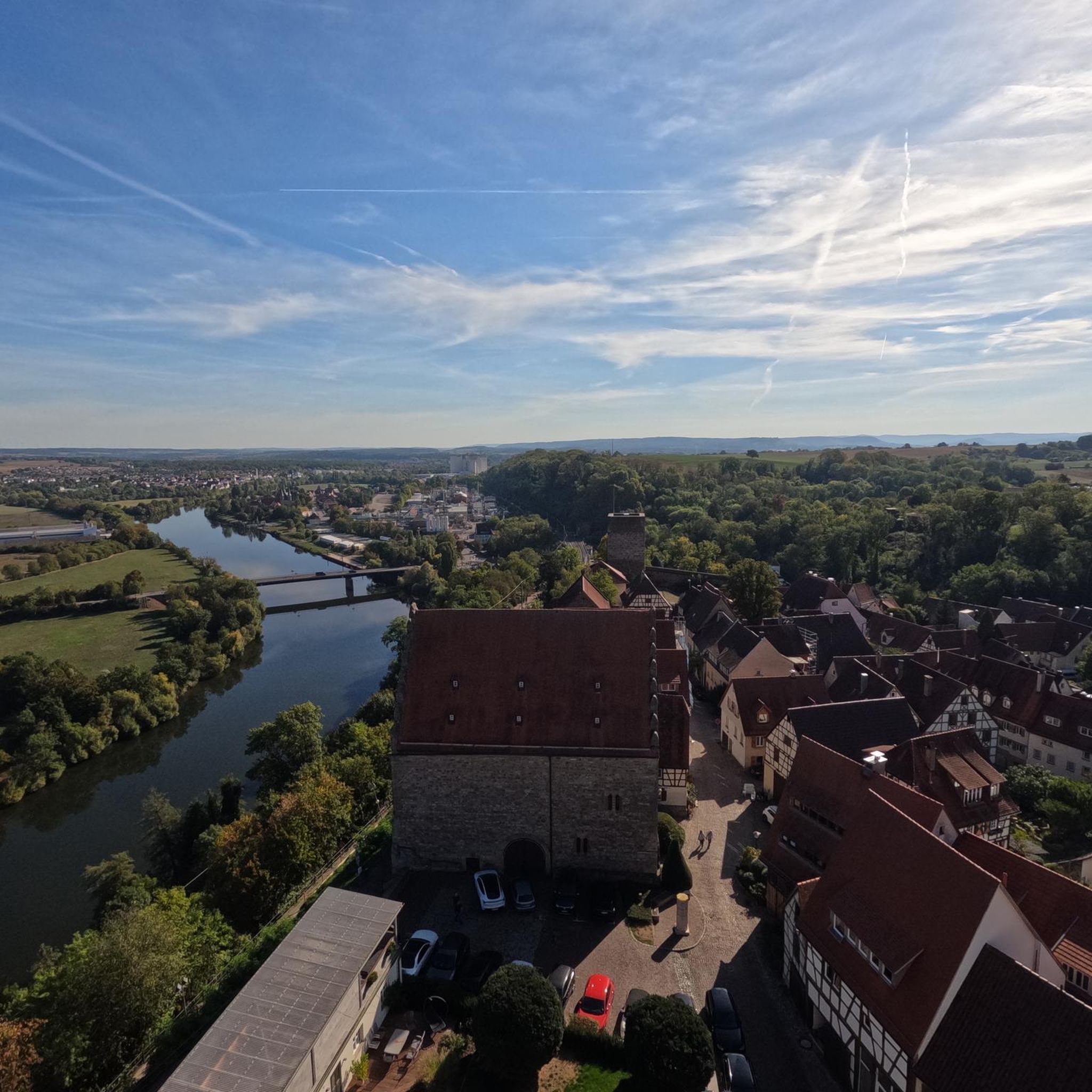



Tips from the Community

Find the visiting conditions: https://chateaudericeybas.com/
0
0
Frequently Asked Questions
How many hiking trails are available around Balnot-sur-Laignes?
There are over 40 hiking routes in the Balnot-sur-Laignes area, catering to various preferences. You'll find a good mix, with 8 easy trails, 33 moderate options, and 2 more challenging routes for experienced hikers.
What kind of landscapes can I expect to see while hiking in Balnot-sur-Laignes?
Hiking in Balnot-sur-Laignes offers a diverse experience. You'll traverse picturesque vineyards of the Côte des Bar, dense forests providing shaded paths, and open farmlands. The region is also bordered by the Laignes River, adding to its natural charm. Many routes offer scenic views across these varied terrains.
Are there any circular walks or loop trails in Balnot-sur-Laignes?
Yes, many of the trails around Balnot-sur-Laignes are designed as loops, allowing you to start and end at the same point. For example, the Cadole – Wegkreuz loop from Les Riceys is a popular moderate option, and the more challenging Courtenot Town Hall – View of wineyards loop from Les Riceys also forms a complete circuit.
What are some family-friendly hiking options in the area?
While specific 'family-friendly' designations aren't always explicit, the 8 easy trails available are generally suitable for families. These routes typically have less elevation gain and shorter distances, making them enjoyable for all ages. Look for routes under 5 km for a comfortable family outing.
What interesting landmarks or attractions can I discover on a hike?
Beyond the natural beauty, you can encounter several points of interest. The region is known for its vineyards and associated structures like cadoles (harvester's lodges). You might also explore historical sites such as the Sainte Beline Chapel or the charming Bar-sur-Seine Town Center, which can be visited as part of a longer excursion or after a hike.
What do other hikers enjoy most about hiking in Balnot-sur-Laignes?
The hiking trails in Balnot-sur-Laignes are highly rated by the komoot community, with an average score of 4.6 stars from over 30 reviews. Hikers frequently praise the diverse scenery, particularly the combination of vineyards and forests, and the well-maintained paths that offer a pleasant outdoor experience.
Are there any routes that specifically go through vineyards?
Absolutely. Balnot-sur-Laignes is in the heart of the Côte des Bar Champagne region, so many trails offer stunning vineyard views. The Courtenot Town Hall – View of wineyards loop from Les Riceys is a prime example, providing extensive vistas across the region's grapevines.
Can I find trails that lead through forests?
Yes, the region features dense forest belts, and several hiking routes incorporate these natural areas. These forest paths offer shade and a different kind of natural environment compared to the open vineyards and farmlands, perfect for a cooler walk.
Are there any routes suitable for beginners?
Beginners will find plenty of suitable options among the 8 easy trails available. These routes are generally shorter in distance and have minimal elevation changes, providing a gentle introduction to hiking in the area. Look for trails marked as 'easy' on komoot.
What is the best time of year to go hiking in Balnot-sur-Laignes?
The region is beautiful throughout the year, but spring and autumn are particularly pleasant for hiking. In spring, the vineyards come to life, and wildflowers bloom. Autumn offers stunning colors as the leaves change and the grape harvest begins. Summer can be warm, making forest trails a good choice for shade, while winter hiking is possible, though some paths might be muddy.
Are there any routes that pass by a picnic area?
Yes, some routes are designed with amenities in mind. For instance, the Bivouac - picnic area loop from Neuville-sur-Seine specifically highlights a picnic area, making it a great choice for a leisurely outing where you can enjoy a meal amidst nature.
What is the longest challenging hike available?
For those seeking a more demanding experience, the Courtenot Town Hall – View of wineyards loop from Les Riceys is a difficult 18.1 km (11.2 miles) path. It offers extensive views and requires a good level of fitness, typically taking around 5 hours to complete.
Most popular routes around Balnot-Sur-Laignes
Most popular attractions around Balnot-Sur-Laignes

Get inspired with the komoot mobile app


Explore more
Browse the best Hikes in other regions.
