The best road cycling routes around Bertrambois
4.5
(62)
1,563
riders
110
rides
Road cycling routes around Bertrambois are situated in France's Grand-Est region, offering varied landscapes for cyclists. The area is characterized by its proximity to the Canal de la Marne au Rhin, providing generally flat and well-maintained paths. Beyond the canal, the terrain includes gentle hills, forests, and the edge of the Vosges mountains, with elevations reaching up to 277 meters at the Col des Français. This diverse topography allows for a range of cycling experiences, from leisurely rides along waterways…
Last updated: July 5, 2026
4.5
(2)
41
riders
42.7km
02:03
460m
460m
Moderate road ride. Good fitness required. Mostly well-paved surfaces and easy to ride.
5.0
(1)
31
riders
47.5km
02:06
380m
380m
Moderate road ride. Good fitness required. Some segments of this route may be unpaved and difficult to ride.

Sign up for free
3.0
(1)
19
riders
49.5km
02:16
540m
540m
Moderate road ride. Good fitness required. Mostly well-paved surfaces and easy to ride.
21
riders
58.8km
02:43
720m
720m
Moderate road ride. Good fitness required. Mostly well-paved surfaces and easy to ride.
22
riders
71.4km
03:27
930m
930m
Hard road ride. Very good fitness required. Some segments of this route may be unpaved and difficult to ride.
Get access to more routes and recommendations from other explorers.
Sign up for free
Already have an account?
Our route recommendations are based on thousands of hikes, rides, and runs completed by other people on komoot.
Start today with a free account
Your next adventure awaits.
Login or Signup
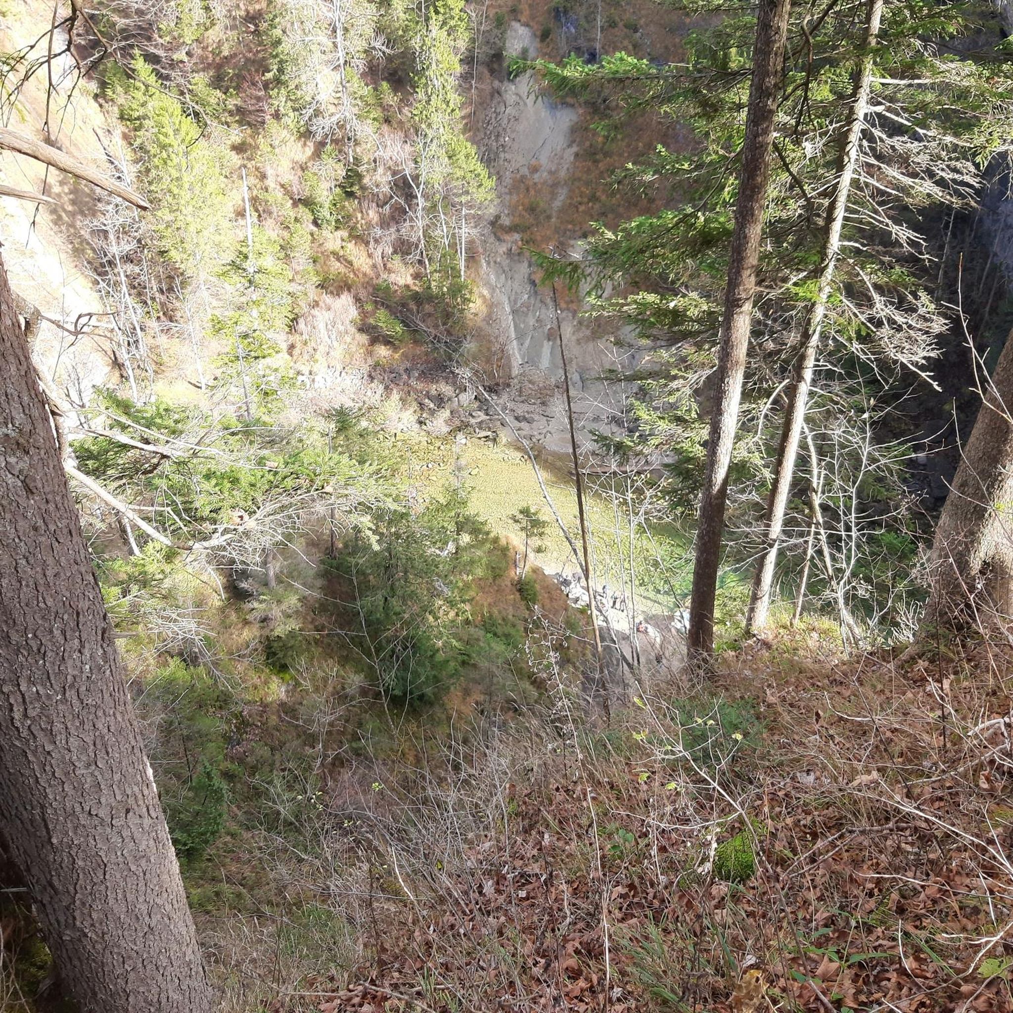
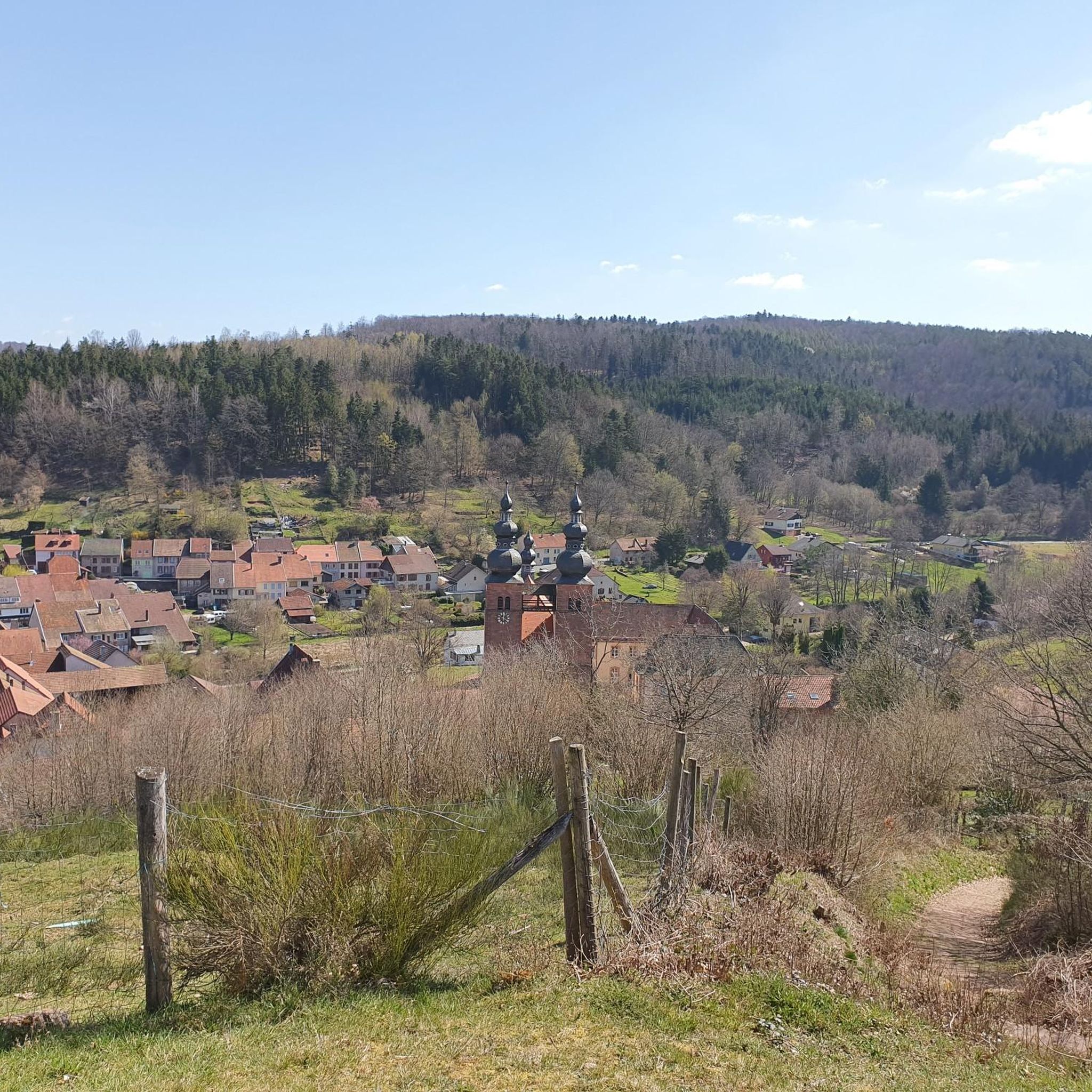
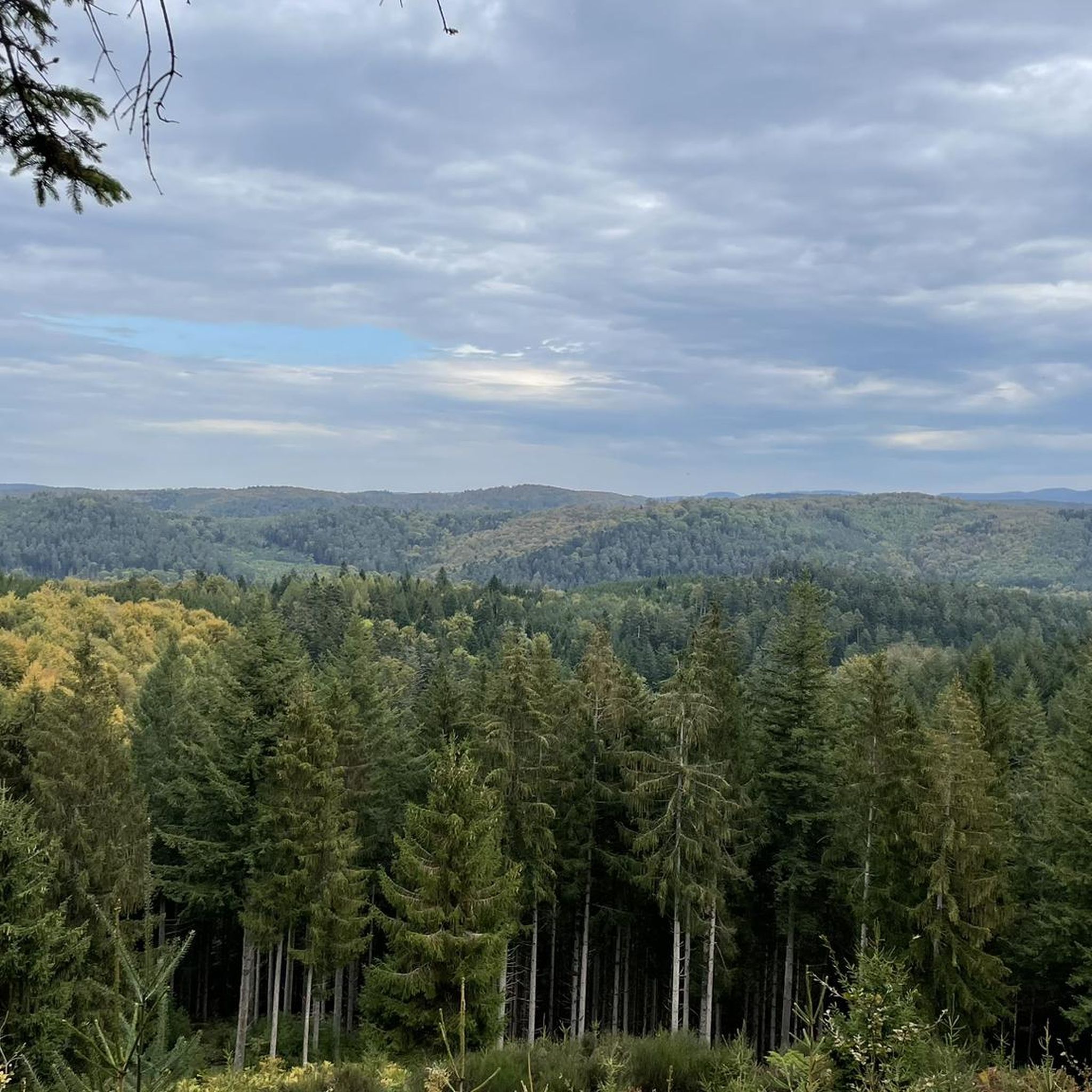
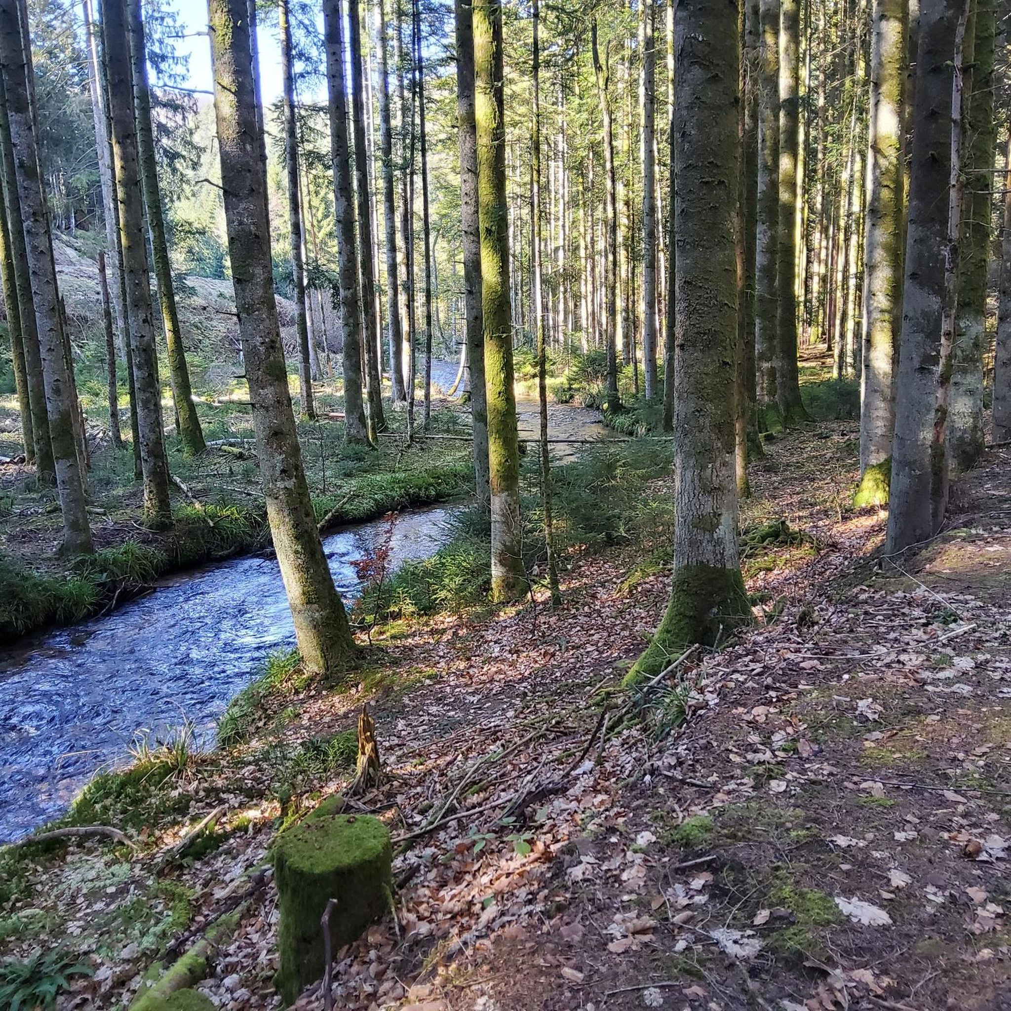
Tips from the Community

The visit of the little train is worth the detour!
0
0

Church of Saint Therese of Lisieux. Architect Litzenburger 1967
0
0


The lake is located in a kind of park. Not a soul there.
0
0

This impressive dam, located in the Vosges, forms an artificial water reservoir together with the Lac de Pierre-Percée. The dam is 69 metres high and 330 metres long, built with a clay core and lined with volcanic rock. It plays an important role in water management and energy production via an underground water connection with the Lac de la Plaine. The surrounding area offers beautiful views and is ideal for hiking along rocky paths, forests and viewpoints over the lake.
7
0
Pierre-Percée is a small mountain village in the east of the Meurthe-et-Moselle department, on the edge of the Vosges Mountains. With fewer than 100 inhabitants, it is one of the smallest communes in the region. Situated on the edge of the Plaine Valley, the village is built at the foot of the ruins of the medieval Château de Pierre-Percée, which once belonged to the Counts of Salm. The village's name refers to a 33-meter-deep well carved into the rock beneath the castle. During the Thirty Years' War, the village, like the castle, was largely destroyed. In the 20th century, Pierre-Percée regained significance with the construction of the EDF reservoir and the creation of a recreation area, which today attracts tourists for hiking, water sports, and nature experiences.
9
0

This memorial commemorates the dead of the First World War as well as the citizens of Pierre-Percée who died in other wars.
1
0

Walk in the footsteps of the fighters of the 14-18 war by walking through their trenches
1
0
Frequently Asked Questions
How many road cycling routes are available around Bertrambois?
The Bertrambois area offers a wide selection of road cycling routes, with over 100 tours available. These range from easy rides to more challenging ascents, catering to various skill levels.
What kind of terrain can I expect on road cycling routes near Bertrambois?
Road cycling around Bertrambois features diverse terrain. You'll find generally flat and well-maintained paths along the Canal de la Marne au Rhin, ideal for relaxed rides. Beyond the canal, the landscape transitions to gentle hills, lush forests, and the edge of the Vosges mountains, with elevations reaching up to 277 meters at the Col des Français, offering opportunities for more significant ascents.
Are there routes suitable for families or beginners?
Yes, the region provides several options suitable for families and beginners. The Canal de la Marne au Rhin cycle path, for instance, is known for its flat and well-maintained surfaces. Among the routes, 18 are classified as easy, offering a gentle introduction to road cycling in the area.
What are some notable landmarks or natural features I can see while cycling?
While cycling, you can enjoy pastoral and river landscapes, green valleys, and authentic villages. Notable natural features include the tranquil Étang du Stock, a recognized biosphere reserve. For those seeking historical or cultural points, routes might pass by sites like the Donon Temple or various mountain passes such as Col du Donon.
Are there any long-distance road cycling options from Bertrambois?
Yes, the region is part of extensive cycling networks. The Canal de la Marne au Rhin cycle path itself stretches approximately 313 kilometers and is part of the EuroVelo 5, also known as the Via Romea Francigena, a major European cycle route. For a challenging long-distance day ride, consider the Col du Donon – Prayé Forest Road loop from Hattigny, which covers over 100 km with significant elevation.
Where can I find more challenging road cycling routes?
For more challenging rides, look towards the areas bordering the Vosges mountains. Routes like the Vieux-Pré Dam – Lac de la Plaine loop from Bertrambois or the Col du Donon – Prayé Forest Road loop from Hattigny offer substantial elevation gains, with 15 routes in the area classified as difficult.
What is the best time of year for road cycling in the Bertrambois area?
The Grand-Est region generally offers pleasant cycling conditions from spring through autumn. The varied landscapes mean you can enjoy lush greenery in spring and summer, and beautiful foliage in autumn. Always check local weather forecasts before heading out.
Are there circular road cycling routes available?
Yes, many of the routes around Bertrambois are designed as loops, allowing you to start and finish in the same location. Popular examples include the Saint-Quirin Church – Abreschviller loop and the Village Church and Scenic Road – Maison Mazerand loop.
What do other cyclists say about their experience in Bertrambois?
The road cycling routes in Bertrambois are highly rated by the komoot community, with an average score of 4.6 stars from over 50 reviews. Cyclists often praise the varied terrain, from the peaceful canal paths to the more challenging climbs, and the charming villages encountered along the way.
Are there places to stop for refreshments or accommodation along the routes?
Yes, the cycling routes often pass through picturesque villages and towns where you can find cafes, restaurants, and accommodation. Towns like Saint-Quirin, Sarrebourg, and Saverne, accessible via the canal path, offer various amenities for cyclists.
Can I cycle along the Canal de la Marne au Rhin from Bertrambois?
Yes, Bertrambois is conveniently located near the Canal de la Marne au Rhin cycle path, which is a major draw for cyclists. Segments of this path, such as the one between Parroy and Sarrebourg, offer high-quality surfacing and scenic views, making it easily accessible for rides from the area. You can find more information on this route at France Vélo Tourisme.
What are the parking options for cyclists in Bertrambois?
While specific dedicated cycling parking facilities in Bertrambois are not detailed, as a rural area, parking is generally available in village centers or near trailheads. It's advisable to check local signage upon arrival for the most suitable parking spots.
Is public transport accessible for cyclists wanting to reach Bertrambois?
Information on specific public transport options for cyclists directly to Bertrambois is limited. However, the broader Grand-Est region has an extensive network, and major towns like Sarrebourg, which is connected by the Canal de la Marne au Rhin path, may offer better public transport links. It's recommended to check regional transport services for bicycle carriage policies.
Most popular routes around Bertrambois
Most popular attractions around Bertrambois

Get inspired with the komoot mobile app


Explore more
Browse the best Road cycling routes in other regions.
