The 6 Most Amazing Peaks around Murat
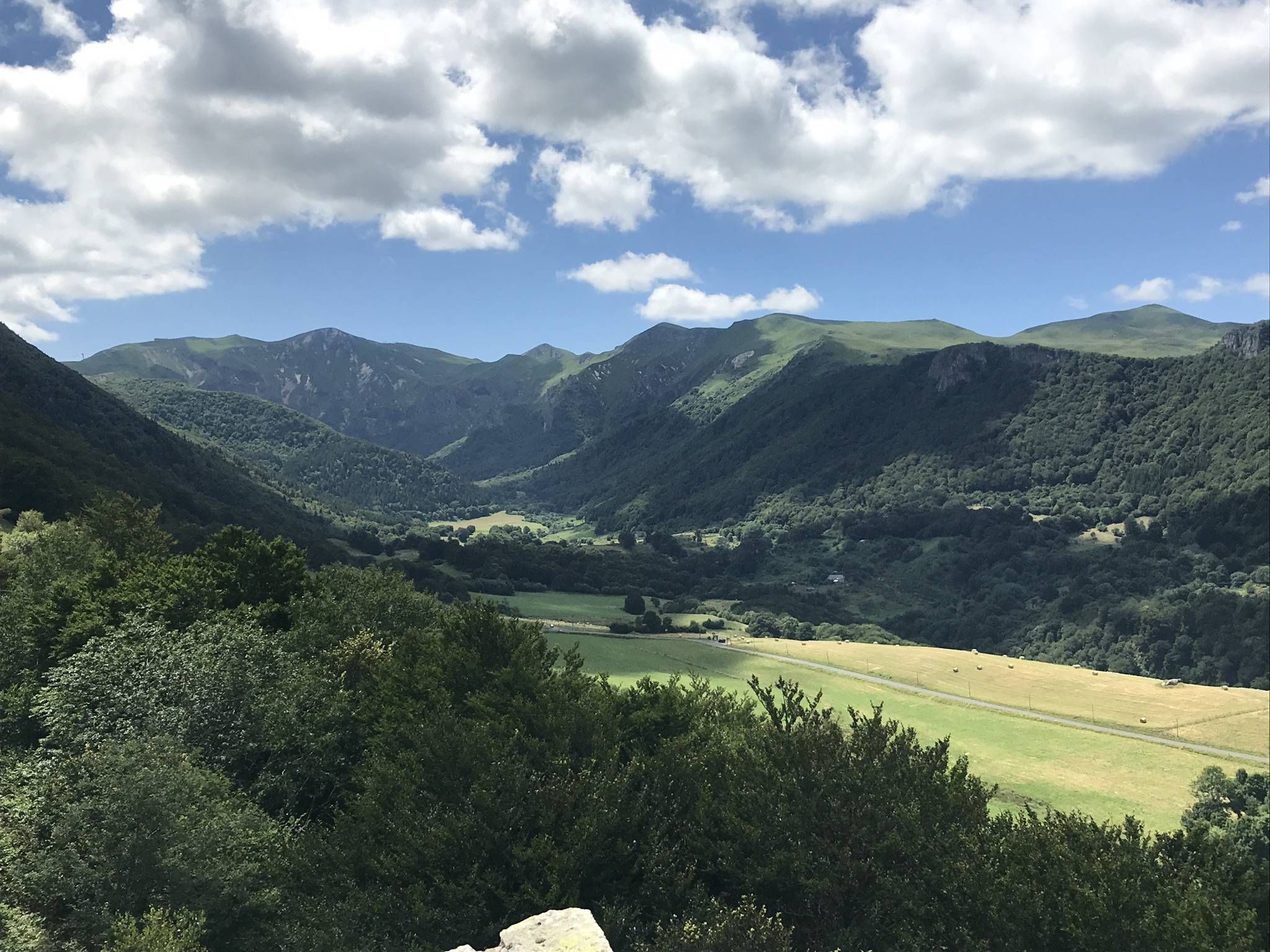
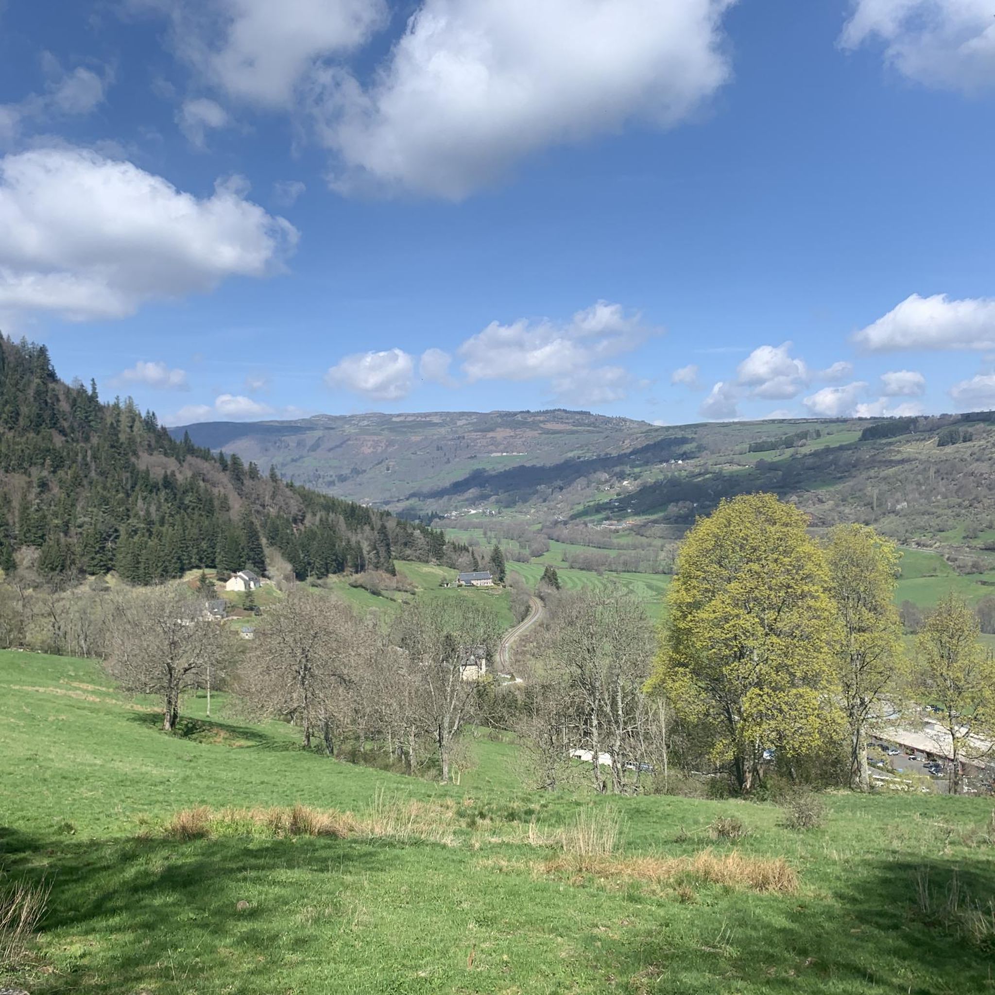
Best mountain peaks around Murat are situated in the heart of the Auvergne-Rhône-Alpes region of France, an area known for its volcanic landscapes. The town is part of the Auvergne Volcanoes Regional Natural Park and lies within the larger Massif Central. This region is characterized by ancient volcanoes, offering a diverse landscape for outdoor activities. Its dramatic natural backdrop makes it a destination for those interested in geology and hiking.
Best mountain peaks around Murat
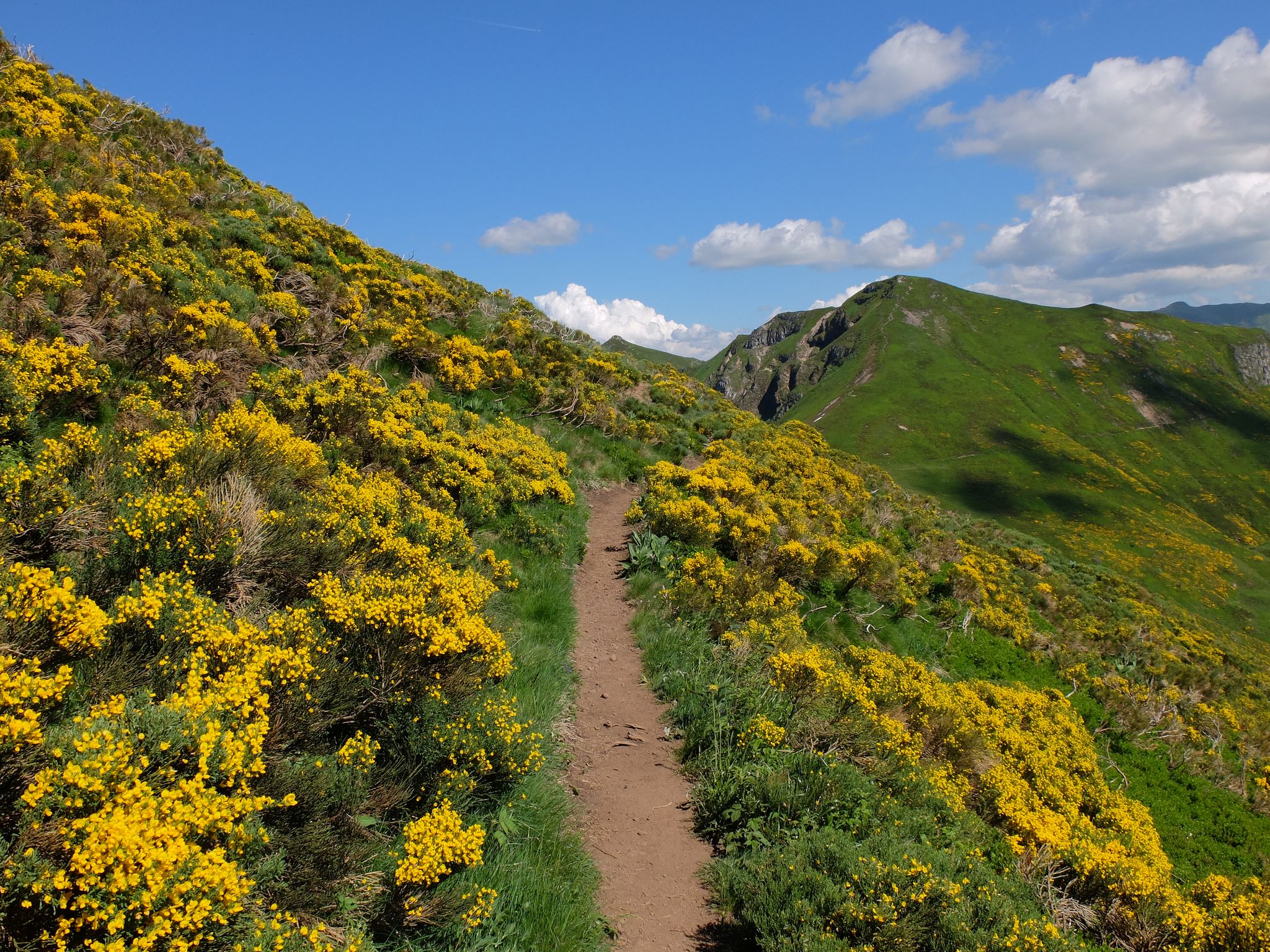
- The most popular mountain peaks is Plomb du Cantal, a summit that is the highest peak in Cantal and the second in the Massif Central. It offers extensive views when weather conditions permit.
- Another must-see spot is Eagle's Beak, a summit dominating the west of the Font d'Alagnon glacial cirque. Visitors can expect a 360° view of the mountains formed by the former Cantalian stratovolcano.
- Visitors also love Puy Brunet, a summit rising to 1,806 meters, slightly south of the Plomb du Cantal. It offers magnificent views across the Monts du Cantal.
- Murat is known for its volcanic summits, high-altitude peaks, and panoramic viewpoints. The region offers a variety of mountain peaks to see and explore, from the highest points of the Cantal massif to impressive volcanic formations.
- The mountain peaks around Murat are appreciated by the komoot community, with 184 upvotes and 63 photos shared.
Last updated: August 17, 2026
Plomb du Cantal
Highlight • Summit
It is located on a ridge line (from the puy de Bâne to the rock of Sagne du Porc) which separates the valleys of Cère, Alagnon, Brezons and Lagnon.
Translated by Google •
Tip by

Venus' Nipple
Highlight • Summit
Translated by Google •
Tip by
Sign up now to discover places like this
Get recommendations on the best single tracks, peaks, & plenty of other exciting outdoor places.
Sign up for free
Eagle's Beak
Highlight • Summit
Translated by Google •
Tip by
Puy de Niermont
Highlight • Summit
From its summit, a scenic view opens up to those who climb it. To the south, you can observe the Puy Mary and to the north, the Puy de Sancy.
In good weather, its sides are very popular with paragliders in the region.
Translated by Google •
Tip by

Puy du Rocher
Highlight • Summit
Translated by Google •
Tip by
Start today with a free account
Your next adventure awaits.
Login or Signup
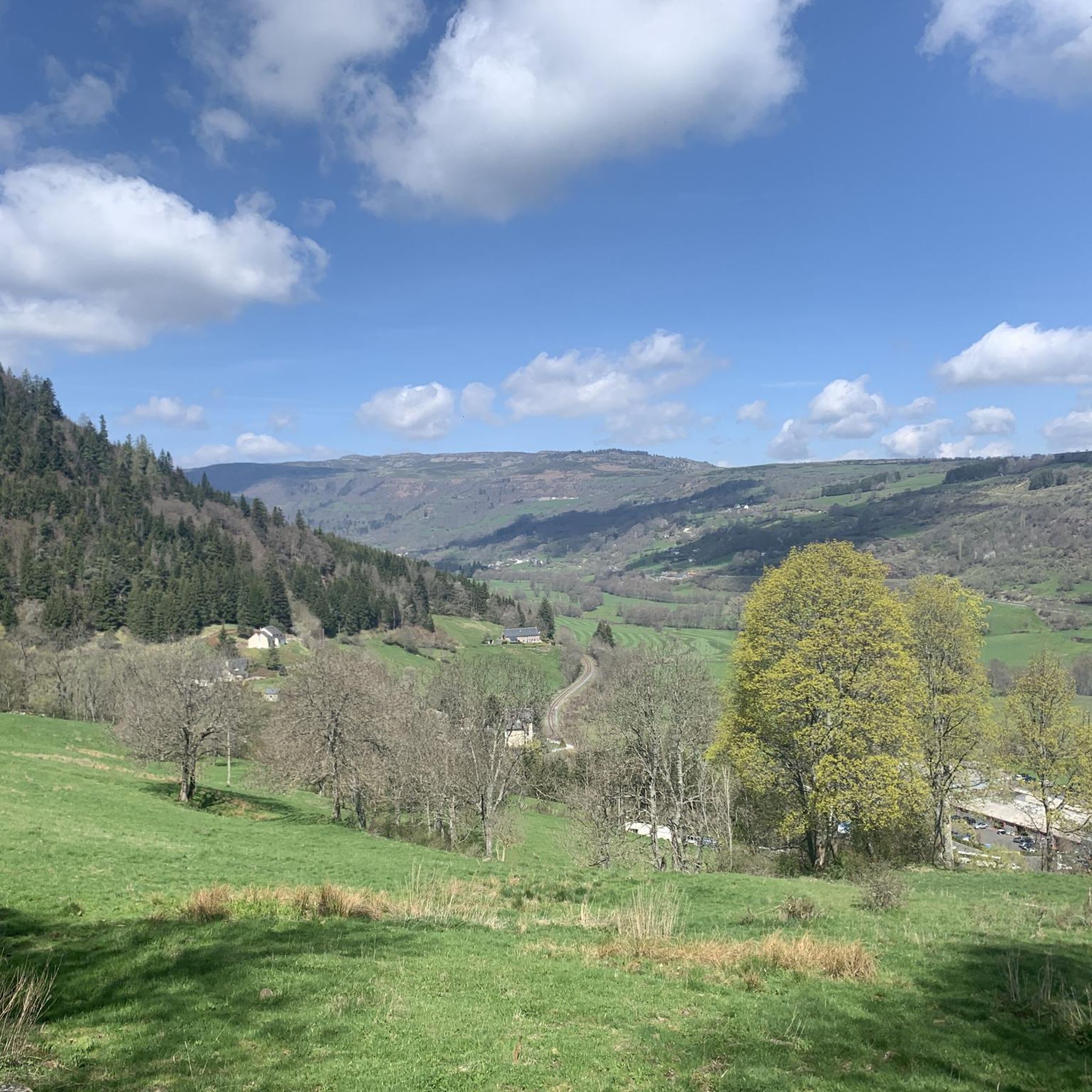
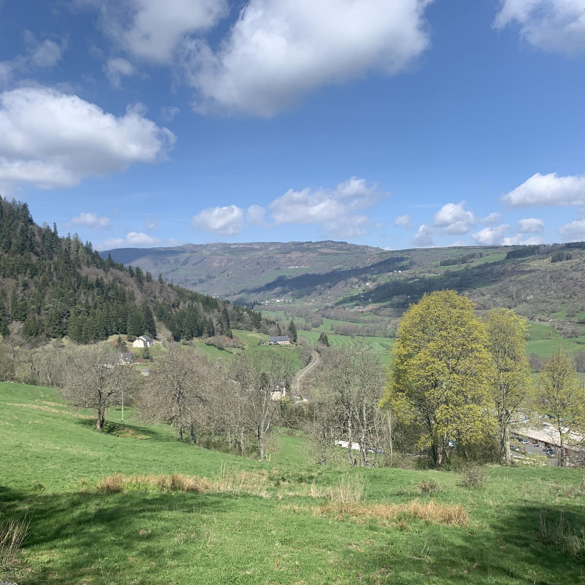


Tips from the Community

Magnificent, caution for beginner hikers! A steep descent (or climb depending on the direction) awaits you :)
0
0
Very pretty nipple, the climb is worth it!
0
0

To be completely honest, I personally lack the imagination needed to picture the Roman goddess Venus – born of foam, who, according to ancient myths, emerges from the sea – in this beautiful mountain landscape (see, for example, the famous painting by Botticelli =>> https://de.wikipedia.org/wiki/Datei:Sandro_Botticelli_-_La_nascita_di_Venere_-_Google_Art_Project_-_edited.jpg ). Additional photos of this place can be found in the hiking highlight of the same name at =>> https://www.komoot.com/de-de/highlight/3390815
0
0

a 360° view of the Cantal, Lozère, Puy de Dôme... breathtaking
0
0

Magnificent hike with a big climb to reach the lead of Cantal (1855m altitude). It is better to take a jacket (it is very cold up there). The hike takes between 2h and 3h45 (with a break).
0
0

The Plomb du Cantal, with its 1,855 meters of altitude, is the highest peak in Cantal and the second in the Massif Central. It is located on a ridge line (from the puy de Bâne to the rock of Sagne du Porc) which separates the valleys of Cère, Alagnon, Brezons and Lagnon.
1
0
The Plomb du Cantal with its 1,855m altitude is the highest peak in Cantal and the second in the Massif Central. It is located on a ridge line (from Puy de Bâne to Rocher de la Sagne du Porc) which separates the valleys of Cère, Alagnon, Brezons and Lagnon.
0
0
The Puy du Rocher, at 1,811 meters above sea level, is the second highest peak in Cantal after the Plomb du Cantal. Its summit offers a magnificent panorama of the Cantal strato-volcano.
3
0
Frequently Asked Questions
What are some of the most popular mountain peaks to visit around Murat?
The region around Murat, nestled in the Auvergne-Rhône-Alpes, offers several highly-regarded peaks. Among them, Plomb du Cantal stands out as the highest peak in Cantal, offering extensive views. Other popular choices include Eagle's Beak, known for its 360° panoramic views of the former Cantalian stratovolcano, and Puy Brunet, which provides magnificent vistas across the Monts du Cantal.
What kind of views can I expect from the mountain peaks near Murat?
Visitors to the peaks around Murat can expect breathtaking panoramic views, often encompassing the vast volcanic landscapes of the Auvergne Volcanoes Regional Natural Park. From summits like Eagle's Beak, you can enjoy a 360° perspective of the ancient Cantalian stratovolcano. Plomb du Cantal also offers extensive views when weather permits, while Puy de Niermont provides scenic views towards Puy Mary and Puy de Sancy on clear days.
Are there any challenging climbs among the peaks around Murat?
Yes, the region offers challenging climbs, particularly for those aiming for the higher summits. Peaks like Plomb du Cantal, at 1,855 meters, and Puy Brunet, at 1,806 meters, involve significant elevation gain and can be demanding, especially in windy conditions. The diverse volcanic terrain of the Massif Central provides varied challenges for experienced hikers.
What are the typical altitudes of the mountain peaks around Murat?
The mountain peaks around Murat vary in altitude, contributing to the diverse landscape. Plomb du Cantal is the highest in Cantal at 1,855 meters. Other notable peaks include Puy Brunet at 1,806 meters, Eagle's Beak at 1,699 meters, Venus' Nipple at 1,669 meters, and Puy de Niermont at 1,620 meters. Murat itself is situated in the mid-high mountains.
Are there family-friendly mountain walks in the Murat area?
While many peaks offer intermediate challenges, the broader Murat area, being part of the Auvergne Volcanoes Regional Natural Park, likely has sections suitable for families. For specific family-friendly routes, it's best to check local trail information or look for shorter, less strenuous paths that offer scenic views without significant elevation gain. The region's diverse landscape means there are options for various fitness levels.
What outdoor activities can I do near the mountain peaks around Murat?
Beyond peak bagging, the area around Murat offers a wide range of outdoor activities. You can explore numerous running trails, with options like the 20.6 km 'Murat (Cantal) – Murat loop' or the 5.5 km 'Village fortifié du Roch loop'. Road cycling is also popular, with routes such as the challenging 67.6 km 'Serre Pass – Pas de Peyrol and Puy Mary loop'. For mountain biking enthusiasts, there are trails like the 28.4 km 'Murat loop' or the 21.8 km 'St Peter's Church, Bredons – Bredons fountain loop'. You can find more details on these activities in the Running Trails around Murat, Road Cycling Routes around Murat, and MTB Trails around Murat guides.
What natural features define the mountain landscape around Murat?
The mountain landscape around Murat is primarily defined by its volcanic origins. It is situated within the Auvergne Volcanoes Regional Natural Park, part of the larger Massif Central. This region is characterized by ancient volcanoes, creating a diverse terrain of impressive rock formations, glacial cirques, and high-altitude plateaus. Features like the dramatic volcanic rock of Rocher de Bonnevie and the former Cantalian stratovolcano are prominent examples of this unique geology.
When is the best time to hike the mountains around Murat?
The best time to hike the mountains around Murat is generally during the warmer months, from late spring to early autumn (May to October), when trails are clear of snow and weather conditions are more stable. During this period, you can fully enjoy the panoramic views and diverse landscapes. Winter hiking is possible but requires appropriate gear and experience, as conditions can be challenging with snow and strong winds, especially at higher altitudes.
What historical aspects are associated with Murat and its surrounding peaks?
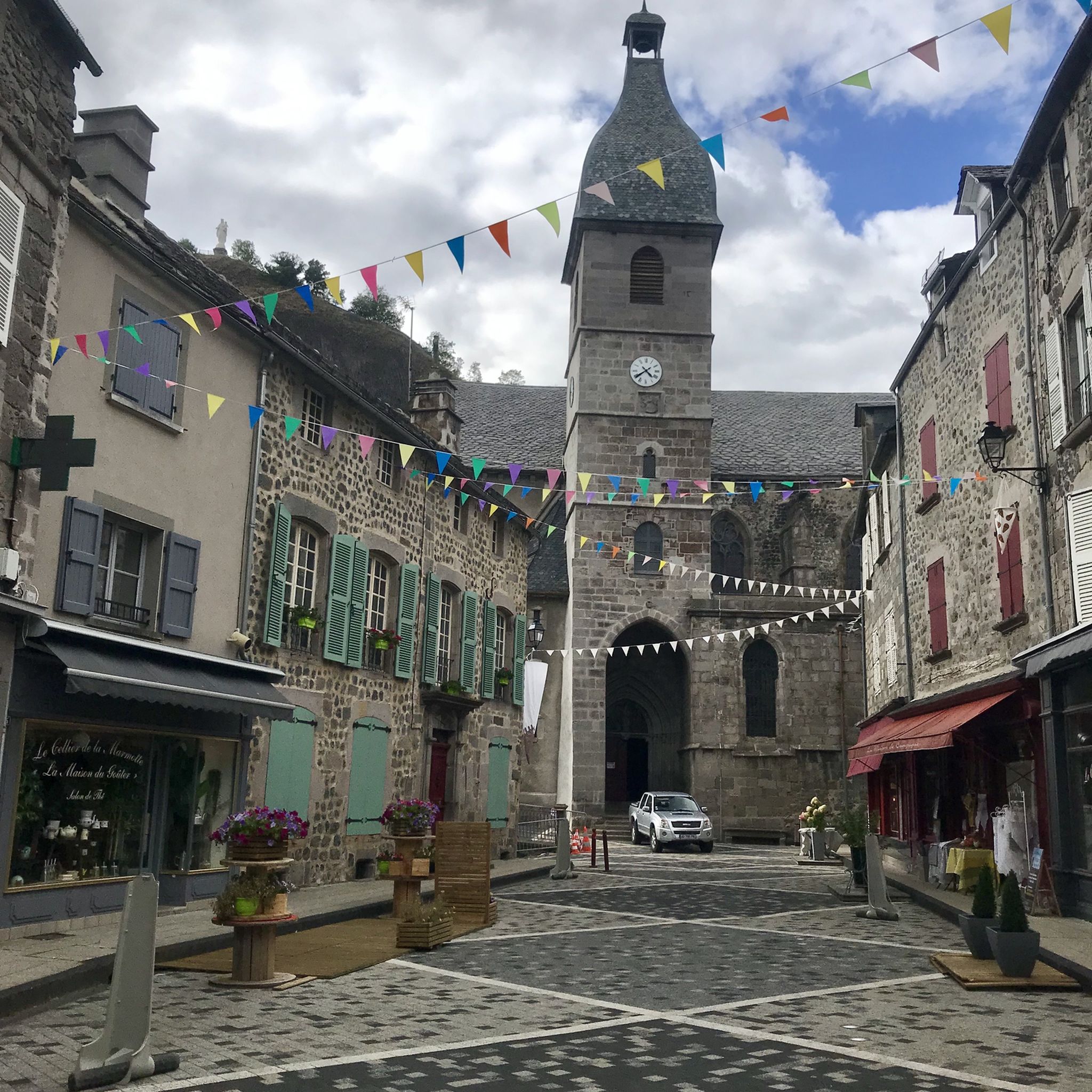
Murat itself boasts a rich medieval history, evident in its historic center with houses built from volcanic stone. While the peaks themselves are primarily natural formations, the town's history is intertwined with its dramatic natural backdrop. The region's volcanic past is a significant geological history, shaping the landscape over millennia. The town's heritage offers a cultural dimension to exploring the natural environment.
Are there any lesser-known or 'hidden gem' peaks worth exploring near Murat?
While the guide highlights popular peaks, the vastness of the Auvergne Volcanoes Regional Natural Park suggests many lesser-known spots. Exploring the various ridges and plateaus of the Cantal massif, beyond the most frequented summits, can reveal hidden viewpoints and quieter trails. Local guides or detailed topographic maps might point to smaller puy (volcanic hills) or less-trafficked sections of the GR 400 trail for a more secluded experience.
What should I wear for hiking in the Murat peaks region?
When hiking in the Murat peaks region, it's essential to dress in layers, as weather conditions can change rapidly, especially at higher altitudes. Even in summer, strong winds can make it feel much colder, as noted by visitors to Puy Brunet. Waterproof and windproof outer layers are highly recommended, along with sturdy hiking boots, sun protection, and plenty of water. For winter, specialized cold-weather gear is necessary.
Can I find circular walking routes around the Murat mountains?
Yes, the region around Murat is well-suited for circular walking routes. The famous GR 400 trail, a 129.4 km route, starts and ends in Murat, offering extensive hiking opportunities through the volcanic terrain, including many circular sections. Additionally, many of the local hiking guides, such as the Running Trails around Murat, feature loop options like the 'Murat (Cantal) loop from Murat', which can also be enjoyed as walks.
Are there options for mountain biking or road cycling near the peaks?
Absolutely. The mountainous terrain around Murat is excellent for both mountain biking and road cycling. For road cyclists, routes like the 'Serre Pass – Pas de Peyrol and Puy Mary loop' offer challenging climbs and scenic descents. Mountain bikers can enjoy trails such as the 'Murat loop' or the 'Reeds on Lac du Pêcher – Lac du Pêcher loop'. Detailed routes and difficulty levels can be found in the Road Cycling Routes around Murat and MTB Trails around Murat guides.
Most popular routes around Murat
Most popular attractions around Murat

Get inspired with the komoot mobile app


Explore more
See even more amazing summits around Murat with these guides:
