The best cycling routes around Chastel-Sur-Murat
4.6
(61)
1,096
riders
91
rides
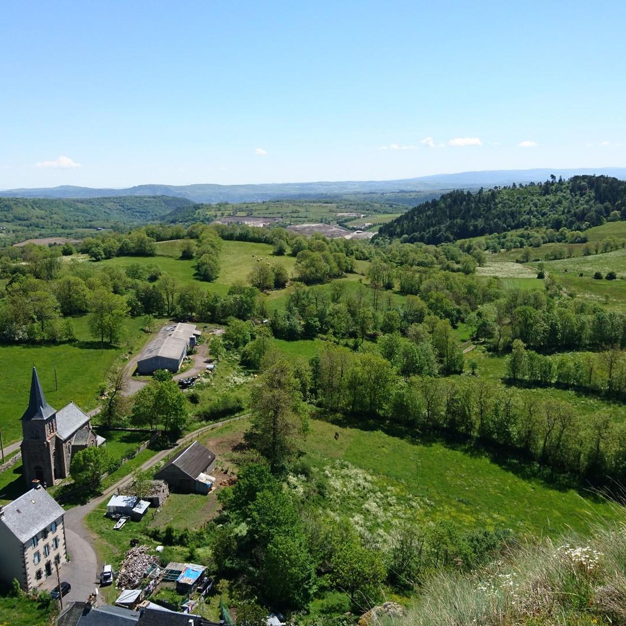
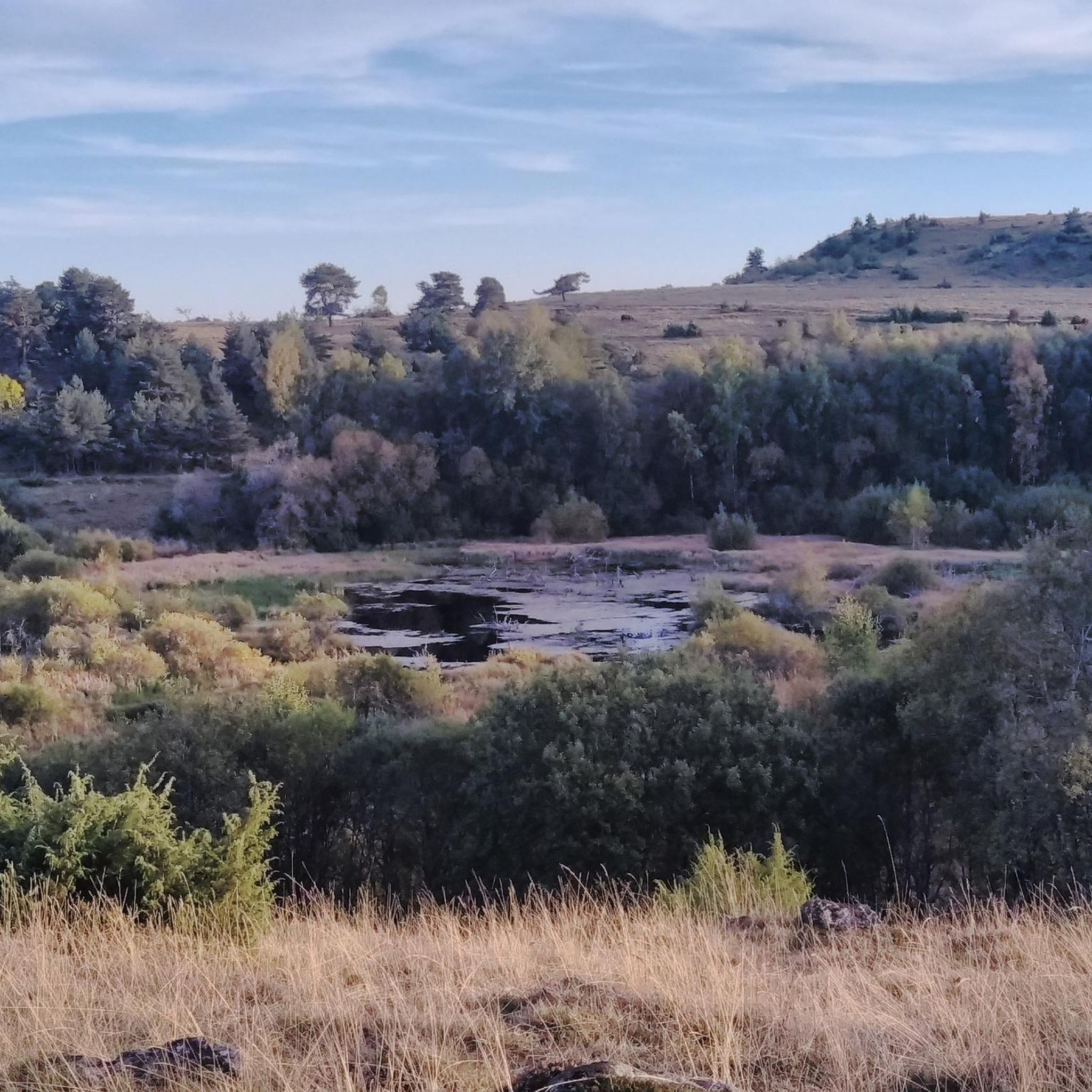
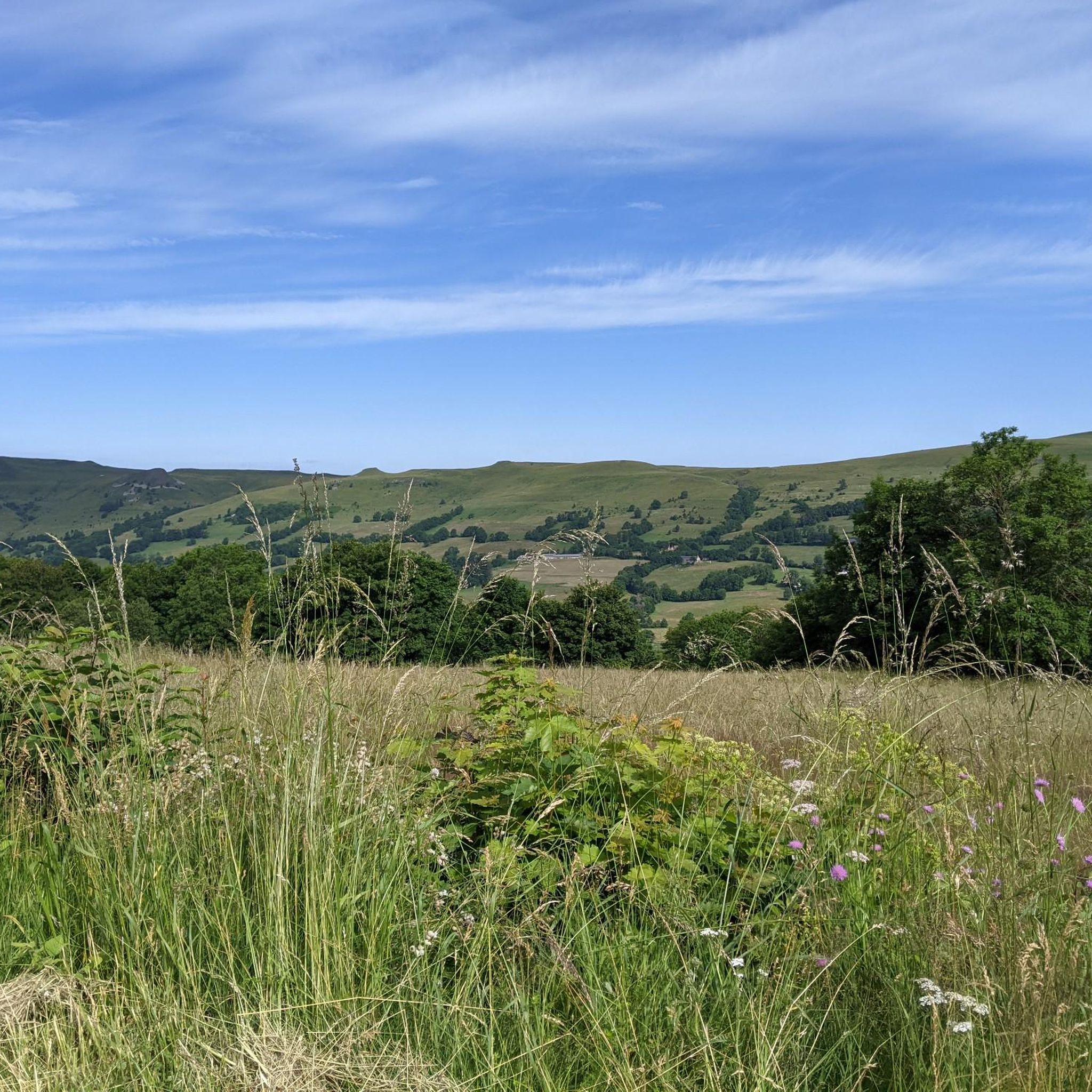
Touring cycling around Chastel-Sur-Murat is characterized by its dramatic volcanic landscapes and diverse natural features within the Cantal mountains. The region presents significant climbs and descents, with prominent peaks such as the Plomb du Cantal and Puy Griou. Cyclists navigate through volcanic plateaus, glacial depressions, and picturesque valleys like the Alagnon and Benet. This topography provides both challenging and rewarding routes for touring cyclists.
Best touring cycling routes around Chastel-Sur-Murat
- The most popular touring cycling route is Serre Pass –…
Last updated: June 29, 2026
4.6
(5)
72
riders
39.8km
02:53
890m
890m
Hard bike ride. Very good fitness required. Mostly paved surfaces. Suitable for all skill levels.
5.0
(1)
24
riders
66.8km
04:48
1,410m
1,410m
Hard bike ride. Very good fitness required. Mostly paved surfaces. Suitable for all skill levels.

Sign up for free
4.3
(3)
14
riders
35.9km
02:40
760m
760m
Hard bike ride. Very good fitness required. Mostly paved surfaces. Suitable for all skill levels.
13
riders
18.6km
01:13
170m
170m
Moderate bike ride. Good fitness required. Mostly paved surfaces. Suitable for all skill levels.
7
riders
65km
04:25
1,040m
1,040m
Hard bike ride. Very good fitness required. Mostly paved surfaces. Suitable for all skill levels.
Get access to more routes and recommendations from other explorers.
Sign up for free
Already have an account?
Our route recommendations are based on thousands of hikes, rides, and runs completed by other people on komoot.
Start today with a free account
Your next adventure awaits.
Login or Signup
Tips from the Community

A drinking water fountain... and fresh!
1
0

A beautiful, partly shady climb from Claux to the pass. Then the real challenge begins at Puy Mary.
0
0


The route takes you through incredibly beautiful scenery as you head up the valley.
1
0

The Haut-Cantal Puy Mary Nordic area offers more than 60 kilometres of snowshoe and cross-country ski trails. The area is accessible via two gateways: Lascourt and the Col de Serre, here at an altitude of 1,200 metres.
0
0

By bike you can see this castle from different angles. It is worth the detour.
2
0
This pass is rather easy if we compare it with what awaits us, the Puy Mary
1
0
Frequently Asked Questions
What kind of terrain can I expect when touring cycling around Chastel-sur-Murat?
The region is dominated by the dramatic volcanic landscapes of the Cantal mountains, offering significant climbs and descents. You'll encounter ancient volcanic peaks like the Plomb du Cantal and Puy Griou, as well as volcanic plateaus, glacial depressions, and picturesque valleys such as the Alagnon and Benet. This varied topography provides both challenging and rewarding routes.
Are there many touring cycling routes available in Chastel-sur-Murat?
Yes, there are nearly 100 touring cycling routes around Chastel-sur-Murat. The network offers a wide range of options, from moderate paths to more than 60 difficult ascents, catering to various skill levels.
What are some notable natural features or landmarks I can see along the cycling routes?
Cyclists can enjoy breathtaking views of prominent peaks like Plomb du Cantal and Puy Peyre-Arse. The area also features unique peat bogs, such as those at Lapsou and Brujaleine, which are sensitive natural areas. You might also encounter waterfalls like the Cascade de Liadouze, and the Romanesque chapel of Saint Anthony, offering panoramic views from 1,200 meters.
Are there any circular touring cycling routes in the area?
Yes, many routes around Chastel-sur-Murat are designed as loops. For example, the challenging Serre Pass – Pas de Peyrol Pass (1,589 m) loop from Murat covers 40.6 miles (65.4 km) and offers expansive volcanic scenery. Another option is the Serre Pass – Pas de Peyrol Pass (1,589 m) loop from Chastel-sur-Murat, a difficult 24.9 miles (40.0 km) path with significant ascents.
What do other touring cyclists enjoy most about cycling in Chastel-sur-Murat?
The area is highly rated by the komoot community, with an average score of 4.7 stars from over 60 reviews. Cyclists frequently praise the dramatic volcanic landscapes, the challenging ascents with rewarding panoramic views, and the diverse natural features that make each ride unique.
Are there any easier touring cycling routes for beginners or families?
While the region is known for its challenging terrain, there are a few easier routes. You can find 2 easy routes and 30 moderate routes, which might be more suitable for beginners or families looking for a less strenuous experience. For example, the Murat to Aurillac loop from Murat is a moderate 17.6 miles (28.4 km) trail leading through varied landscapes.
What is the best time of year to go touring cycling in Chastel-sur-Murat?
Given the mountainous terrain and high passes, late spring through early autumn (roughly May to October) generally offers the most favorable conditions for touring cycling. During these months, you can expect milder weather and clearer roads, making the ascents and descents more enjoyable. Always check local weather forecasts before heading out.
Are there any charming towns or villages to visit along the cycling routes?
Absolutely. Chastel-sur-Murat is close to the medieval town of Murat, a 'Petite Cité de Caractère' with historic architecture. Other nearby notable villages include Saint-Flour, Riom-es-Montagnes, Salers (listed as a 'most beautiful village in France'), and Tournemire, all offering cultural stops and amenities during your tour.
What are the typical distances and durations for touring cycling routes here?
Routes vary significantly. For instance, a difficult route like the Murat – View of the Plomb du Cantal loop from Murat spans about 41.2 miles (66.3 km) and can take around 4 hours 45 minutes. A moderate option like the Murat to Aurillac loop from Murat is about 17.6 miles (28.4 km) and typically takes around 2 hours 7 minutes. Distances and durations depend heavily on the chosen route's difficulty and elevation.
Is it possible to find routes that offer views of the Plomb du Cantal?
Yes, many routes in the region provide stunning views of the Plomb du Cantal, which is the highest point in Cantal. For example, the Murat – View of the Plomb du Cantal loop from Murat is specifically designed to showcase this magnificent peak.
Are there any specific ecological sites worth exploring by bike?
The peat bogs of Chastel-sur-Murat, including Lapsou and Brujaleine, are classified as Sensitive Natural Areas due to their unique biodiversity. While cycling directly through them might be restricted, some routes offer views or access points to explore these fragile ecosystems. You can find more information about these areas on the Hautes Terres Tourisme website.
Where can I find detailed maps or information about the cycling circuits?
Tourist information centers, particularly in nearby Murat, are known to offer detailed maps and information on various cycling circuits in the region. These resources can be invaluable for planning your touring cycling adventures.
Most popular routes around Chastel-Sur-Murat
Most popular attractions around Chastel-Sur-Murat

Get inspired with the komoot mobile app


Explore more
Browse the best Cycling routes in other regions.
