The best road cycling routes around Virargues
4.8
(54)
1,786
riders
149
rides
Road cycling routes around Virargues traverse a diverse landscape characterized by volcanic massifs, expansive plateaus, and verdant valleys within the Cantal department. The region offers varied terrain, from challenging ascents to mountain passes like the Pas de Peyrol, to more leisurely rides through high-altitude pasturelands. Cyclists encounter a mix of "ribs and descents," rolling hills, and pristine natural settings, including glacial valleys. This environment provides a range of experiences for road cyclists seeking both demanding climbs and scenic routes.
Best road cycling routes around Virargues
- The most popular road cycling route is Serre Pass – Pas de Peyrol and Puy Mary loop from Murat, a 42.0 miles (67.6 km) trail that takes 3 hours 35 minutes to complete. This difficult route features significant elevation gain and passes through the renowned Pas de Peyrol.
- Another top favourite among local road cyclists is View of Albepierre – Col de Prat de Bouc loop from Murat, a moderate 26.7 miles (43.0 km) path. This route offers a substantial climb to Col de Prat de Bouc, providing views of the surrounding volcanic landscape.
- Local road cyclists also love the Col de Prat de Bouc – View of Albepierre loop from Murat, a 42.2 miles (67.9 km) trail leading through volcanic terrain and high plateaus, often completed in about 3 hours 35 minutes.
- Road cycling around Virargues is defined by volcanic massifs, high plateaus, and glacial valleys. The network of routes offers options for various ability levels, from moderate climbs to difficult ascents over mountain passes.
- The routes in Virargues are highly rated by the komoot community with an average score of 4.8 stars from over 40 reviews. More than 1300 road cyclists have used komoot to explore Virargues's varied terrain.
Last updated: July 1, 2026
4.9
(8)
357
riders
83.6km
05:10
2,150m
2,150m
Hard road ride. Very good fitness required. Mostly well-paved surfaces and easy to ride.
5.0
(4)
124
riders
68.0km
03:40
1,350m
1,350m
Hard road ride. Very good fitness required. Some segments of this route may be unpaved and difficult to ride.

Sign up for free
4.0
(3)
104
riders
39.6km
02:16
890m
890m
Moderate road ride. Good fitness required. Mostly well-paved surfaces and easy to ride.
5.0
(6)
88
riders
42.8km
02:13
770m
770m
Moderate road ride. Good fitness required. Mostly well-paved surfaces and easy to ride.
29
riders
57.7km
02:41
700m
700m
Moderate road ride. Good fitness required. Some segments of this route may be unpaved and difficult to ride.
Get access to more routes and recommendations from other explorers.
Sign up for free
Already have an account?
Our route recommendations are based on thousands of hikes, rides, and runs completed by other people on komoot.
Start today with a free account
Your next adventure awaits.
Login or Signup
Tips from the Community

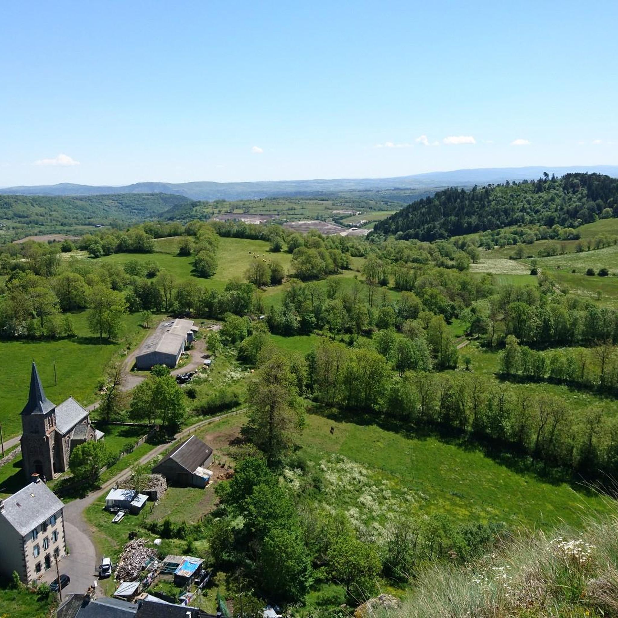
A beautiful, partly shady climb from Claux to the pass. Then the real challenge begins at Puy Mary.
0
0
Small village before the climb to Puy Mary. A bit deserted on Whit Monday.
3
0


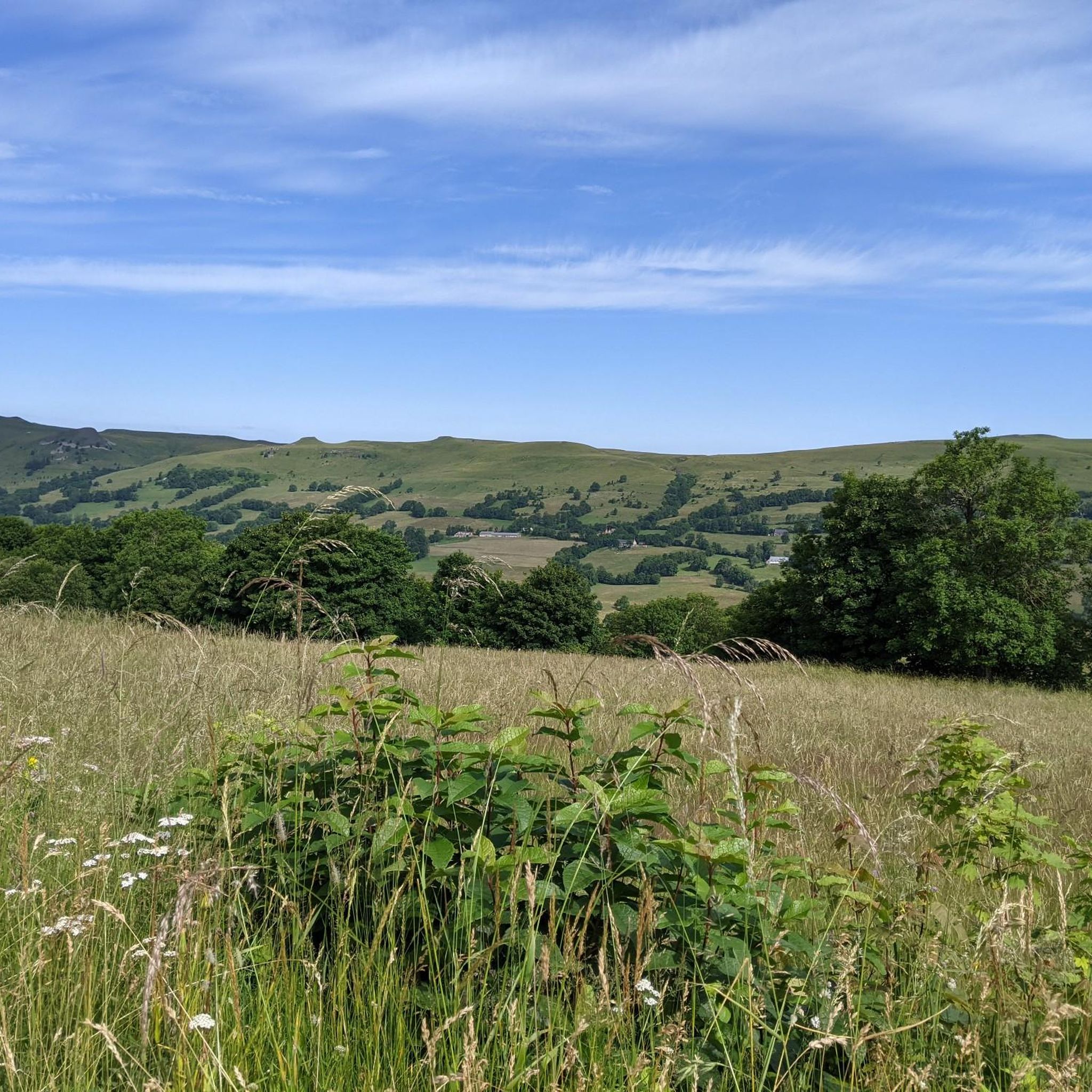
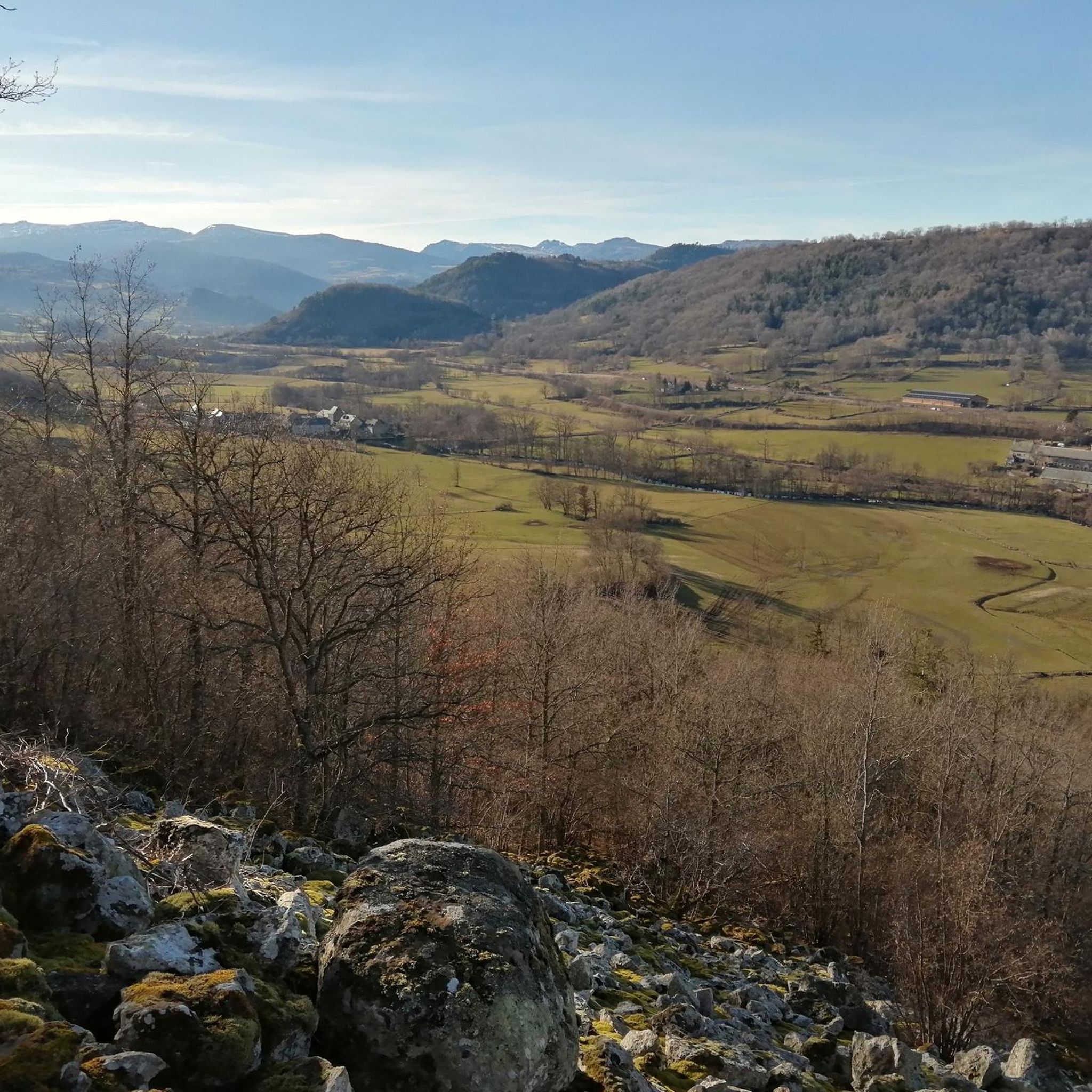
The route takes you through incredibly beautiful scenery as you head up the valley.
1
0

The Haut-Cantal Puy Mary Nordic area offers more than 60 kilometres of snowshoe and cross-country ski trails. The area is accessible via two gateways: Lascourt and the Col de Serre, here at an altitude of 1,200 metres.
0
0

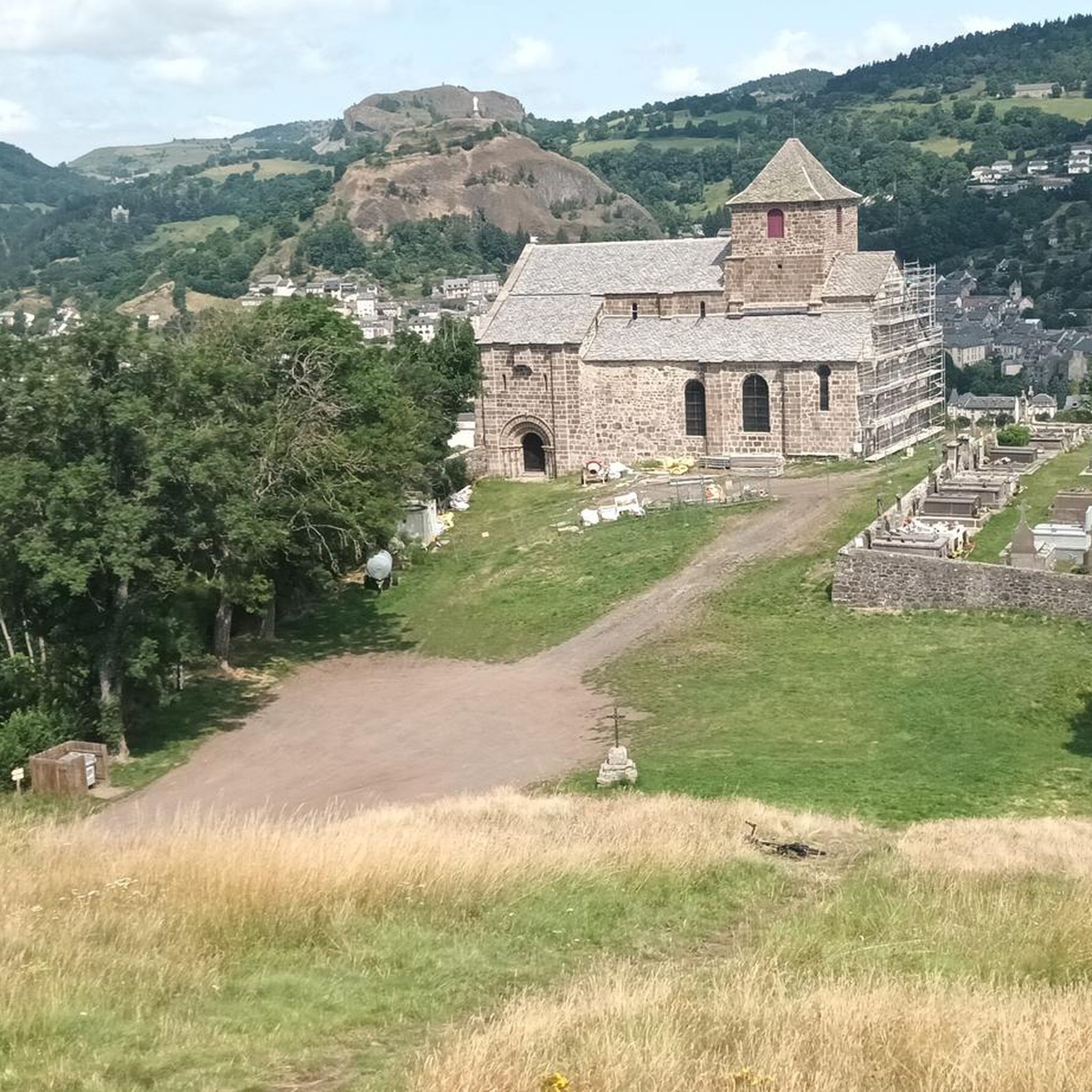
By bike you can see this castle from different angles. It is worth the detour.
2
0
By bike you can see this castle from different angles. It is worth the detour.
1
0
This pass is rather easy if we compare it with what awaits us, the Puy Mary
1
0
Frequently Asked Questions
How many road cycling routes are available around Virargues?
There are over 140 road cycling routes around Virargues, offering a wide range of options for different skill levels. You can find routes varying from moderate to difficult, traversing the diverse landscapes of the Cantal department.
What kind of terrain can I expect on road cycling routes near Virargues?
The terrain around Virargues is highly varied, characterized by volcanic massifs, expansive plateaus, and verdant valleys. You'll encounter a mix of challenging ascents, such as those leading to mountain passes like the Pas de Peyrol, and more leisurely rides through high-altitude pasturelands and glacial valleys. Expect rolling hills and pristine natural settings.
Are there routes suitable for beginners or less experienced road cyclists?
Yes, while the region is known for its challenging climbs, there are routes suitable for less experienced cyclists. Out of the 141 available routes, 13 are rated as easy, and 71 are moderate, offering gentler gradients and shorter distances through scenic areas like the Planèze and Margeride plateaus.
Where can I find challenging road cycling routes with significant climbs?
For challenging routes with significant elevation gain, focus on the volcanic massifs. Routes like Serre Pass – Pas de Peyrol and Puy Mary loop from Murat offer substantial climbs, including the renowned Pas de Peyrol, a famous route from the Tour de France. Another demanding option is the Col de Prat de Bouc – View of Albepierre loop from Murat, which leads through volcanic terrain and high plateaus.
Are there any circular road cycling routes around Virargues?
Yes, many of the road cycling routes around Virargues are designed as loops, allowing you to start and finish in the same location. Examples include the View of Albepierre – Col de Prat de Bouc loop from Murat and the Murat – Col de Prat de Bouc loop from Murat, both offering scenic circular journeys.
What are some scenic viewpoints or attractions I can see while cycling?
The region offers numerous scenic points. You can cycle towards significant peaks like Plomb du Cantal and Puy Griou for panoramic views. Routes often pass through picturesque villages such as Murat, and you might encounter natural features like the Vergnes Waterfall or the dramatic Cirque de Chamalière. The Col du Pertus and Pas de Peyrol also offer breathtaking scenery.
Is Virargues a good destination for family-friendly road cycling?
While many routes involve significant climbs, there are easier options that can be suitable for families, particularly those with some cycling experience. Look for routes marked as 'easy' or 'moderate' that traverse the high plateaus or valleys, which tend to have less intense elevation changes. Always check the route profile for elevation and distance to ensure it matches your family's ability.
What is the best time of year for road cycling in Virargues?
The best time for road cycling in Virargues is generally from late spring to early autumn (May to October). During these months, the weather is milder, and the mountain passes are typically clear of snow. Summer offers lush green landscapes, but be prepared for potentially warmer temperatures on exposed sections. Always check local weather forecasts before heading out.
Are there options for parking my car when starting a road cycling route?
Yes, many villages and towns in the region, such as Murat, which is a common starting point for several routes, offer public parking facilities. It's advisable to check specific parking availability for your chosen starting point before your ride. For more detailed information on local services, you might consult the local tourist office.
Can I reach Virargues by public transport with my bike?
Public transport options in rural areas like Virargues can be limited, especially for carrying bikes. While some regional trains or buses might accommodate bicycles, it's best to verify policies and availability directly with the transport providers in the Auvergne-Rhône-Alpes region. Driving to the area and utilizing local parking is often the most flexible option for cyclists.
Are there cafes or places to stop for refreshments along the routes?
Yes, many road cycling routes pass through or near charming villages where you can find cafes, bakeries, and restaurants. Towns like Murat, Saint-Flour, and Salers offer opportunities for refreshment stops. It's always a good idea to carry sufficient water and snacks, especially on longer routes or those traversing more remote sections of the volcanic park.
What do other cyclists say about road cycling in Virargues?
The road cycling experience around Virargues is highly rated by the komoot community, with an average score of 4.8 stars from over 40 reviews. Cyclists often praise the stunning and diverse landscapes, the challenging yet rewarding climbs, and the serene atmosphere of the region's rolling hills and pristine natural settings.
Are there other outdoor activities besides road cycling in the Virargues area?
Absolutely. The Virargues area is a 'life-size playground' for outdoor enthusiasts. Beyond road cycling, you can enjoy extensive hiking trails, including routes in the Parc Naturel Régional des Volcans d'Auvergne. Mountain biking is also very popular, with legendary itineraries like the 'Grande Traversée du Massif Central'. The region's glacial valleys and wooded areas provide excellent opportunities for exploring nature on foot or by bike.
Most popular attractions around Virargues

Get inspired with the komoot mobile app


Explore more
Browse the best Road cycling routes in other regions.
