The best mountain hikes around Albepierre-Bredons
5.0
(7)
15
hikers
3
hikes
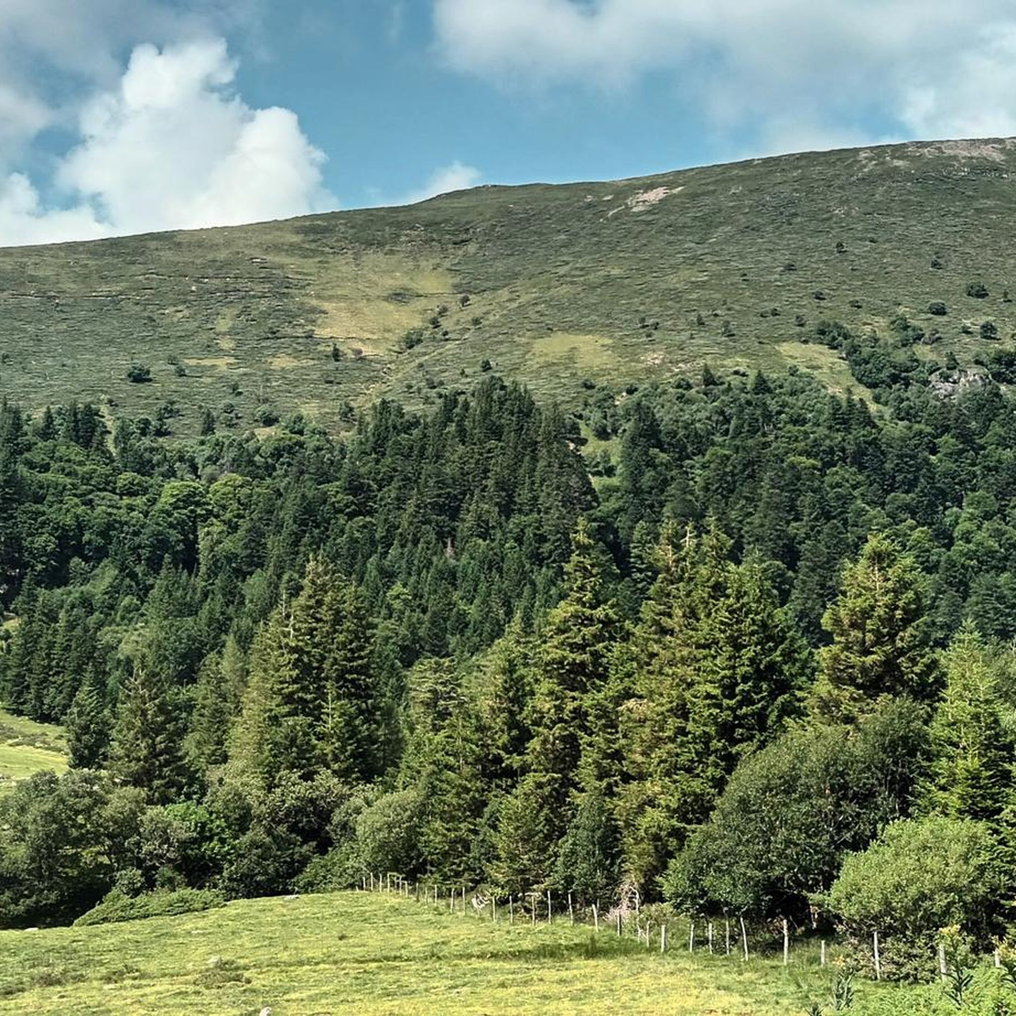
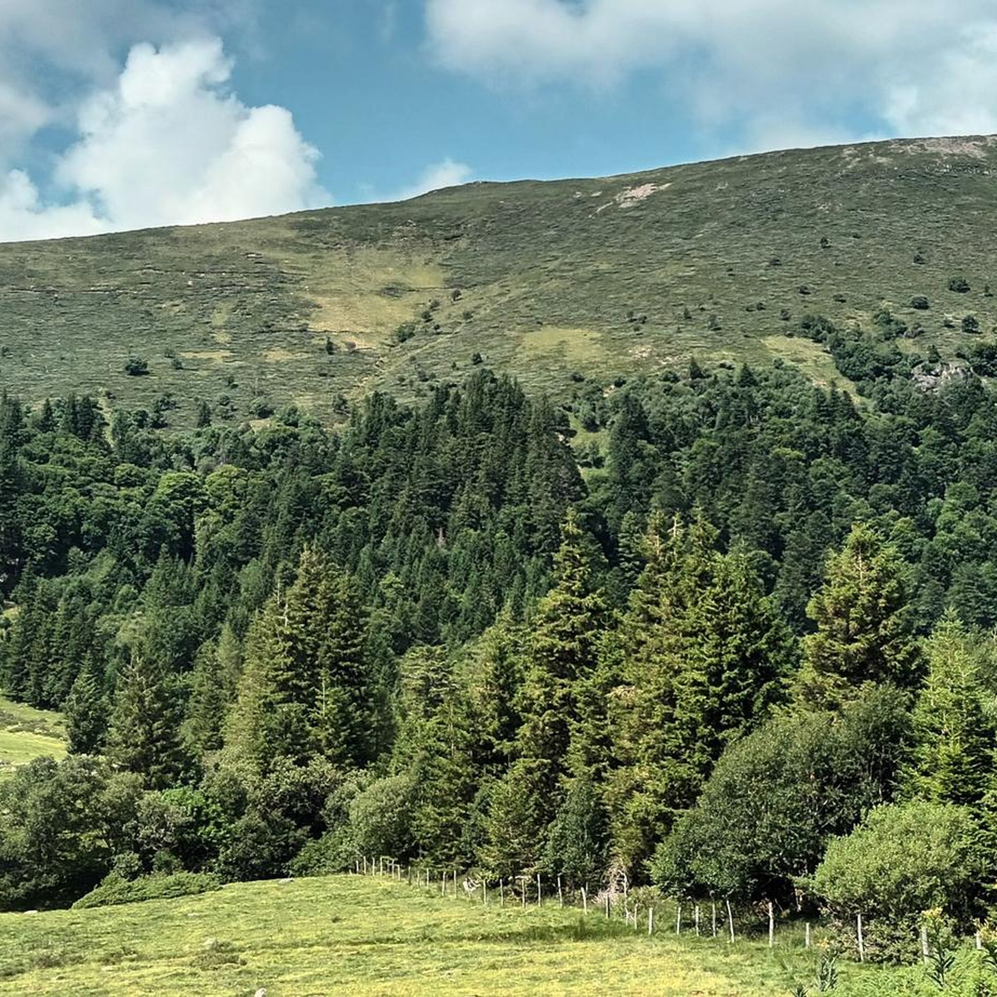
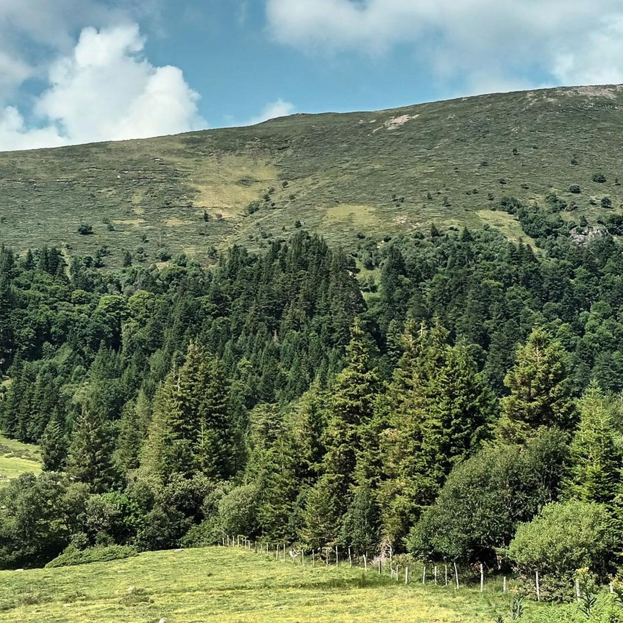
Mountaineering routes Albepierre-Bredons traverse the diverse volcanic landscapes of the Cantal Volcano, Europe's largest stratovolcano. The region features numerous "puys" (volcanic peaks), including the prominent Plomb du Cantal, the highest point in Cantal at 1,855 meters. Mountaineers will find a rugged terrain characterized by dramatic rock formations, deep valleys, and extensive forests, offering varied challenges and panoramic views.
Best mountaineering routes around Albepierre-Bredons
- The most popular mountaineering route is Plomb du Cantal, 1,855 m – Vue sur la mer de…
Last updated: May 18, 2026
5.0
(3)
4
hikers
20.8km
07:42
1,030m
1,030m
Hard mountaineering route. Very good fitness required. Sure-footedness, sturdy shoes and alpine experience required.
5.0
(1)
5
hikers
11.5km
04:43
690m
690m
Hard mountaineering route. Good fitness required. Sure-footedness, sturdy shoes and alpine experience required.

Sign up for free
5.0
(1)
3
hikers
6.55km
02:35
370m
370m
Hard mountaineering route. Good fitness required. Sure-footedness, sturdy shoes and alpine experience required.
5.0
(2)
3
hikers
4.03km
01:18
170m
170m
Moderate mountaineering route. Great for any fitness level. Mostly accessible paths. Sure-footedness required.
Our route recommendations are based on thousands of hikes, rides, and runs completed by other people on komoot.
Start today with a free account
Your next adventure awaits.
Login or Signup
Popular around Albepierre-Bredons
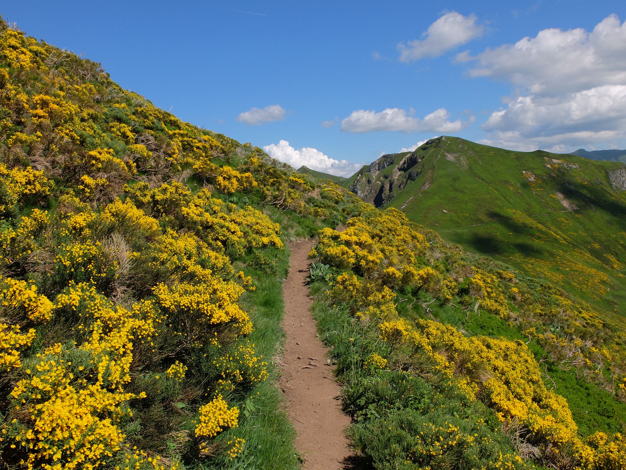
Tour des Volcans du Cantal (GR 400) – The biggest volcano in Europe
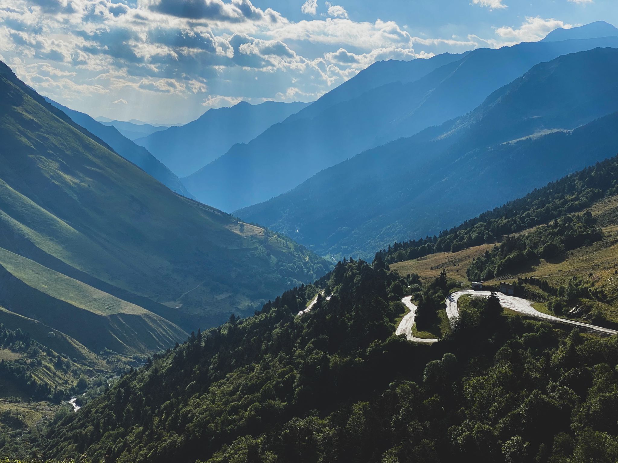
Born to Ride 2020
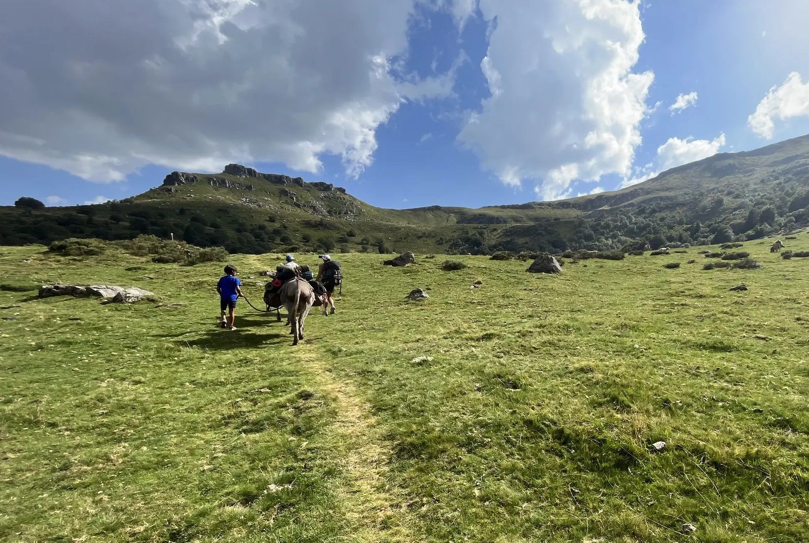
Hike with donkeys in France – a family adventure in the Mounts of Cantal
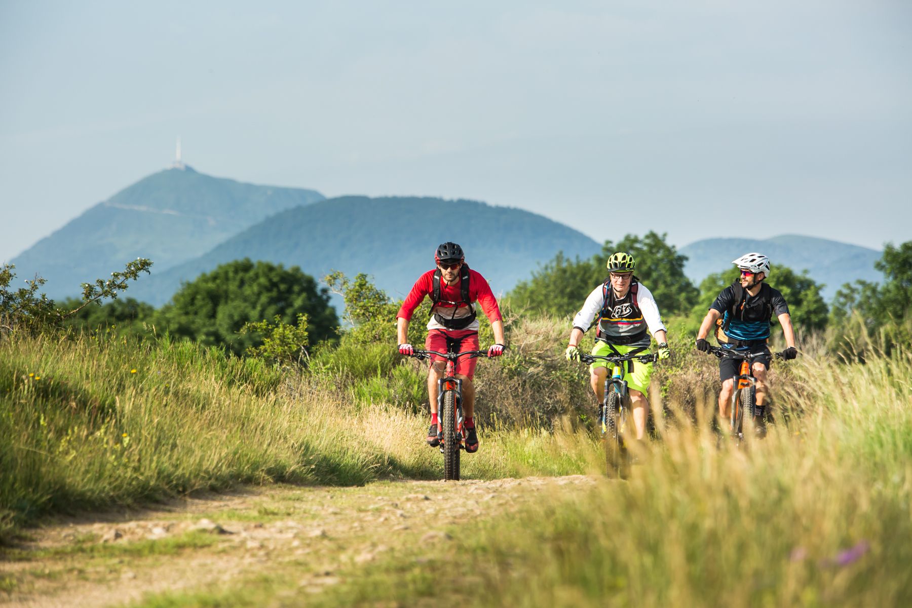
By MTB through the Auvergne — la traversée des volcans
Hiking around Albepierre-Bredons
Road Cycling Routes around Albepierre-Bredons
Cycling around Albepierre-Bredons
Running Trails around Albepierre-Bredons
MTB Trails around Albepierre-Bredons
Gravel biking around Albepierre-Bredons
Other adventures around Albepierre-Bredons


Tips from the Community

Superb and eating at the buron moved
0
0

magnificent hike along the waterfalls. calm
0
0

A magnificent site where the panoramas are breathtaking!!!
0
0

The Rolland Breach was mildly challenging for this 72yo when dry. Descending in the wet would need good grippy footwear. There is an alternative GR400 track bypass
0
0

Here begin the characteristic steps that allow access to the Puy Mary. The result is a beautiful perspective of this emblematic summit of the Cantal mountains.
1
0

nice climb and good visibility over the valley
0
0
Frequently Asked Questions
What kind of terrain can I expect on mountaineering routes around Albepierre-Bredons?
The region is dominated by the remnants of the massive Cantal Volcano, Europe's largest stratovolcano. You'll encounter a dramatic and varied terrain, including numerous 'puys' (volcanic peaks) like the prominent Plomb du Cantal, rugged rock formations, deep valleys, and extensive forests. Expect challenging ascents and descents, often with panoramic views from the ridges.
Are there any moderate mountaineering routes for those looking for a less strenuous challenge?
Yes, while many routes are difficult, there are options for moderate challenges. For instance, the Plomb du Cantal, 1,855 m – Vue sur la mer de nuages 🏔️⛅🏔️ loop from Col de Prat-de-Bouc is a moderate 13.5 km trail that takes approximately 4 hours 40 minutes to complete, offering expansive views without the most extreme difficulty.
What are some of the highest peaks I can summit in the Albepierre-Bredons area?
The highest peak in the region is Plomb du Cantal, reaching 1,855 meters. Another iconic summit is Puy Mary Summit, with its recognizable pyramidal silhouette at 1,783 meters, offering breathtaking views.
Are there any circular mountaineering routes available?
Yes, many of the mountaineering routes in Albepierre-Bredons are designed as loops. For example, you can explore the Puy Chavaroche – Redondet Pass loop from Mandailles, a 11.5 km trail through varied terrain, or the Pas de Peyrol Pass (1,589 m) – Puy Mary Summit loop from Puy Mary, which is a shorter but challenging 6.5 km route.
What do other mountaineers say about the routes in Albepierre-Bredons?
The mountaineering routes around Albepierre-Bredons are highly regarded by the komoot community, holding an average rating of 4.75 stars from over 11 reviews. Users frequently praise the diverse volcanic landscapes, the challenging yet rewarding ascents, and the stunning panoramic views from the peaks and ridges.
Are there any notable natural features or landmarks to look out for on these routes?
Absolutely. The region is rich in natural beauty. Beyond the major peaks like Plomb du Cantal and Puy Mary Summit, you might encounter dramatic rock formations such as the rocks of Sagne du Porc, L'Aiguillon, and Chamalière rocks. The area also features numerous waterfalls and streams, particularly along the Alagnon river, offering picturesque stops.
Can I find places to rest or stay overnight along the mountaineering trails?
Yes, the region offers several huts and refuges that can serve as resting points or overnight stays. Notable options include the Buron d'Eylac Refuge, Meije Coste Refuge, and Buron de Cheylus. These can be valuable for longer treks or multi-day adventures.
What is the best time of year for mountaineering in Albepierre-Bredons?
The best time for mountaineering typically spans from late spring to early autumn (May to October) when the weather is generally more stable and trails are clear of snow. During winter, the Prat de Bouc Nordic ski area transforms into a hub for snow activities, offering opportunities for ski touring and snowshoeing for those seeking winter mountaineering experiences.
Are there any particularly challenging routes for experienced mountaineers?
Yes, the region offers several difficult routes. For a significant challenge, consider the Puy du Rocher 1813m – Plomb du Cantal, 1,855 m loop from Super Lioran, a demanding 12.6 km path exploring two prominent volcanic peaks. Another difficult option is the Bec de l'Aigle – Col de Rombière loop from Super Lioran, which covers 7.6 km with substantial elevation changes.
How many mountaineering routes are available in the Albepierre-Bredons area?
There are over 9 dedicated mountaineering routes available in the Albepierre-Bredons area, catering to various skill levels from moderate to difficult. These routes allow you to explore the diverse volcanic landscapes of the Cantal massif.
Are there any specific passes or cols that are significant in the region?
Yes, several passes are integral to the mountaineering experience here. The Pas de Peyrol Pass (1,589 m) is a well-known point, often serving as a starting point or feature on routes like the Pas de Peyrol Pass (1,589 m) – Puy Mary Summit loop from Puy Mary. Other important passes include the Col de Prat-de-Bouc, a common starting point for ascending Plomb du Cantal, and the Redondet Pass.
Most popular routes around Albepierre-Bredons
Most popular attractions around Albepierre-Bredons

Get inspired with the komoot mobile app


Explore more
Browse the best Mountain Hikes & Routes in other regions.
