The best road cycling routes around Sainte-Marie
4.9
(20)
571
riders
68
rides
Road cycling routes around Sainte-Marie are characterized by significant elevation changes and varied terrain. The region features numerous climbs, including those with gradients between 5% and 12%, indicating a hilly or mountainous landscape. River valleys, such as those along the Truyère, offer scenic sections, while routes often traverse mountain passes. This combination provides challenging conditions for experienced road cyclists.
Best road cycling routes around Sainte-Marie
- The most popular road cycling route is 3-4km climb between 5 and 12%. loop from…
Last updated: July 1, 2026
25
riders
52.0km
02:52
1,090m
1,090m
Hard road ride. Very good fitness required. Mostly well-paved surfaces and easy to ride.
15
riders
55.8km
02:54
1,030m
1,030m
Hard road ride. Very good fitness required. Mostly well-paved surfaces and easy to ride.

Sign up for free
9
riders
67.6km
03:36
1,300m
1,300m
Hard road ride. Very good fitness required. Mostly well-paved surfaces and easy to ride.
5.0
(1)
7
riders
44.9km
02:26
850m
850m
Moderate road ride. Good fitness required. Some segments of this route may be unpaved and difficult to ride.
5.0
(3)
6
riders
34.5km
01:46
620m
620m
Moderate road ride. Good fitness required. Mostly well-paved surfaces and easy to ride.
Get access to more routes and recommendations from other explorers.
Sign up for free
Already have an account?
Our route recommendations are based on thousands of hikes, rides, and runs completed by other people on komoot.
Start today with a free account
Your next adventure awaits.
Login or Signup


Tips from the Community

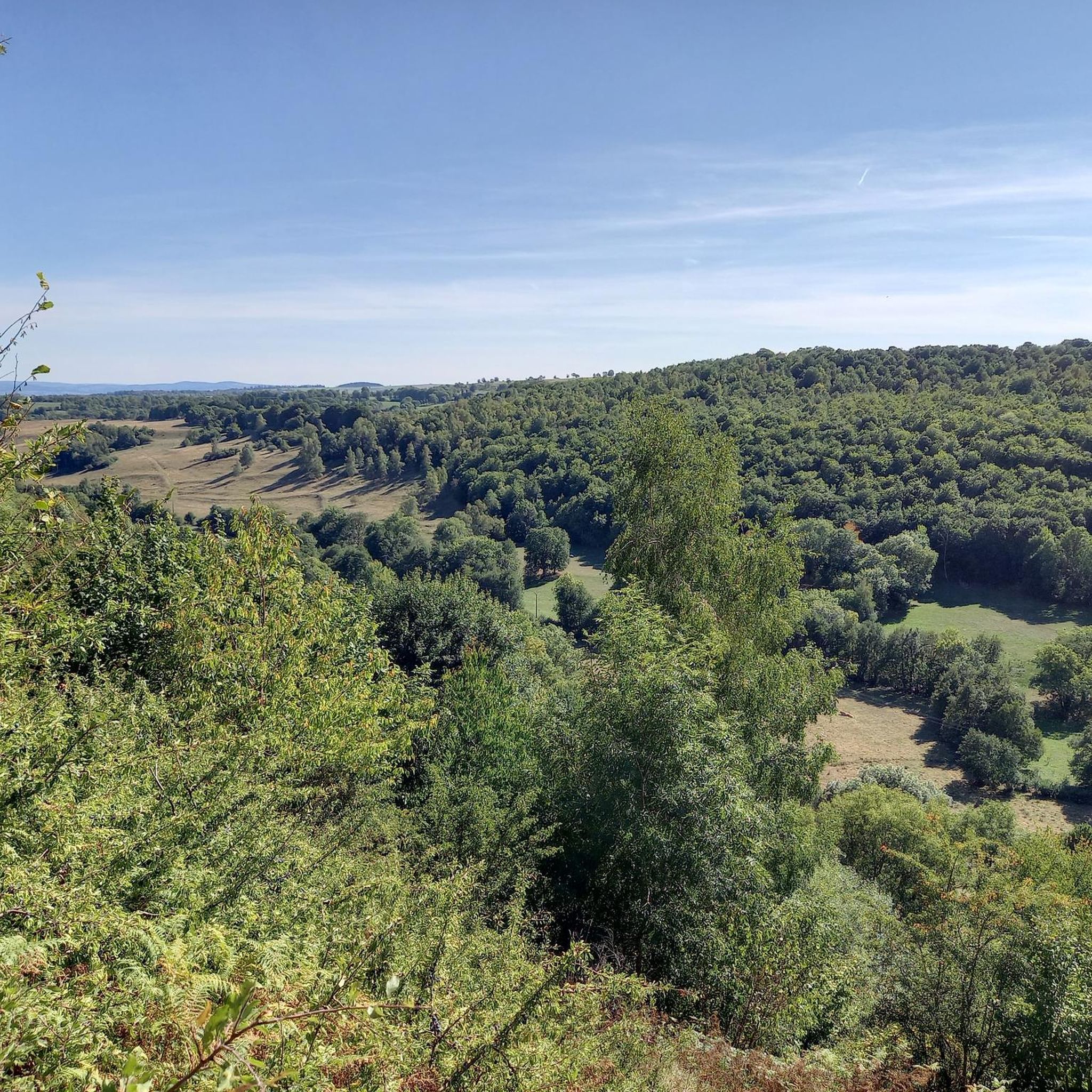
Quite a climb up the valley. There's a bit more of a climb after this pass heading north, though.
0
0

From Sagnette, stay on the D39. This climb is 2.4 kilometers long, with a positive elevation gain of 165 meters. The Col de La Griffoul from La Sagnette has an average gradient of 7%. Afterward, let yourself glide into the magnificent Brezons Valley.
0
0

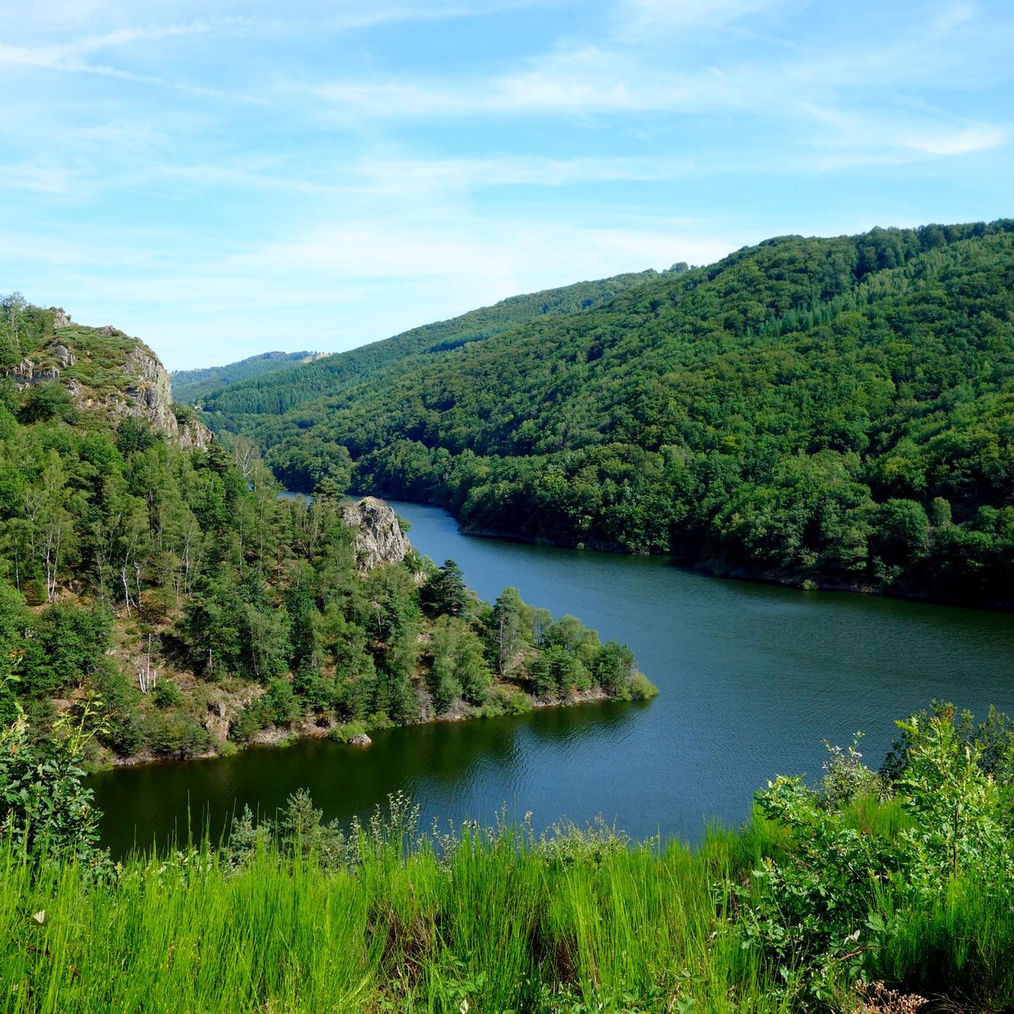
View of the river and the grandiose and wild gorges of Truyère. The site is classified and is among the Natura 2000 areas. The gorges are home to numerous birds of prey including a large population of peregrine falcons.
0
0

Very regular climb without great difficulty start of several gravel trails
0
0

Lovely view of the Truyère which winds through the heart of the green valley. A feast for the eyes !
2
0
One of the biggest dam in Europe which contains more than 1000 hectares of mountain water. A balcony path borders the lake, just after the bridge. A single site!
1
0

Paulhac is a small town of just over 400 inhabitants which is part of the regional natural park of the volcanoes of Auvergne.
0
0
From here there are beautiful views of this river flowing from the Massif Central.
0
0
Frequently Asked Questions
What kind of terrain can I expect on road cycling routes around Sainte-Marie?
Road cycling routes around Sainte-Marie are characterized by significant elevation changes, featuring numerous climbs with gradients typically between 5% and 12%. You'll encounter a hilly or mountainous landscape, often traversing river valleys like those along the Truyère, and mountain passes. This combination provides challenging conditions for experienced road cyclists.
How many road cycling routes are available in the Sainte-Marie area?
There are over 60 road cycling routes available around Sainte-Marie, offering a wide range of options for various ability levels, from moderate to difficult. The komoot community has explored these diverse terrains extensively.
Are there any easier road cycling routes for beginners or those seeking a less strenuous ride?
While many routes in Sainte-Marie are challenging, there is at least one easy route available. The network also includes 32 moderate routes, which might be suitable for riders looking for a less strenuous but still engaging experience compared to the 35 difficult routes.
What are some notable natural features or landmarks I can see along the road cycling routes?
As you cycle around Sainte-Marie, you can encounter several interesting natural features and landmarks. Highlights include the scenic Laussac Peninsula, the picturesque Banks of the Truyère, and a Viewpoint overlooking the Lanau Dam reservoir. You might also pass through charming areas like Paulhac.
Are there any loop road cycling routes in Sainte-Marie?
Yes, many of the road cycling routes around Sainte-Marie are designed as loops, allowing you to start and end at the same point. Examples include the challenging 3-4km climb between 5 and 12%. loop from Espinasse and the Grifoul Pass – Paulhac loop from Pierrefort, which takes you through mountain passes.
What do other road cyclists say about the routes in Sainte-Marie?
The road cycling routes in Sainte-Marie are highly rated by the komoot community, with an average score of 4.7 stars from over 20 reviews. Cyclists often praise the challenging climbs, the scenic river valleys, and the diverse mountain passes that define the region's cycling experience.
What is a good route for experienced riders looking for a significant challenge?
Experienced riders seeking a significant challenge might enjoy the Church of Chaudes-Aigues – Banks of the Truyère loop from Pierrefort. This difficult 41.9-mile (67.5 km) path includes substantial elevation gain and follows scenic river banks, offering a demanding yet rewarding ride.
Are there any routes that offer views of prominent natural landmarks?
Yes, the Col de Prat de Bouc – View of the Plomb du Cantal loop from Pierrefort is a moderate route that offers stunning views, including those of the Plomb du Cantal. This route provides both a good workout and memorable scenery.
What is the best time of year to road cycle in Sainte-Marie?
Given the region's characteristics of challenging climbs and mountain passes, the best time to road cycle in Sainte-Marie is typically during the warmer months, from late spring to early autumn. This avoids potential snow or ice on higher elevations and ensures more pleasant riding conditions.
Are there any routes that specifically follow river banks?
Yes, the Banks of the Truyère loop from Pierrefort is a moderate route that specifically follows the picturesque banks of the Truyère river. This offers a scenic experience with less extreme elevation changes compared to some of the more mountainous routes.
What are the typical distances and elevations for road cycling routes in Sainte-Marie?
Routes in Sainte-Marie vary, but many are substantial. For example, the 3-4km climb between 5 and 12%. loop from Espinasse is 29.6 miles (47.7 km) with nearly 945 meters of elevation gain, while the Church of Chaudes-Aigues – Banks of the Truyère loop from Pierrefort covers 41.9 miles (67.5 km) with almost 1300 meters of ascent. Expect significant climbs on most routes.
Most popular attractions around Sainte-Marie

Get inspired with the komoot mobile app


Explore more
Browse the best Road cycling routes in other regions.
