The best running trails around Corneilla-De-Conflent
4.3
(38)
2,170
runners
183
runs
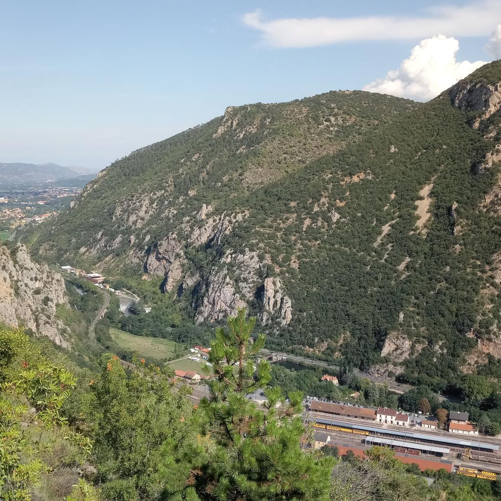
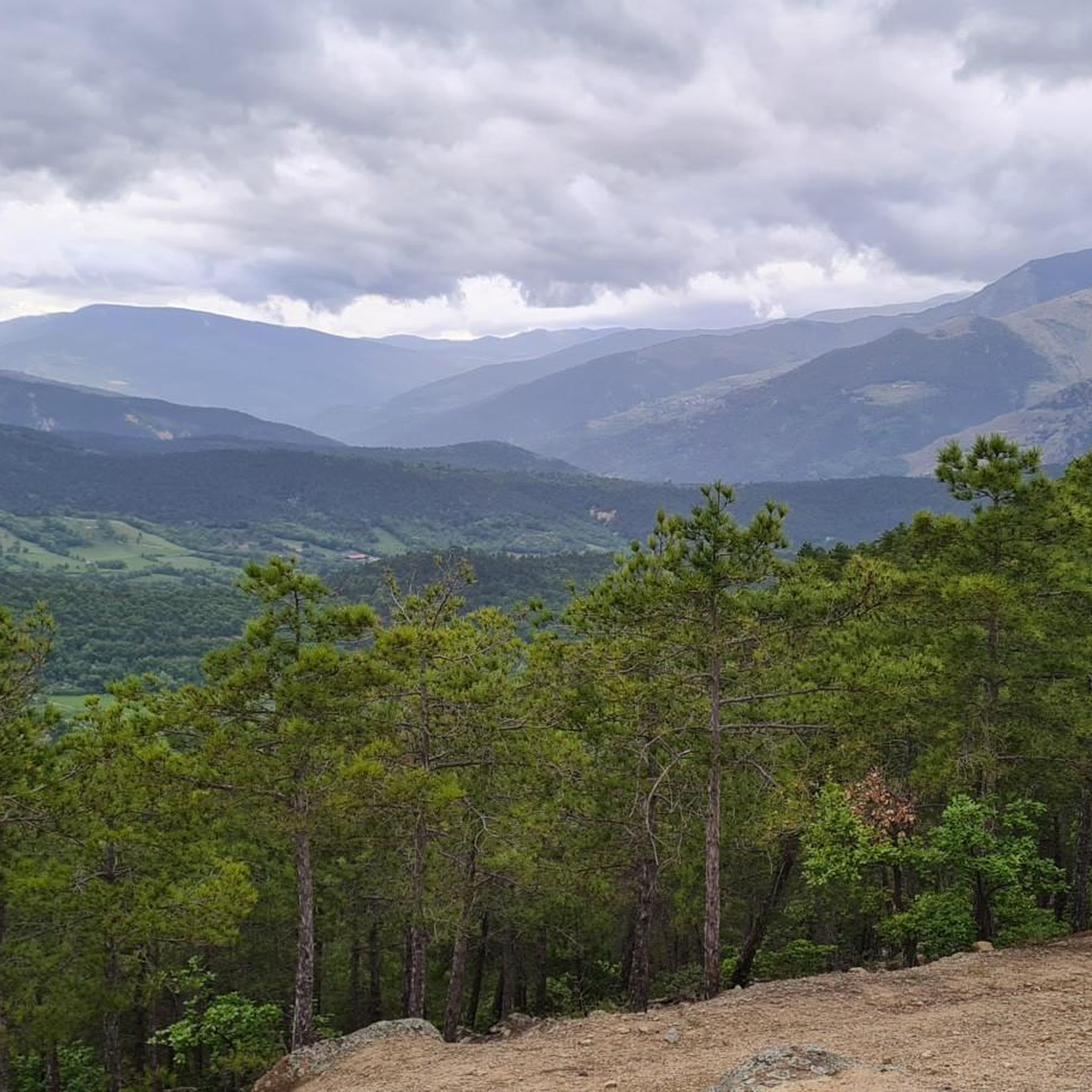
Jogging routes around Corneilla-De-Conflent are set within the Pyrénées-Orientales department, offering diverse terrain for runners. The area is characterized by mountainous routes, scenic valleys, and extensive forests, situated within the Catalan Pyrenees Regional Natural Park. The Cady River flows nearby, contributing to the varied landscape. The region's microclimate and wooded areas provide comfortable conditions for outdoor activities.
Best jogging routes around Corneilla-De-Conflent
- The most popular jogging route is The Estanyol – Canigou loop from Fillols, a 15.8 miles (25.4…
Last updated: July 7, 2026
98
runners
24.0km
03:58
1,570m
1,570m
Hard run. Very good fitness required. Sure-footedness, sturdy shoes and alpine experience required.
5.0
(1)
63
runners
14.7km
02:00
630m
630m
Hard run. Very good fitness required. Mostly paved surfaces. Suitable for all skill levels.

Sign up for free
28
runners
9.75km
01:20
410m
410m
Hard run. Very good fitness required. Mostly accessible paths. Some sure footedness required.
18
runners
15.5km
02:30
1,030m
1,030m
Hard run. Very good fitness required. Mostly paved surfaces. Suitable for all skill levels.
15
runners
Moderate run. Good fitness required. Mostly paved surfaces. Suitable for all skill levels.
Get access to more routes and recommendations from other explorers.
Sign up for free
Already have an account?
Our route recommendations are based on thousands of hikes, rides, and runs completed by other people on komoot.
Start today with a free account
Your next adventure awaits.
Login or Signup

Tips from the Community

You can eat, drink, and refill water there. A beautiful bivouac environment.
0
0

Keep your eyes open, we saw marmots above the refuge!
0
0

Please note: the path is not accessible from September 30 to April 1 (municipal decree in force).
15
0
A very pleasant route in summer thanks to the coolness and the constant presence of the Saint-Vincent River, which flows down from the Conques du Canigó. The atmosphere of these gorges and the roar of the waterfalls will captivate you. Be careful, however, as this steep trail carries risks, including rockfalls.
16
0
This waterfall, named after the Saint Vincent River, offers a lovely pool to cool off after the sweaty climb. But you can also continue for ten minutes to the Cascade des Anglais, which is also very beautiful.
16
0
This ancient trading town, the capital of Conflent, has preserved some beautiful traces of its history and its status as a defensive town. Examples include the ramparts and the Viguerie Tower, built by the Count of Cerdagne in the 11th century and subsequently reinforced by Vauban's fortifications in the 17th century.
0
0

Very friendly refuge. A warm welcome, good food, comfortable and clean rooms, and reasonable rates. Perfect for recharging your batteries during a long hike in the magnificent Canigou massif.
0
0
VIllefranche-de-Conflent is a town with an exceptional heritage: from the Middle Ages to the present day, time has left its mark in the stones of the men who built, conquered or lived in the town. More than anyone, Vauban, the "Sun King's wanderer", has left his mark here.
10
0
Frequently Asked Questions
How many running routes are available around Corneilla-De-Conflent?
There are over 200 running routes documented around Corneilla-De-Conflent on komoot, offering a wide variety of terrain and difficulty levels for joggers.
What types of terrain can I expect on the jogging trails in this region?
The region offers diverse terrain, from challenging mountainous routes on the Canigou massif to scenic valley paths along the Cady River. You'll find extensive forests, dirt roads through rolling green valleys, and trails that pass by natural features like waterfalls and gorges.
Are there any easy or moderate jogging routes for beginners or those seeking a less strenuous run?
While many routes are challenging, there are options for all levels. Approximately 77 moderate routes and 2 easy routes are available. For a moderate option that includes historical interest, consider the Saint-Clément Castle Ruins loop from Vernet-les-Bains, which is about 11.1 km long.
Can I find running routes that feature waterfalls or other natural landmarks?
Yes, the area is rich in natural beauty. You can find routes that pass by stunning features like the Saint-Vincent Waterfall. The Saint-Vincent Waterfall – English Falls loop from Vernet-les-Bains is a challenging 10.2 km route that takes you past this beautiful natural landmark.
What historical or cultural landmarks can I see while jogging in Corneilla-De-Conflent?
Jogging routes in the area can incorporate historical sites. Nearby attractions include the UNESCO World Heritage site of Villefranche-de-Conflent with its fortified village and Fort Libéria. You might also pass by the Abbaye Saint Michel de Cuixa or the Abbaye Saint Martin du Canigou, offering scenic points during your run. For a route featuring ruins, try the Saint-Clément Castle Ruins loop from Vernet-les-Bains.
What do other runners say about the trails in Corneilla-De-Conflent?
The running routes in Corneilla-De-Conflent are highly rated by the komoot community, with an average score of 4.2 stars from over 30 reviews. Nearly 2000 runners have used komoot to explore the varied terrain, often praising the stunning natural landscapes and challenging mountain trails.
Are there any circular running routes available?
Many of the routes in the region are designed as loops, allowing you to start and finish at the same point. For example, the Saint-Vincent Waterfall – English Falls loop from Vernet-les-Bains is a circular route offering beautiful scenery.
What is the best time of year for running in Corneilla-De-Conflent?
The region benefits from a pleasant microclimate and is very wooded, which can protect from prevailing winds. This makes it suitable for outdoor activities for much of the year. However, given the mountainous terrain, spring and autumn generally offer the most comfortable temperatures for running, avoiding the peak heat of summer or potential snow in winter at higher elevations.
Are there any specific events or trail running challenges in the area?
Yes, the region is known for its trail running events. 'The Conflent Trails' is a notable event that highlights the area's suitability for trail running, featuring routes with significant elevation changes. You can find more information about such events on local tourism sites like tourisme-canigo.com.
What kind of natural features or viewpoints can I expect to encounter on the trails?
The trails offer access to spectacular natural features and viewpoints. You can find routes leading to summits like Canigou or Pic de la Pena, offering panoramic views. Other highlights include The Estanyol lake and the Pla Guillem viewpoint.
Are there any refuges or huts along the running routes for breaks or overnight stays?
Yes, some routes pass by or lead to mountain refuges. Notable huts in the area include Cortalets Refuge, Mariailles Refuge, and Refuge de Bonne-Aigue. These can be useful for longer runs or multi-day adventures.
What is the general difficulty level of running routes in Corneilla-De-Conflent?
The majority of running routes in Corneilla-De-Conflent are classified as difficult (123 routes) or moderate (77 routes), reflecting the mountainous nature of the Catalan Pyrenees. There are also a few easy routes (2 routes) for those seeking a gentler experience. Expect significant elevation changes on many trails.
Most popular routes around Corneilla-De-Conflent
Most popular attractions around Corneilla-De-Conflent

Get inspired with the komoot mobile app


Explore more
Browse the best Running Trails & Routes in other regions.
