The best running trails around Lütjenholm
4.6
(92)
1,275
runners
168
runs
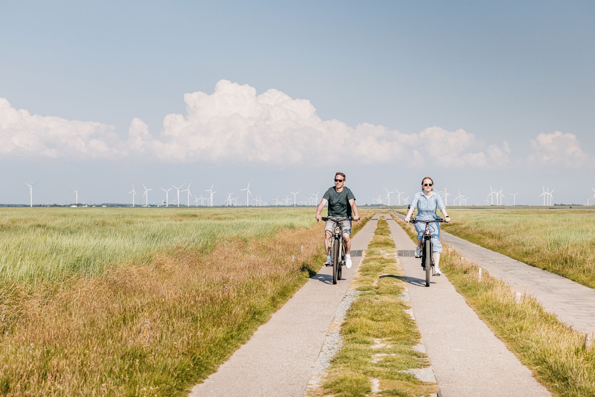
Jogging routes around Lütjenholm offer a diverse landscape for runners in Nordfriesland. The region features expansive sandy beaches, providing natural, low-impact surfaces for running. Inland, idyllic fields and meadows present a network of paths, while the proximity to the Schleswig-Holstein Wadden Sea National Park offers unique coastal running trails. These varied environments make Lütjenholm suitable for different running preferences.
Best jogging routes around Lütjenholm
- The most popular jogging route is Running loop from Langenhorn, a 4.4 miles (7.1 km) trail…
Last updated: June 26, 2026
10
runners
7.06km
00:44
10m
10m
Moderate run. Good fitness required. Mostly paved surfaces. Suitable for all skill levels.
4.0
(2)
13
runners
2.54km
00:16
10m
10m
Easy run. Great for any fitness level. Mostly paved surfaces. Suitable for all skill levels.

Sign up for free
6
runners
6.80km
00:42
10m
10m
Moderate run. Good fitness required. Mostly paved surfaces. Suitable for all skill levels.
6
runners
5.14km
00:35
30m
30m
Moderate run. Good fitness required. Mostly paved surfaces. Suitable for all skill levels.
5.0
(1)
6
runners
17.6km
01:52
40m
40m
Hard run. Very good fitness required. Mostly paved surfaces. Suitable for all skill levels.
Get access to more routes and recommendations from other explorers.
Sign up for free
Already have an account?
Our route recommendations are based on thousands of hikes, rides, and runs completed by other people on komoot.
Start today with a free account
Your next adventure awaits.
Login or Signup
Other adventures around Lütjenholm

Tips from the Community

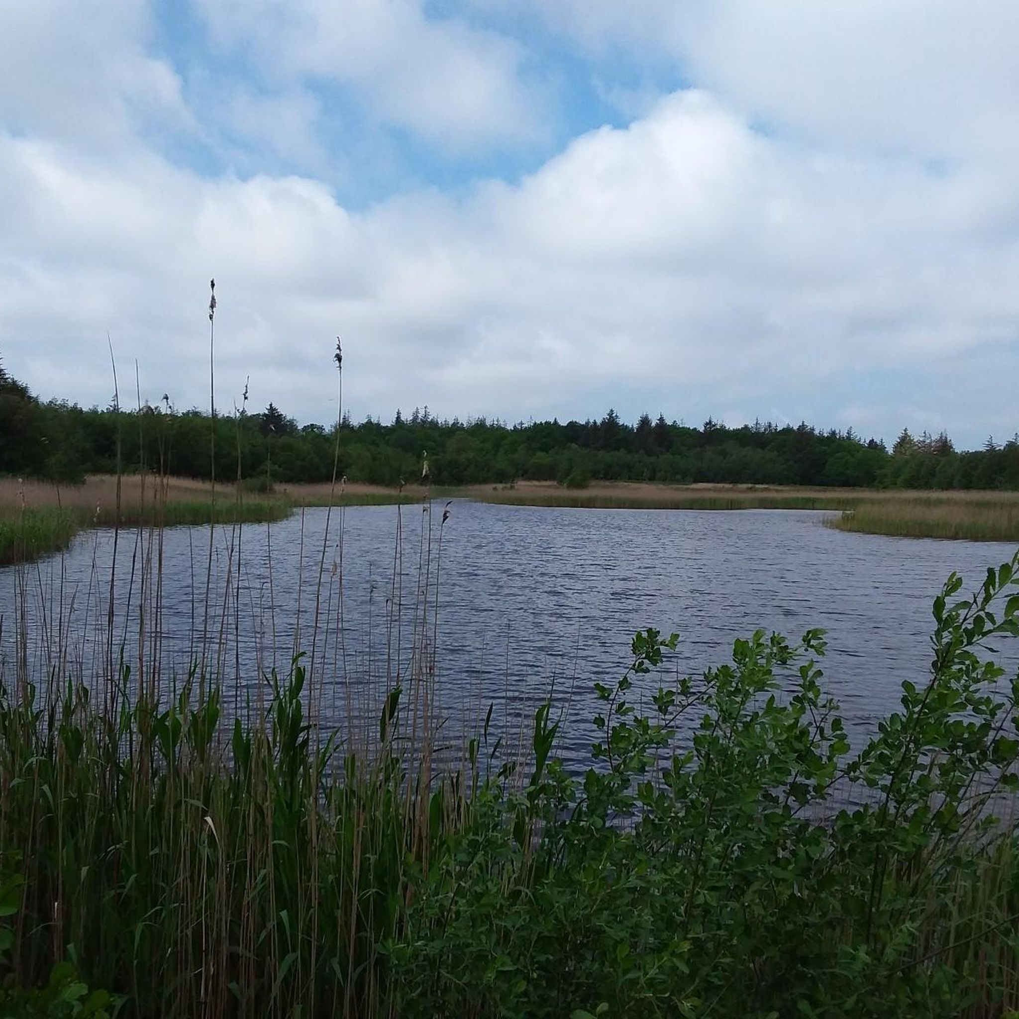
A nice corner to take a break. It looks a bit like the Lüneburg Heath. A nice corner.
0
0

Beautiful place on the Ochsenweg!
0
1

The Rantzauhöhe is the third-highest elevation in the North Frisia district. It is located in the Langenberg Forest and is 45 m high. The Langenberg Forest is located in the municipalities of Enge-Sande, Leck, and Stadum. The Langenberg and the Rantzauhöhe also have a cultural-historical function, as they once separated the Danish and North Frisian settlement areas in western Southern Schleswig. The name Rantzauhöhe comes from the Danish ransel, meaning "backpack," which was later reinterpreted in German as "Rantzaul." A burial mound is said to have once stood on the Warkshöhe, the highest point of the Langenberg. A stone bearing an inscription, possibly runic, was allegedly found on another nearby elevation of the Langenberg. Legend of the origin of the Langenberg: Once upon a time, a giant traveled north from Dithmarschen across the Eider River to help build a church in Ripen. As he walked through the sands of the Goesharde, his wooden shoes filled with sand. He sat down north of the Soholmer Au and poured out the sand. This resulted in the two highest peaks of the Langenberg: Ranselsberg and Werkshug. https://de.wikipedia.org/wiki/Rantzauh%C3%B6he By R2D3LA - Own work, CC BY-SA 4.0, https://commons.wikimedia.org/w/index.php?curid=108383965
2
1
Rugeranzel, Petersburg. A nice spot at the edge of the forest to take a break. The green area invites you to play badminton or other sports.
0
0
Langenberger Forst hiking and recreation area The diverse network of forest paths with signposted hiking trails in the approx. 1,000-hectare Langenberger Forest invites you to do sports or take a relaxing walk. The fish ponds, the Ochsenweg and the Rantzauhöhe are just a few of the worthwhile destinations. It is possible to find out about the natural connections and cultural traces on site. The Langenberger Forest has numerous information and orientation boards, and free leaflets with the network of hiking trails are also available to visitors. Further information at www.ochsenweg.de
0
0

Here you can take a short break, But the trail here is not for bikes with narrow tires
0
0

On the Ochsenweg with a refuge in bad weather.
0
0
The run THE DEVILS LOOP - Langenberg Ultra Marathon. A 6.75km long circuit on forest / forest roads. Saturday 1st May 2021 - 8:00 a.m. start to open end www.devils-loop.de
2
0
Frequently Asked Questions
How many running routes are available around Lütjenholm?
Lütjenholm offers a wide selection of running routes, with over 170 options recorded on komoot. These routes cater to various preferences, ranging from easy loops through fields to more challenging distances along the coast.
Are there running routes suitable for beginners in Lütjenholm?
Yes, Lütjenholm is very welcoming for beginners. There are 33 easy running routes, many of which are relatively flat, traversing idyllic fields and meadows. The Running loop from Sönnebüll is a great option, being an easy 2.5 km path perfect for a quick run through the local countryside.
What kind of terrain can I expect on jogging trails in Lütjenholm?
Jogging trails in Lütjenholm offer diverse terrain. You'll find expansive sandy beaches that provide a natural, low-impact surface, as well as networks of paths through idyllic fields and meadows. The proximity to the Schleswig-Holstein Wadden Sea National Park also means unique coastal landscapes, including dunes and salt marshes, offering varied environments for your run.
Are there any family-friendly running routes in Lütjenholm?
Many of the easier routes through the fields and meadows are suitable for families. These paths often have gentle gradients and offer a pleasant experience for all ages. Consider routes that are shorter in distance and have minimal elevation gain for a comfortable family outing.
Can I bring my dog on the running trails in Lütjenholm?
Yes, many running trails in Lütjenholm are dog-friendly, especially those through the open fields and along the beaches. However, it's always advisable to keep your dog on a leash, especially in nature reserve areas like the Schleswig-Holstein Wadden Sea National Park, to protect wildlife and ensure a pleasant experience for everyone.
What are some scenic viewpoints or landmarks I can see while jogging?
While jogging in Lütjenholm, you can enjoy open vistas across fields and meadows, and refreshing views of the North Sea coast. For specific points of interest, consider exploring areas near the Mühlenteich Bredstedt or the Historic Water Mill Lindewitt, which offer picturesque surroundings. The region also features the Historic Ochsenweg Trail, providing a glimpse into local history.
Are there any circular running routes in the Lütjenholm area?
Yes, many of the running routes around Lütjenholm are designed as circular loops, making them convenient for starting and ending at the same point. Examples include the popular Running loop from Langenhorn and the Running loop from Stadum, both offering pleasant circuits through the local landscape.
What is the best time of year to go jogging in Lütjenholm?
Lütjenholm offers enjoyable jogging conditions throughout much of the year. Spring and summer provide pleasant temperatures and lush green landscapes. Autumn brings beautiful colors to the fields, while winter can offer invigorating runs along the coast, especially on firm sand near the water's edge. The refreshing sea air is a constant appeal.
Are there longer, more challenging running routes available?
Yes, for those seeking a greater challenge, Lütjenholm also has more difficult routes. For instance, the Wooden house with insect island loop from Stadum is a demanding 17.5 km route that takes over an hour and a half to complete, offering a more extensive workout.
What do other runners enjoy most about jogging in Lütjenholm?
The running routes in Lütjenholm are highly rated by the komoot community, with an average score of 4.6 stars from over 80 reviews. Runners often praise the diverse landscapes, from the expansive sandy beaches to the tranquil fields and meadows, and the refreshing sea air. The variety of routes, suitable for different ability levels, is also frequently highlighted.
Are there options for parking near the running trails?
Many running routes in Lütjenholm start from villages or accessible points where parking is generally available. It's common to find parking near trailheads or in local village centers, especially for routes like the Running loop from Enge-Sande. Always check local signage for specific parking regulations.
Can I access running routes in Lütjenholm using public transport?
While Lütjenholm is a rural area, some routes may be accessible via local bus services connecting to nearby towns. For specific routes, it's recommended to check local public transport schedules and stops in relation to your chosen starting point. Planning your route in advance can help identify the most convenient access points.
Most popular attractions around Lütjenholm

Get inspired with the komoot mobile app


Explore more
Browse the best Running Trails & Routes in other regions.
