The best walks and hikes around Montmurat
4.4
(91)
487
hikers
44
hikes
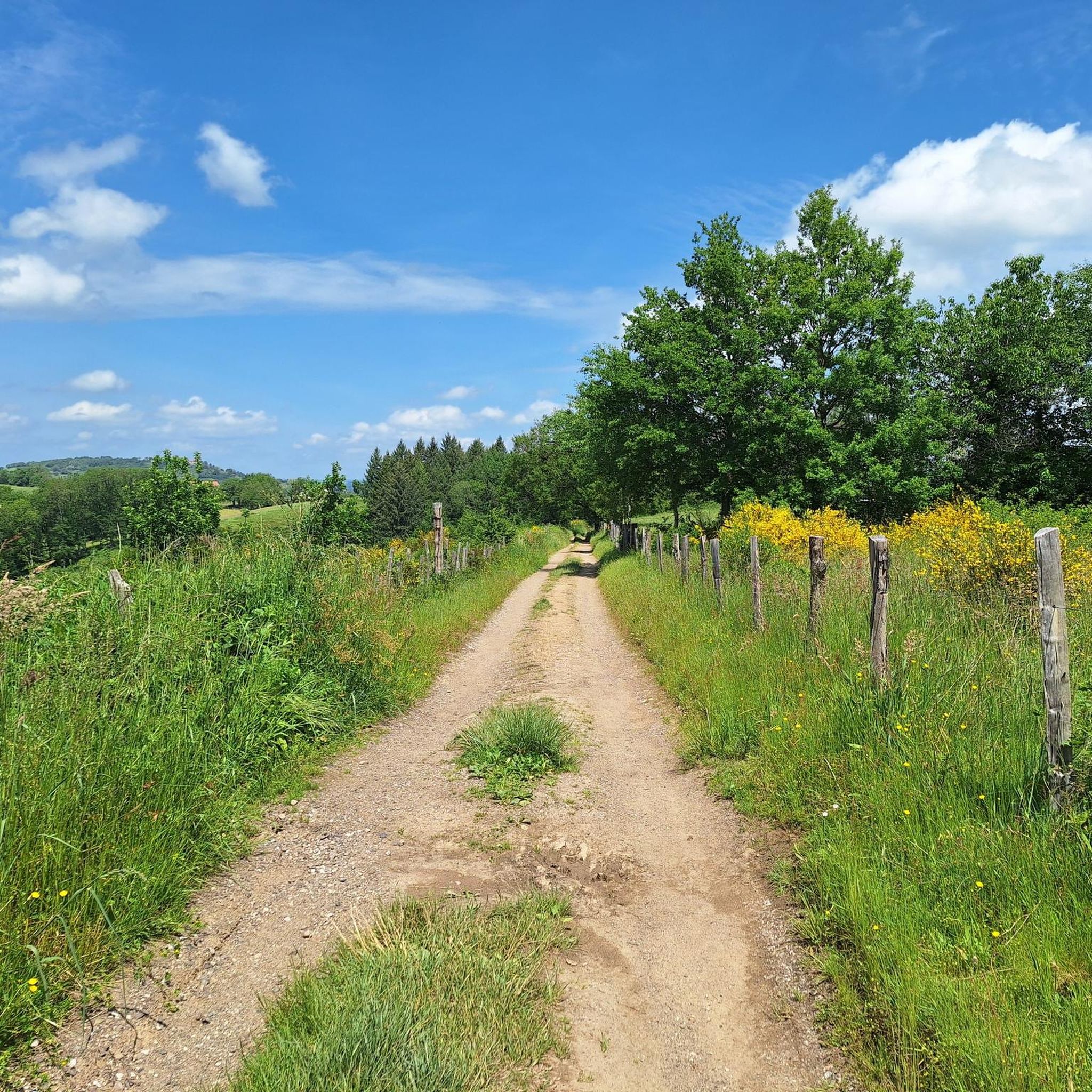
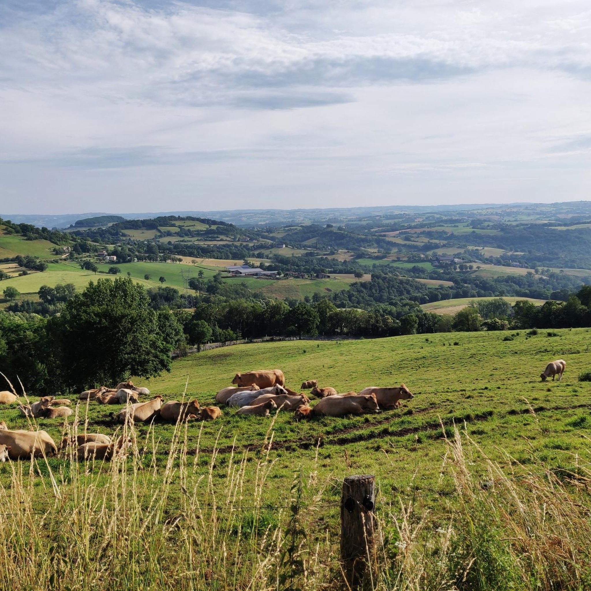
Hiking around Montmurat offers exploration of a region characterized by its limestone promontory, providing expansive views over the Lot and Célé valleys. The area features varied terrain, including hills and plateaus, with southern climatic influences supporting unique flora like boxwood and wild asparagus. Its elevated position allows for distant views of the Aubrac plateau and Cantal mountains, defining a diverse natural environment for outdoor activities.
Best hiking trails around Montmurat
- The most popular hiking route is Three Bishops' Cross –…
Last updated: May 18, 2026
5.0
(7)
48
hikers
24.9km
07:14
660m
660m
Hard hike. Very good fitness required. Easily-accessible paths. Suitable for all skill levels.
5.0
(2)
27
hikers
8.32km
02:16
130m
120m
Moderate hike. Good fitness required. Easily-accessible paths. Suitable for all skill levels.

Sign up for free
4.3
(3)
11
hikers
7.84km
02:19
230m
230m
Moderate hike. Good fitness required. Easily-accessible paths. Suitable for all skill levels.
5.0
(1)
14
hikers
Hard hike. Very good fitness required. Easily-accessible paths. Suitable for all skill levels.
4.3
(3)
11
hikers
13.0km
03:40
270m
270m
Moderate hike. Good fitness required. Easily-accessible paths. Suitable for all skill levels.
Get access to more routes and recommendations from other explorers.
Sign up for free
Already have an account?
Our route recommendations are based on thousands of hikes, rides, and runs completed by other people on komoot.
Start today with a free account
Your next adventure awaits.
Login or Signup


Tips from the Community

at the same time a nice shady resting place
0
0
On the pilgrimage route you automatically pass
0
0

Livinhac is known primarily for its agricultural produce. One dish that is now offered again in the restaurants here is estofinado. This is made from dried cod, which is chopped and mixed with mashed potatoes. Eggs, cream, and nut oil are added. Don't miss it!
0
0
The Château de Gironde near Saint Parthem lies high above the picturesque Lot Valley. Since the 15th century, it has belonged to the Bertrand family, from which the Bertrand de Crozefon family descends. The castle is not open to the public.
0
0
The stage is about 26 km long. Halfway along the route, in Guirande, there is a chapel that is worth visiting, especially because of the 14th century wall paintings.
0
1

Memorial to a rider of the Tour de France ...
2
0
The small church dates from the 11th century. It is dedicated to Radegonde de Poitiers, who was born in Thuringia in the 6th century and died in Poitiers as Queen of the Franks in 587. The church has been classified as a monument historique since 1912.
0
1
A 20 km long section of the Way of St. James, Via Podiensis, runs through the municipality from Montredon to Figeac. Don't miss the Romanesque church of Saint-Jean, a monument historique since 1972.
1
1
Frequently Asked Questions
How many hiking trails are available around Montmurat?
There are over 40 hiking routes around Montmurat, offering a diverse range of options from easy walks to more challenging long-distance trails. The komoot community has explored these routes over 400 times, highlighting the area's popularity among hikers.
What are the typical difficulty levels of hikes in Montmurat?
Montmurat offers a variety of trails suitable for different fitness levels. You'll find approximately 9 easy routes, 30 moderate routes, and 6 difficult routes, ensuring there's something for everyone, from casual walkers to experienced trekkers.
What kind of natural landscapes can I expect to see while hiking in Montmurat?
Hiking in Montmurat offers stunning views over the Lot and Célé valleys, the rugged Aubrac plateau, and the green hills of Aveyron. The region is characterized by its limestone relief and unique southern climatic influences, which support an extraordinary flora including lily of the valley, boxwood, wild asparagus, grapevines, and orchids. On clear days, you might even spot the majestic Cantal mountains and Auvergne volcanoes in the distance.
Are there any circular hiking routes in Montmurat?
Yes, many of the trails around Montmurat are circular, allowing you to start and end your hike in the same location. For example, the Enchanted town hall square loop from Montmurat is a moderate 7.8 km route that offers a great experience.
What historical landmarks or points of interest can I discover on the trails?
The region is rich in history. You can visit the Three Bishops' Cross, a historical landmark marking the meeting point of three ancient provinces. The village of Montmurat itself, perched on a promontory, features old stone houses and a 13th-century chapel. A path around the Sainte-Marie church also offers stunning panoramic views.
What do other hikers say about the trails in Montmurat?
The trails in Montmurat are highly rated by the komoot community, with an average score of 4.4 stars from over 80 reviews. Hikers often praise the diverse terrain, the breathtaking panoramic views, and the unique natural features of the area.
Are there any family-friendly hiking options in Montmurat?
While specific 'family-friendly' designations aren't always explicit, Montmurat does offer several easy and moderate routes that are suitable for families. These trails allow for botanical exploration and discovery of charming hamlets, providing an enjoyable experience for all ages.
What is the best time of year to go hiking in Montmurat?
Montmurat experiences southern climatic influences, making spring and autumn particularly pleasant for hiking when the unique flora is vibrant and the temperatures are mild. The presence of cicadas suggests warm, sunny summers are also popular, though winter hiking is also possible for those who enjoy cooler conditions.
Where can I find the best panoramic views during a hike?
Montmurat is renowned for its panoramic views. The village itself, built on a limestone promontory, offers expansive vistas over the Lot and Célé valleys. The 'Chemin des Causses' trail, starting from the village square, provides a remarkable 360-degree panorama of the Lot, Aveyron, and Cantal regions from a plateau along its route.
Is there parking available near the hiking trailheads in Montmurat?
While specific parking locations for every trailhead are not detailed, Montmurat is a small commune, and parking is generally available within or near the village center, which serves as a starting point for several routes, including 'Le Chemin des Causses'.
Can I bring my dog on the hiking trails in Montmurat?
The trails around Montmurat are generally welcoming to dogs, though it's always recommended to keep them on a leash, especially when passing through agricultural areas or near livestock. Always respect local signage regarding pet regulations.
Are there any long-distance or challenging hikes in the area?
Yes, for those seeking a challenge, Montmurat offers several difficult routes. An example is the Three Bishops' Cross – Metal cross loop from Boisse-Penchot, a demanding 24.9 km trail that takes approximately 7 hours to complete and explores the historic landmark.
Most popular attractions around Montmurat

Get inspired with the komoot mobile app


Explore more
Browse the best Hikes in other regions.
