The best running trails around Montcombroux-Les-Mines
4.4
(5)
66
runners
27
runs
Jogging around Montcombroux-Les-Mines offers diverse natural landscapes within the southeast of France's Allier department. The region is characterized by varied topography, with altitudes ranging from 281 meters to 414 meters, providing both inclines and descents. This undulating terrain ensures that running routes are not monotonous, often traversing rural countryside and connecting to established trails. The area's integration with the GR 3 long-distance path provides well-maintained routes suitable for extended runs.
Best jogging routes around Montcombroux-Les-Mines
- The most popular jogging route…
Last updated: May 20, 2026
6
runners
6.46km
00:44
170m
170m
Moderate run. Good fitness required. Mostly paved surfaces. Suitable for all skill levels.
7
runners
10.8km
01:11
110m
110m
Moderate run. Good fitness required. Mostly paved surfaces. Suitable for all skill levels.

Sign up for free
5
runners
11.7km
01:19
90m
90m
Moderate run. Good fitness required. Mostly paved surfaces. Suitable for all skill levels.
5
runners
12.2km
01:22
220m
220m
Moderate run. Good fitness required. Mostly paved surfaces. Suitable for all skill levels.
5
runners
12.9km
01:22
160m
160m
Moderate run. Good fitness required. Mostly paved surfaces. Suitable for all skill levels.
Get access to more routes and recommendations from other explorers.
Sign up for free
Already have an account?
Our route recommendations are based on thousands of hikes, rides, and runs completed by other people on komoot.
Start today with a free account
Your next adventure awaits.
Login or Signup

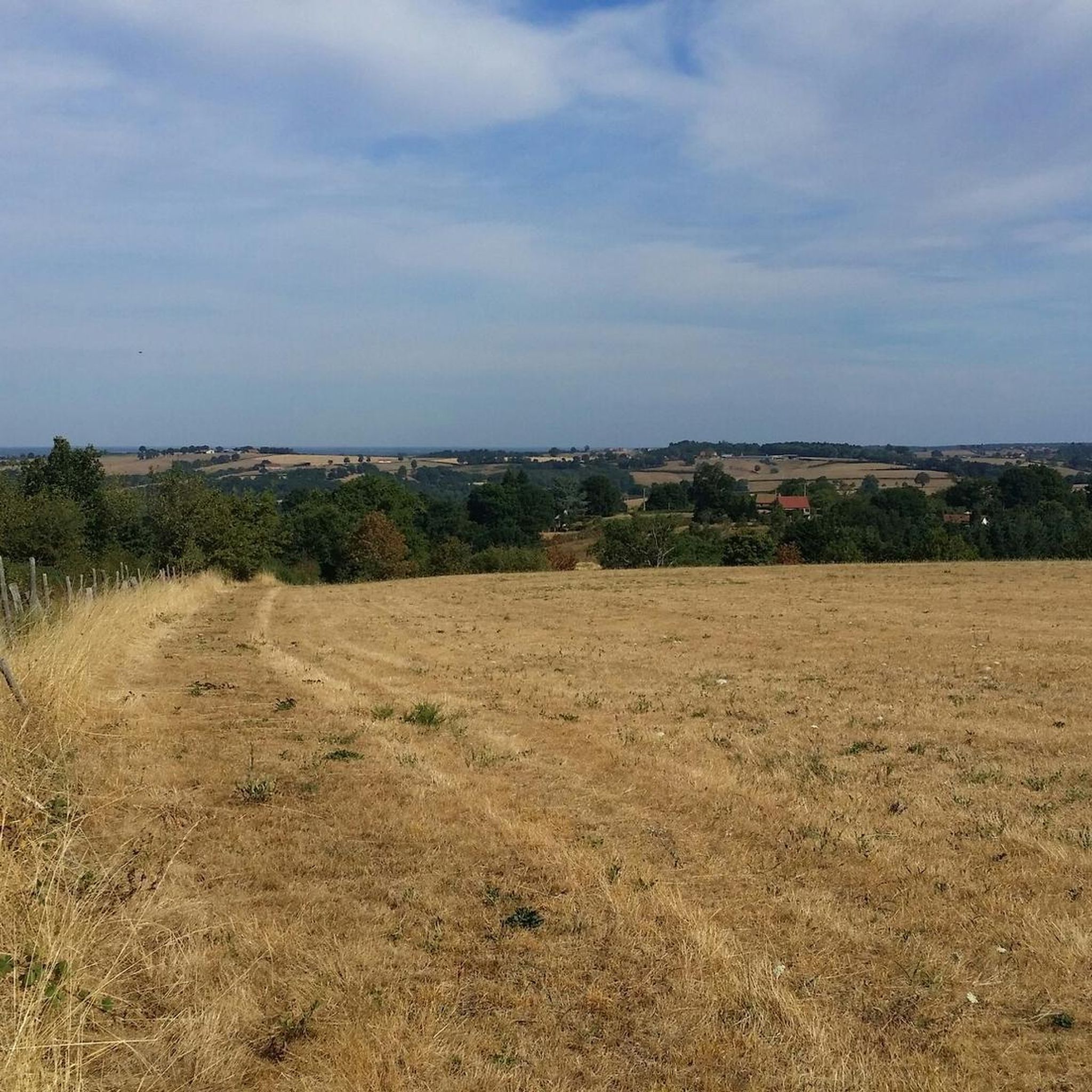

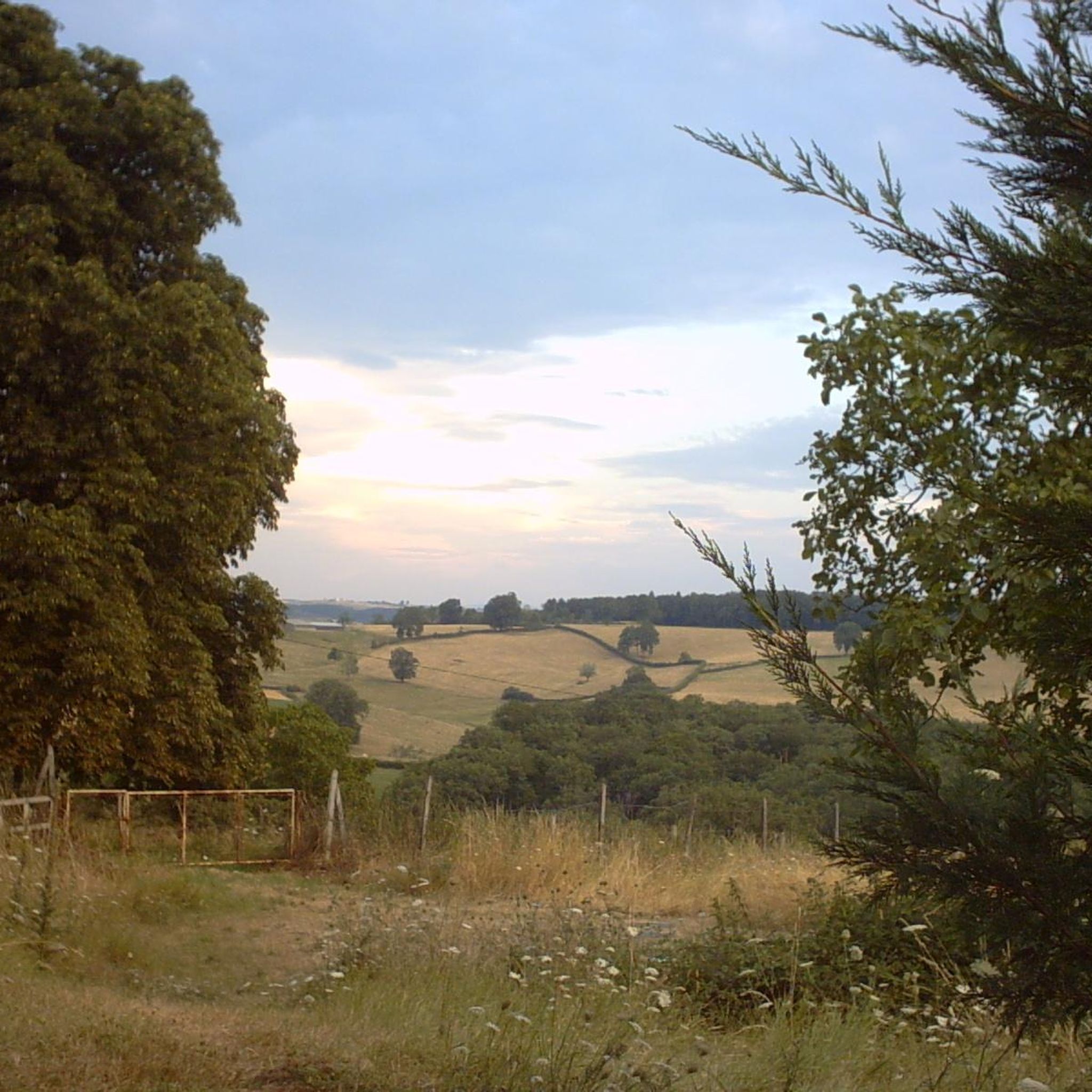
Tips from the Community

Bathed by the Rock, the small town of Bert is a pleasant place to pass on the GR 3. A campsite as well as several food shops are open there.
0
0

This medieval castle is located on the banks of the Besbre. The castle dates from the 10th century and belonged to the noble family of Amboise, who also owned the famous Chateau de Chaumont in the Loire Valley. You can admire the architecture of the castle, which includes two round towers, a fortified gate and a courtyard with polygonal turrets. You can also discover the remains of an old French garden with a central pond. The castle is privately owned and not open to the public, but you can enjoy the view from the outside and take some great photos. Jaligny-sur-Besbre Castle is a hidden gem that will make you feel like you've stepped back in time.
2
0

It is one of the oldest towns in Bourbonnais. It would have been founded in the year 67 and owes its fame to an important fortified castle whose various lords played a fairly active role in history from the 12th century.
0
0

Former castle of Bourbonnais, the castle of Chavroches, which is private, is built on a hill overlooking a small pond. You can see his dungeon from afar.
1
0
Private castle belonging to the Montlaur family, dating from the 14th century and listed as a Historic Monument. Very beautiful French garden.
1
0
Frequently Asked Questions
How many running routes are available in Montcombroux-les-Mines?
There are over 25 running routes available around Montcombroux-les-Mines, offering a variety of distances and difficulty levels for joggers.
What kind of terrain can I expect on the jogging trails in Montcombroux-les-Mines?
The region features a varied topography, with altitudes ranging from 281 meters to 414 meters. This means you can expect an undulating landscape with both inclines and descents, providing a natural challenge and diverse views. Routes often traverse rural countryside and connect to established trails, including sections of the GR 3 long-distance path.
Are there routes suitable for beginners or those looking for an easy run?
Yes, while most routes are moderate, there is at least one easy running route available. The diverse terrain ensures options for various fitness levels, from gentle countryside paths to more challenging ascents.
What do other runners say about the trails in Montcombroux-les-Mines?
The running routes in Montcombroux-les-Mines are highly rated by the komoot community, with an average score of 4.3 stars from more than 5 reviews. Over 50 runners have used komoot to explore the area, often praising the varied terrain and peaceful rural environment.
Are there any circular running routes in the area?
Yes, many of the running routes in Montcombroux-les-Mines are circular. For example, the popular Running loop from Boutier is a moderate 4.0-mile (6.5 km) loop, and the Jaligny Castle – Jaligny Castle loop from Jaligny-sur-Besbre offers a scenic 3.5-mile (5.7 km) circular path.
Are there any long-distance running options or challenging trails?
For those seeking a longer or more challenging run, the region offers routes like the Château de Chavroches loop from Trézelles, which is a difficult 10.1-mile (16.3 km) trail. Additionally, the GR 3 long-distance path traverses the commune, providing well-maintained sections ideal for extended runs.
What are some scenic points or attractions I might see while running?
While running, you might encounter historical points of interest, especially on routes like the Jaligny Castle – Jaligny Castle loop from Jaligny-sur-Besbre. The region is also home to natural features like Puy Saint-Ambroise, a 437-meter summit offering panoramic views, which can be a rewarding destination for a challenging run or hike.
Are there any specific landmarks or places of interest near the running routes?
Yes, the area features several points of interest. You can find Jaligny Castle and Château de Châtelperron, both offering historical insights. The commune itself, Montcombroux-les-Mines, is also a notable highlight.
What is the average length and duration of running routes in Montcombroux-les-Mines?
The routes vary significantly in length and duration. For instance, a moderate run like the Running loop from Boutier is about 4.0 miles (6.5 km) and takes around 44 minutes. Longer, more difficult trails can extend to over 10 miles (16 km) and take more than 1 hour 40 minutes.
Is Montcombroux-les-Mines a good place for trail running?
Absolutely. The diverse natural landscapes, varied topography with inclines and descents, and access to established trails like the GR 3 make Montcombroux-les-Mines an excellent destination for trail running. The rural environment ensures a peaceful experience away from urban congestion.
Are there any routes that offer significant elevation gain for a challenging workout?
Yes, many routes in the region offer good elevation gain. For example, the Bert loop from Bert features over 220 meters of elevation gain over its 7.6-mile (12.2 km) distance, providing a solid workout for runners.
Most popular routes around Montcombroux-Les-Mines
Most popular attractions around Montcombroux-Les-Mines

Get inspired with the komoot mobile app


Explore more
Browse the best Running Trails & Routes in other regions.
