The best walks and hikes around Blénod-Lès-Toul
4.4
(191)
1,037
hikers
86
hikes
Hiking around Blénod-Lès-Toul offers varied terrain characterized by rolling hills and a mix of woodlands and open countryside. The region features moderate elevation changes, making it suitable for a range of hiking experiences. Trails often traverse through local forests and past natural features, providing diverse landscapes for exploration.
Best hiking trails around Blénod-Lès-Toul
- The most popular hiking route is Deuille de Crézilles loop from Crézilles, a 7.8 miles (12.5 km) trail that takes 3 hours 19 minutes to complete,…
Last updated: August 29, 2026
4.7
(3)
22
hikers
12.5km
03:19
120m
120m
Moderate hike. Good fitness required. Easily-accessible paths. Suitable for all skill levels.
4.0
(1)
9
hikers
13.7km
03:46
220m
220m
Moderate hike. Good fitness required. Easily-accessible paths. Suitable for all skill levels.

Sign up for free
4.3
(3)
7
hikers
6.74km
01:50
100m
100m
Easy hike. Great for any fitness level. Easily-accessible paths. Suitable for all skill levels.
3
hikers
22.4km
06:15
430m
430m
Hard hike. Very good fitness required. Easily-accessible paths. Suitable for all skill levels.
6
hikers
7.83km
02:04
70m
70m
Moderate hike. Good fitness required. Easily-accessible paths. Suitable for all skill levels.
Get access to more routes and recommendations from other explorers.
Sign up for free
Already have an account?
Our route recommendations are based on thousands of hikes, rides, and runs completed by other people on komoot.
Start today with a free account
Your next adventure awaits.
Login or Signup
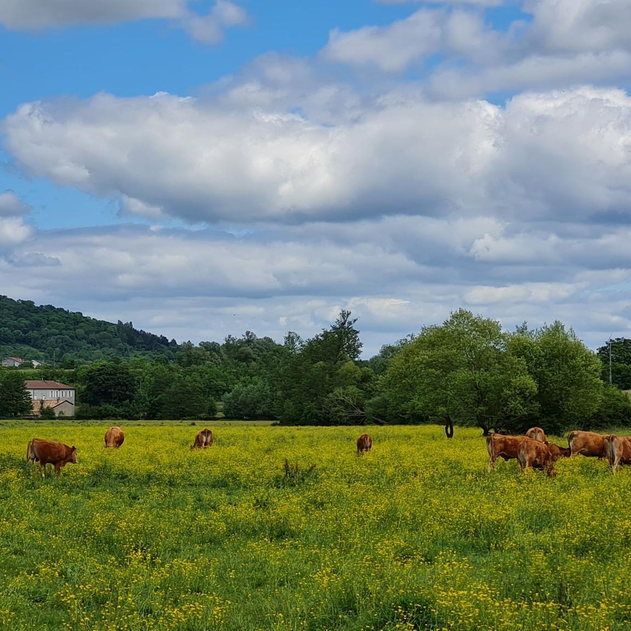
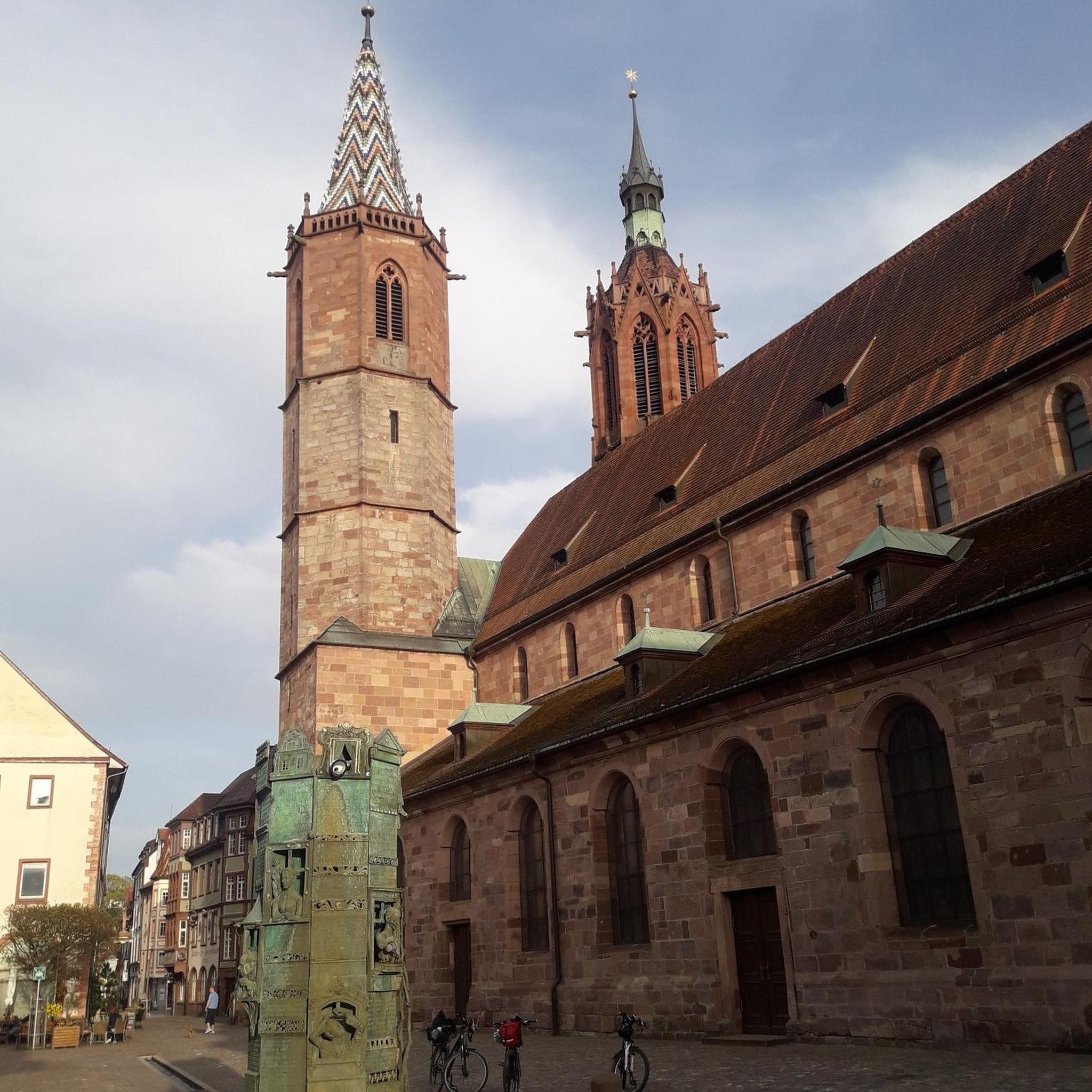
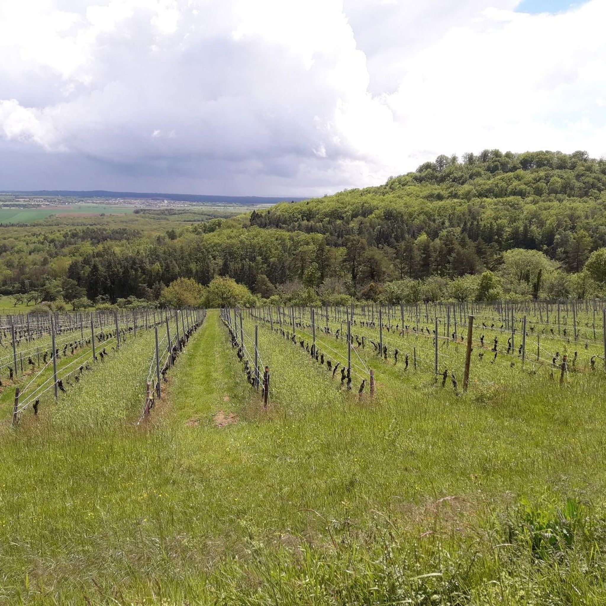
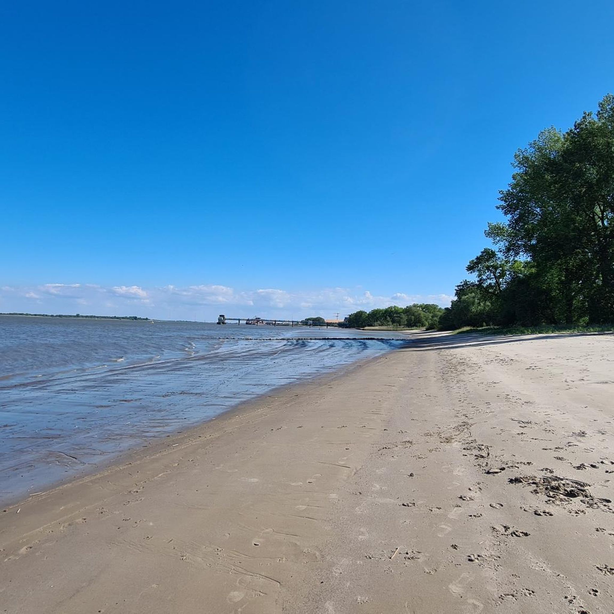

Tips from the Community


The railway no longer exists, the locomotives have been distributed throughout the region, and the rails are being dismantled.
0
0

Little used path to Saint Jacques on the route to Santiago
5
0

It is the center of Choloy-Ménillot. Here you find the town hall to obtain the pilgrimage stamp on the road to Saint Jacques de Compostelle.
4
0
The road to Saint Jacques de Compostela towards the town of Choloy-Ménillot towards the town of Chalaines.
4
0
Choloy-Ménillot is a small town on the road to Saint Jacques de Compostela.
4
0
Frequently Asked Questions
How many hiking trails are there in Blénod-Lès-Toul?
There are over 80 hiking trails around Blénod-Lès-Toul, offering a wide variety of experiences from easy strolls to more challenging routes. The region is known for its rolling hills, woodlands, and open countryside.
Are there easy hikes suitable for beginners in Blénod-Lès-Toul?
Yes, Blénod-Lès-Toul offers many easy hikes. For a pleasant and accessible option, consider the Le Gros Chêne loop from Bulligny, which is an easy 3.9-mile (6.3 km) trail through forests and fields.
What are some longer distance hiking options in the area?
For those looking for a longer adventure, the Sentier des Bornes – Deuil Spring, Ochey loop from Bicqueley is a moderate 8.9-mile (14.2 km) path winding through varied landscapes with natural springs. Another good option is the Le Gros Chêne loop from Allamps, a moderate 8.5-mile (13.7 km) route.
Are there any circular walks available in Blénod-Lès-Toul?
Yes, many of the trails in the region are circular, allowing you to start and end at the same point. A popular circular route is the Deuille de Crézilles loop from Crézilles, which is 7.8 miles (12.5 km) and explores local woodlands and countryside.
What can I see along the hiking trails in Blénod-Lès-Toul?
Beyond the natural beauty of woodlands and open fields, you can discover interesting landmarks. Consider visiting the historic Saint Stephen's Cathedral in Toul or the impressive Fort de Villey-le-Sec, both of which are accessible from various routes in the area.
Are the hiking trails in Blénod-Lès-Toul suitable for families with children?
Yes, Blénod-Lès-Toul offers several family-friendly trails. The region's moderate elevation changes and varied terrain, including woodlands and open countryside, provide engaging environments for children. Look for shorter, easier loops that allow for breaks and exploration.
Can I bring my dog on the hiking trails in Blénod-Lès-Toul?
Most trails in the Blénod-Lès-Toul area are dog-friendly, but it's always recommended to keep your dog on a leash, especially when passing through agricultural areas or near wildlife. Be sure to carry water for your pet and clean up after them.
What is the best time of year to go hiking in Blénod-Lès-Toul?
Spring and autumn are generally the best times for hiking in Blénod-Lès-Toul. In spring, the woodlands burst with new growth, while autumn offers beautiful foliage. Summer can be pleasant, but be prepared for warmer temperatures. Winter hiking is also possible, though some paths might be muddy or require appropriate gear.
What do other hikers enjoy the most about hiking in Blénod-Lès-Toul?
The hiking experience around Blénod-Lès-Toul is highly rated by the komoot community, with an average score of 4.5 stars from over 130 reviews. Hikers often praise the diverse landscapes, including quiet woodlands and open fields, and the well-maintained paths that offer a good mix of easy and moderate challenges.
Is there public transport available to access hiking trails in Blénod-Lès-Toul?
While public transport options directly to every trailhead might be limited, Blénod-Lès-Toul is generally accessible by regional bus services. It's advisable to check local transport schedules in advance and plan your route accordingly, as some trailheads may require a short walk from the nearest stop.
Where can I find parking for hiking trails in Blénod-Lès-Toul?
Many trailheads in and around Blénod-Lès-Toul, particularly those starting from villages like Crézilles, Bicqueley, or Bulligny, offer designated parking areas. If no specific parking is indicated, look for public parking in the nearest village, ensuring you do not obstruct local access or private property.
Are there any trails that pass by natural springs or water features?
Yes, the region features natural springs. The Deuil Spring, Ochey – Tour de pierre la treiche loop from Bicqueley is a moderate 8.5-mile (13.6 km) route that specifically highlights the Deuil Spring, offering a chance to experience these natural water features.
Most popular routes around Blénod-Lès-Toul
Most popular attractions around Blénod-Lès-Toul

Get inspired with the komoot mobile app


Explore more
Browse the best Hikes in other regions.
