The best running trails around Bulligny
4.8
(12)
691
runners
71
runs
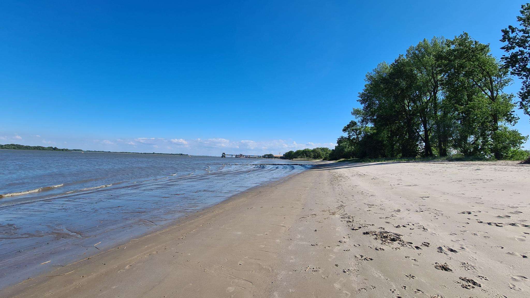
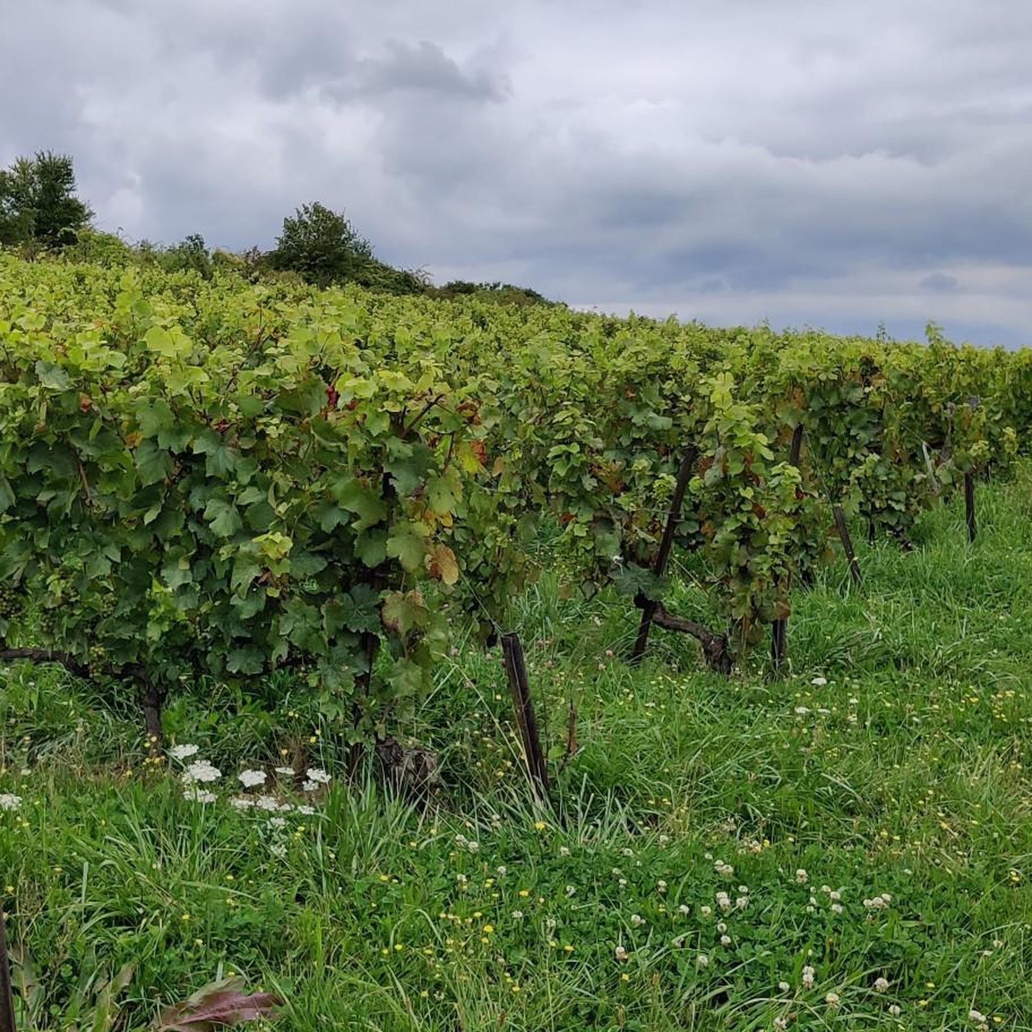
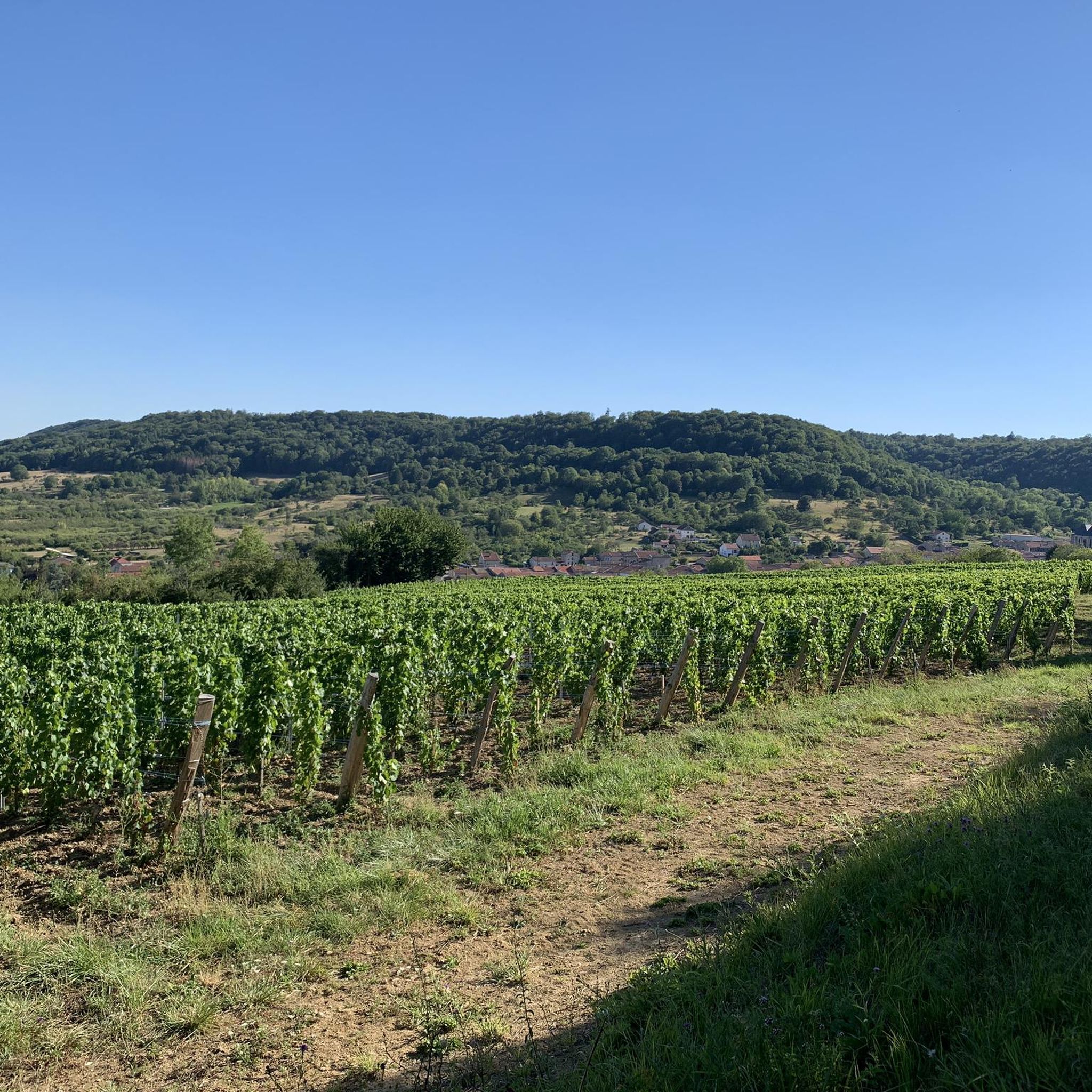
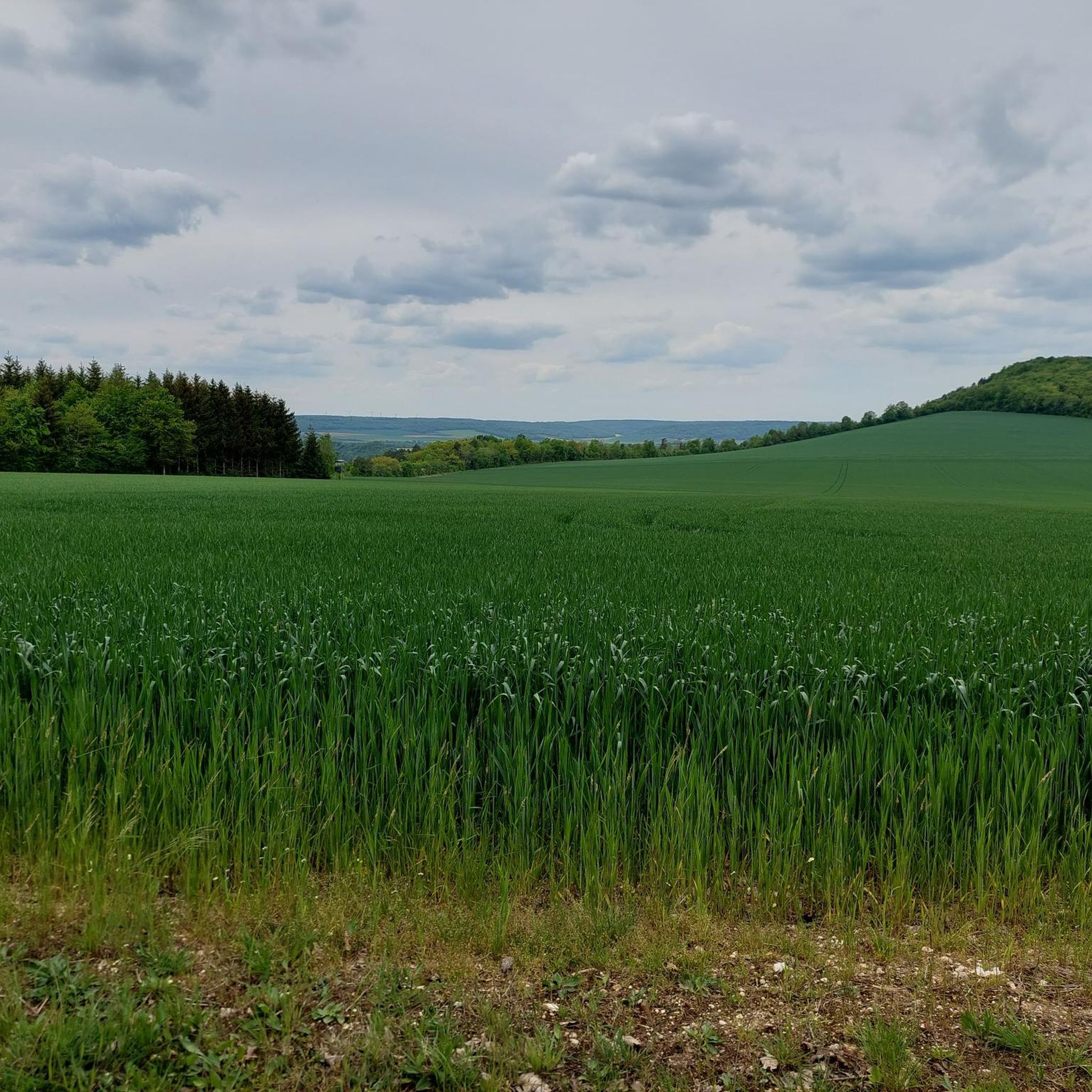
Jogging around Bulligny offers a diverse landscape for runners, characterized by its charming vineyards, dense forests, and tranquil ponds. The region features a distinctive "cuesta" landscape, providing varied terrain from flat, shaded paths to gentle ascents. Runners can explore the communal forest, the Étang de l'Etange, and the notable Massif de Meine, a classified Sensitive Natural Area.
Best jogging routes around Bulligny
- The most popular jogging route is Running loop from Vannes-le-Châtel, a 9.3 miles (15.0 km) trail that…
Last updated: May 13, 2026
12
runners
11.1km
01:16
180m
180m
Moderate run. Good fitness required. Mostly paved surfaces. Suitable for all skill levels.
11
runners
15.0km
01:50
280m
280m
Moderate run. Good fitness required. Mostly accessible paths. Some sure footedness required.

Sign up for free
10
runners
22.9km
02:43
430m
430m
Hard run. Very good fitness required. Mostly accessible paths. Some sure footedness required.
5
runners
10.3km
01:09
160m
160m
Moderate run. Good fitness required. Mostly paved surfaces. Suitable for all skill levels.
5
runners
4.41km
00:28
30m
30m
Easy run. Great for any fitness level. Mostly paved surfaces. Suitable for all skill levels.
Get access to more routes and recommendations from other explorers.
Sign up for free
Already have an account?
Our route recommendations are based on thousands of hikes, rides, and runs completed by other people on komoot.
Start today with a free account
Your next adventure awaits.
Login or Signup
Frequently Asked Questions
How many running routes are available around Bulligny?
Bulligny offers a wide selection of running routes, with over 70 trails available for exploration. These routes cater to various fitness levels, ranging from easy loops to more challenging long-distance runs through diverse landscapes.
What kind of terrain can I expect on the jogging trails in Bulligny?
The jogging trails in Bulligny feature a diverse and picturesque terrain. You can expect to run through charming vineyards, dense forests like the Massif de Meine, and past tranquil ponds such as the Étang de l'Etange. The region is also characterized by its distinctive "cuesta" landscape, offering a mix of flat, shaded paths and gentle ascents.
Are there any easy running routes suitable for beginners in Bulligny?
Yes, Bulligny has several easy running routes perfect for beginners or those looking for a relaxed jog. For instance, the Running loop from Crézilles is an easy 4.4 km (2.7 miles) path with minimal elevation gain, offering a pleasant experience through the local scenery.
Can I find more challenging or longer running trails in the area?
Absolutely. For runners seeking a greater challenge, Bulligny offers longer and more demanding trails. The Le four à charbon de bois loop from Bulligny is a difficult 22.9 km (14.2 miles) trail that leads through dense forests, providing a substantial workout with significant elevation changes.
What natural features or landmarks can I see while jogging in Bulligny?
While jogging in Bulligny, you can discover a variety of natural features and local landmarks. Many routes pass through the Bulligny vineyards, the communal pond known as "l'Etange," and the communal forest. The Sainte-Reine Cave is another notable natural attraction nearby. Some trails also offer panoramic views over the plain of Colombey-les-Belles and the city of Toul.
Are there any specific trails that offer scenic views?
Many trails in Bulligny provide scenic views, especially those traversing the vineyards and higher elevations. The Circuit de randonnée du Bois Brûlé, for example, offers inspiring vistas over the plain of Colombey-les-Belles and Toul. Running through the vineyards also provides unique and picturesque scenery, showcasing the local agricultural heritage.
Are the running routes in Bulligny suitable for families?
Yes, many of Bulligny's running routes are suitable for families, particularly the easier and flatter sections through the communal forest and around the Étang de l'Etange. These shaded paths offer a refreshing environment for a family jog or walk. Always check the route's difficulty and length to ensure it matches your family's capabilities.
Are dogs allowed on the jogging trails around Bulligny?
Generally, dogs are welcome on many outdoor trails in France, including those around Bulligny. However, it's always recommended to keep your dog on a leash, especially in forested areas like the Massif de Meine (a Sensitive Natural Area) to protect local wildlife and ensure the comfort of other trail users. Please be mindful of local regulations and signage.
Are there circular running routes available in Bulligny?
Yes, Bulligny is well-suited for circular running routes, allowing you to start and finish in the same location. Popular options include the Running loop from Vannes-le-Châtel and the Running loop from Bulligny, both offering varied terrain and scenic views without needing to retrace your steps.
What is the best time of year to go jogging in Bulligny?
Bulligny is enjoyable for jogging throughout much of the year. Spring and autumn offer pleasant temperatures and beautiful scenery, with blooming vineyards or vibrant fall foliage. Summer provides shaded routes through the forests, perfect for escaping the heat. Winter can also be beautiful, though some trails might be muddy or require appropriate gear.
Is parking available near the trailheads in Bulligny?
Yes, parking is generally available in Bulligny, particularly in the village center or near popular trail starting points. For specific routes, it's advisable to check the route details on Komoot, as many tours provide information on recommended parking spots close to the trailhead.
Do I need any permits to jog on the trails in Bulligny?
No, generally, you do not need any special permits to jog or hike on the public trails around Bulligny. The trails are freely accessible for outdoor enthusiasts. However, always respect private property and any posted signage, especially when running through agricultural areas like vineyards.
What do other runners enjoy most about the trails in Bulligny?
The running trails in Bulligny are highly rated by the Komoot community, with an average score of 4.8 stars from more than 10 reviews. Runners often praise the diverse landscapes, including the quiet woodlands, picturesque vineyards, and tranquil ponds. The variety of terrain, from flat paths to gentle ascents, and the well-maintained trails are also frequently highlighted as enjoyable aspects.
Most popular attractions around Bulligny

Get inspired with the komoot mobile app


Explore more
Browse the best Running Trails & Routes in other regions.
