The best MTB trails around Saint-May
4.3
(95)
516
riders
54
rides
Mountain bike trails around Saint-May are situated in the Drôme Provençale region, characterized by its varied and rugged terrain. The area features the dramatic Gorges de l'Eygues, limestone cliffs, and a blend of rolling hills, pine forests, and vineyards. Mountain biking here involves significant elevation changes, with routes traversing valleys, plateaus, and the foothills of the Vercors mountains. This diverse landscape offers a range of riding experiences for mountain bikers.
Best mountain bike trails around Saint-May
- The most popular mountain…
Last updated: August 18, 2026
15
riders
47.1km
03:15
870m
870m
Moderate mountain bike ride. Good fitness required. Suitable for all skill levels.
3.7
(3)
15
riders
17.5km
02:01
650m
650m
Moderate mountain bike ride. Good fitness required. Suitable for all skill levels.

Sign up for free
8
riders
24.4km
02:50
970m
970m
Hard mountain bike ride. Very good fitness required. Suitable for all skill levels.
4.5
(2)
8
riders
20.4km
01:23
280m
280m
Easy mountain bike ride. Great for any fitness level. Suitable for all skill levels.
5.0
(2)
7
riders
19.2km
01:37
520m
530m
Moderate mountain bike ride. Good fitness required. Suitable for all skill levels.
Get access to more routes and recommendations from other explorers.
Sign up for free
Already have an account?
Our route recommendations are based on thousands of hikes, rides, and runs completed by other people on komoot.
Start today with a free account
Your next adventure awaits.
Login or Signup
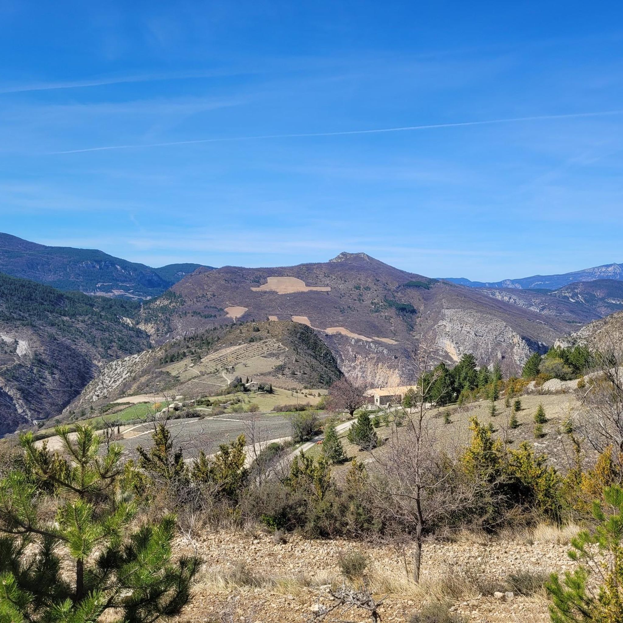
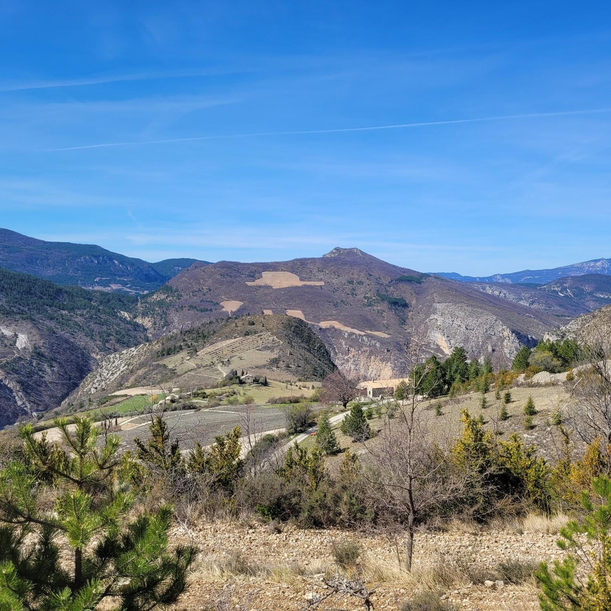
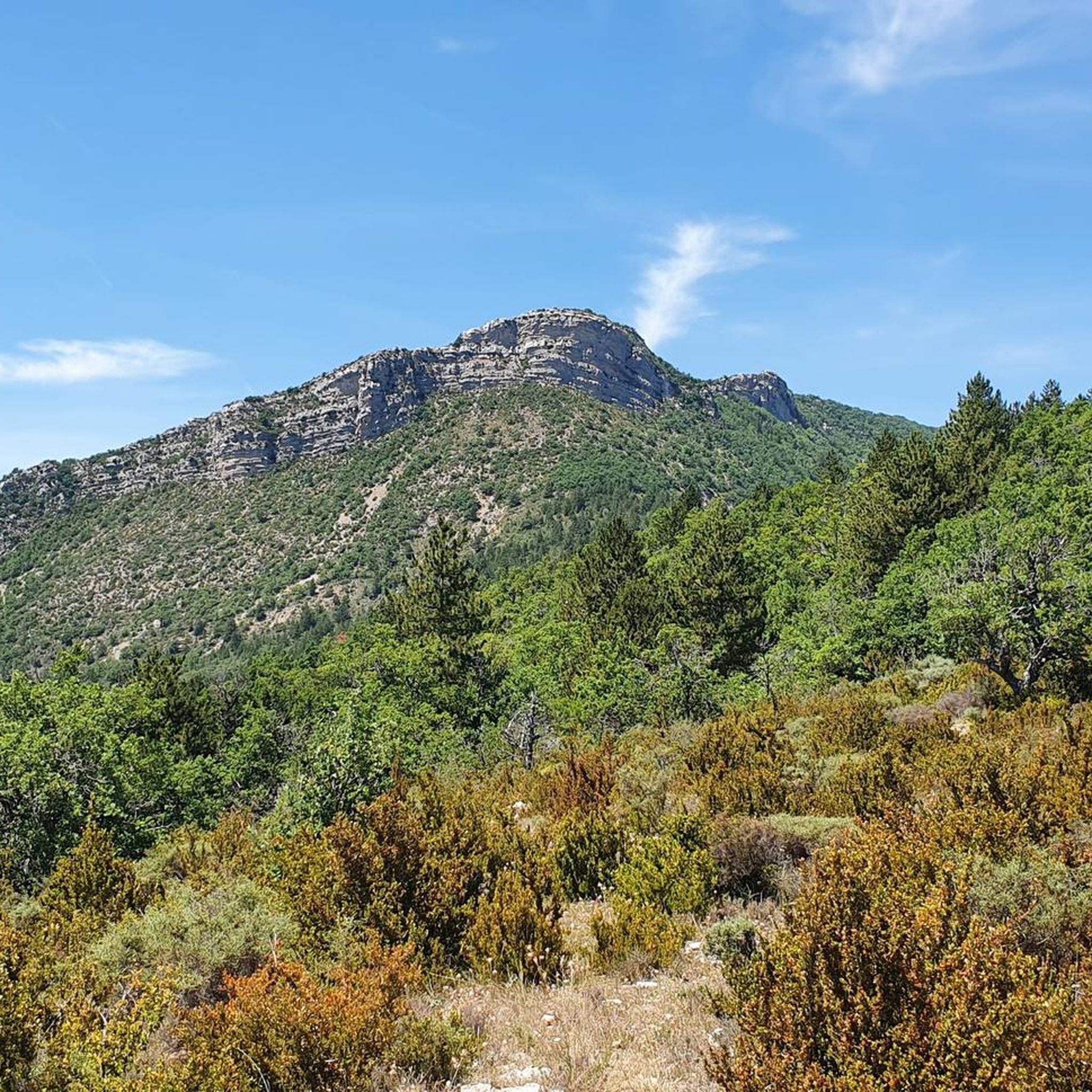
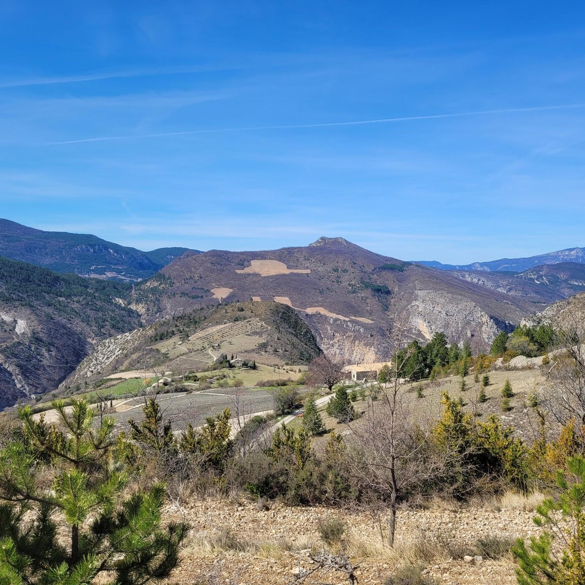

Tips from the Community

The ascent to Col de la Fromagère / Col de Pommerol from Rosans is located in the Hautes-Alpes region. This ascent is 6.6 km long, with a total elevation gain of 371 m. The average gradient of the ascent to Col de la Fromagère / Col de Pommerol from Rosans is 5.6%.
6
0
The ascent to Col de la Fromagère / Col de Pommerol from Rosans is located in the Hautes-Alpes region. This ascent is 6.6 km long, with a total elevation gain of 371 m. The average gradient of the ascent to Col de la Fromagère / Col de Pommerol from Rosans is 5.6%.
5
0
Not a very difficult climb.
4
0
Village surrounded by the Alps.
5
0

Magnificent region. I recommend the guest rooms at the Château de Rosans.
0
0

The Col de la Fromagère turns into the Col de Pommerol when you reach the summit. The climb is nevertheless magnificent on a small mountain road, with good percentages sometimes approaching 12%
1
0

Every year there is a "Fête des vautours", 2024 at the beginning of June. Various events are offered in Rémuzat and Villeperdrix.
1
0
Frequently Asked Questions
How many mountain bike trails are available in Saint-May?
There are nearly 50 mountain bike trails around Saint-May, offering a wide range of experiences. These include 3 easy routes, 27 moderate routes, and 18 difficult routes, ensuring options for various skill levels.
What kind of terrain and elevation changes can I expect on mountain bike trails in Saint-May?
Mountain biking in Saint-May is characterized by significant vertical climbs and diverse terrain. You'll encounter a mix of technical singletrack with narrow sections, steep descents, and rock faces, alongside smoother, flowy trails featuring berms and bridges. The region's natural contours provide a varied riding experience within forested areas, typical of the Drôme Provençale landscape.
Are there any family-friendly mountain bike trails in Saint-May?
While many trails in Saint-May feature significant elevation changes and can be challenging, there are 3 routes classified as easy. These are generally more suitable for families or those looking for a less strenuous ride. For specific recommendations, it's best to check individual route details on komoot.
What are some notable natural features or landmarks I can see while mountain biking in Saint-May?
The region offers several interesting natural features and landmarks. You might encounter the impressive Rocher du Caire, a prominent viewpoint, or the dramatic Gorges de Trente-Pas. Another unique sight is Le Trou de Souris Rock Arch. For panoramic views, consider routes that pass near Montagne de Raton.
Are there any circular mountain bike routes in Saint-May?
Yes, many of the mountain bike trails in Saint-May are designed as loops. For example, the challenging Les Marzellières – Rémuzat loop from Rémuzat covers 21.2 miles (34.1 km) with substantial elevation gain. Another popular option is the moderate Rosans – COL DE POMMEROL loop from Rémuzat, which is 29.4 miles (47.3 km) long.
What is the best time of year to go mountain biking in Saint-May?
The Mont Sainte-Marie area, which Saint-May is part of, is known for its four-season activities. While specific mountain biking season details aren't provided, generally spring through autumn offer the best conditions for mountain biking in this region, avoiding winter snow and ice. Always check local weather conditions before heading out.
What do other mountain bikers enjoy most about the trails in Saint-May?
The mountain bike trails around Saint-May are highly rated by the komoot community, with an average score of 4.3 stars from over 70 reviews. Riders often praise the significant elevation changes, varied terrain, and the natural surroundings that define the riding experience in the Drôme Provençale.
Are there any particularly challenging mountain bike trails for advanced riders?
Absolutely. Saint-May offers 18 difficult routes for experienced riders. One notable challenging route is the Sausse Pass – Col de la Sausse loop from Cornillon-sur-l'Oule, which spans 42.4 miles (68.3 km) and features significant elevation changes, often taking around 5 hours to complete. The region is known for trails with narrow traverses, steep descents, and rock faces.
Are there any mountain bike trails that offer a good mix of ascents and descents?
Many trails in Saint-May provide a balanced experience of climbing and descending. The moderate Route de Léoux – Villeperdrix loop from Cornillon-sur-l'Oule is a good example, covering 39.1 miles (63 km) with a mix of ascents and descents through the regional landscape.
Are there any historical sites or castles near the mountain bike routes?
Yes, you can find historical sites near some of the routes. For instance, La Charce Castle is an interesting landmark in the vicinity that riders might pass or find accessible from certain trails.
What is the overall difficulty level of mountain biking in Saint-May?
Mountain biking in Saint-May is generally considered to have a diverse difficulty range, with a significant number of moderate and difficult routes. While there are a few easy options, the region is known for its challenging climbs and descents, making it particularly appealing to intermediate and advanced riders.
Most popular attractions around Saint-May

Get inspired with the komoot mobile app


Explore more
Browse the best MTB trails in other regions.
