The best road cycling routes around Sansa
4.4
(47)
3,344
riders
40
rides
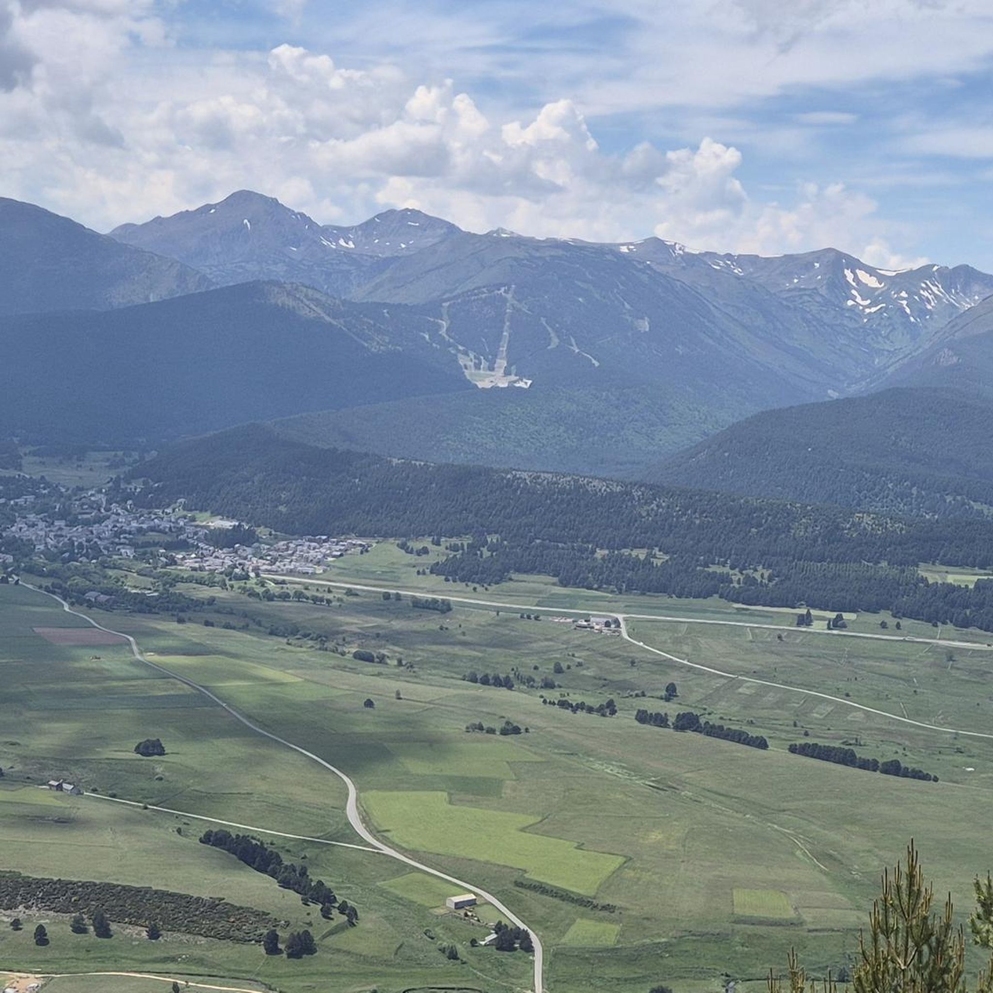
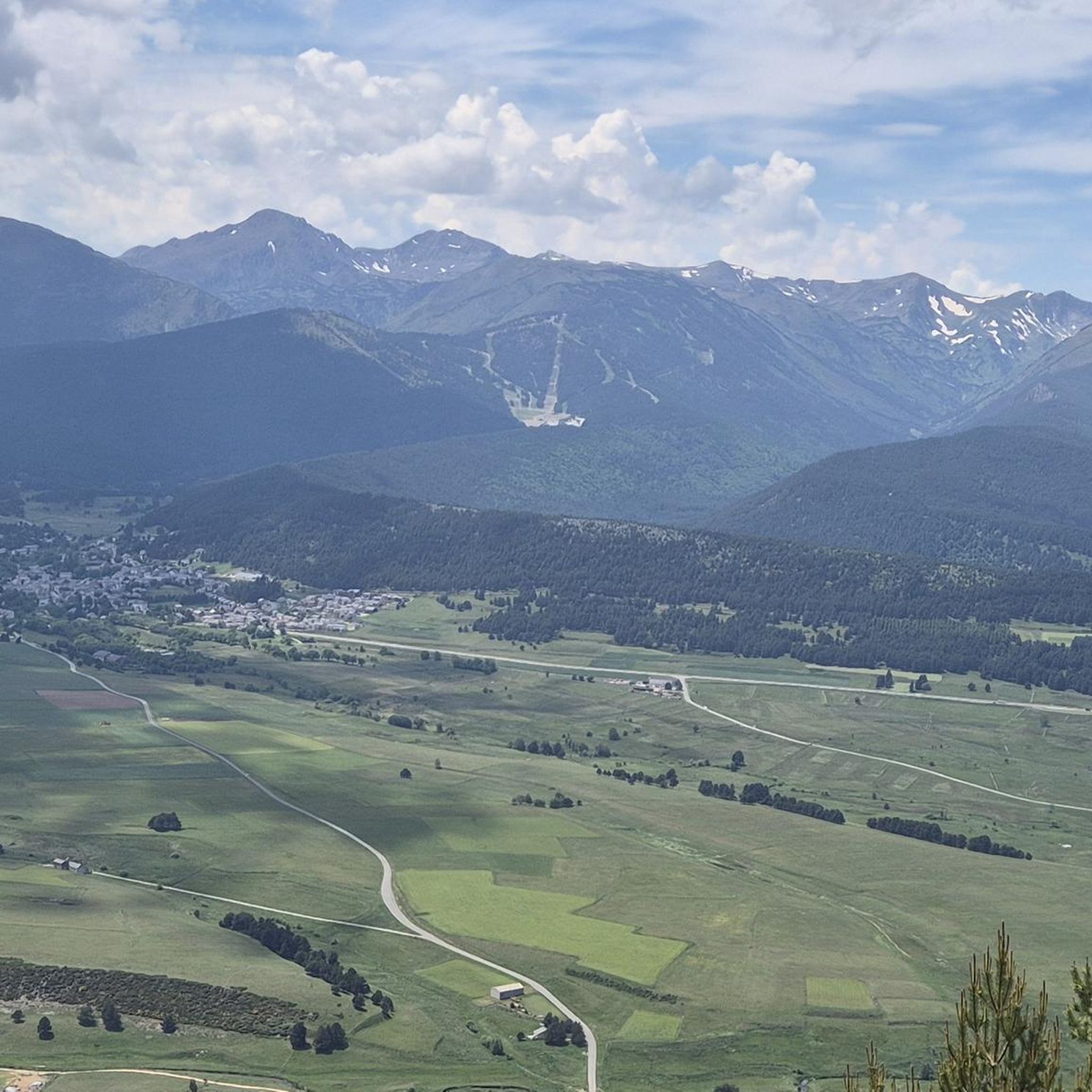
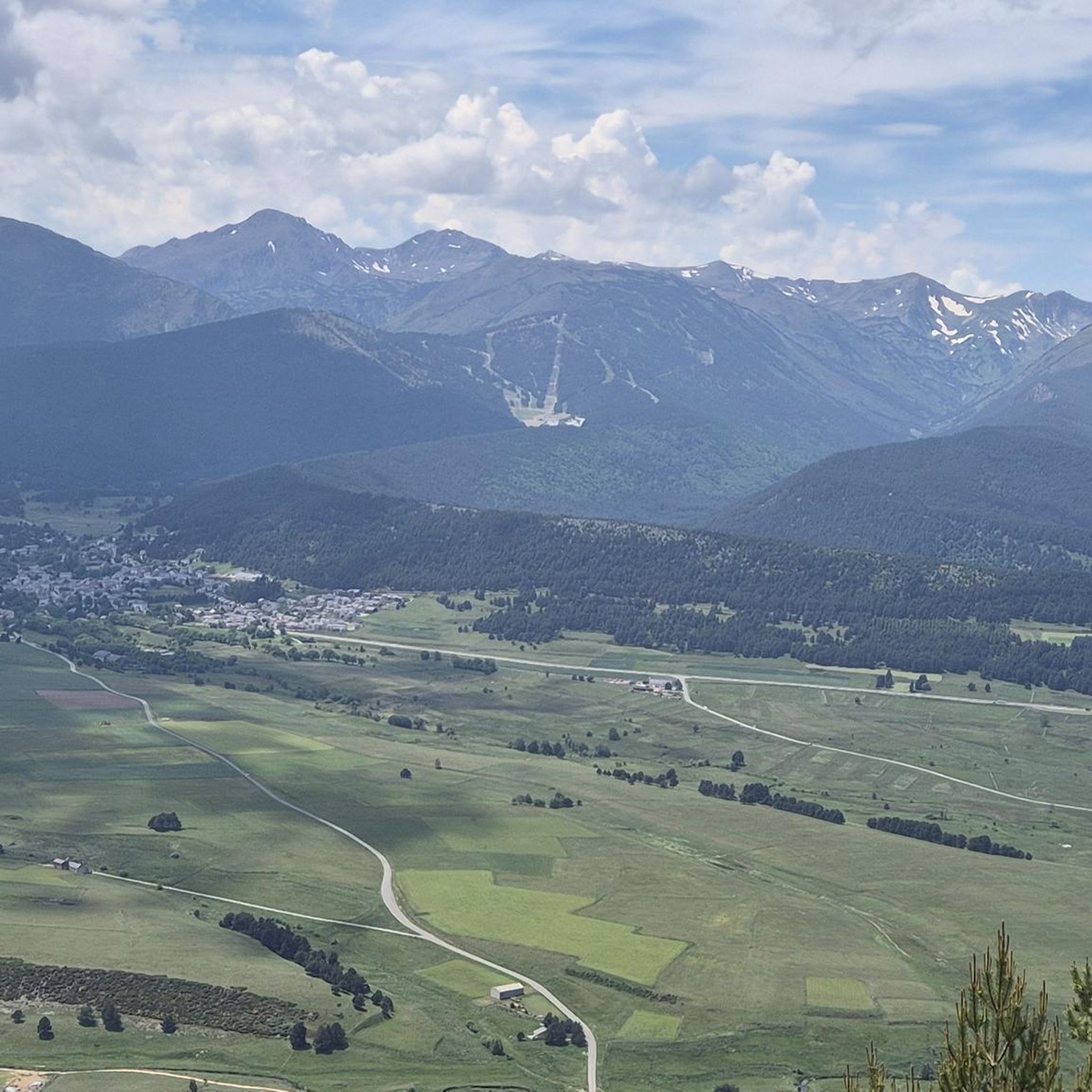
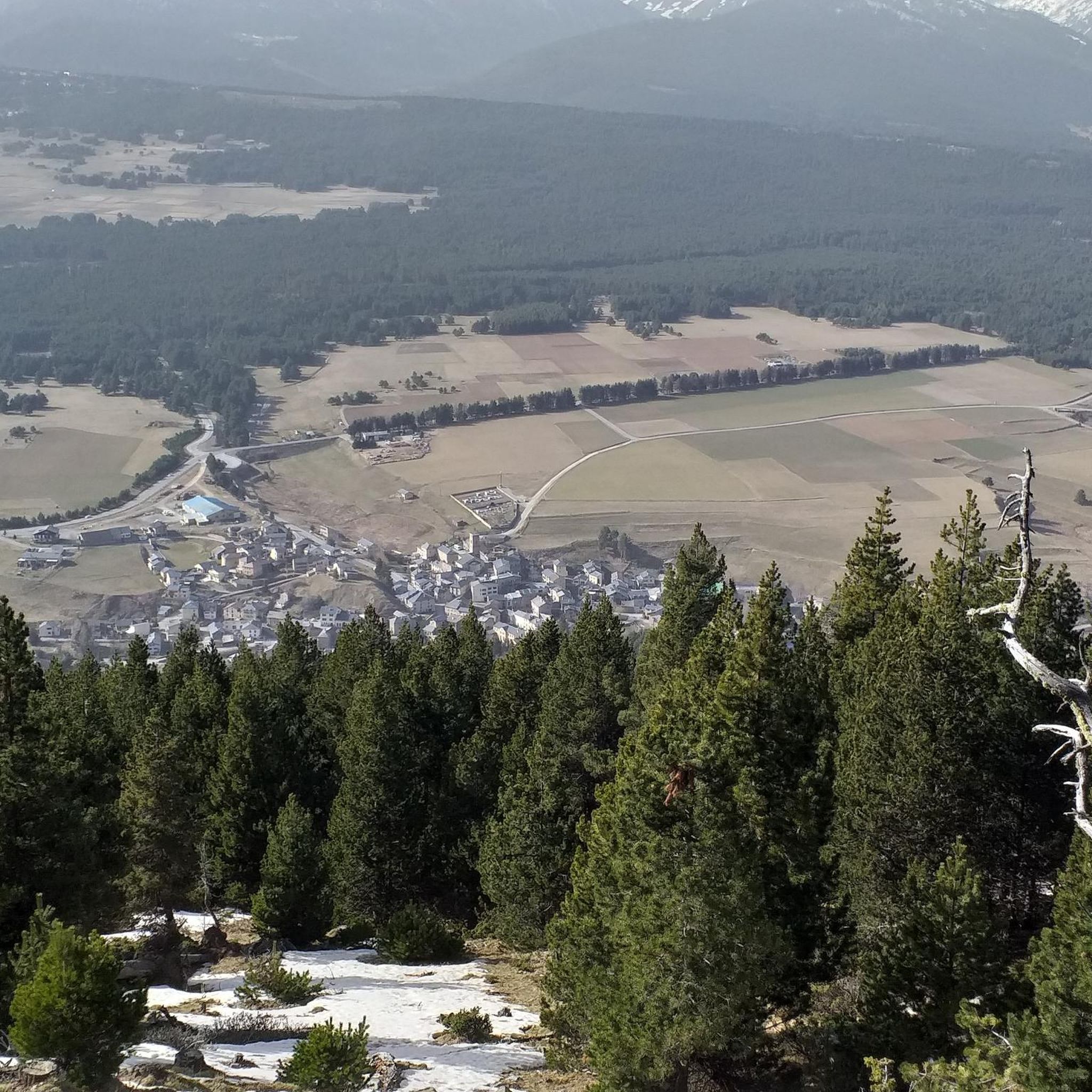
Road cycling routes around Sansa are situated in the Occitanie region of southern France, characterized by significant elevation changes. The terrain ranges from 1,155 to 2,459 meters, with an average elevation of 1,400 meters, providing varied routes for cyclists. Sansa is part of the Regional Natural Park of the Catalan Pyrenees, featuring mountainous landscapes and valleys drained by watercourses like the Cabrils river. This geography offers challenging climbs and descents through natural environments.
Best road cycling routes around Sansa
- The…
Last updated: May 23, 2026
4.5
(4)
157
riders
32.9km
02:06
960m
960m
This difficult 20.5-mile (32.9 km) racebike route between Juell Pass and Llose Pass climbs 3161 feet (963 meters) in the French Pyrenees.
4.6
(8)
131
riders
27.2km
01:40
710m
710m
Moderate road ride. Good fitness required. Mostly well-paved surfaces and easy to ride.

Sign up for free
4.5
(4)
519
riders
104km
06:37
3,080m
3,080m
Hard road ride. Very good fitness required. Mostly well-paved surfaces and easy to ride.
4.5
(4)
236
riders
65.0km
04:01
1,800m
1,800m
Hard road ride. Very good fitness required. Mostly well-paved surfaces and easy to ride.
4.6
(8)
701
riders
Moderate road ride. Good fitness required. Mostly well-paved surfaces and easy to ride.
Get access to more routes and recommendations from other explorers.
Sign up for free
Already have an account?
Our route recommendations are based on thousands of hikes, rides, and runs completed by other people on komoot.
Start today with a free account
Your next adventure awaits.
Login or Signup


Tips from the Community

It's an ideal spot for a picnic. It's also an ideal place for groups of cyclists supported by vans, as there's plenty of space here to relax and not disturb anyone. The lake is at an elevated point, so accessing it from La Llagonne or Les Angles requires a steep climb, always at a lower gradient.
0
0
This spot is the same as the parking lot and the building of the Mijanès ski resort. I'll tell you about several interesting points about this place: - During the winter months, when the ski resort is open, there is a bar serving food. I'm mentioning this in case anyone is interested in climbing Port de Pailhères during these months. - This is where the road from Mijanès ends, and it is cleared when there is snow. During the winter months, there is a large barrier that prohibits the passage of cars and motorcycles, but it can be easily crossed by bike. If the barrier is down and you decide to climb by bike, keep in mind that you may encounter sections of the road with real mountains of snow. - From this point on, during the summer months, in addition to enjoying the road and the pass, you will constantly see herds of horses and cows. This is especially notable on sunny days in June and July.
0
0


Fountain in the charming little village of Ayguatebia to refill your water before the final of the Col de la Llose or the Col de Jouël.
0
0


Well, starting from Font Romeu and breaking legs from Mont Louis
0
0
Frequently Asked Questions
How many road cycling routes are available around Sansa?
There are over 40 road cycling routes around Sansa, offering a wide range of options for different skill levels. You'll find 9 easy routes, 17 moderate routes, and 14 challenging routes, ensuring there's something for every cyclist.
What kind of terrain can I expect on road cycling routes in Sansa?
Road cycling around Sansa is characterized by significant elevation changes, with terrain ranging from 1,155 to 2,459 meters. You can expect mountainous landscapes, challenging climbs, and scenic descents through valleys, all within the beautiful Regional Natural Park of the Catalan Pyrenees.
Are there any family-friendly road cycling routes in Sansa?
While Sansa's terrain is generally mountainous, there are 9 routes classified as easy, which can be more suitable for families or those seeking a less strenuous ride. These routes often feature gentler gradients and allow for a more relaxed pace to enjoy the scenery.
What are some challenging road cycling routes for experienced riders?
For experienced riders seeking a challenge, Sansa offers 14 difficult routes. A notable option is the Coll de la Llose and Lake Matemale Loop, which covers 20.5 miles with over 3,100 feet of elevation gain. Another demanding route is the Pailhères Pass – Pradel Pass loop from Puyvalador, a 64.5-mile journey through multiple mountain passes.
Are there any loop road cycling routes around Sansa?
Yes, many road cycling routes around Sansa are designed as loops, allowing you to start and finish at the same point. Examples include the difficult Coll de la Llose and Lake Matemale Loop and the moderate Lake Matemale – Col de la Perche (1,579 m) loop from Puyvalador.
What can I see along the road cycling routes in Sansa?
Beyond the stunning mountain scenery, you can encounter various natural and historical points of interest. Routes may pass by natural monuments like Roc de la Foradada or serene bodies of water such as Lake Caudiès. Some routes also offer views of dramatic gorges like the Carança Corniche.
Are there any scenic viewpoints on road cycling routes in Sansa?
Given the mountainous terrain and high elevations, many routes naturally offer breathtaking scenic viewpoints. Passes like Col de la Llose provide expansive vistas of the Pyrénées-Orientales region and its valleys.
What is the best time of year for road cycling in Sansa?
The best time for road cycling in Sansa is typically from late spring to early autumn (May to October), when the weather is milder and mountain passes are clear of snow. The region's significant elevation means conditions can vary, so checking local forecasts is always recommended.
What do other road cyclists enjoy most about road cycling in Sansa?
The road cycling routes around Sansa are highly rated by the komoot community, with an average score of 4.2 stars from over 60 reviews. Cyclists often praise the challenging climbs, the diverse and beautiful mountainous scenery, and the opportunity to explore the protected natural areas of the Catalan Pyrenees.
Are there any routes that pass by lakes or rivers?
Yes, several routes incorporate the region's water features. For instance, the From Lake Matemale to Creu Pass then to Llose Pass route navigates past Lake Matemale, offering varied scenery alongside the water. The area is also drained by watercourses like the Cabrils river, providing picturesque sections along riverbeds.
What nearby attractions can I explore after a ride?
After your ride, you can explore historical sites like the UNESCO World Heritage site of Mont-Louis citadelle, just 11 km from Sansa, or the fortified town of Villefranche-de-Conflent, 16 km away. For natural beauty, the dramatic Gorges de l'Aude are about 31 km distant.
Most popular attractions around Sansa

Get inspired with the komoot mobile app


Explore more
Browse the best Road cycling routes in other regions.
