The best walks and hikes around Railleu
4.6
(2334)
18,666
hikers
299
hikes
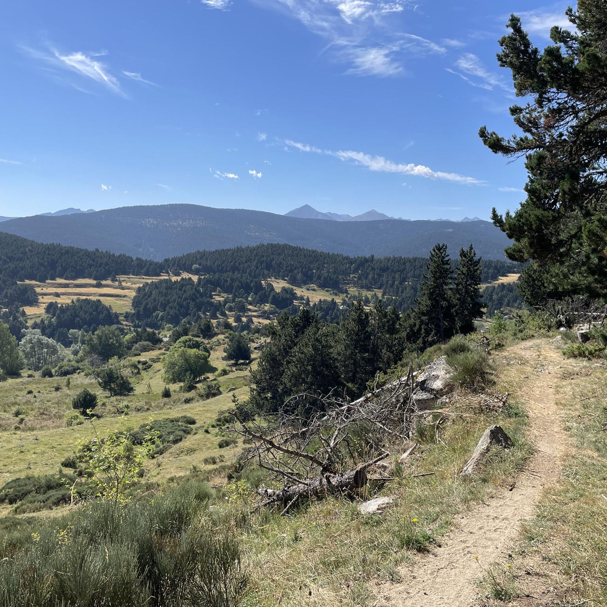
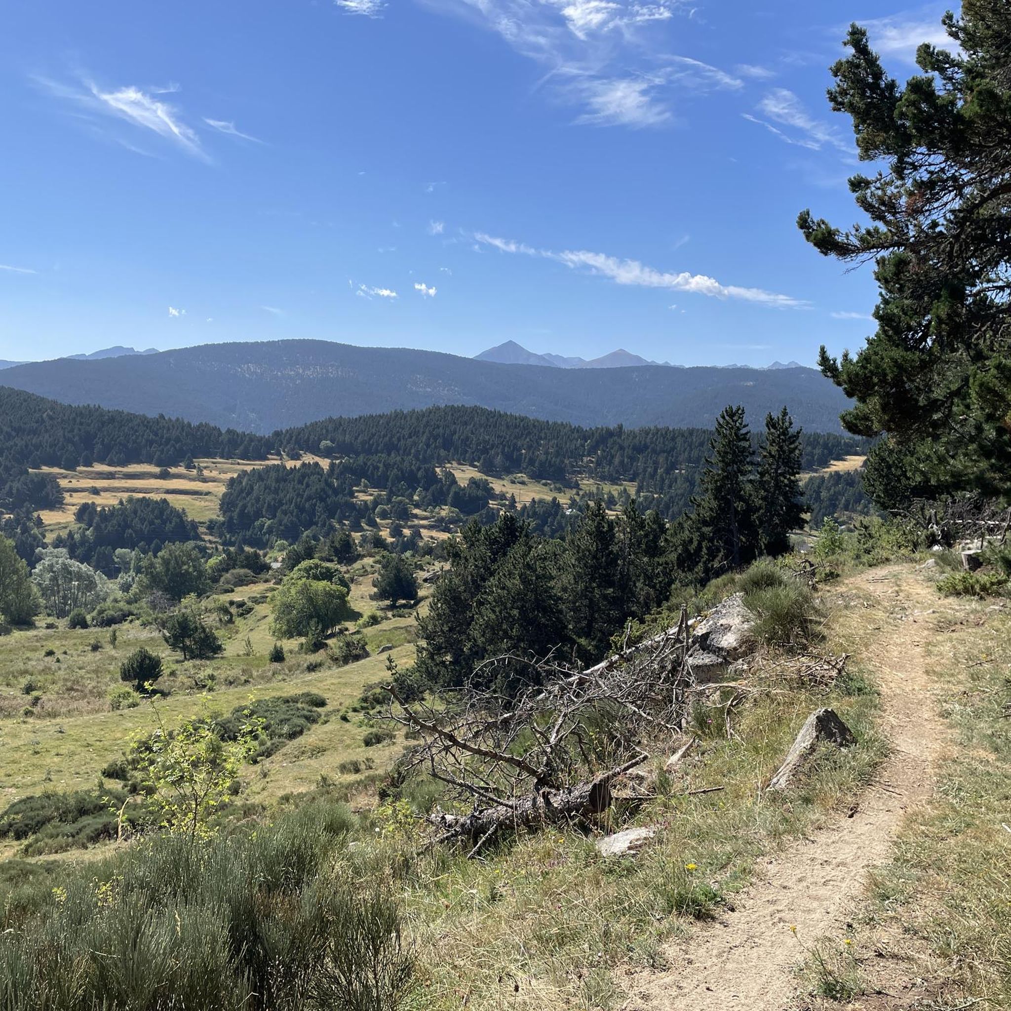
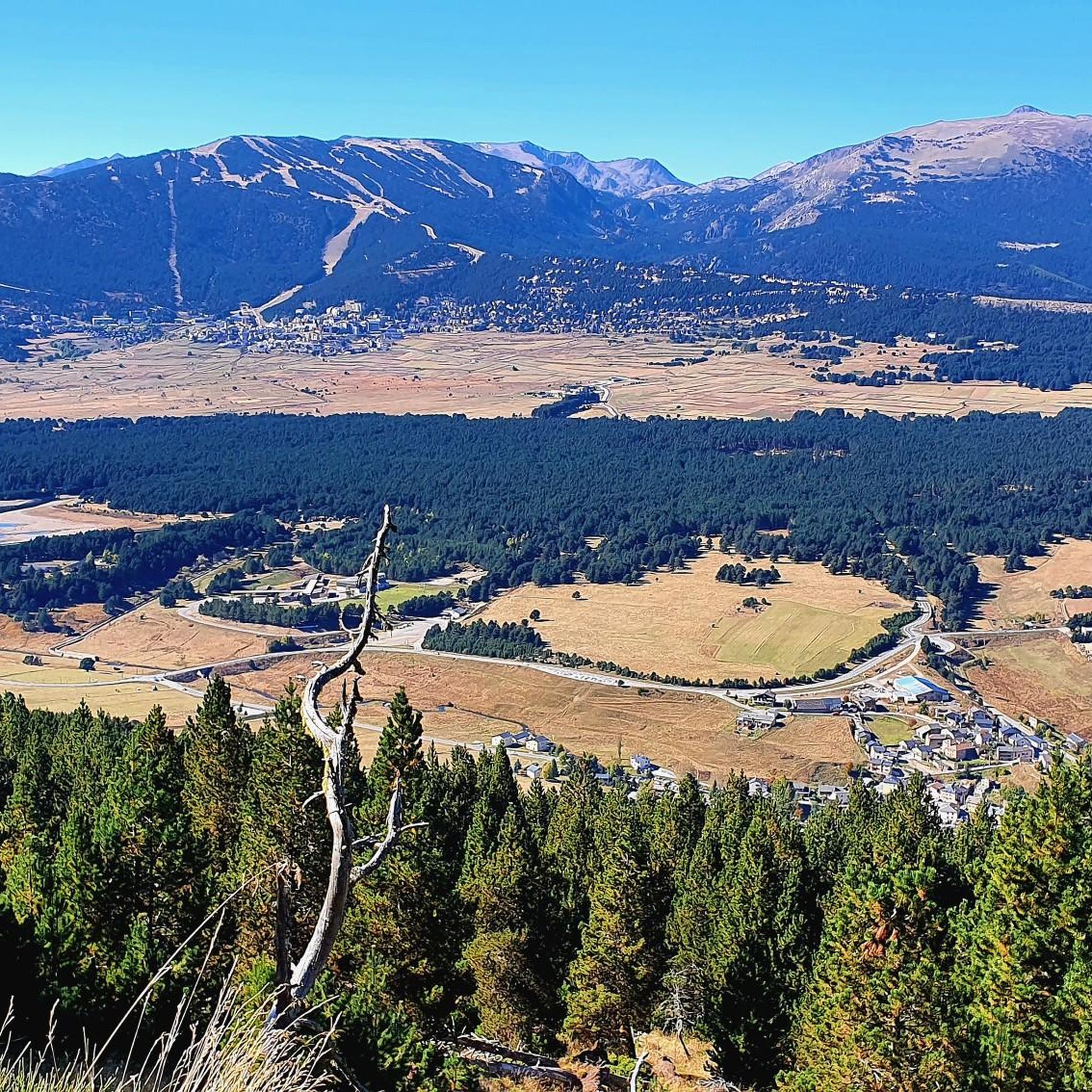
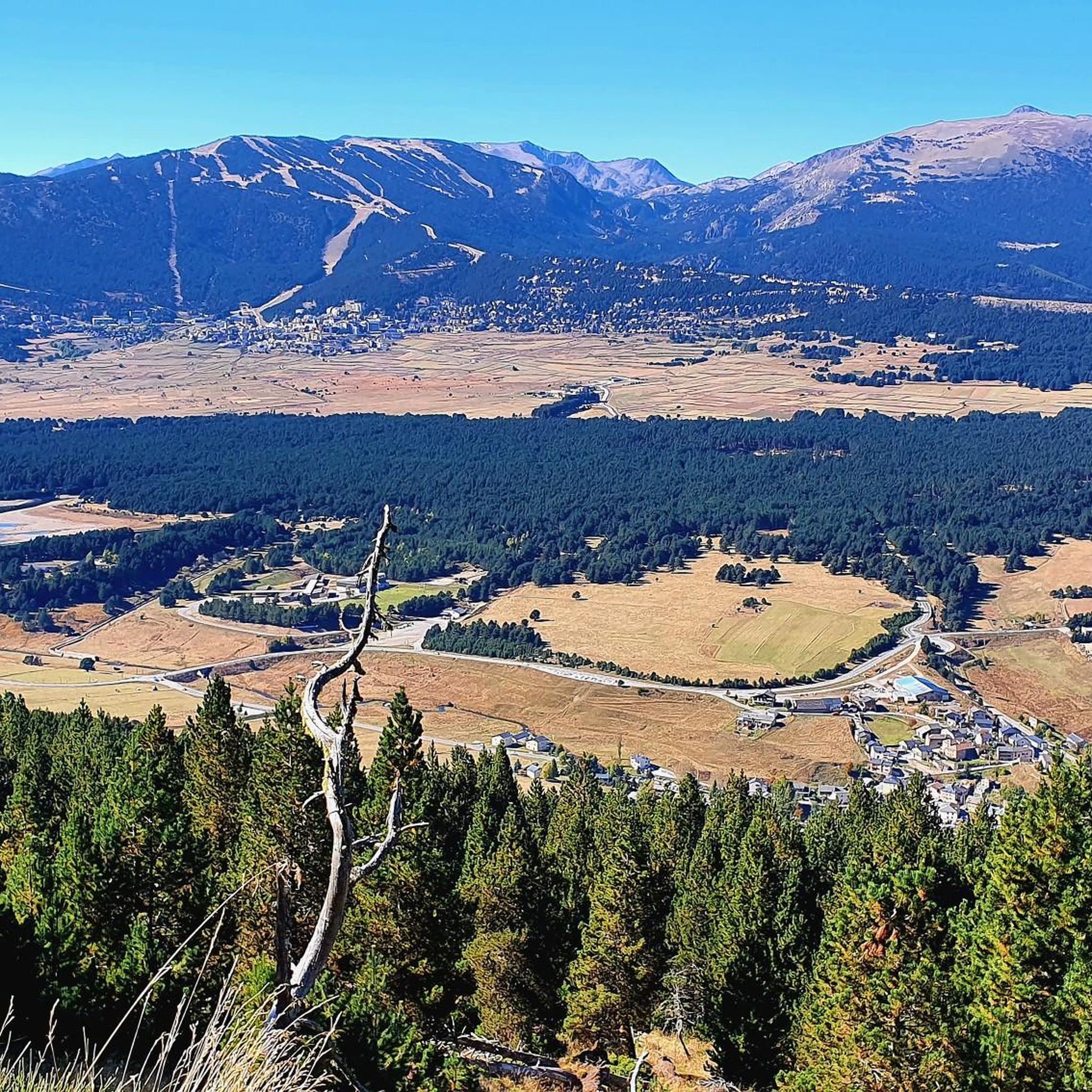
Hiking around Railleu offers access to a mountainous and heavily wooded environment within the Pyrénées-Orientales region of Occitanie, France. The area is part of the Garrotxes, a section of the Parc Naturel Régional des Pyrénées Catalanes, providing preserved natural settings. Hikers can expect varied landscapes, including valleys, forests, and views of the Ribera de Cabrils. The terrain alternates between open, exposed areas and sheltered passages through dense undergrowth.
Best hiking trails around Railleu
- The most popular hiking route is Puig…
Last updated: August 14, 2026
4.6
(12)
98
hikers
7.51km
02:08
170m
170m
Moderate hike. Good fitness required. Easily-accessible paths. Suitable for all skill levels.
4.6
(5)
57
hikers
10.2km
03:02
310m
310m
Moderate hike. Good fitness required. Easily-accessible paths. Suitable for all skill levels.

Sign up for free
4.8
(8)
38
hikers
16.0km
05:06
660m
660m
Hard hike. Very good fitness required. Easily-accessible paths. Suitable for all skill levels.
4.8
(8)
36
hikers
12.6km
03:58
500m
500m
Moderate hike. Good fitness required. Easily-accessible paths. Suitable for all skill levels.
5.0
(4)
33
hikers
15.0km
04:38
520m
520m
Moderate hike. Good fitness required. Easily-accessible paths. Suitable for all skill levels.
Get access to more routes and recommendations from other explorers.
Sign up for free
Already have an account?
Our route recommendations are based on thousands of hikes, rides, and runs completed by other people on komoot.
Start today with a free account
Your next adventure awaits.
Login or Signup

Tips from the Community

It is a small elevation that allows you to connect Railleu and Caudiès-de-Conflent with Aiguatèbia in the most direct way possible. The road is very narrow although it has been recently paved and the asphalt is simply perfect. On the Aiguatèbia slope it is approximately 3 km very hard, although with wonderful views of the valley. You can not lose this!
1
0
It is a simply spectacular port that unites the regions of Conflent and Capcir. It is one of the most beautiful ports in the easternmost Pyrenees. It is very close to the Col de la Llosa, and you can take a circular route that is known as the "Route des Cols". It is also indicated on nearby road signs. The hardest slope is the one that begins in Olette (Conflent) and goes up through Aiguatèbia. There are almost 22 km of ascent and 1,089 meters of elevation gain. It has 3 very different zones: (1) the first is a constant 5 km at 7%; (2) the second is 10 km at 4% and with some very pleasant rest areas, with beautiful views; (3) The final part is 6 km on average at 7%, since it passes the town of Railleu, although the hard part is the last 3 km, with several ramps that exceed 10%. The road is narrow and has uneven asphalt, with hardly any cars and motorcycles. For me, the final part of this port is truly spectacular and should not be missed. The west slope begins in the town of Matamala (Capcir) and is 3 km with an average of close to 8%. It is a long irregular stretch along a narrow and very quiet road, with panoramic views of the valley when the thick black pine forest gives some opportunity.
0
0

A little disappointing: the pass is in the middle of the forest and offers no view. The climb from (and to!) Railleu is nevertheless superb. A nice picnic area to have a bite to eat.
1
0
Very pretty perched village with magnificent views over a narrow valley, before tackling the last kilometers of the Col de Creu (via Oliette)!
0
0

if you have the legs go up to sansa before
1
0

Small pass, at the bend of a bend, on a municipal road not necessarily very well cleaned, but there is no one, it's great!
2
0

Start climb from Olette, it is amazing climbe, start easy at first but end is quiet steep, any way view is remarkable, landscape more like somwher in the south Asia, was quiet a fun!
0
1

An unspectacular pass to be reached via a beautiful little road
0
0
Frequently Asked Questions
How many hiking trails are available around Railleu?
There are over 280 hiking trails around Railleu, offering a wide variety of options for different skill levels. This includes approximately 110 easy routes, 130 moderate routes, and 45 difficult trails, ensuring there's something for everyone to explore in the mountainous and wooded terrain of the Pyrénées-Orientales.
What kind of terrain can I expect when hiking near Railleu?
The terrain around Railleu is predominantly mountainous and heavily wooded, situated within the Pyrénées Catalanes Regional Natural Park. You'll encounter diverse landscapes, from serene forests and green valleys to impressive natural features like canyons and mountain passes. Trails often alternate between open, exposed areas and sheltered passages through dense undergrowth, providing varied scenery and challenges.
Are there any circular walks recommended around Railleu?
Yes, Railleu offers several excellent circular walks. A popular moderate option is the Col de la Creu – Puig dels Agrellons loop from Col de Creu, covering about 10.2 km. For a more challenging experience, consider the Lake Caudiès – Col de Juell 1,500 m loop from Railleu, which is a difficult 15.9 km trail through mountainous terrain.
What are some notable natural features or viewpoints to discover on a hike?
The region around Railleu is rich in natural beauty. You can explore dramatic canyons like the Carança Corniche, known for its paths carved into the rock, or discover the unique Footbridges of the Carançà Gorge. For stunning vistas, look for viewpoints such as the Panorama from Pic Carlit to Cambre d'Aze or the View from Coll del Pam (2005 m).
Are there any family-friendly hiking options near Railleu?
While many trails in Railleu involve significant elevation, there are options suitable for families. The region research mentions "Le Sentier des 5 sens" (The Path of the 5 Senses) accessible from the Col de Jau road, which offers a unique sensory experience in nature and is generally suitable for a wider audience. For specific easy routes, you can filter the available 110 easy trails on komoot to find shorter, less strenuous options.
Can I bring my dog on the hiking trails around Railleu?
The Pyrénées Catalanes Regional Natural Park, where Railleu is located, generally welcomes dogs on trails, provided they are kept under control, especially in areas with livestock or wildlife. It's always best to check specific trail regulations or local signage, but many of the natural paths are suitable for dog walking, allowing you and your canine companion to enjoy the serene environment.
What do other hikers say about the trails in Railleu?
The hiking trails around Railleu are highly regarded by the komoot community, with an impressive average rating of 4.6 out of 5 stars from over 2,100 reviews. Hikers frequently praise the preserved natural settings, the diverse landscapes ranging from forests to valleys, and the tranquility of the area away from mass tourism.
Are there any trails that pass through charming villages or historical sites?
Yes, some trails offer a blend of natural beauty and cultural interest. The region research notes that routes like the "Boucle autour de Railleu" allow visitors to discover picturesque villages such as Railleu itself and the neighboring Sansa. You might also encounter historical elements like the vestiges of an ancient Romanesque church or an old mill near a stone bridge along certain paths.
What is a good moderate hike to experience the local scenery?
For a moderate hike that showcases the local scenery, consider the Col de la Creu – Refuge du Coll de Torn loop from Col de Creu. This 7.5 km route offers diverse views and is a great way to immerse yourself in the mountainous and wooded environment of Railleu without being overly strenuous.
Are there any lakes accessible via hiking trails near Railleu?
Yes, the area features several beautiful lakes. The region research mentions the Estanyols area with its various lakes, and the Lake Aude is also a notable natural monument. For a challenging hike that includes a lake, the Lake Caudiès – Col de Juell 1,500 m loop from Railleu is an option, though it's a difficult route.
What is the best time of year to go hiking in Railleu?
Railleu offers hiking opportunities throughout much of the year. The mountainous and wooded environment is beautiful in spring and autumn with vibrant foliage. Summer provides warmer weather for higher altitude trails, while winter can offer a unique experience with animal tracks in fresh snow, though some routes may require specific gear or be inaccessible due to snow. Always check local weather conditions before heading out.
Most popular routes around Railleu
Most popular attractions around Railleu

Get inspired with the komoot mobile app


Explore more
Browse the best Hikes in other regions.
