The best mountain hikes around Caudiès-De-Conflent
4.9
(7)
50
hikers
6
hikes
Mountaineering around Caudiès-De-Conflent offers access to the rugged terrain of the Catalan Pyrenees, characterized by high mountain peaks and deep valleys. The region features challenging trails and dramatic natural features such as the Carançà Gorges, known for their exposed passages and footbridges. This area provides a diverse environment for mountaineering, ranging from advanced trekking to more demanding ascents within the broader Pyrenean range. The Conflent-Canigó region, under the gaze of Canigó, further expands the opportunities for exploring preserved natural landscapes.
…Last updated: October 5, 2026
11
hikers
26.7km
08:55
1,270m
1,270m
Hard mountaineering route. Very good fitness required. Easily-accessible paths. Suitable for all skill levels.
5.0
(1)
8
hikers
11.5km
04:46
920m
920m
Hard mountaineering route. Very good fitness required. Easily-accessible paths. Suitable for all skill levels.

5.0
(1)
7
hikers
19.2km
08:35
1,270m
1,280m
Hard mountaineering route. Very good fitness required. Sure-footedness, sturdy shoes and alpine experience required.
4.7
(3)
11
hikers
12.6km
04:34
370m
370m
Moderate mountaineering route. Good fitness required. Mostly accessible paths. Sure-footedness required.
5
hikers
11.1km
03:31
370m
370m
Hard mountaineering route. Good fitness required. Sure-footedness, sturdy shoes and alpine experience required.
Our route recommendations are based on thousands of hikes, rides, and runs completed by other people on komoot.
Start today with a free account
Your next adventure awaits.
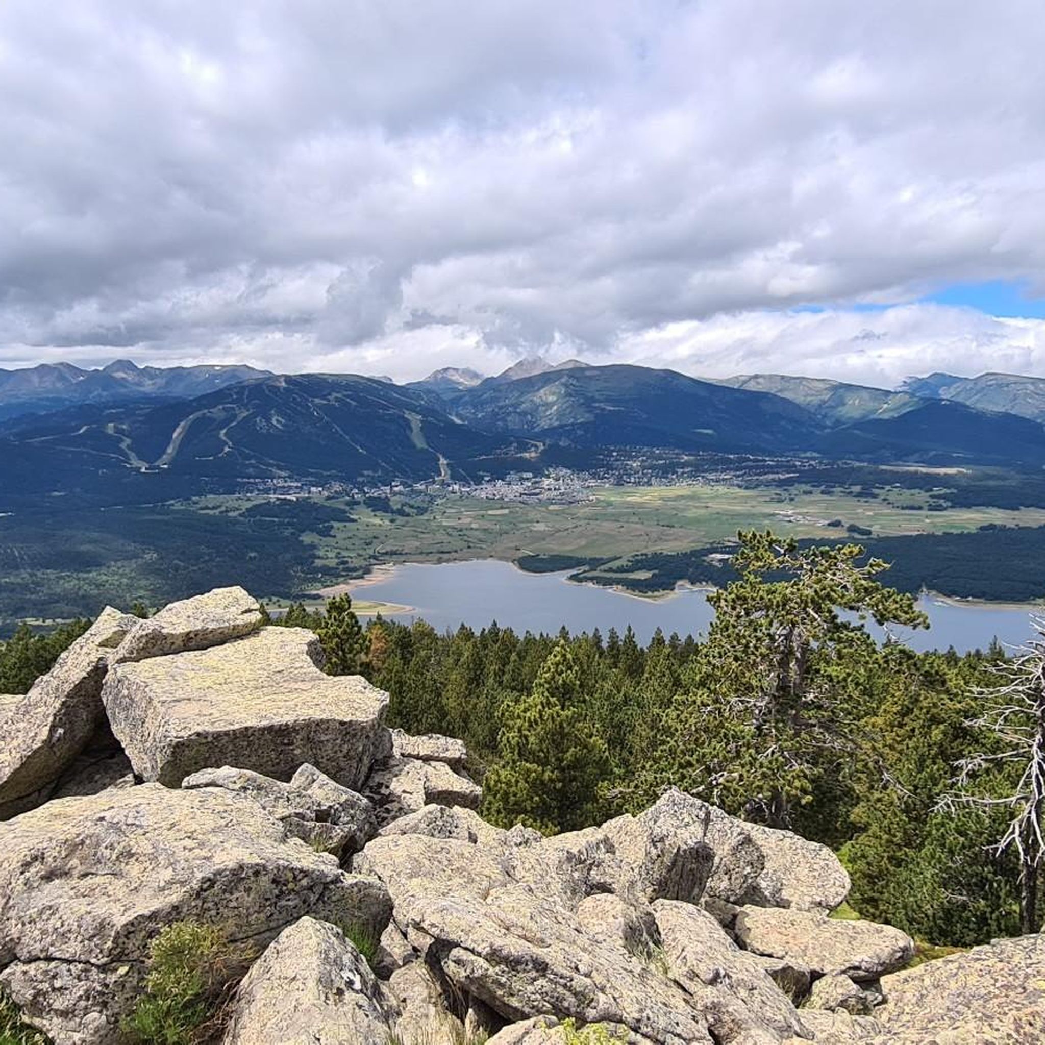
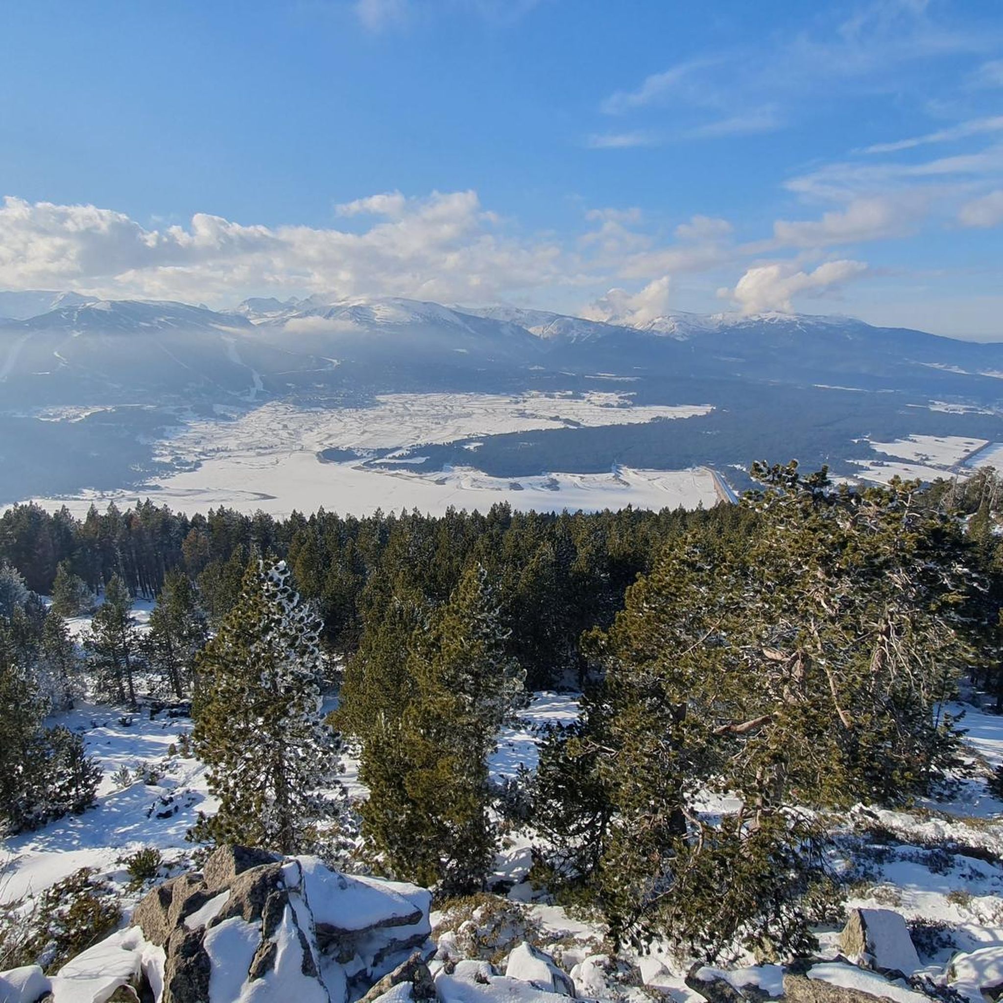
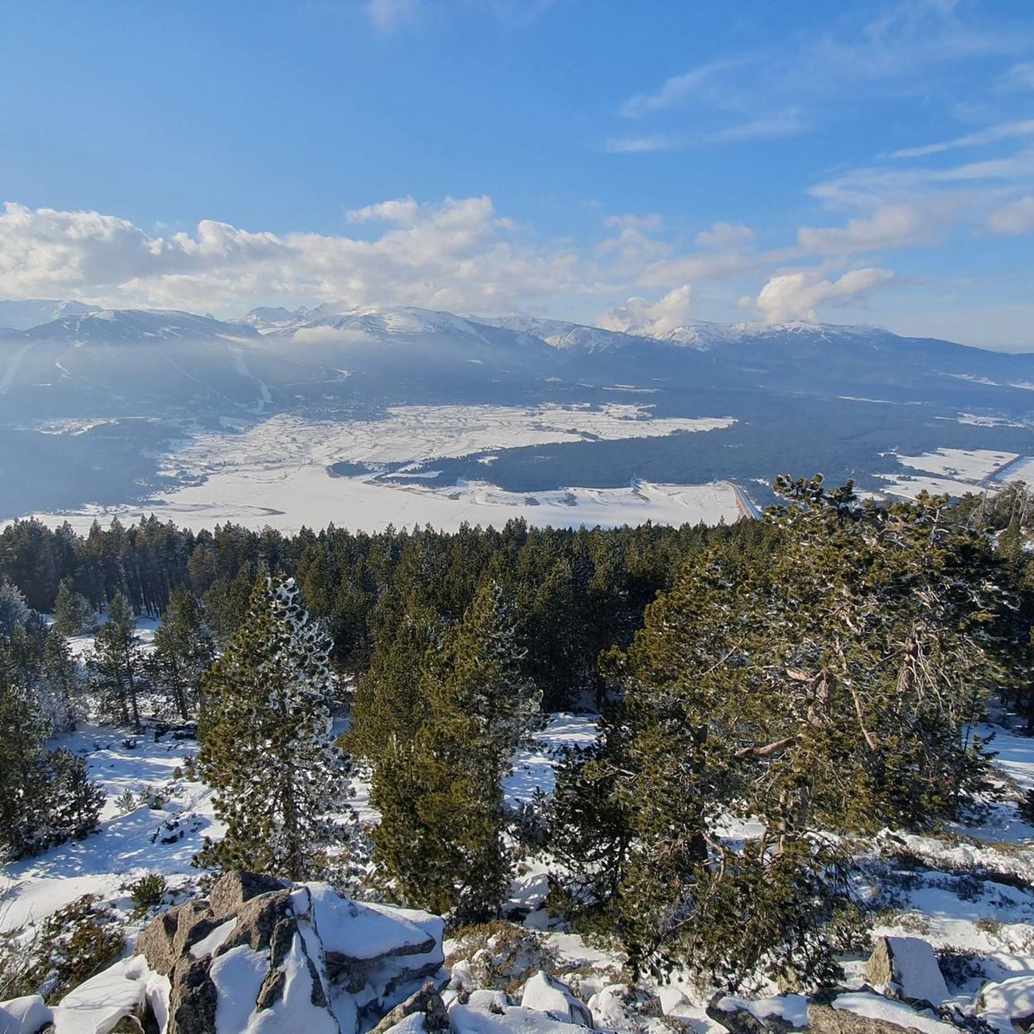
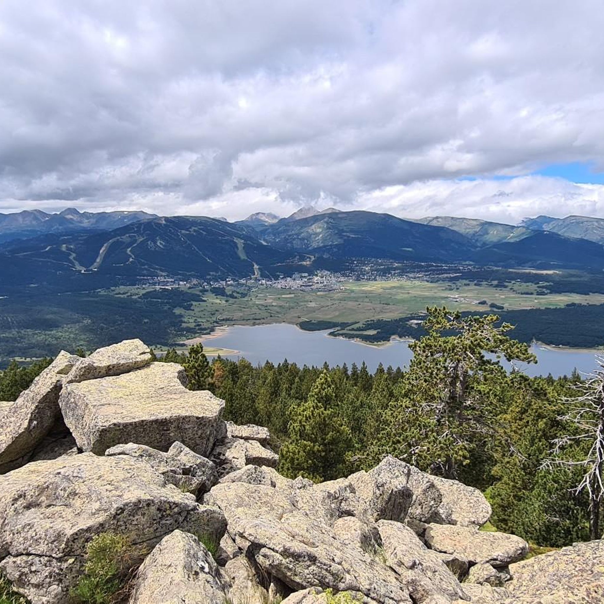
Tips from the Community


The landscapes are sumptuous and the fauna and flora offer a variety that makes this hike a very beautiful adventure.
0
0

This super panoramic trail overlooks the El Galba watercourse, and offers all along a superb panorama of the Galbe valley. You are thus accompanied by fir trees, large green meadows and the mineral, snow-capped peaks in the background.
0
0
The L'abri de la Jasse is an open hut that allows you to stop for the night, but also to take a break sheltered from the sun or rain. It is set in a magnificent, peaceful natural setting, in the middle of a clearing dotted with pine trees.
0
0

At the top but at the end the loop back on the left side at the level of the waterfall is not accessible in late spring because there is still too much snow, you will have to go through the other side.
0
0


Estany de la Pradella, also called the pond or lake of Pradeilles, is a beautiful mountain lake in the Pyrénées-Orientales. A superb setting for cycling in the heart of nature.
0
0
Frequently Asked Questions
What kind of mountaineering routes can I find around Caudiès-De-Conflent?
The region offers a diverse range of mountaineering experiences, from advanced trekking to more demanding ascents. You'll find routes characterized by high mountain peaks, deep gorges, and pristine alpine lakes within the Catalan Pyrenees. There are 7 routes in total, including 1 easy, 2 moderate, and 4 difficult options.
Are there any circular mountaineering routes in the area?
Yes, several routes offer a circular experience. For a challenging full-day adventure, consider the Les Bones Hores Bar & Restaurant – Peak Carlit loop from Pla des Avellans, which is 24.4 km long and offers extensive high-mountain views. Another popular option is the Serra da Mauri (2,412 m) – Lakes of Camporells loop from Formiguères, a difficult 28.0 km path that explores scenic lakes.
What are some notable natural features or landmarks to see on these routes?
The region is rich in dramatic natural features. You can explore the spectacular Carançà Corniche and the adventurous Footbridges of the Carançà Gorge, which include suspension bridges over the torrent. Many routes also pass by beautiful high-altitude lakes, such as those found on the Refuge Bernardi (1930 m) – Lake Aude loop from Les Angles.
What is the best time of year for mountaineering near Caudiès-De-Conflent?
The Catalan Pyrenees offer diverse conditions. While specific seasonal closures aren't detailed, the high-mountain environment suggests that late spring through early autumn typically provides the most favorable conditions for mountaineering, avoiding heavy snow and ice. Always check local weather and trail conditions before heading out.
Are there any less crowded mountaineering routes I can explore?
While the Carançà Gorges are popular, you might find quieter experiences on routes that delve deeper into the high-altitude landscapes. The Pradeilles pond – Étang Noir loop from Pla des Avellans offers a challenging yet potentially less frequented path through the mountains, leading to serene ponds.
What do other mountaineers say about the routes in Caudiès-De-Conflent?
The mountaineering routes around Caudiès-De-Conflent are highly regarded by the komoot community, with an impressive average score of 4.9 stars from over 10 reviews. Mountaineers often praise the challenging terrain, the stunning high-mountain views, and the pristine natural environment of the Catalan Pyrenees.
Is there parking available near the starting points of these mountaineering routes?
Many mountaineering routes in the region, such as those starting from Pla des Avellans or Formiguères, typically have designated parking areas. For example, routes like the Les Bones Hores Bar & Restaurant – Peak Carlit loop often begin from accessible points with parking facilities, though it's always advisable to check specific trailhead information.
Are there any permits required for mountaineering in the Caudiès-De-Conflent area, especially for places like the Carançà Gorges?
The Conflent-Canigó region includes 6 nature reserves. While general access for hiking is common, specific technical sections or protected areas, such as parts of the Carançà Gorges, might have regulations or require permits, especially for larger groups or certain activities. It's recommended to check with local tourism offices or park authorities for the most current information regarding permits or access restrictions.
Can I reach the mountaineering routes using public transport?
Caudiès-De-Conflent is a village in the Pyrénées-Orientales. While public transport options might connect to larger towns in the Conflent-Canigó region, direct access to specific high-mountain trailheads often requires personal transport. It's best to research local bus services or consider carpooling to reach the more remote starting points for mountaineering routes.
Are there any easier mountaineering routes suitable for beginners or those looking for a less strenuous option?
Yes, while many routes are challenging, there is 1 easy and 2 moderate routes available. For a moderate option, the Refuge Bernardi (1930 m) – Lake Aude loop from Les Angles is a 12.6 km trail that leads through high-altitude landscapes and is often completed in about 4 hours 33 minutes, offering a taste of the mountain environment without extreme difficulty.
What kind of gear should I bring for mountaineering in this region?
Given the rugged terrain, high mountain peaks, and potential for exposed passages like those in the Carançà Gorges, appropriate gear is crucial. This includes sturdy mountaineering boots, layers of clothing suitable for varying weather, navigation tools, sufficient water and food, and potentially a helmet or via ferrata kit for more technical sections. Always be prepared for rapid weather changes in the Pyrenees.
Are there any cafes or places to eat near the mountaineering trails?
While the immediate trailheads for high-mountain routes might not have direct facilities, you'll find options in nearby villages and towns. For example, the route Les Bones Hores Bar & Restaurant – Peak Carlit loop mentions a bar and restaurant in its name, suggesting amenities near its starting point. Caudiès-De-Conflent itself and other villages in the Conflent-Canigó region offer cafes and restaurants.
Most popular routes around Caudiès-De-Conflent
Most popular attractions around Caudiès-De-Conflent

Get inspired with the komoot mobile app


Explore more
Browse the best Mountain Hikes & Routes in other regions.
