The best road cycling routes around Oreilla
4.6
(75)
3,687
riders
29
rides
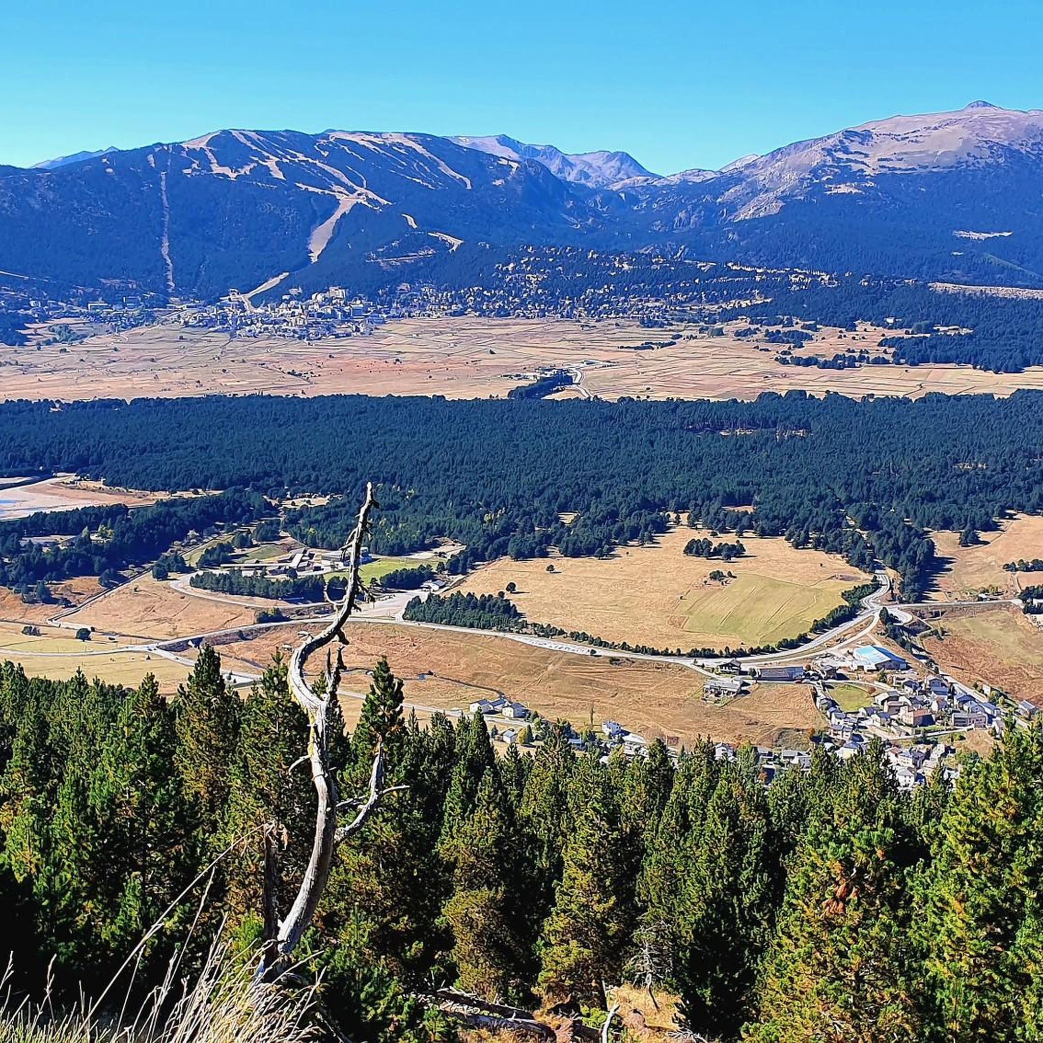
Road cycling routes around Oreilla are characterized by mountainous terrain, featuring significant elevation gains and challenging climbs. The region offers a diverse environment for cyclists, with routes winding through high mountain passes and scenic landscapes. These paths often traverse areas with notable topographical features, providing varied experiences for road cyclists. The network includes options for experienced riders seeking demanding ascents.
Best road cycling routes around Oreilla
- The most popular road cycling route is Coll de la Llose and Lake Matemale…
Last updated: July 1, 2026
4.5
(4)
164
riders
32.9km
02:06
960m
960m
Hard road ride. Very good fitness required. Mostly well-paved surfaces and easy to ride.
129
riders
51.2km
03:11
1,390m
1,390m
Hard road ride. Very good fitness required. Mostly well-paved surfaces and easy to ride.

Sign up for free
5.0
(5)
775
riders
70.2km
04:20
1,850m
1,850m
Hard road ride. Very good fitness required. Some segments of this route may be unpaved and difficult to ride.
49
riders
73.7km
03:54
1,350m
1,350m
Hard road ride. Very good fitness required. Mostly well-paved surfaces and easy to ride.
21
riders
39.6km
02:31
1,130m
1,130m
Hard road ride. Very good fitness required. Some segments of this route may be unpaved and difficult to ride.
Get access to more routes and recommendations from other explorers.
Sign up for free
Already have an account?
Our route recommendations are based on thousands of hikes, rides, and runs completed by other people on komoot.
Start today with a free account
Your next adventure awaits.
Login or Signup
Tips from the Community

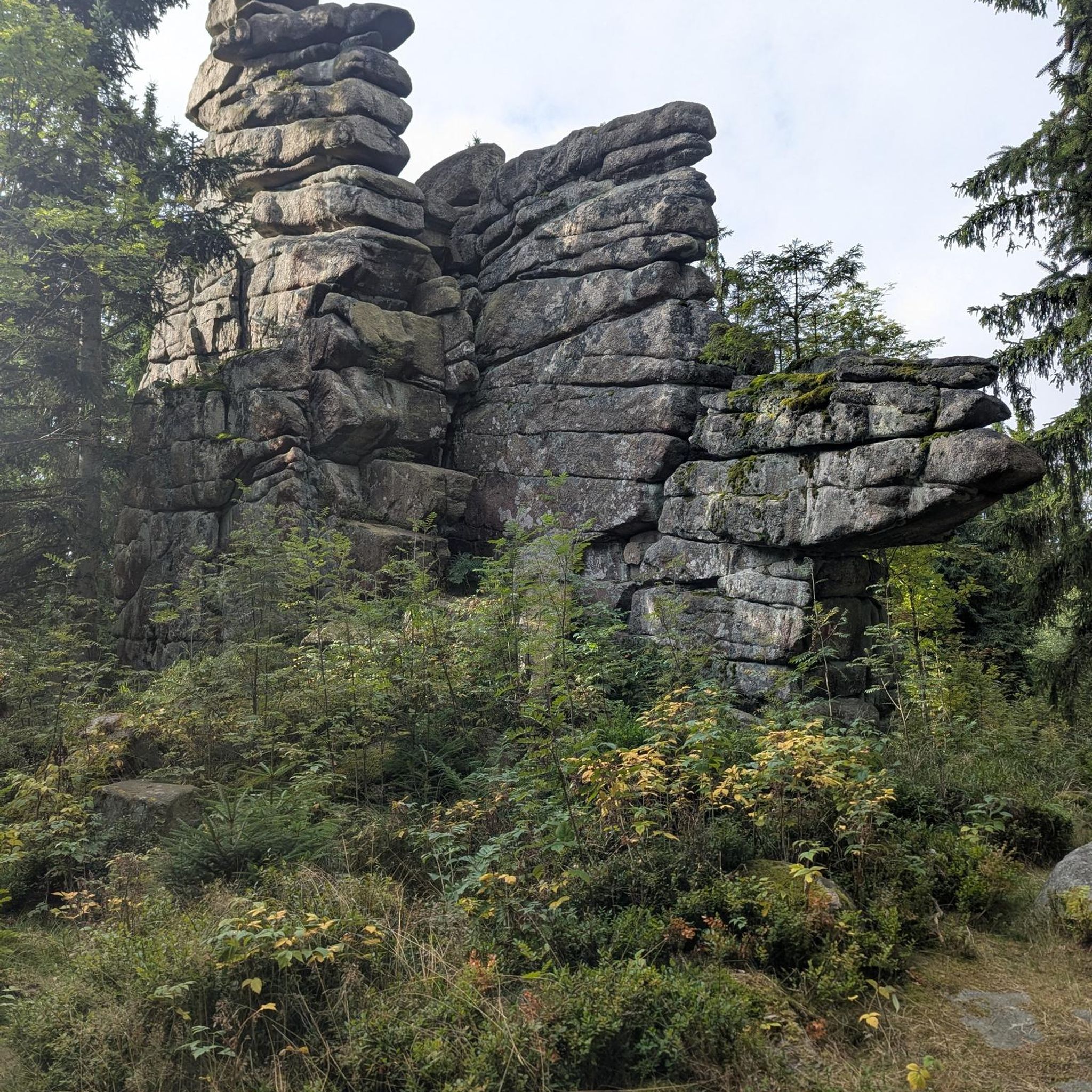
The Grand Menhir of Counozouls weighs 50 tons and is 8.9m high. It is the largest menhir in Southern France.
1
0

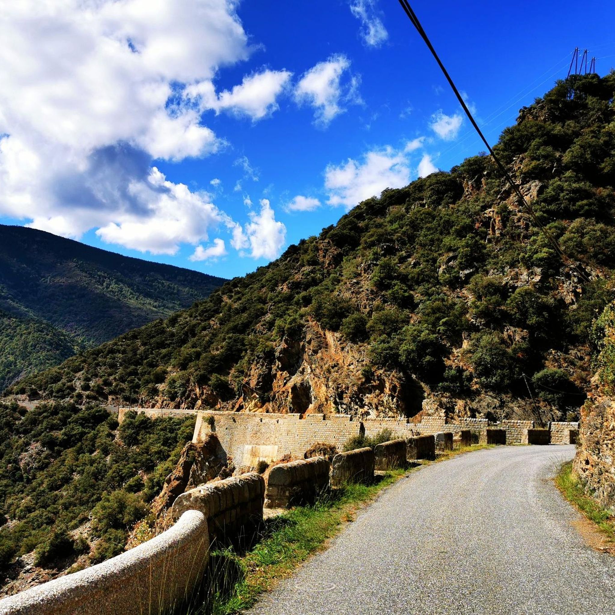
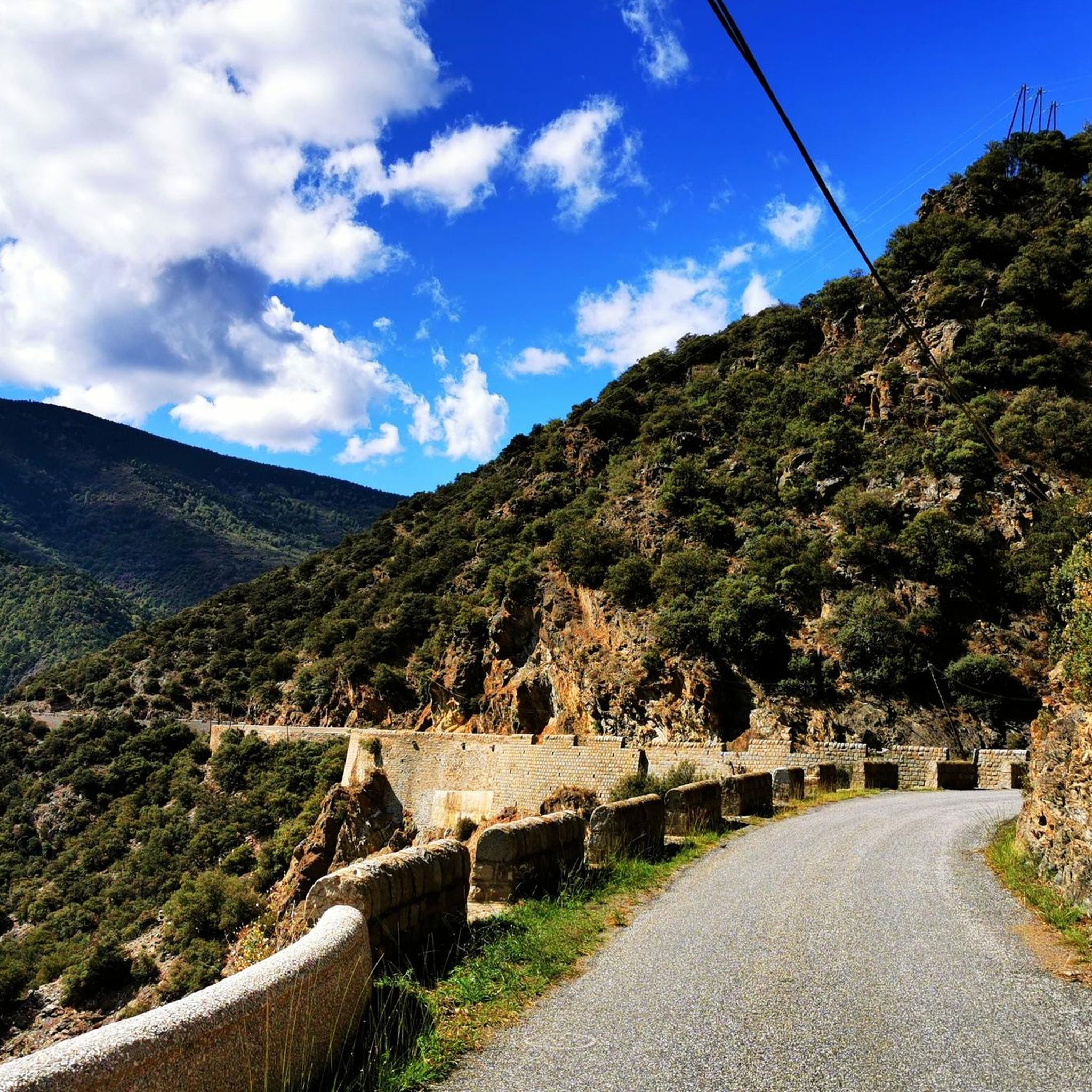
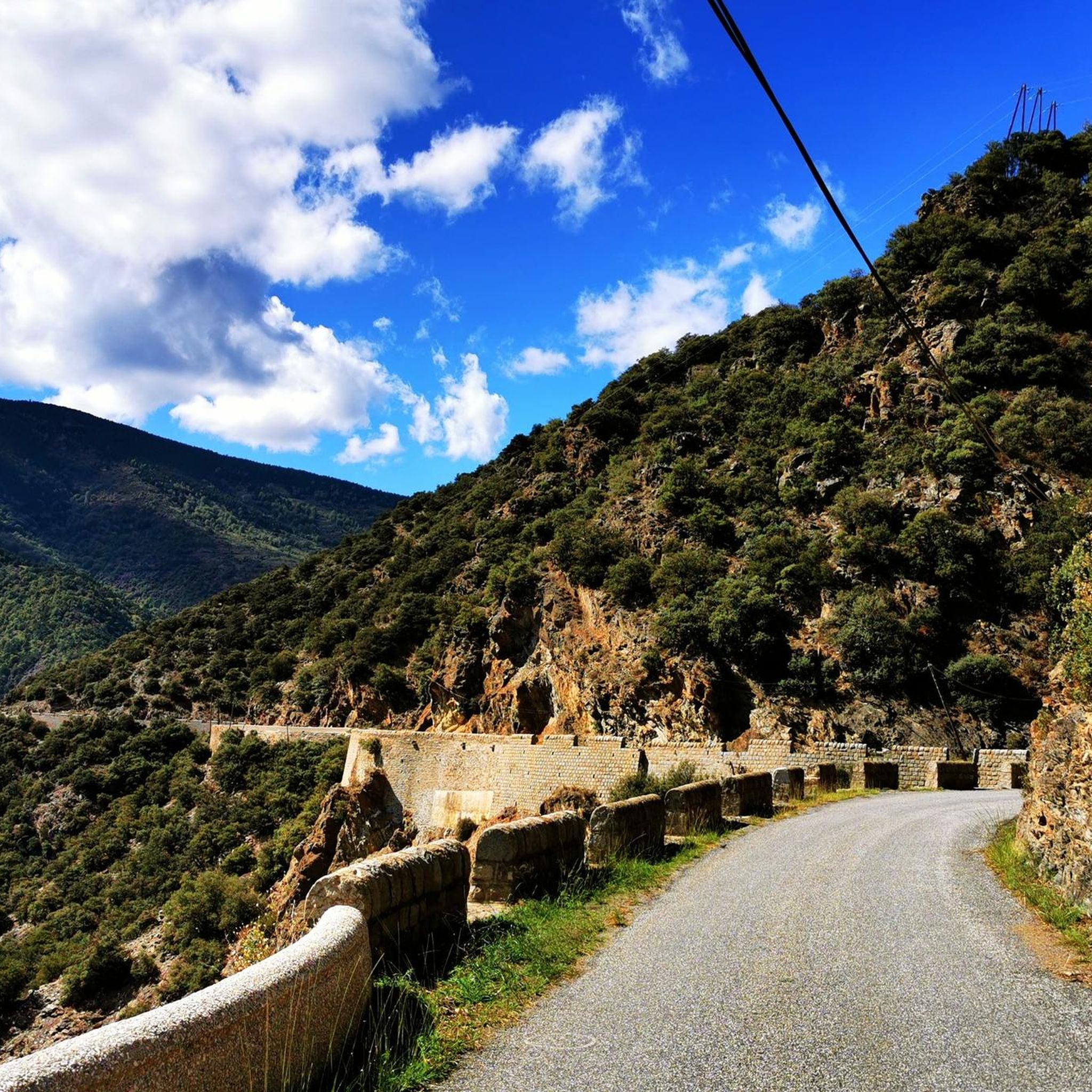
Quite a bit of traffic, but a pretty port, especially the final section.
0
0

It's an ideal spot for a picnic. It's also an ideal place for groups of cyclists supported by vans, as there's plenty of space here to relax and not disturb anyone. The lake is at an elevated point, so accessing it from La Llagonne or Les Angles requires a steep climb, always at a lower gradient.
0
0


Small pass at the exit of Ayguatebia which leads back to the Col de Creu. Not cleared of snow from November to March.
0
0
Fountain in the charming little village of Ayguatebia to refill your water before the final of the Col de la Llose or the Col de Jouël.
0
0


A very pleasant route in summer thanks to the coolness and the constant presence of the Saint-Vincent River, which flows down from the Conques du Canigó. The atmosphere of these gorges and the roar of the waterfalls will enchant you. Be careful, as this steep trail carries a risk of falling rocks and boulders. Follow the signs. Do not use during storms, rain, or flooding. Cross the stream via a ford at the second waterfall. Rocky path. Hiking boots are strongly recommended. Note: The trail is closed from September 30th to April 1st (municipal decree in effect).
16
0
Frequently Asked Questions
What kind of terrain can I expect on road cycling routes around Oreilla?
Road cycling routes around Oreilla are characterized by mountainous terrain, featuring significant elevation gains and challenging climbs. You'll find routes winding through high mountain passes and scenic landscapes, offering varied experiences for road cyclists.
How many road cycling routes are available in Oreilla?
There are over 20 road cycling routes around Oreilla, catering to various skill levels from moderate to difficult. The region is particularly well-suited for experienced riders seeking demanding ascents.
What is a popular challenging road cycling route in Oreilla?
A top favorite among local road cyclists is the Ascent of Mont-Louis and col de la Llose. This difficult 31.8-mile (51.2 km) path includes challenging ascents, gaining over 4,500 feet (1,393 meters) in elevation.
Are there any circular road cycling routes in Oreilla?
Yes, you can find circular routes such as the Col de la Creu – Col de la Llose loop from Olette. This 43.6-mile (70.2 km) trail leads through high mountain passes and is often completed in about 4 hours 20 minutes.
What do other road cyclists think about the routes in Oreilla?
The routes in Oreilla are highly rated by the komoot community, with an average score of 4.5 stars from over 50 reviews. More than 3,000 road cyclists have used komoot to explore Oreilla's varied and challenging terrain.
Are there any natural landmarks or viewpoints along the road cycling routes?
Yes, the mountainous region of Oreilla offers several natural landmarks. You might encounter features like Col Mitjà or Roc de la Foradada, which provide scenic viewpoints and natural beauty along your ride.
Can I find any interesting attractions or places to explore near the cycling routes?
Beyond the natural beauty, you can explore attractions such as the Carança Corniche or the impressive Footbridges of the Carançà Gorge, which offer unique sights and experiences close to the cycling paths.
What is a good route for a long and challenging ride in Oreilla?
For a long and challenging ride, consider the Beautiful mountain road – Col de la Llose loop from Serdinya. This difficult route spans 83 km (51.6 miles) and involves nearly 2,000 meters (6,560 feet) of elevation gain.
Are there any routes that combine lake views with mountain passes?
The Coll de la Llose and Lake Matemale Loop offers a combination of challenging mountain passes and scenic views, including Lake Matemale. This 20.5-mile (32.9 km) route features over 3,100 feet (963 meters) of elevation gain.
What is the general difficulty level of road cycling in Oreilla?
Road cycling in Oreilla is generally considered moderate to difficult, with many routes featuring significant elevation changes and high mountain passes. It's a destination best suited for experienced road cyclists looking for a challenge.
Are there any natural hot springs near the cycling routes in Oreilla?
Yes, you can find the Natural Hot Spring of Thuès-les-Bains, which could be an interesting stop or point of interest near some of the cycling routes.
Most popular attractions around Oreilla

Get inspired with the komoot mobile app


Explore more
Browse the best Road cycling routes in other regions.
