The best cycling routes around Canaveilles
4.3
(92)
2,939
riders
75
rides
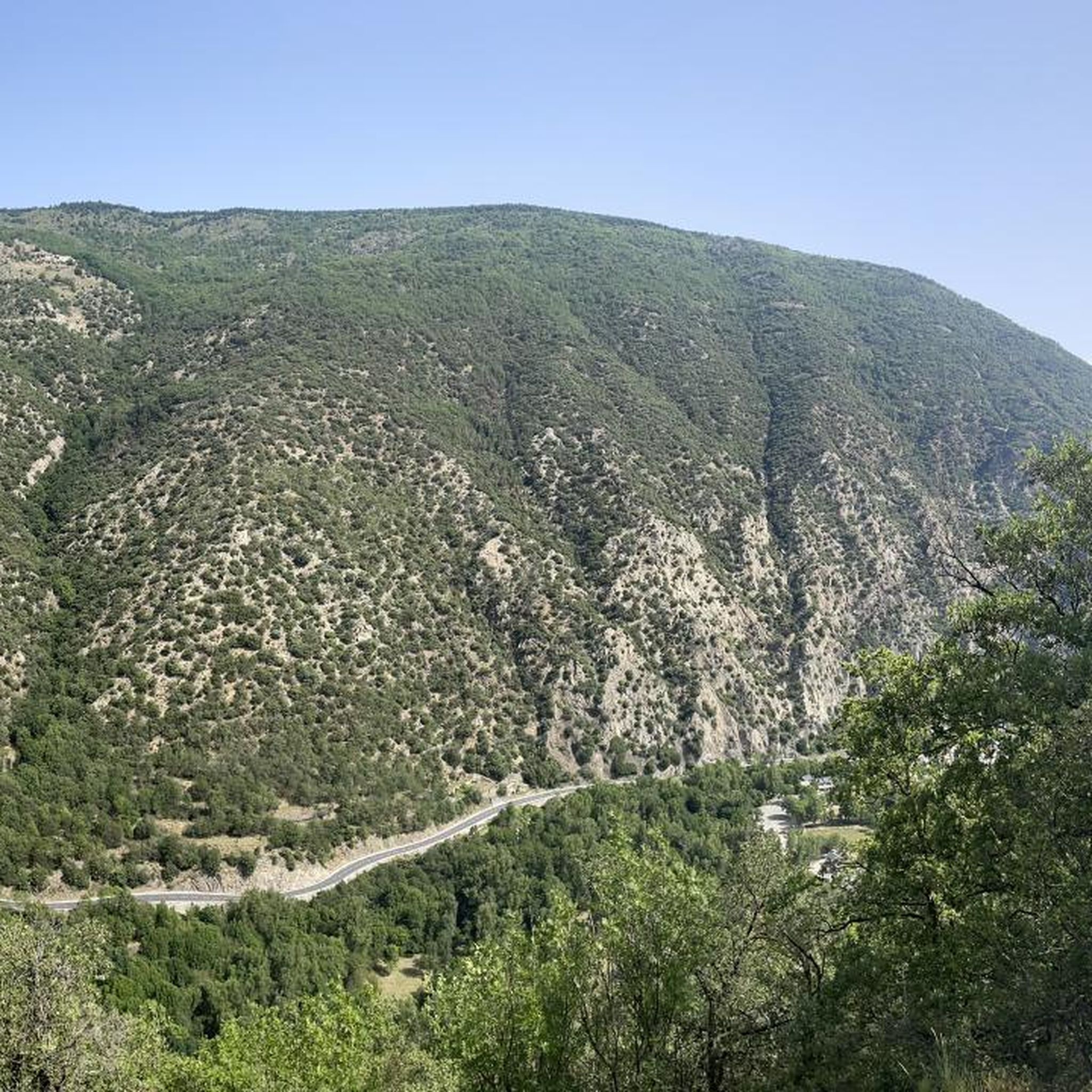
Touring cycling routes around Canaveilles are set within the French Pyrenees, characterized by dramatic mountain scenery and diverse natural features. The region features significant elevation changes, with routes often traversing valleys and ascending towards high passes. Cyclists can expect a mix of challenging climbs and more accessible paths through varied landscapes.
Best touring cycling routes around Canaveilles
- The most popular touring cycling route is From Olette to lake Matemale, a 33.5 miles (54.0 km) trail that takes 4 hours…
Last updated: October 5, 2026
5.0
(2)
27
riders
54.0km
04:27
1,690m
1,680m
Hard bike ride. Very good fitness required. Mostly paved surfaces. Suitable for all skill levels.
5.0
(2)
535
riders
68.5km
05:13
1,750m
1,750m
Hard bike ride. Very good fitness required. Mostly paved surfaces. Suitable for all skill levels.

4.0
(1)
234
riders
95.9km
07:09
2,100m
2,100m
Hard bike ride. Very good fitness required. Mostly paved surfaces. Suitable for all skill levels.
4.5
(2)
43
riders
41.8km
04:19
1,180m
1,180m
Hard bike ride. Very good fitness required. Mostly paved surfaces. Suitable for all skill levels.
5.0
(1)
42
riders
36.6km
03:39
930m
930m
Hard bike ride. Very good fitness required. Mostly paved surfaces. Suitable for all skill levels.
Get access to more routes and recommendations from other explorers.
Already have an account?
Our route recommendations are based on thousands of hikes, rides, and runs completed by other people on komoot.
Start today with a free account
Your next adventure awaits.
Tips from the Community

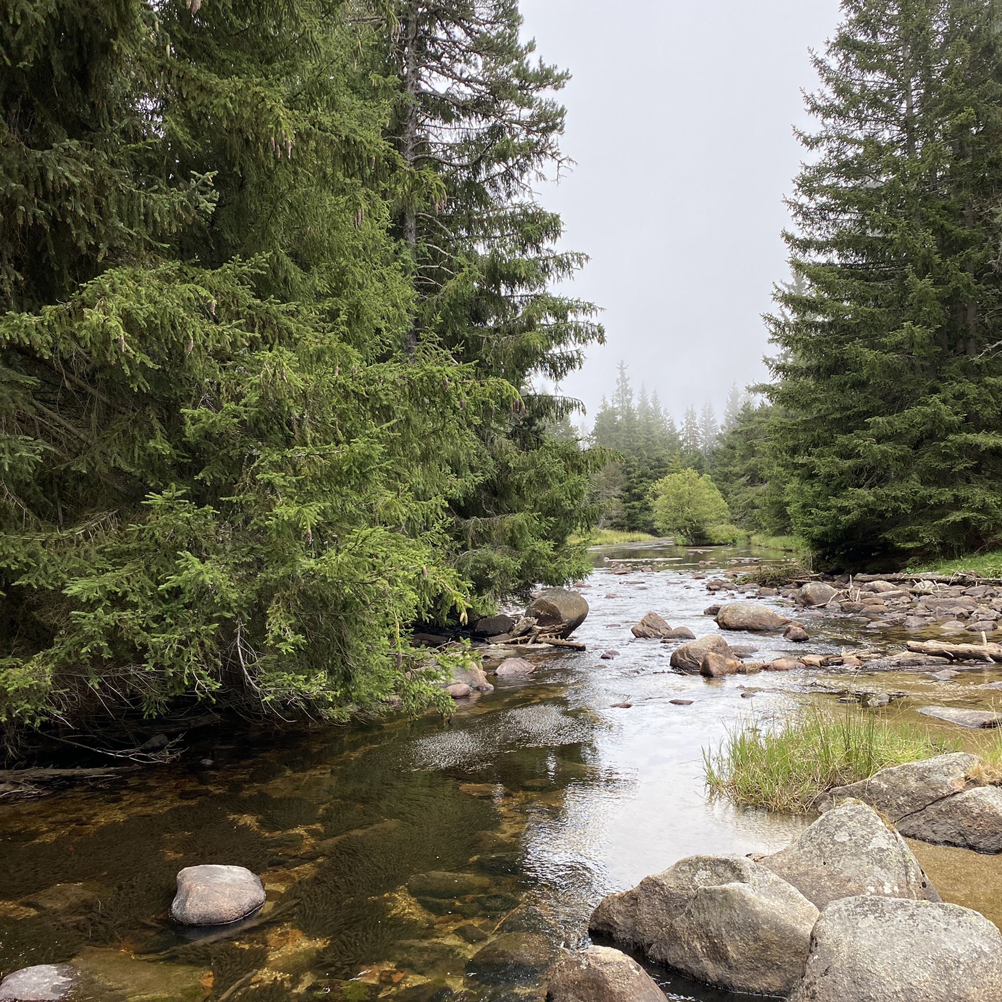
The Matemale lake is located in the middle of the Capcir plateau. The color of its waters captures the attention and creates a desire: to get closer and perhaps take a dip. The lake is developed, and a equipped leisure base opens onto its shores. An ideal stopover.
0
0

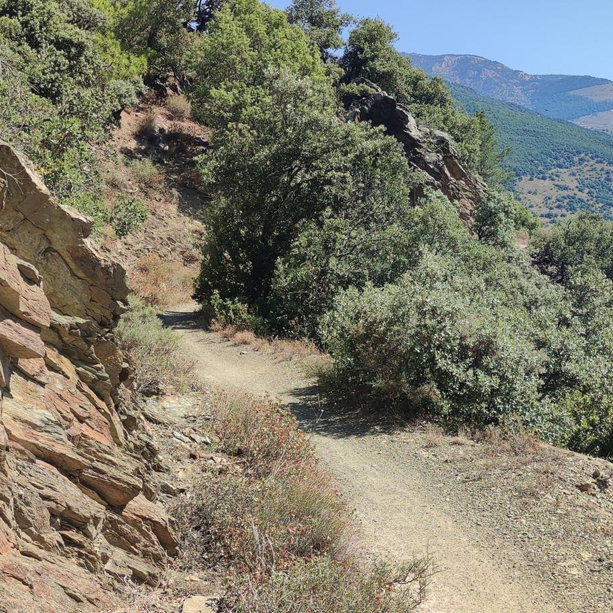
Beautiful, quiet road. It's really nice to be away from traffic, especially if you're leaving the main road that leads to Lake Matemale.
0
0

Lake Matemale with its beautiful beaches is located at an altitude of 1500 metres and therefore the water is between 19 and 23°.
1
1


An intoxicatingly beautiful descent from the Col de la Llose. The narrow road, often lined with shady trees, leads quickly downhill.
1
1

Easy access from Réal via the DFCI, many trails to follow once the pass is reached. An excellent start to the outing
0
0

It is a simply spectacular port that unites the regions of Conflent and Capcir. It is one of the most beautiful ports in the easternmost Pyrenees. It is very close to the Col de la Llosa, and you can take a circular route that is known as the "Route des Cols". It is also indicated on nearby road signs. The hardest slope is the one that begins in Olette (Conflent) and goes up through Aiguatèbia. There are almost 22 km of ascent and 1,089 meters of elevation gain. It has 3 very different zones: (1) the first is a constant 5 km at 7%; (2) the second is 10 km at 4% and with some very pleasant rest areas, with beautiful views; (3) The final part is 6 km on average at 7%, since it passes the town of Railleu, although the hard part is the last 3 km, with several ramps that exceed 10%. The road is narrow and has uneven asphalt, with hardly any cars and motorcycles. For me, the final part of this port is truly spectacular and should not be missed. The west slope begins in the town of Matamala (Capcir) and is 3 km with an average of close to 8%. It is a long irregular stretch along a narrow and very quiet road, with panoramic views of the valley when the thick black pine forest gives some opportunity.
0
0

A little disappointing: the pass is in the middle of the forest and offers no view. The climb from (and to!) Railleu is nevertheless superb. A nice picnic area to have a bite to eat.
1
0
Frequently Asked Questions
How many touring cycling routes are available around Canaveilles?
There are over 70 touring cycling routes in the Canaveilles region, offering a wide range of experiences from moderate to difficult. These routes are highly rated by the komoot community, with an average score of 4.1 stars.
What kind of landscapes will I encounter while touring cycling near Canaveilles?
The Canaveilles region, nestled in the French Pyrenees, offers dramatic mountain scenery, deep gorges like the Carança, and varied valleys. You can expect a mix of challenging climbs towards high passes and more relaxed rides through picturesque valleys, often with views of the majestic Pic du Canigou.
Are there any easier touring cycling routes suitable for beginners or families?
Yes, while many routes feature significant elevation changes, there are 17 easier touring cycling routes around Canaveilles. For a more relaxed experience, consider paths that follow the gentle foothills of the Pyrenees, such as sections of the Vélosud (V81) cycle route, which is designed for a wider variety of cyclists.
What natural attractions can I explore while cycling in the Canaveilles region?
The region is rich in natural wonders. You can encounter the impressive Carança Corniche and its thrilling Footbridges of the Carançà Gorge. The area also features natural hot springs and is close to the Réserve naturelle régionale de Nyer and Lac des Bouillouses. Some routes might even offer glimpses of the iconic Pic du Canigou.
Are there any circular touring cycling routes around Canaveilles?
Yes, there are several circular routes available. One notable option is the difficult Col de la Llose – Refuge du col de la Llose loop from Olette - Canaveilles-les-Bains, which covers 42.5 miles (68.4 km) and includes significant climbs. Another is the Villefranche-de-Conflent – Festa Major de Fillols loop from Olette - Canaveilles-les-Bains, a 23.5 miles (37.8 km) trail leading through valleys and local villages.
What is the best time of year for touring cycling in Canaveilles?
The Pyrenees region generally offers excellent cycling conditions from spring through autumn. While specific weather can vary, these seasons provide milder temperatures and more stable conditions for tackling both valley rides and mountain passes. Always check local weather forecasts before heading out.
Are there any historical or cultural sites to visit near the cycling routes?
Beyond the natural beauty, Canaveilles serves as a gateway to exploring authentic, forgotten medieval villages. Nearby towns like Villefranche-de-Conflent, a UNESCO World Heritage site, and Prades are popular places to visit, offering a glimpse into rural French life and history.
Is public transport available for cyclists in the Canaveilles area?
While specific public transport options for bikes can be limited in mountainous regions, the area is known for the 'Yellow Train' (Train Jaune), which offers a unique way to experience the landscape. Cyclists should check specific rules and availability for bike transport on this service. For longer distances, consider local taxi services that may offer bike transport, especially between towns like Canaveilles, Olette, and Prades.
Where can I find parking for touring cycling routes in Canaveilles?
Parking is generally available in and around the villages that serve as starting points for routes, such as Olette and Canaveilles itself. For specific trailheads, it's advisable to check local signage or route descriptions for designated parking areas. Many routes, like the one From Olette to lake Matemale, often start from accessible village locations.
Are there any cafes or pubs along the touring cycling routes for refreshments?
While the routes often traverse natural and sometimes secluded areas, villages like Canaveilles, Olette, and Prades offer amenities including cafes and pubs where you can refuel. Planning your route to pass through these villages can ensure you have access to refreshments and local hospitality.
What is the difficulty level of the touring cycling routes around Canaveilles?
The touring cycling routes around Canaveilles are quite varied. Out of 74 total routes, 17 are considered easy, 20 are moderate, and 37 are difficult. This means there are plenty of options for cyclists seeking a challenge, such as the difficult Clot Lake loop from Oreilla, as well as more relaxed rides.
Are there any specific regulations or permits needed for cycling in natural parks in the Pyrenees-Orientales region?
When cycling within natural parks or protected areas in the Pyrenees-Orientales, it's important to be aware of local regulations. While general touring cycling on established roads and paths typically doesn't require special permits, certain sensitive areas or specific trails might have restrictions or require prior authorization. Always respect signage and local guidelines, especially concerning environmental protection.
Most popular routes around Canaveilles
Most popular attractions around Canaveilles

Get inspired with the komoot mobile app


Explore more
Browse the best Cycling routes in other regions.
